Browse Items (1442 total)

  • Tags: aerial photograph
PThomasAF20040045.jpg
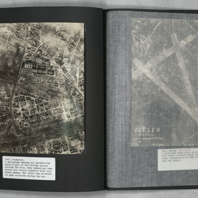
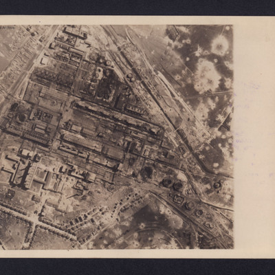
A vertical aerial photograph of Frankfurt showing extensive damage. Frankfurt Haupt-Bahnhof is shown lower right, with the main lines running across to lower left corner. In the centre of the photograph is a large industrial plant with extensive…
PMcDermottC16020083.jpg
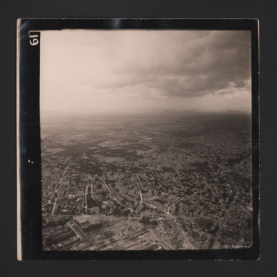
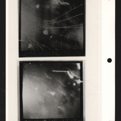
A sequence of two aerial photographs of Frankfurt, with an heavily bombed industrial area.


Identification kindly provided by Andrew Gordon of the Finding the location WW1 & WW2 Facebook group.

PFordTA17030004.jpg
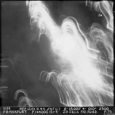
A vertical aerial photograph of Frankfurt. The image was taken at night and half is obscured by anti-aircraft fire. Almost nothing can be seen on the ground. annotated '1698 MEP 12/13.9.44// NT (C) 8” 18,500 [arrow] 010[degrees] 2300. FRANKFURT. P…
POHaraHF16010009.jpg
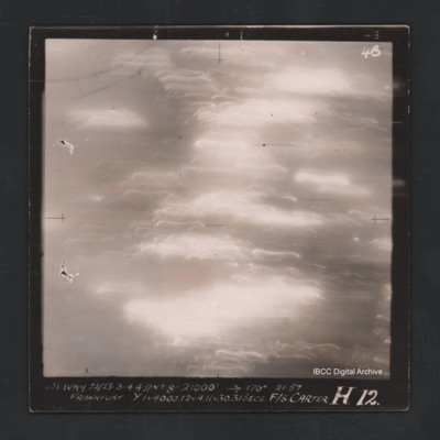
Vertical aerial photograph of Frankfurt. The image is totally obscured by cloud or fires and anti-aircraft fire. Captioned ‘4B 4B' and ‘481 WKY 22/23-3-44 //NT 8” 21000 [arrow] 177° 21.57 Frankfurt Y 1 x 4000.12 & 4.11x30 31 secs F/S…
PJarmyJFD17010003.jpg
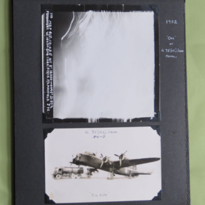
Two photographs from an album.
Photo 1 is a vertical aerial photograph taken over Frankfurt. All the detail is obscured by light and anti-aircraft fire. It is annotated '110 Mep 4/5.10.43//NT 8" 16000 --> 045° . 21.37 ½. Frankfurt. W. 10x30: 8…
PFordTA17040006.jpg
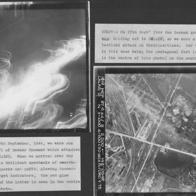
Two vertical aerial photographs from an album.
Photograph one, Frankfurt at night, is indecipherable. Captioned 'a brilliant spectacle of searchlights, flak sparks and puffs, glowing incendiaries and target indicators'.
Photograph two is taken…

PPowellNI19030002.jpg
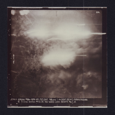
Target photograph showing explosions. Captioned '2969 104/101, 25/26 Apr 45, F8//NT 9200 ft, >255 degrees.22.47 Freilassing, G 2x1000, 10x500 Mk III 21 F/O Ward (F/O Scott B/A) R'. Two versions of the same image.

SPowellNI1896919v10002-0005.jpg
Copies of target photographs of Innsbruck and Freilassing.
The upper image has no detail, just some glare. It is captioned:
2969. 104/101. 25/26-APR-45. F8".//NT. 9200'.→255°. 2247. FREILASSING.
G. 2x1000. 10x500. MkIII 21. F/O WARD (F/O…

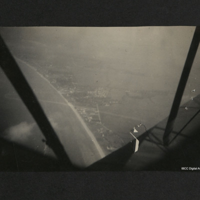
PWhymarkJP23010010.jpg
Aerial view of a coastline, beach and town with fields beyond. The aircraft struts, propeller and part of the fuselage can be seen from the aircraft. On the reverse, 'French coast at Caen during summer 1940'.

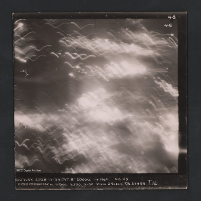
POHaraHF16010022.jpg
Vertical aerial photograph of Friedrichshafen. Entire image is obscured by smoke, clouds and anti-aircraft fire. Captioned ‘4B 4B’ and '800 WKY 27/28-4-44 // NT 8” 20000’ [arrow] 116° 02.09 Friedrichshaven W 1 x 1000 1 x 500 8 x 30…
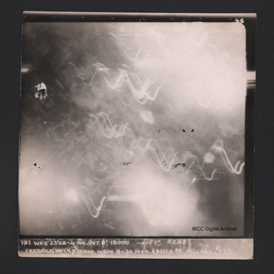
POHaraHF16010034.jpg
Vertical aerial photograph of Friedrichshafen. Most of the image is obscured by smoke, clouds and anti-aircraft fire. Near the centre a regular street pattern is visible. Captioned ‘4B 4B’ and '797 WKY 27/28-4-44 // NT 8” 18000’ [arrow]…

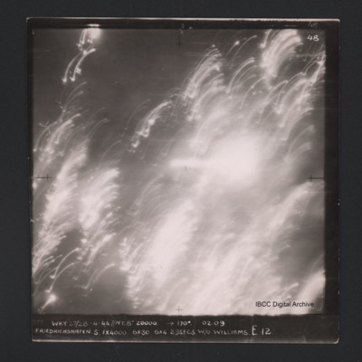
POHaraHF16010036.jpg
Vertical aerial photograph of Friedrichshafen. All of the image is obscured by smoke, clouds and anti-aircraft fire. Captioned ‘4B 4B’ and '777 WKY 27/28-4-44 // NT 8” 20000’ [arrow] 170° 02.09 Friedrichshaven S 1 x 4000 6 x 30 6 x 4…

PPearceAT16010015.jpg
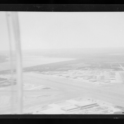
Air-to-ground view of Gander airfield looking south west . Main runway from mid left to bottom right. Hangars and other buildings below and above runway. Subsidiary runway on right River on left.

PHouriganM18030158.jpg
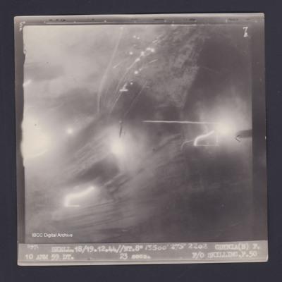
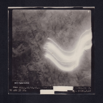
Target photograph of Gdynia. Partially obscured by smoke, dust and light streaks. no detail visible. Aircraft silhouetted in centre. Captioned '5°F', '7B', '3971 SKELL.18/19.12.44//NT.8" 13500' 275° 2202 GDYNIA(B) F. 10 ANM 59DT. 23secs. F/O…

PHouriganM18010055.jpg
Target photograph of Gdynia. Partially obscured by light streaks, visible area is urban but no clear detail visible. Captioned '9', '3989 SKELL. 18/19.12.44.//NT(C)8" [height, heading & time censored] GDYNIA(B) 10 ANM 59 DT. [exposure censored] F/L…

SWeirG19660703v110004-0002.jpg
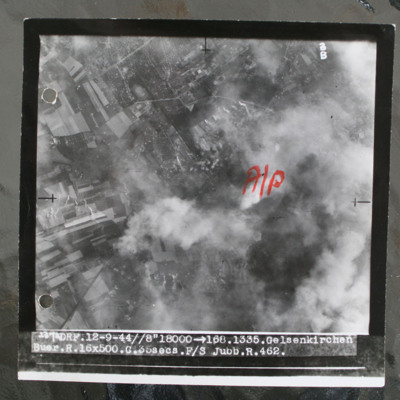
Target photograph show bombs on built up area. Annotated with aiming pot in red ink. Captioned 'DRF.12-9-44//8" > 168.1335. Gelsenkirchen. Buer.R.16x500.C.35secs.F/ Jubb.R.462'. Note: this was an attack on the synthetic oil plant at Scholven/Buer…

SWeirG19660703v110004-0009.jpg
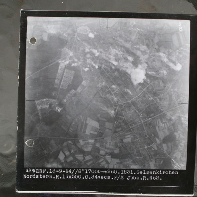
Target photograph showing built up area top right with smoke from bomb explosions. Captioned '2391.DRF.13-9-44//8" 17000.1831.Gelsenkirchen.Nordstern.R.16x500.C.34secs.F/S Jubb.462'.

This item was sent to the IBCC Digital Archive already in…

SCockramJC419379v10021.pdf
Information for two operations. The first has navigation logs and a plotting map for the operation to Le Havre on the 11th September, this is the crews 21st operation. The second has navigation logs, a plotting map and a target photograph for an…

PPappinJ1713.jpg
An aerial reconnaissance photograph of the oil plant at Gelsenkirchen. On the reverse is a typed note with brief details about the operation. It was intended for publication in newspapers. Bomb craters are visible throughout the photograph with much…

PFOMetheringhamAF19040027.jpg
Top - target photograph showing tracer lines and explosions. Caption too faint to read. Submitted with description 'Target photo of Gnome-Rhone factory at Gennevilliers on 9/10 May 1944. Photo taken from Lancaster ND682, ZN-K. Captain: P/O…

POHaraHF16010023.jpg
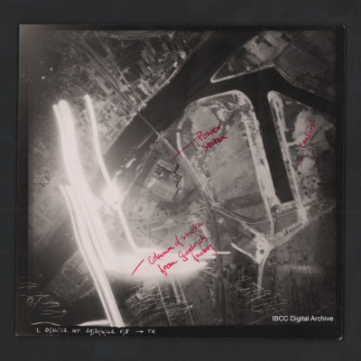
Vertical aerial photograph of Gennevilliers. The image is of factories and dockyards. Annotated ‘Column of smoke from Goodrich factory’, ‘Power station’ and ‘Craters?’ Captioned ‘1. O (X4) 12 NT 29/30/4/42 F/8” [arrow] TX’. On the…

PCruickshankG1501-0018.jpg
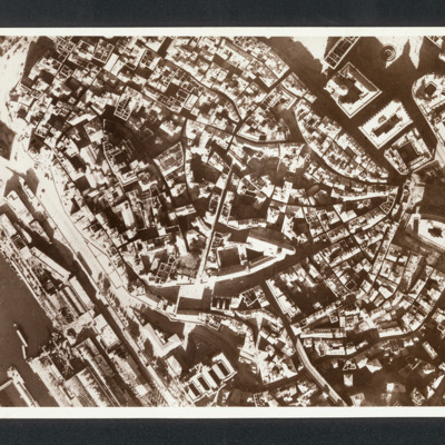
Reconnaissance photograph photograph showing city centre with port bottom left.. Captioned between pages 35-36 of 1956 Memoir '“Genoa Italy” Damage in Ansaldo fitting out yard after raids in late 1942 [written down left hand side of page]'. On…

PNealeETH1542.jpg
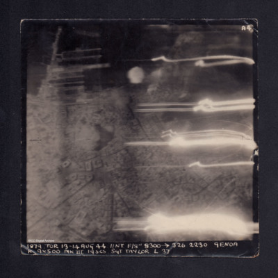
A vertical aerial photograph taken during bombing of Genoa. The right side has several flashes of anti-aircraft fire. Street patterns, docks and buildings are visible. It is captioned '1879. TOR 13-14 Aug 44 //NT F/8" 8300 -->326 2230 Genoa K 9 x 500…

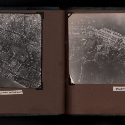
PWrigleyJ17040015.jpg
Photograph 1 is a vertical aerial photograph of a city on the coast. It is captioned 'Georgetown, Straits Settlement'
Photograph 2 is a vertical aerial photograph of a town on the coast. It is captioned 'Jesselton, Borneo'.
Output Formats

atom, dc-rdf, dcmes-xml, json, omeka-xml, rss2