Browse Items (687 total)

  • Conforms To is exactly "Geolocated"

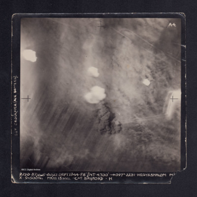
PNealeETH1544.jpg
A vertical aerial photograph taken during the bombing of Hegyeshalom. Most of the image is obscured by bomb explosions and smoke. It is captioned 'SGT CROUCHER (AIR BOMBER) on LH side and at bottom: '2210. 37/265. 20/21 Sept 1944. F8"//NT.…

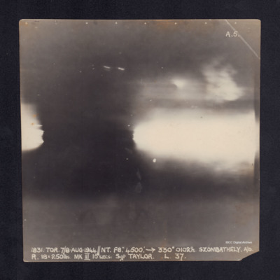
PNealeETH1556.jpg
A vertical aerial photograph taken during the bombing of Szombathely. No detail is visible due to anti-aircraft explosions. It is captioned '1831.TOR.7/8 AUG.1944//NT.F8". 4500: ->330°0102½.Szombathely.A/D
R.18x250lbs.MKIII 15secs.Sgt…

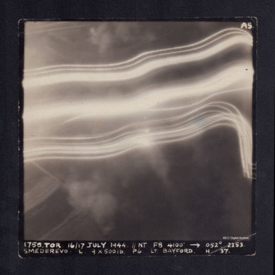
PNealeETH1558.jpg
A vertical aerial photograph taken during the bombing of Smederevo. No detail is visible due to anti-aircraft flashes. It is captioned '1758. TOR 16/17 JULY 1944.//NT F8 4100' -->052°. 2253. Smederevo. L. 9 x 500 lb P6 Lt.Bayford. H. 37.'

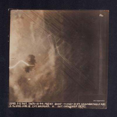
PNealeETH1560.jpg
A vertical aerial photograph taken during the bombing of Szombathely aerodrome. The left side of the image is obscured by explosions and smoke. It is captioned ' 2393. 37/307. 20/21.10.44. F8//NT.8000' -->020°. 21.57.Szombathely A/D. X. 9x500. MkIII…

PNealeETH1562.jpg
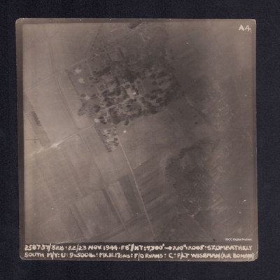
A vertical aerial photograph taken during the bombing of Szombathely South marshalling yard. Fields and a wood are visible with connecting grid of road. It is captioned ' 2. 37/328. 22/23 NOV.44. F8"//NT.7300' -->210°. 2005 . Szombathely South M/Y.…

POpenshawB1805-0003.jpg
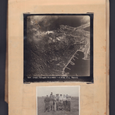
Top - target photograph of a large port city with land to the left side and port with piers bottom right. Bomb explosions top centre. Captioned '2625 104/61, 17 Feb 45, F8, 14200ft→ , 15.16 1/2. E.L. Trieste'.

Bottom - eleven airmen round a…

POpenshawB1805-0009.jpg
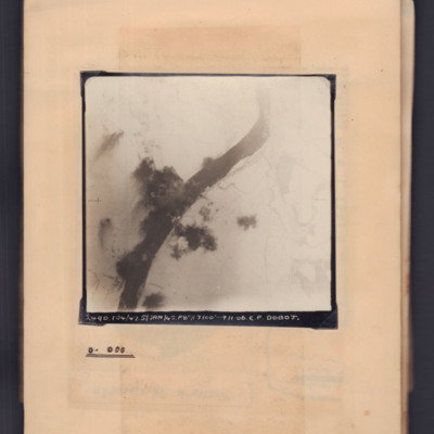
Target photograph showing snow-covered landscape with river running bottom left curving to top right. In the centre a bridge with bomb explosions on both banks. Captioned '2490, 104/47, 5 Jan 45, F8, 7100 ft,→ 11.06, C.F. Doboj. Annotated on page…

POpenshawB1805-0013.jpg
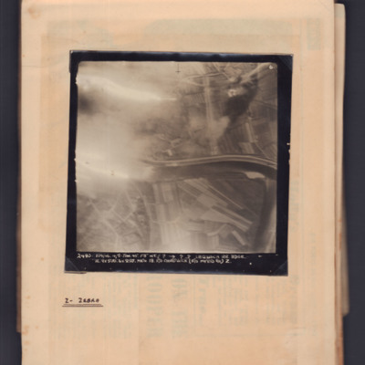
Target photograph showing river running left to right in centre with flare on left side. Captioned '6' and '2480, 104/46, 4/5 Jan 45, F8, NT, ?,→ ??, Latisana RR Bdge, H, 9x500:6x250 Mk IV, 18, F/O Chadwick (F/O Myers B.A.) Z'. Annotated on page…

POpenshawB1805-0015.jpg
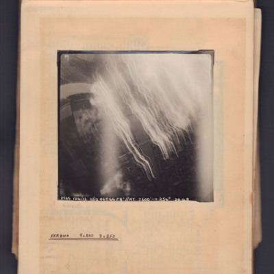
Target photograph showing river running top left curving to bottom right. Tracer and flares on right side. Captioned '1965, 104/12.11/12 Oct 44, F8, NT, 7600 ft→, 254 degrees, 20.48' . Annotated 'Verona 9x500 3x250'.

POpenshawB1805-0019.jpg
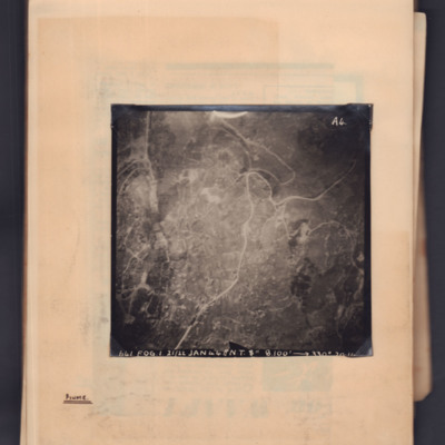
Target photograph showing a town with a main road running through from top right to bottom left. Captioned '641, FOG, 1, 21/22 Jan 44, NT 8", 8100ft→ , 330 degrees, [...]'. 'A4' Annotated 'Fiume'.

POpenshawB1805-0022.jpg
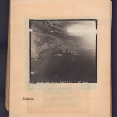
Target photograph showing a coastline running middle left to middle right. Bay on left, town and port towards the right side. Explosions visible in bay. Captioned '1912.104/6, 21/22 Sept 44, F8, NT, 8100 ft,→ 130 degrees, 20.01'. Handwritten below…

POpenshawB1805-0027.jpg
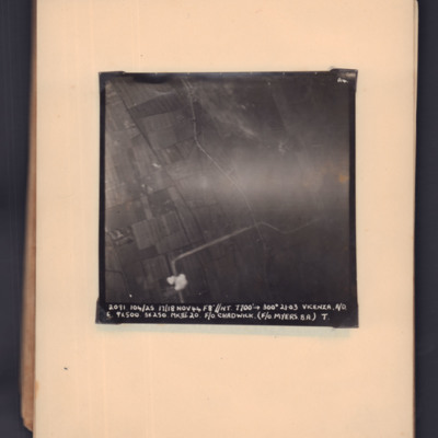
Target photograph of open countryside. Road runs bottom middle zig-zag to middle right. Bomb explosion bottom middle. Captioned '2091, 104/25, 17/18 Nov 44, F8, NT, 7700 ft,→ 300 degrees, 21.03, Vicenza, A/O. E, 9x500, 3x250 MkIII 20, F/O Chadwick.…

POpenshawB1805-0029.jpg
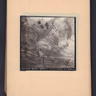
Two prints of the same target photograph showing open countryside with road running bottom left to right. Captioned '2133, 104/27, 19 Nov 44, F8, 8000 ft,→ 1140, DS Sjenica Novi Pazar RD'.

POpenshawB1805-0030.jpg
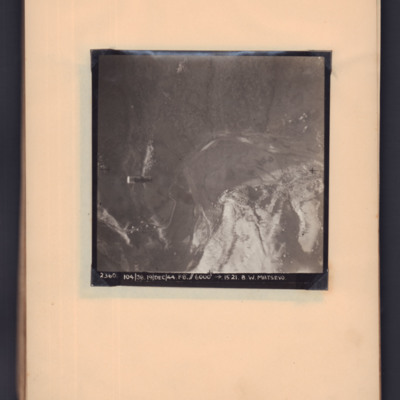
Target photograph showing open countryside. A supply container is visible in mid air on the left hand side, a road snakes from bottom left to centre right. Captioned '2360, 104/38, 19 Dec 44, F8, 6000 ft, →1521, B W Matsevo'.

POpenshawB1805-0035.jpg
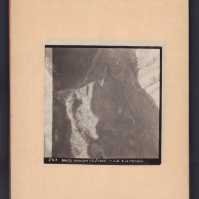
Target photograph of open country with road snaking middle left to top right then to bottom right. Captioned '2363, 104/38, 19/Dec/44, F8, 6000 ft, →5121, B.W.Matsevo'.

PThomasAF20040037.jpg
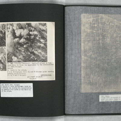
A confidential document. Three aerial photographs showing the development of a daylight bombing attack on Cologne. All images are taken at timed intervals during the attack, at the start, then after 2.5 and 6 minutes. The location is adjacent to the…

PThomasAF20050012.jpg
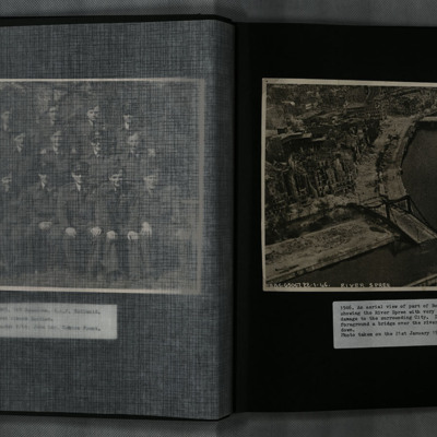
A low level oblique aerial photograph of Berlin and the River Spree, showing extensive damage to the city and Hugo-Preuß-Brücke.

PThomasAF20050017.jpg
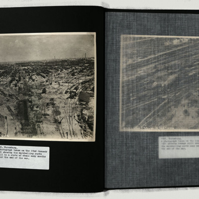
Photo 1 and 2 are the marshalling yards still showing a huge amount of damage.
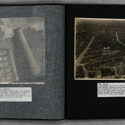
Photo 3 is a view of the heavily damaged Apprentice Shop of the Man works.
Photo 4 is the heavily damaged Searchlight Mirror Shop of the Fiems-Schuchorp Works.
Photo 5…

PThomasAF20050024.jpg
A low level oblique aerial photograph of Bremen showing extensive bomb damage.

PThomasAF20050029.jpg
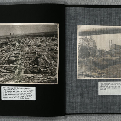
Two photographs showing the remains of the heavily bombed Misburg oil refinery, Hanover. Situated between Misburg-Nord and Misburg-Süd, the site is located west of Anderter Straße. Nearby there are two adjoining canals, Mittelland and Stichkanal…

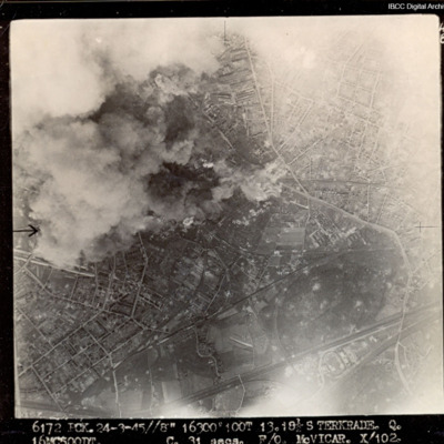
PWalkerS17010061.jpg
Target partially obscured by cloud and dust. Captioned '6172 PCK 24-3-45 //8" 16300 100T 13 181/2 STERKRADE Q [?] C 31secs F/O McVICAR. X 102'.

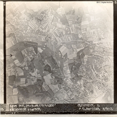
PWalkerS17010027.jpg
A target aerial photograph of Osnabruck with numerous bomb craters visible.
Captioned '6195 PCK. 25-3.45//8" 16200' OSNABRUCK. Q. 1HC2000IN 11X15CP. F/O McVICAR. X/102

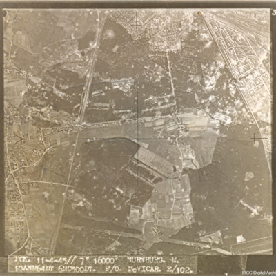
PWalkerS17010026.jpg
A target aerial photograph of Nürnberg-Langwasser, adjacent to Moorenbrunn, Nuremberg. Bomb craters are visible throughout.

Captioned 'PCK. 11-4-45//7" 16000' NURNBURG. M. 10ANM64IN 6MO500DT. F/O McVICAR. E/102.'

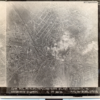
PWalkerS17010005.jpg
Urban area, smoke and dust in centre of picture. Captioned '6195 PCK 25-3-45//8" 16200' 020T 10.01 OSNABRUCK. Q. 1HC2000IN 11X15CP. C 27secs F/O McVICAR X/102
Output Formats

atom, dc-rdf, dcmes-xml, json, omeka-xml, rss2