Browse Items (540 total)

  • Type is exactly "Map"

SKingEJ182986v10034.jpg
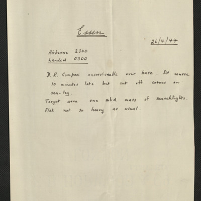
Four items, Edward's description of the operation, comments that their D.R. compass went U/S over their base, lots of searchlights but not so much anti-aircraft fire. Edwards nav plot, the expected H2S plot over Essen. Newspaper cuttings describing…

PNichollsJEK20010005.jpg
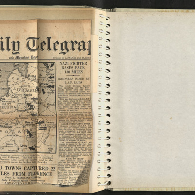
Newspaper cutting. The whole German fighter force operating over Normandy forced to operate from bases more that 130 miles away. Report that German propaganda about flying bombs wearing thin. Problems of German soldiers with lack of sleep in…

CCattyMA-180822-010006.jpg
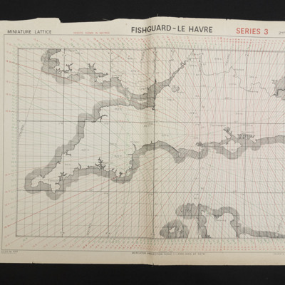
Gee chain chart, sheet 1 covering the south of England and Wales and the very north of France.

CRoyallGL-220420-01.jpg
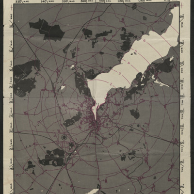
A radar (H2S) prediction map of Flensburg. Bodies of water are shown in white, lines of communication and built up areas are shown in purple and wooded areas and rail lines are shown in black. The map is also marked with concentric rings, centred on…

Tags: ;

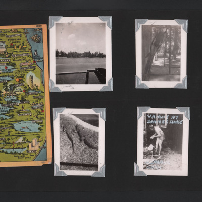
PScottEW17020046.jpg
Left - colour postcard with artwork map of southern Florida.
Top middle - view across water to far shore with trees and houses.
Top right - parrot in a cage.
Bottom middle - two alligators.
Bottom right - a woman wearing shorts preparing food…

Tags:

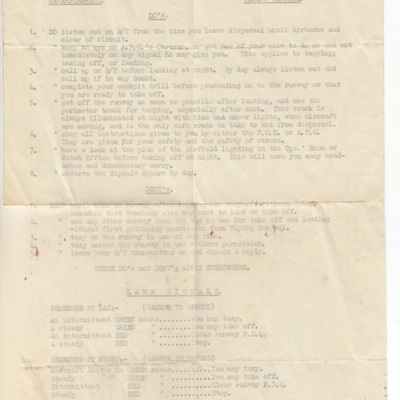
MGoodwinWJ419914-170607-020001.jpg
List of do's and don'ts for flying operations at Haverfordwest as well as a list of lamp signals and a map of the airfield with runways and dispersals marked.

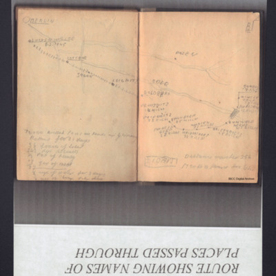
SHookerFJ1805487v10019.jpg
A sketch map of the route taken by the prisoners from Stalag Luft 7. It names the towns passed through, the numbers of prisoners killed and their rations for 21 days.

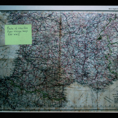
SDexterKI127249v10024.jpg
Escape map covering southern France, north Spain, part of Italy and Switzerland. Post-it note 'Photo of rare rice paper escape map RAF WWII'.

Tags:

OThompsonKG12308603-150907-010006.jpg
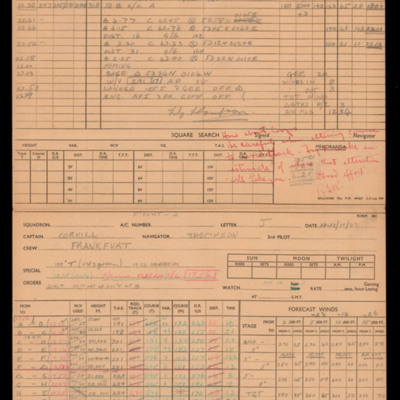
Navigational calculations and a chart for an operation to Frankfurt.

OThompsonKG12308603-150907-010066.jpg
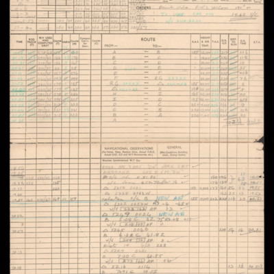
Navigation calculations and a chart for operation to Frankfurt.

OThompsonKG12308603-150907-010070.jpg
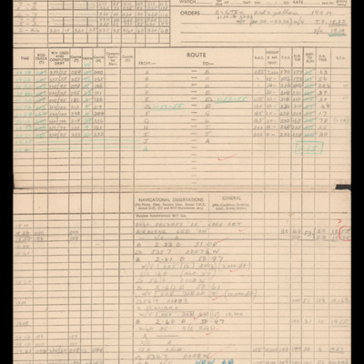
Navigation calculations and a chart for operation to Frankfurt.

CLeadbetterJ-160421-010017.jpg
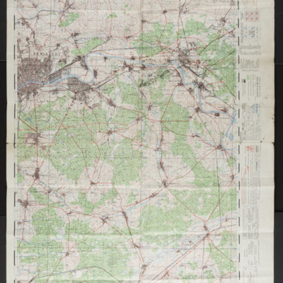
A 1:50000 scale map of the East of Frankfurt.

CHoldenJ-170725-010001.jpg
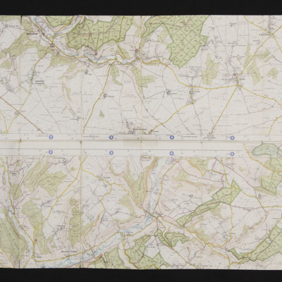
There are two strips of mapping, the first has Puchay, Eure in the East, the second has Morville-sur-Andelle.
The second image is the middle of the two strips.
The mapping covers where the Lancaster crashed and where the crew were shot.

CBurkeB-170704-010003.jpg
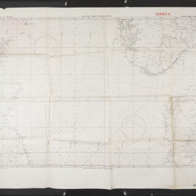
North Sea sheet N.W 54/4 showing north west Britain and northern Netherlands and southern Norway.

Tags:

SCattyMA164193v10031-0001.jpg
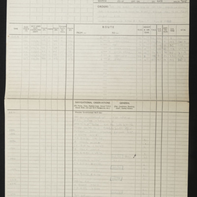
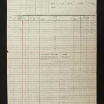
Navigational computations and chart for an operation to Gelsenkirchen.

SCattyMA164193v10032-0001.jpg
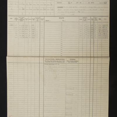
Navigational computation and chart for an operation to Gelsenkirchen.

CLarmerLO-151112-02.jpg
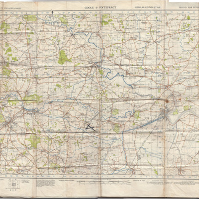
Ordnance survey of England and Wales map, sheet 32, Goole and Pontefract, second war revision 1940, with the intersecting runways of RAF Snaith drawn on.

BPattisonLEPattisonLEv2.pdf
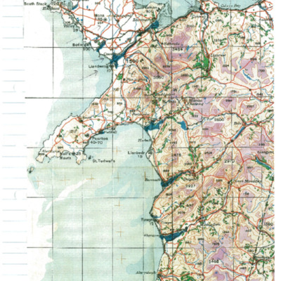
Shows maps of North Wales and the Midlands as well as an explanation of the Douglas protractor as well as diagrams of the Dalton computer and photographs of Wellington. Describes training at RAF Lichfield from end of March to 21 June 1944. Shows…

PThompsonKG15010087.jpg
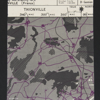
Part of a map showing the expected radar returns on H2S from Thionville, France, Marshalling Yards.

Tags:

SCattyMA164193v10035-0001.jpg
Navigational computation for an operation to Hamm. Also included is a vertical aerial photograph taken during the bombing operation.

MCuthillCR574146-180818-10.jpg
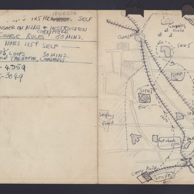
Hand drawn map of a local area in Florida with towns (Gonzales) , railway lines, river, airfields and navigation route with heights. Notes on flights in N3N3 (US Navy training aircraft).

Tags:

MAllenDJ1880966-150702-280001.jpg
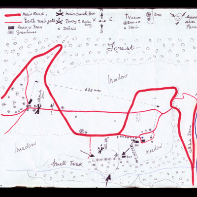
The first map shows the area of Vieux-Pre near Spa in Belgium and shows the locations of the main crash site, victim bodies, debris and supposed area of parachuter [sic]. The second map shows profile of supposed area of fall.

Tags: ;

OThompsonKG12308603-150907-010112.jpg
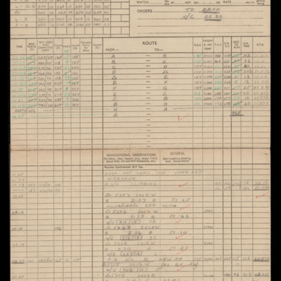
Navigation calculations and a chart for operation to Hasselt.

CWhittleGG-160822-010014.jpg
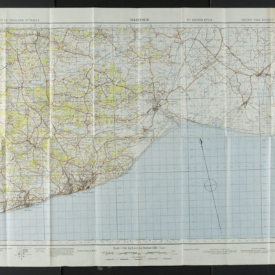
Ordnance Survey map of Hastings, scale one inch to one mile.

SCattyMA164193v10006-0001.jpg
Navigational computation and a chart for an operation to Heinsberg.
Output Formats

atom, dc-rdf, dcmes-xml, json, omeka-xml, rss2