Browse Items (35180 total)
Sort by:
Westerburg [entry point]
This page is an entry point for a place. Please use the links below to see all relevant documents available in the Archive.
West Springfield [entry point]
This page is an entry point for a place. Please use the links below to see all relevant documents available in the Archive.
West Palm Beach [entry point]
This page is an entry point for a place. Please use the links below to see all relevant documents available in the Archive.
West Malling [entry point]
This page is an entry point for a place. Please use the links below to see all relevant documents available in the Archive.
West Kirby [entry point]
This page is an entry point for a place. Please use the links below to see all relevant documents available in the Archive.
West Hartlepool [entry point]
This page is an entry point for a place. Please use the links below to see all relevant documents available in the Archive.
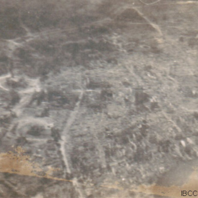
West Essen
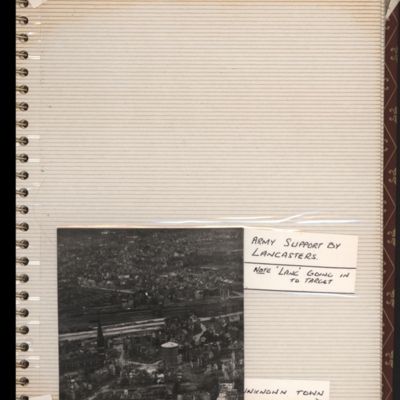
Bottom - oblique aerial photograph of town with railway running left to right through middle. Captioned 'Unknown town'. Submitted with description 'Oblique "Cook's tour" aerial photo of unknown town.'.
This is West Essen, the photo is taken…
This is West Essen, the photo is taken…
Tags: aerial photograph; bombing; Cook’s tour
West Capelle Dyk N
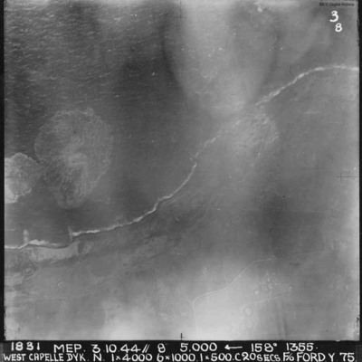
A vertical aerial photograph of the Westkapelle Dyke, Vlissingen. The coastline can be seen but little on the ground. annotated '1831 MEP 3.10.44// 8” 5,000 [arrow] 158[degrees] 1355. WEST CAPELLE DYK. N. 1 x 4000. 6x1000. 1x500.C 20 SECS. F/O…
West Bromwich evacuation
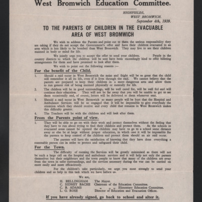
A document from the West Bromwich Education Committee providing information and advice on the evacuation of West Bromwich.
Tags: childhood in wartime; evacuation
West Bromwich
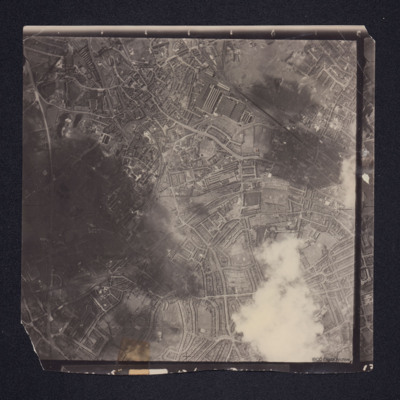
A vertical aerial photograph of West Bromwich. Canals and railway branches are clearly visible.
Identification kindly provided by Richard Evans of the Unidentified photos of the British Isles Group.
Identification kindly provided by Richard Evans of the Unidentified photos of the British Isles Group.
Tags: aerial photograph
Wessex helicopters in hangar, Syd Marshall at Springfields
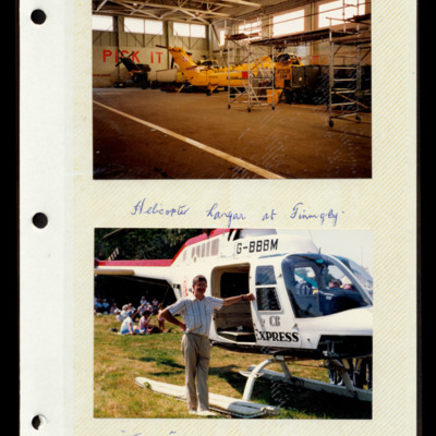
Photograph 1 is of two Wessex helicopters in a hangar, captioned 'Helicopter hangar at Finningley'.
Photograph 2 is of Syd Marshall leaning on a Jet Ranger helicopter captioned '"Express" helicopter at Springfields'.
Photograph 2 is of Syd Marshall leaning on a Jet Ranger helicopter captioned '"Express" helicopter at Springfields'.
Tags: hangar; RAF Finningley
Wesseling [entry point]
This page is an entry point for a place. Please use the links below to see all relevant documents available in the Archive.
Weser-Ems Region [entry point]
This page is an entry point for a place. Please use the links below to see all relevant documents available in the Archive.
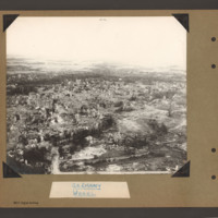
Wesel Cooks tour
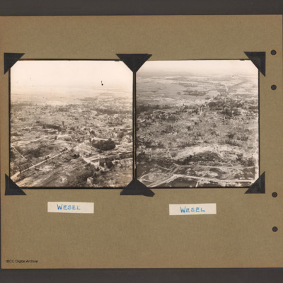
Oblique aerial photograph of a city with much bomb damage. Submitted with caption 'Wesel Cooks tour'. Willibrordi Cathedral is to far left centre.
Tags: aerial photograph; bombing; Cook’s tour
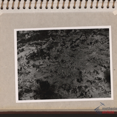
Wesel Bomb damage
Oblique aerial photograph of a town totally destroyed. Large structure lower left, probably church. Submitted with description 'Oblique aerial photo showing bomb damage to an unidentified urban area'.
Tags: aerial photograph; bombing; Cook’s tour
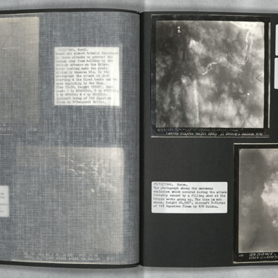
Wesel and Essen
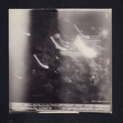
Photo 1 is a vertical aerial photograph of Wesel during an attack. The town is obscured by cloud and the bombers used Gee-H. There are tracks of a bomber going down in flames and exploding on contact with the ground. Photo 2 is a vertical aerial…
Wesel [entry point]
This page is an entry point for a place. Please use the links below to see all relevant documents available in the Archive.
Wesel (North Rhine-Westphalia) [entry point]
This page is an entry point for a place. Please use the links below to see all relevant documents available in the Archive.
Wesel
Aerial inclined photograph showing a town with almost all buildings damaged or completely destroyed. In the foreground parkland with trees and a few scattered damaged buildings. There are a number of bomb craters visible. In the centre the main part…
Tags: aerial photograph; bombing; Cook’s tour
Wesel
On the left an aerial inclined photograph of a badly damaged town. The the foreground a open area with few standing buildings, large areas of rubble and occasional bomb craters. In the bottom right quadrant a road circles a small wooded area. There…
Tags: aerial photograph; bombing; Cook’s tour
Wesel
Target photograph of Wesel. Obscured by light streaks and bomb explosions, No clear detail visible. Captioned '5°F', '5B', '4854 SKELL.23/24.3.45//NT(C)8" 11000' 030° 2237 WESEL.Q 8MC1000.TD. 6ANM65TD 21SECS.F/O.ROOCROFT.Q.61.'. On the reverse…

