Browse Items (206 total)

  • Tags: RAF Wickenby

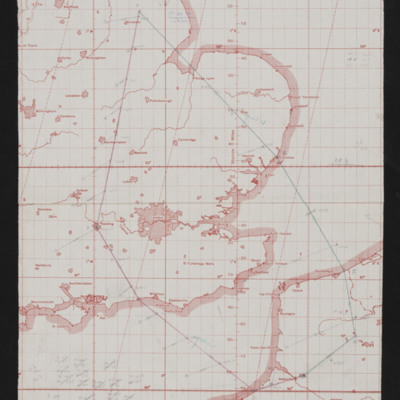
CWittyAR-170323-010120.jpg
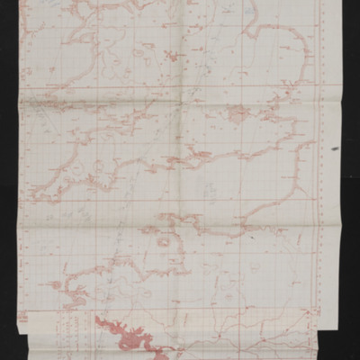
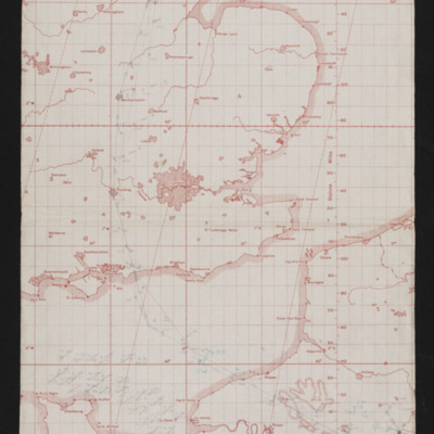
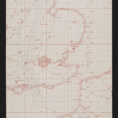
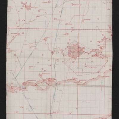
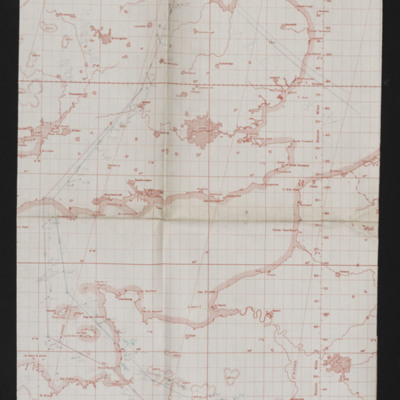
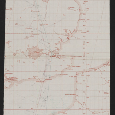
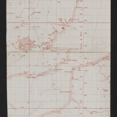
Map showing south east England and Northern France with pencilled route from Lincoln area to Pas de Calais area. Annotated top middle 'Op. No. 30, 31/8/44'. On the reverse 'Op. No. 30 St Riquier, 31/8/44'.

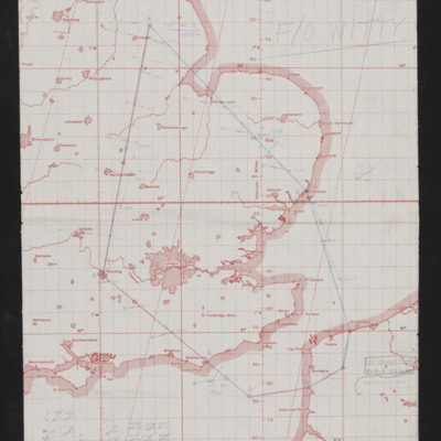
CWittyAR-170323-010116.jpg
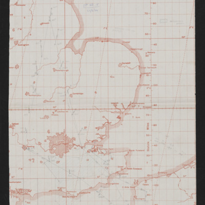
Map showing south east England and Northern France with pencilled route from Lincoln area to Pas De Calais area. Annotated 'Op No. 29, 28/8/44'. On the reverse 'Op No. 29, Fromentel, 28/8/44'.

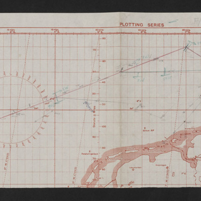
CWittyAR-170323-010110.jpg
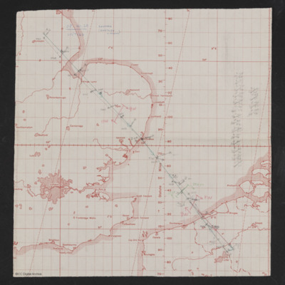
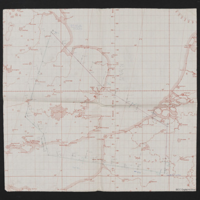
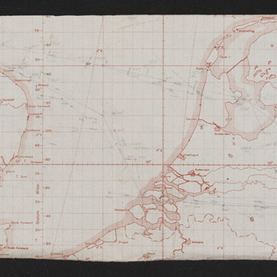
Map showing part of east England, Netherlands and north Germany with pencilled route from Lincoln area to Kiel. Annotated bottom left 'Op No. 28, 26/8/44'. On the reverse 'Op. 28, Kiel 92nd time), 26/8/44'.

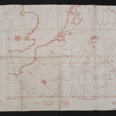
CWittyAR-170323-010105.jpg
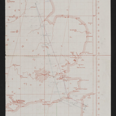
Map showing south east England, France and Germany with route from Lincoln area to a target west of Frankfurt. Annotated top left 'Op No. 27, 25/8/44'.

CWittyAR-170323-010099.jpg
Map showing southern England and northern France with pencilled route from Lincoln area to sea west of La Rochelle. Annotated top right 'Op No. 26, 10/8/44'. On the reverse 'Witty'.

CWittyAR-170323-010093.jpg
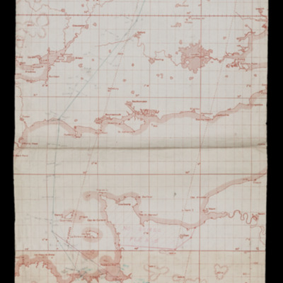
Map showing south east England and northern France with pencilled route from Lincoln area to a target north of Paris. Annotated top left 'Op No. 25, 3/8/44'. On the reverse 'Op 25, (3/8/44), Trossy'.

CWittyAR-170323-010089.jpg
Map of south east England and northern France with pencilled route from Lincoln area to target south of Abbeville. Annotated top middle 'Op. No. 24, 2/8/44'. On the reverse 'Op. No. 24. Les Cateliers'.

CWittyAR-170323-010085.jpg
Map showing south east England and northern France with pencilled route from Lincoln area to Normandy. Annotated top right 'Op. No. 23, 30/7/44'. On the reverse 'Op 23, 30/7/44, Caumont'.

CWittyAR-170323-010080.jpg
Map showing south east England, northern France and west Germany with pencilled route from Lincoln area south of Paris to Stuttgart. Annotated top middle 'F/O Witty, Stuttgart, 24/7/44, 22nd Op'.

CWittyAR-170323-010077.jpg
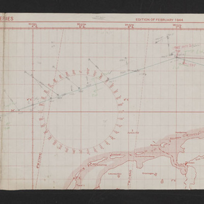
Map showing east England, North Sea and northern Netherlands, Germany and southern Denmark with pencilled route from Lincoln area to Kiel'. Annotated on left 'Op No 21, 23/7/44'.

CWittyAR-170323-010073.jpg
Map showing south east England northern France, Belgium and Netherlands. Pencilled route from Lincoln area to just north of Lille. Annotated top left 'Op No. 20, 20/7/44, Coutrai (Kurtrijk Belgium)'. On the reverse 'Op. No. 20 (20/7/44), Courtrai)'.

CWittyAR-170323-010067.jpg
Map showing south England and northern France with pencilled route from Lincoln area to Tours. Annotated top right 'Op. No. 19 (Tours), 12/7/44'. On the reverse 'Op No. 19 12/7/44, (Tours)'.

CWittyAR-170323-010056.jpg
Map showing southern England and northern France with pencilled route from the Lincoln area to target in Orleans. Annotated top right 'Op No. 17, 3/7/44'.

CWittyAR-170323-010052.jpg
Map showing south east England and northern France with pencilled route from Lincoln area to north west of Amiens. Annotate at top 'Op No 16, 2/7/44'. On the reverse 'Op 16'.

CWittyAR-170323-010049.jpg
Map showing south east England and northern France with pencilled route from Lincoln area to target between Calais and Boulogne. Annotated top 'Op No 15, 22/6/44'.

CWittyAR-170323-010045.jpg
Map showing south east England and northern France/Belgium. Pencilled route from Lincoln area to target in France Southeast of Lille. Annotated top left 'Op No 14, 17/6/44'. On the reverse 'Op No 14, (17/6/44)'.

CWittyAR-170323-010041.jpg
Map showing south east England and northern France with pencilled route from Lincoln area to Boulogne. Annotated top middle 'Op No, 13, (Boulogne), 15/6/44'. On the reverse 'Op 13 Boulogne (2cd daylight)'.

CWittyAR-170323-010038.jpg
Map showing east England and northern France with pencilled route from Lincoln area to Le Havre. Annotated top 'Op No 12, 14/6/44'.

CWittyAR-170323-010034.jpg
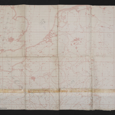
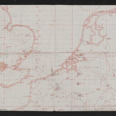
Map shows eastern England to western European mainland (Netherlands, Belgium and Germany). Pencilled route from Lincoln area to the Ruhr region. Annotated top left 'Op No 11, 12/6/44'. On the reverse 'Op 11'.

CWittyAR-170323-010031.jpg
Map showing south east England and northern France with pencilled route from Lincoln area to southern Normandy. Annotated top left 'Op No. 10 Evreux, 11/6/44'.

CWittyAR-170323-010008.jpg
Map of east England to Western European mainland (Belgium, Netherlands, Germany. Route in pencil from Lincolns area to West Germany, Aachen. Annotated top left 'Op No 3, 24/5/44, Aachen'.

PProbynEA17010042.jpg
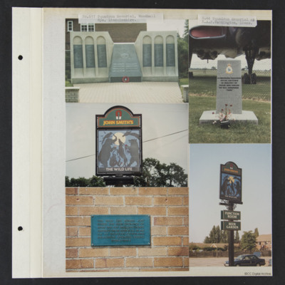
23 photographs from an album.
#1 is 617 squadron memorial at RAF Woodhall Spa.
#2 is 44 squadron memorial at RAF Waddington.
#3 and 4 is a plaque at 'The Wild Life' pub at Skellingthorpe.
#5 is a memorial at East Kirkby.
#6 is a close up of the…

LSnowballMG1595147v1.pdf
M G Snowball’s Flight Engineer’s Flying Log Book covering the period 13 September 1944 to 19 October 1945. Detailing his flying training and operations flown as Flight Engineer. He was stationed at RAF St Athan (4 School of Technical Training),…

POHaraHF16010018.jpg
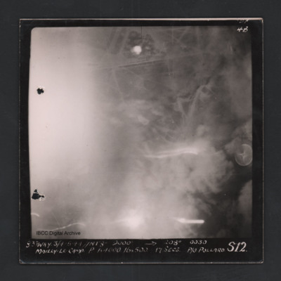
Vertical aerial photograph of Mailly-le-Camp. Street patterns are visible but most of the image is obscured. Captioned ‘4B 4B’ and ‘831 WKY 3/4.5.44 // NT 8” 9000’ [arrow] 208° 0030 Mailly-le-Camp P 1 x 4000 16 x 500 17secs P/O…

POHaraHF16010019.jpg
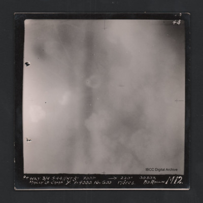
Vertical aerial photograph of Mailly-le-Camp. Most of the image is obscured by clouds and smoke. Captioned ‘4B 4B’ and '841 WKY 3/4.5.44 // NT 8” 7000’ [arrow] 220° 0030 1/2 Mailly-le-Camp Y 1 x 4000 16 x 500 17secs P/O Rollin …
Output Formats

atom, dc-rdf, dcmes-xml, json, omeka-xml, rss2