Browse Items (60 total)
- Tags: 75 Squadron
- Type is exactly "Photograph"
Sort by:
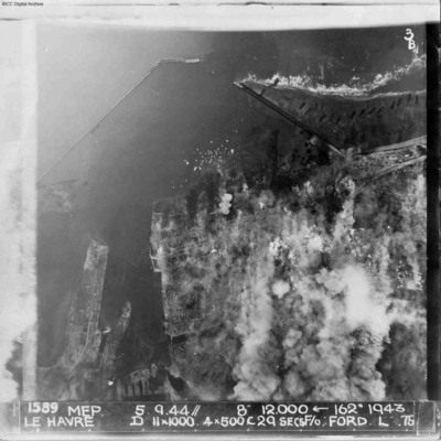
Le Havre
A vertical aerial photograph of Le Havre during bombing operations. The land is mainly obscured by explosions but breakwaters and docks are visible. Digue Augustin Normand is shown at the top of the image, with Bassin de la Manche and Le Havre port…
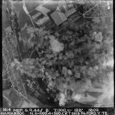
Harqueboc
Vertical aerial photograph of Harqueboc, Le Havre. Street patterns can be seen to the left and top right of the photograph, located north-west of Harfleur. Annotated '1614 MEP 6.9.44// 8” 7,000 [arrow] 128[degrees] 1802 HARQUEBEC. N.11x1000, 4x500…
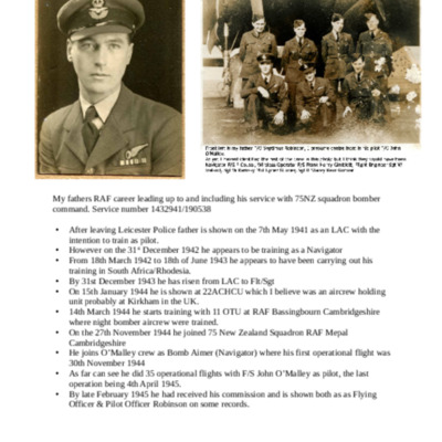
Septimus Robinson service history
A brief history of Septimus Robinson's RAF career.
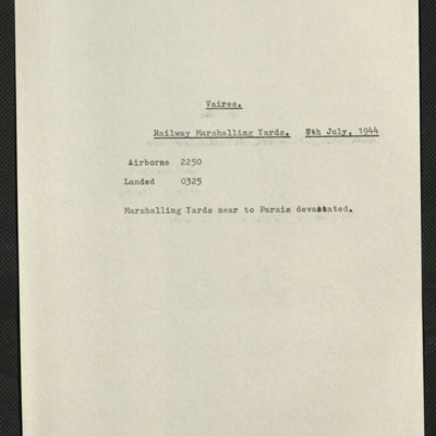
Vaires, Edward King's 22nd operation on his tour
Five items, Edward's brief description of the operation, his navigation plot, the expected H2S return over the target, two press cuttings, one with the caption'Paris/Vaires marshalling yard devastation' showing the Vaires rail yard after the attacks,…
Oberhausen
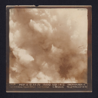
A target photograph of Oberhausen. Cloud or smoke obscures the ground. There are some small smoke trails at centre left.
It is annotated "5B" and captioned: "2445. MEP. 4.12.44 //8 19,600. 109º 1412 OBERHAUSEN,YI 1 HC4000IN. 6ANM 50DT. 6GP500DT.…
It is annotated "5B" and captioned: "2445. MEP. 4.12.44 //8 19,600. 109º 1412 OBERHAUSEN,YI 1 HC4000IN. 6ANM 50DT. 6GP500DT.…
Sigen
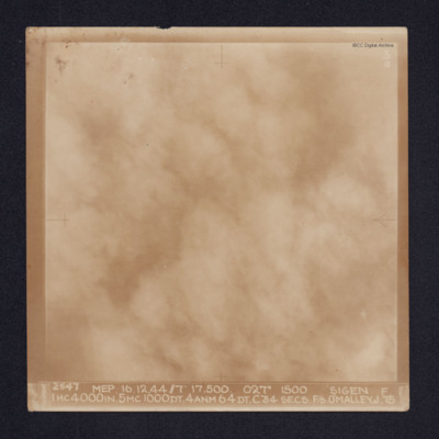
Target photograph of Siegen. Cloud or smoke obscures all ground detail. It is annotated "3B" and captioned: "2547 MEP. 16.12.44//7" 17,500. 027º 1500 SIGEN [sic]. F 1HC4000IN. 5MC1000DT. 4ANM64DT. C34 SECS. F/S O'MALLEY. J.75
Vohwinkel
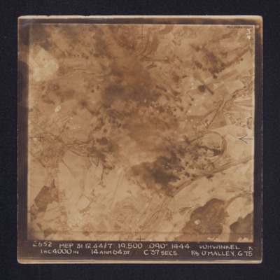
Target photograph of Vohwinkel. In the lower right quadrant rail tracks and sidings are visible, alongside which is a distinctive complex of roads and buildings. The buildings and streets of Gräfrath can be seen at the centre left of the image while…
Vohwinkel
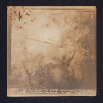
Target photograph of Vohwinkel. Smoke and glare obscures most of the ground and only the vague outlines of some ground features are visible.
It is annotated: "5B" and captioned: "2659 MEP 1/2.1.45//NT(C)7' 19,500. 360º 1944 VOHWINKEL K 1HC4000IN.…
It is annotated: "5B" and captioned: "2659 MEP 1/2.1.45//NT(C)7' 19,500. 360º 1944 VOHWINKEL K 1HC4000IN.…
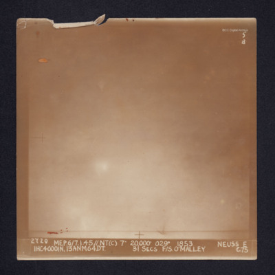
Neuss
Target photograph of Neuss. Glare and cloud obscures all ground detail. It is annotated "5B" and captioned: "2720 MEP.6/7.1.45//NT(C) 7" 20,000' 029º 1853. NEUSS E 1HC4000IN, 13ANM64DT. 31 SECS. F/S. O'MALLEY C.75".
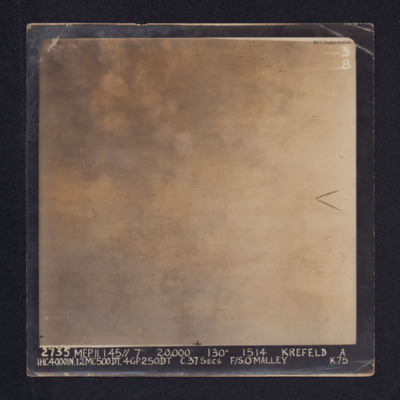
Krefeld
Target photograph of Krefeld. Cloud, smoke and glare obscures all ground detail.
It is annotated: "3B" and captioned: "2735 MEP. 11.1.45//7" 20,000' 130º 1514 KREFELD A 1HC4000IN, 12MC500DT, 4GP250DT. C.37SECS F/S O'MALLEY K.75.".
Also a…
It is annotated: "3B" and captioned: "2735 MEP. 11.1.45//7" 20,000' 130º 1514 KREFELD A 1HC4000IN, 12MC500DT, 4GP250DT. C.37SECS F/S O'MALLEY K.75.".
Also a…
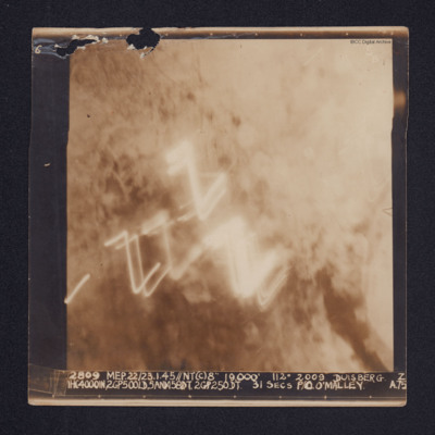
Duisberg
A target photograph of Duisburg. Cloud or smoke obscures the ground and there are several light trails in the centre of the photograph.
It is annotated "5B" and captioned: "2809 MEP. 22/23.1.45//NT(C)8" 19,000' 112º 2009 DUISBERG [sic]. Z…
It is annotated "5B" and captioned: "2809 MEP. 22/23.1.45//NT(C)8" 19,000' 112º 2009 DUISBERG [sic]. Z…
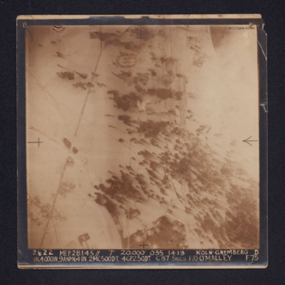
Koln-Gremberg
A target photograph of snow covered Koln-Gremberg. In the upper, right quadrant are some marshalling yards and the River Rhine, partially obscured by cloud. In the upper and lower left quadrants is a main railway line. At upper centre is an area of…
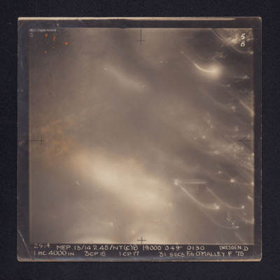
Dresden
Target photograph of Dresden. No ground details are visible but the glare from fires on the ground are visible through the smoke. There are some bright spots and trails of light on the right. It is annotated "5B" and captioned: "2914. MEP.…
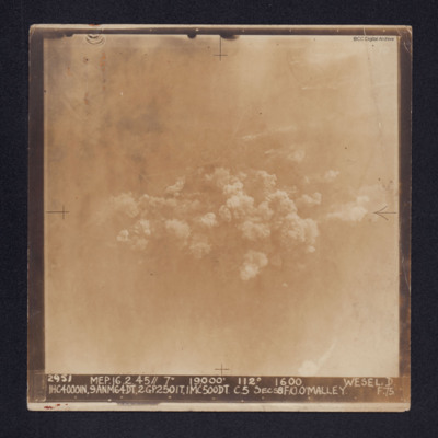
Wesel
Target photograph of Wesel. Some roads and railway tracks can be seen in the upper half while at the centre there are several plumes of smoke. The whole area is covered by thin cloud.
It is captioned: "2952 MEP. 16.2.45//7" 19,000' 112º 1600 WESEL.…
It is captioned: "2952 MEP. 16.2.45//7" 19,000' 112º 1600 WESEL.…
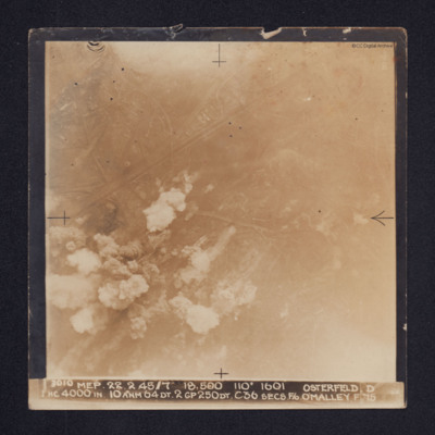
Osterfeld
Target photograph of Osterfeld (Oberhausen-Sterkrade). Roads and buildings are visible as are the Rhine-Herne Canal and railway running from centre left to upper right. Smoke can be seen in the lower left quadrant of the image and there is some glare…
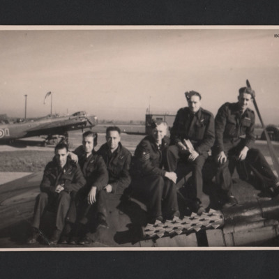
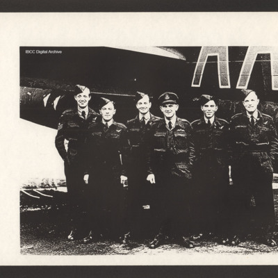
Des Horgan and crew on a Stirling
Warrant Officer Des Horgan Royal New Zealand Air Force, far right, and crew sitting on an aircraft engine. Third from left is rear gunner, Flight Sergeant Iwikau Te Aika Royal New Zealand Air Force. Behind is a Stirling 'AA-Q' and airfield…
Tags: 75 Squadron; air gunner; aircrew; Māori; pilot; Stirling
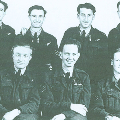
Arthur Long's crew
Seven airmen in two rows.
Back row, left to right: Frank Benger, mid-upper gunner; Jim Neal, flight engineer; Jack Pollard, wireless operator; Arthur Long, navigator. Front, left to right: Alec Bishop, rear gunner; Harry Tweed, pilot; Alan Johns,…
Back row, left to right: Frank Benger, mid-upper gunner; Jim Neal, flight engineer; Jack Pollard, wireless operator; Arthur Long, navigator. Front, left to right: Alec Bishop, rear gunner; Harry Tweed, pilot; Alan Johns,…
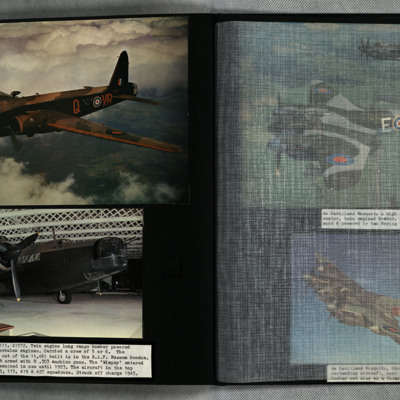
Wellington III
Photo 1 is a Wellington, VR-Q Z1572, in flight.
Photo 2 is a view of the starboard nose of a Wellington. The hangar roof is also geodetic construction.
Photo 2 is a view of the starboard nose of a Wellington. The hangar roof is also geodetic construction.
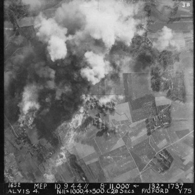
Alvis 4 target area
Vertical aerial photograph of Alvis, at Montvilliers, Le Havre. The centre section of the image is obscured by explosions. Annotated '1652 MEP 10/13.9.44// 8” 11,000 [arrow] 132[degrees] 1737 ALVIS 4. N.11x1000, 4x500 C.28 SECS. F/O FORD. Y.75'.
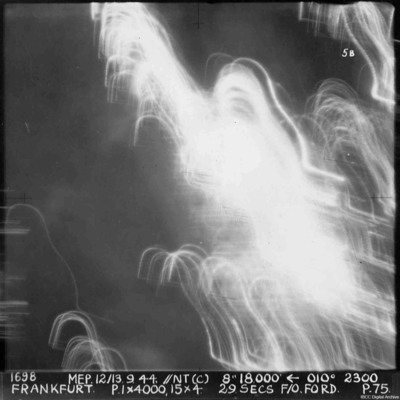
Frankfurt
A vertical aerial photograph of Frankfurt. The image was taken at night and half is obscured by anti-aircraft fire. Almost nothing can be seen on the ground. annotated '1698 MEP 12/13.9.44// NT (C) 8” 18,500 [arrow] 010[degrees] 2300. FRANKFURT. P…
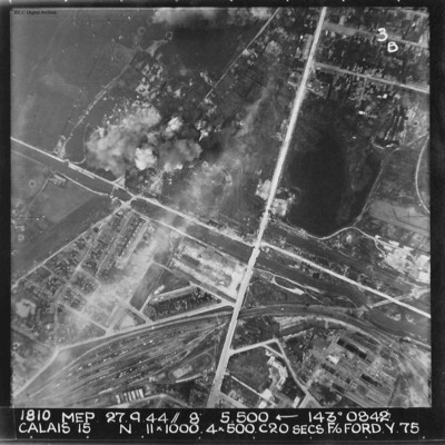
Calais
A vertical aerial photograph of Calais. The canal, Canal des Pierrettes, is visible and runs left to right, parallel to Rue Hoche and a marshalling yard. The yard services Les Fontinettes train station. Annotated '1810 MEP 27.9.44// 8” 5,500…
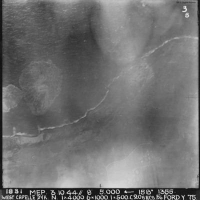
West Capelle Dyk N
A vertical aerial photograph of the Westkapelle Dyke, Vlissingen. The coastline can be seen but little on the ground. annotated '1831 MEP 3.10.44// 8” 5,000 [arrow] 158[degrees] 1355. WEST CAPELLE DYK. N. 1 x 4000. 6x1000. 1x500.C 20 SECS. F/O…
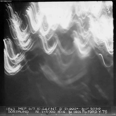
Dortmund
A vertical aerial photograph of Dortmund during an operation at night. No detail on the ground is visible and half the image is obscured by anti-aircraft fire. Annotated '1863 MEP 6/7.10.44// NT. 8” 21,000 [arrow] 310[degrees] 2030 DORTMUND. N. 1…
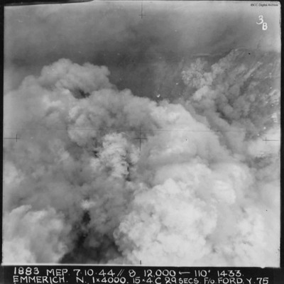
Emmerich
A vertical aerial photograph of Emmerich during an operation.The ground detail is obscured by explosions but the Rhine is visible at the top of the image. Annotated '1883 MEP 7.10.44// 8 12,000 [arrow] 110[degrees] 1433 EMMERICH. N. 1 x 4000. 15x4.C…

