Browse Items (1442 total)
- Tags: aerial photograph
Sort by:
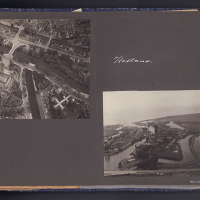
Amsterdam and Muiden
Four photographs, two air to ground, one showing Amsterdam canals near Rijksmuseum, the other near Muiden showing some flooded areas.
The second page has two photographs the first shows a crowd in a city street in Belgium, the second shows five…
The second page has two photographs the first shows a crowd in a city street in Belgium, the second shows five…
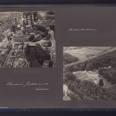
Amsterdam Leidseplein district and Paleis Soestdijk
Two air to ground photographs, the first showing the Leidseplein area in Amsterdam with the Hirschgebouw building. Captioned 'Amsterdam'.
The second showing a large building in open country is captioned 'Princess Juleana [Juliana] Palace'.
The second showing a large building in open country is captioned 'Princess Juleana [Juliana] Palace'.
Tags: aerial photograph
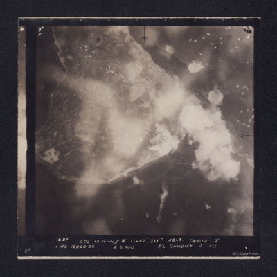
Tirpitz
Target photograph showing shoreline, with smoke obscuring the island of Hakøya within Tromsø fjord. Battleship Tirpitz can be seen just right of centre through smoke. Three water-spouts from earlier explosions above and to the right. Anti-aircraft…
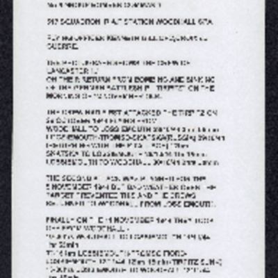
Operations against Tirpitz, Ijmuiden and Bielefeld: Vielesible Viaduct
Description of three (one aborted due to weather) operations against Tirpitz, photograph of crew on return from sinking Tirpitz, poor photocopy of target photograph of attach on Tirpitz. Account of operation on E & R boat pens at Ijmuiden along with…
Bergen-Belsen concentration camp
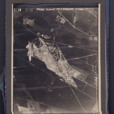
Aerial photograph showing a camp in open country side. Captioned 3110 T4/35 19 Jun 45. F20" // McCulloch.
Identification kindly provided by Kim Roller of the Finding the location WW1 & WW2 Facebook group.
Identification kindly provided by Kim Roller of the Finding the location WW1 & WW2 Facebook group.
Tags: aerial photograph; Holocaust
Bad Oldesloe
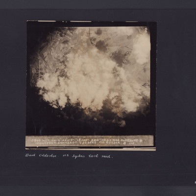
Target photograph showing roads with houses and fields and large amount of smoke in the centre. Captioned '3946 WIT 24.4.45//7" 8000 340 1043, Bad Oldesloe, 10ANM590T.2 ANM64DT.C32 secs F/O Rosser 115'. Underneath 'Bad Oldesloe, 115 Sqdns last raid'.
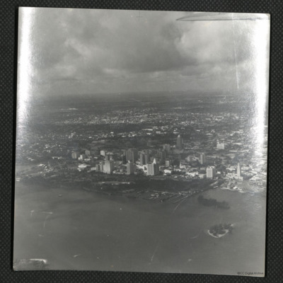
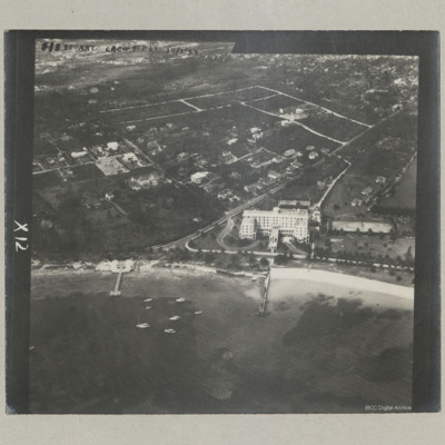
The British Colonial Hotel, Nassau
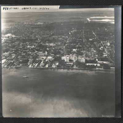
An oblique aerial photograph of the centre of Nassau with the British Colonial Hotel in the centre. It is captioned 'F/S Stuart Crew 9 . C21 . 30/3/44'
Tags: aerial photograph
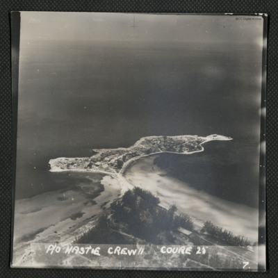
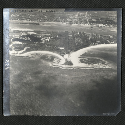
Governor's Harbour - Bahamas
Oblique aerial photograph of small peninsula linked to the land by a narrow strip including a road. On the peninsula are numerous houses. Captioned 'P/O Hastie Crew II Course 25'.
Identification kindly provided by Frank Doerschner of the Finding…
Identification kindly provided by Frank Doerschner of the Finding…
Tags: aerial photograph; training
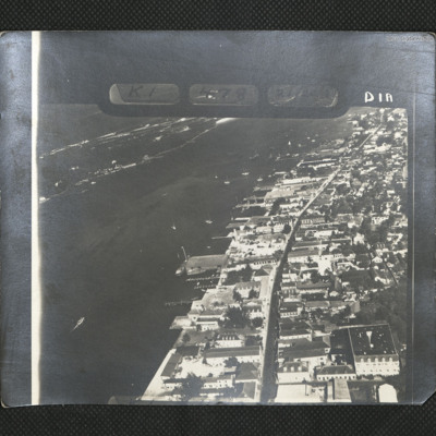
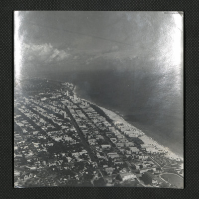
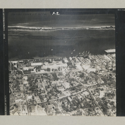
Nassau
An oblique aerial view of Bay Street, downtown Nassau. It is annotated 'K1 478 [indecipherable] DIA'.
Tags: aerial photograph
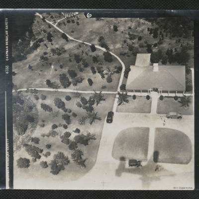
Aerial View of a Bungalow
An oblique aerial photograph of a bungalow surrounded by palm trees. The shadow of a B-25 can be seen in the bottom of the image.
It is captioned '[indecipherable] Crew C19 26/2/44'.
It is captioned '[indecipherable] Crew C19 26/2/44'.
Tags: aerial photograph; B-25
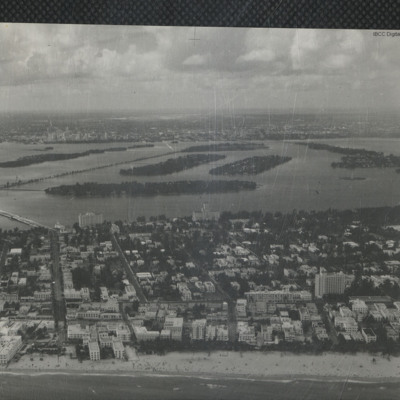
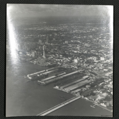
Steamship Docks, Miami
An oblique aerial photograph of the west end of the Venetian Causeway Bridge. The docks were known as the Steamship docks but have now been filled in.
Tags: aerial photograph
Cove Beach, Nassau
An oblique aerial view of a small island to the north of Nassau.
It is annotated 'F/O Stuart Crew 9. C21. 30/3/44'.
It is annotated 'F/O Stuart Crew 9. C21. 30/3/44'.
Tags: aerial photograph
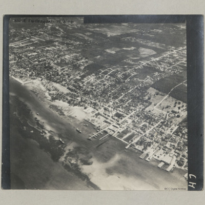
Nassau Harbour and Bay Street
An oblique aerial photograph of Bay Street and harbour at Nassau.
It is annotated 'No 1 Squadron 16/3/44'.
It is annotated 'No 1 Squadron 16/3/44'.
Tags: aerial photograph
Fort Montagu Hotel, Nassau
An oblique aerial photograph of a large hotel, now demolished, at the east end of Nassau close to Fort Montagu.
It is annotated 'F/S Stuart Crew 9 C21 30/3/44'.
It is annotated 'F/S Stuart Crew 9 C21 30/3/44'.
Tags: aerial photograph
The British Colonial Hotel
An oblique aerial photograph of the hotel looking out to sea.
it is annotated 'P/O Craig Crew 4 C19 26/2/44'.
it is annotated 'P/O Craig Crew 4 C19 26/2/44'.
Tags: aerial photograph
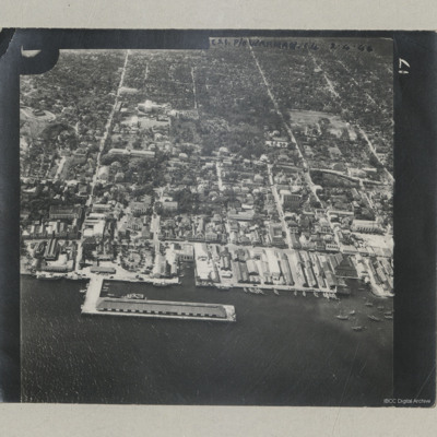
Prince George Wharf
An oblique aerial photograph of a wharf located slightly east of the British Colonial Hotel.
It is annotated 'C21 P/O Warman C4 2.4.44'.
It is annotated 'C21 P/O Warman C4 2.4.44'.
Tags: aerial photograph
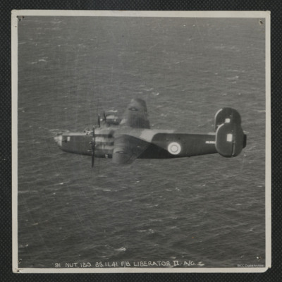
Liberator in Flight
Air-to-air view of the port side of a Liberator flying over the sea. Serial AL553. It is annotated '91 Nut.120.25.11.41. F/8 Liberator II A/G'
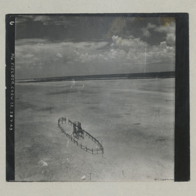
Target decoy ship
Aerial photograph of a target decoy ship made from scaffold poles, situated on a sandy beach. It is annotated 'P/O Fielder. Crew 22. 26.7.43'.
Tags: aerial photograph; training
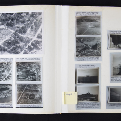
Cook's tour photographs
Left page:
Top - oblique aerial photograph of a bombed city with destroyed buildings.
Middle left - smaller version of enlarged photograph above. Captioned 'Lancaster flight from Skipton-on-Swale on a sight seeing trip over the Ruhr, shells of…
Top - oblique aerial photograph of a bombed city with destroyed buildings.
Middle left - smaller version of enlarged photograph above. Captioned 'Lancaster flight from Skipton-on-Swale on a sight seeing trip over the Ruhr, shells of…
Steamer Point, Aden
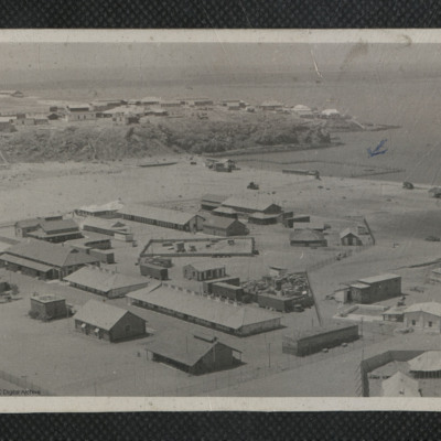
A view of Steamer Point taken from an elevated location. Numerous huts and buildings are visible. A section of the coast has been fenced off and marked in pen with a small arrow. On the reverse 'General view of Aden shore at Steamer Point. Note…
Tags: aerial photograph

