Browse Items (4441 total)
- Tags: bombing
Sort by:
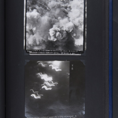
Borovnica railway viaduct
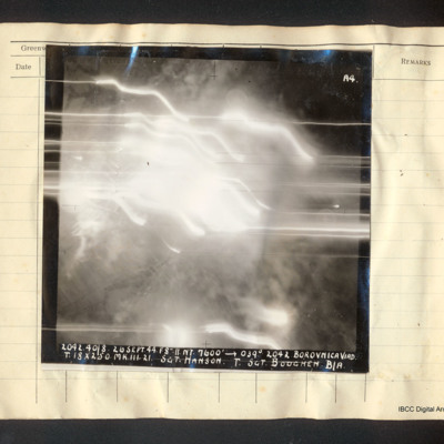
Vertical aerial photograph of the Borovnica railway viaduct. Some fields are visible but the majority of the image is obscured by bright lights, tracer and smoke. Captioned 'A4 2042.40/8 26 Sept. 44.F8".//.NT. 7600' [arrow] 039° 2042 Borovnica Viad.…
Bottrop
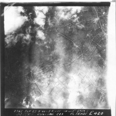
A vertical aerial photograph of Bottrop. The street pattern is clear.
It is captioned '2762 TLP 27.9.44 8" 6000 -->265° 0934.7 Bottrop E (16x500) c 33 F/S Tease E 420'.
It is captioned '2762 TLP 27.9.44 8" 6000 -->265° 0934.7 Bottrop E (16x500) c 33 F/S Tease E 420'.
Bottrop Syn Oil Plant
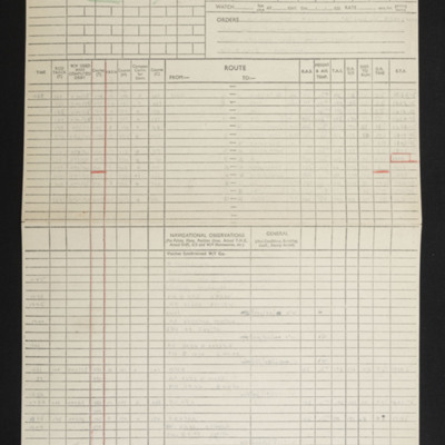
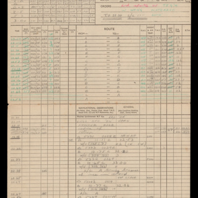
Navigation computation and a chart for an operation to Bottrop synthetic oil plant.
Tags: 514 Squadron; aircrew; bombing; Lancaster; navigator; RAF Waterbeach
Boulogne
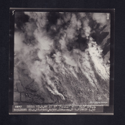
Target photograph of Boulogne. Rural area, smoke and dust obscures much of the photograph, many craters visible. Captioned '8° F', '5B', 2897 SKELL 17.9.44 // 7000' [arrow] 160° 0946 BOULOGNE RD. Z. 11x1000, 4x500. C24secs. F/O FIRMIN G. …
Boulogne
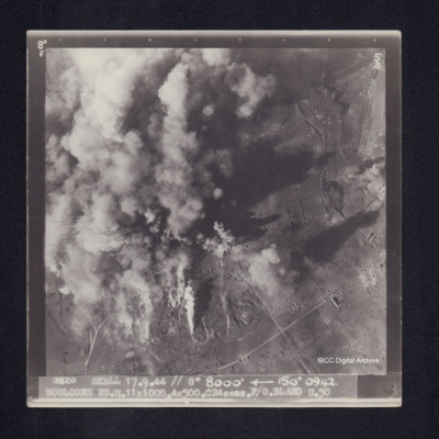
Target photograph of Boulogne. Left side of photograph obscured by smoke and dust, visible area is rural. Many bomb craters. Captioned '8°F', '5B', '2820 SKELL 17.9.44 // 8" 8000' [arrow] 150° 0942. BOULOGNE RD. U. 11X1000. 4X500. C24secs. F/O…
Boulogne
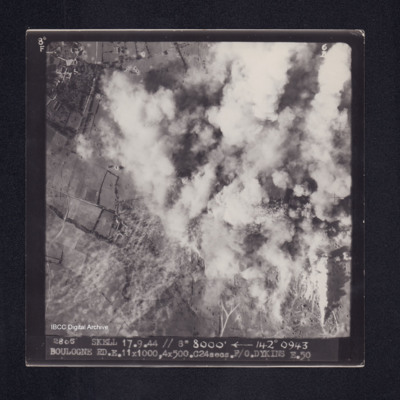
Target photograph of Boulogne. Top right half of photograph obscured by smoke, visible area rural, many craters. Captioned '8°F', '6B', '2805 SKELL 17.9.44 // 8" 8000' [arrow] 142° 0943 BOULOGNE RD. E. 11X1000, 4X500. C24secs. F/O. DYKINS …
Boulogne
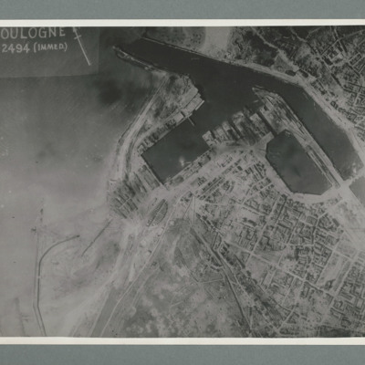
Reconnaissance photograph showing the town to the bottom right with port area in the top right quadrant. Many bomb craters can be seen around the port area. On the reverse 'Date 11.7.44, WS, G108, 51:04/5, photo 178'.
Boulogne
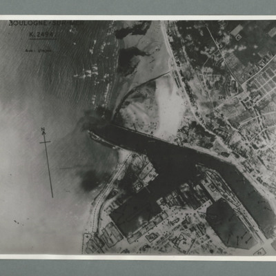
Reconnaissance photograph of the port of Boulogne. Numerous craters can be seen on land above the port entrance and around the dock area on the bottom of the image. Captioned 'Boulogne Sur Mer, K2494, scale 1:10,700'. On the reverse 'Date 11.7.44,…
Boulogne
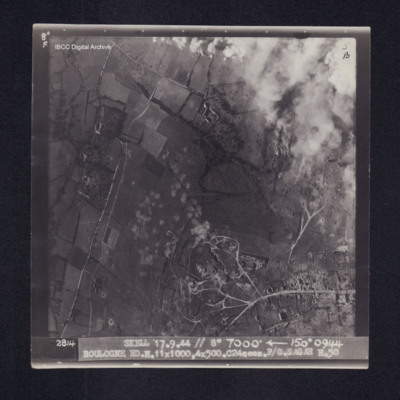
Target photograph of Boulogne. Rural area, top right obscured by smoke and dust from bomb explosions, roads and many bomb craters visible. Captioned '8°F', '5B', '2814 Skell 17.9.44 // 8" 7000' [arrow] 150° 0944 BOULOGNE…
Boulogne marshaling yards
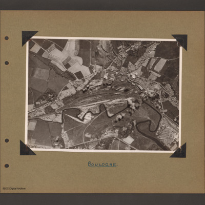
Aerial vertical photograph showing railway running from left to right with a large marshalling yard in the centre. A small river wanders along the bottom of the railway from left to right. Above the marshalling yard are long buildings with possible…
Boy and bomb-site
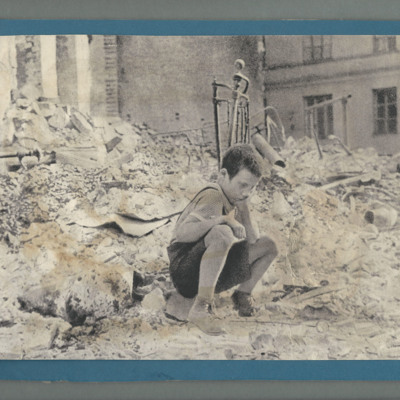
Bomb-site with young man sitting in foreground with his head in his hands.
Tags: bombing; childhood in wartime; home front
Brück
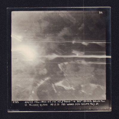
Two copies of a target photographs taken on an operation to Brück. Smoke from explosions and light trails from tracer. Both copies are captioned:
'2723 104/77. 19/20-MAR-45. F8 NT//9000' → 355°. 22.021/2 BRUCK M/YDS.
G. 4x1000. 8x500 Mk III 21.…
'2723 104/77. 19/20-MAR-45. F8 NT//9000' → 355°. 22.021/2 BRUCK M/YDS.
G. 4x1000. 8x500 Mk III 21.…
Braunschweig
Navigation calculations and a chart for operation to Braunschweig.
Tags: 101 Squadron; aircrew; bombing; Lancaster; navigator; RAF Ludford Magna
Bremen
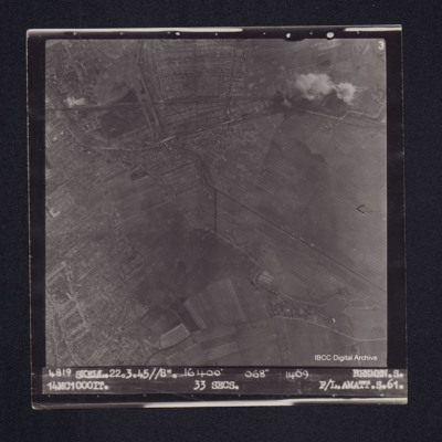
Target photograph of Bremen. Edge of the city visible but mainly open country, bomb craters, a rail line running across, a river or canal, streets and field boundaries all visible. Captioned '3', '4819 SKELL.22.3.45//8". 16400' 068° 1409 BREMEN.S…
Bremen
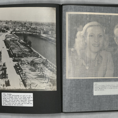
A low level oblique aerial photograph of Bremen showing extensive bomb damage.
Tags: aerial photograph; bombing
Bremen
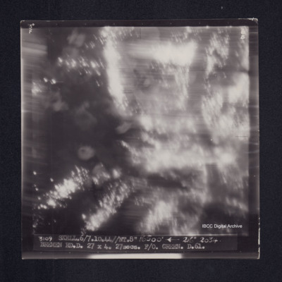
Target photograph of Bremen. Almost completely obscured by light streaks, no detail visible. Captioned '3°F', '6B', '3109 SKELL.6/7.10.44//NT.8" 16500' [arrow] 216° 2034 BREMEN RD.D. 27 X 4. 27secs. F/O. GREEN. D.61.'. On the reverse 'F/O. GREEN.…
Bremen
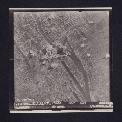
Target photograph of Bremen. Explosions in the middle of the frame obscure the road and railway bridges over the river Weser. The photograph covers a largely built-up area: gas works, Bremen Hauptbahnhof and Bremen Neustadt stations are visible, the…
Bremen
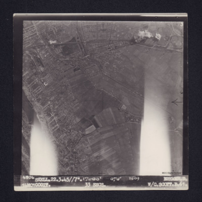
Target photograph of Bremen. Edge of city towards rural area. Explosions at top right, bomb craters below on fields. River on left and gas works top left. Flaring on left and right of the photograph. Captioned ' 4804 SKELL. 22.3.45//7". 17000' 070°…
Bremen
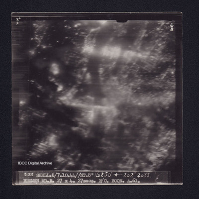
Target photograph of Bremen. No details clearly visible, a small number of light streaks and many pin points of light visible. Captioned '3° F', '6B', '3123 SKELL.6/7.10.44//NT.8" 16250' [arrow] 202° 2033. BREMEN RD.A.27X4.27secs.F/O BOON.A.61.'.…
Bremen
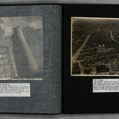
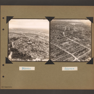
On the left an aerial inclined photograph of a city on the left bank of a river. At the bottom left a park with trees and lakes. To the right of the park a road curves around a large built up area with a twin spire church at its centre. There is a…
Tags: aerial photograph; bombing; Cook’s tour
Bremen
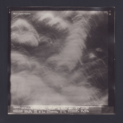
Target photograph of Bremen. Obscured by numerous light streaks. Captioned '3°F', '7B', 3095 SKELL.6/7.10.44//NT.8" 16250' [arrow] 195° 2030 BREMEN RD.F. 21 X 4. 21secs. F/O. NISBET. F.50.'. On the reverse ' [underlined] F/O NISBET 6/7.10.44.…
Bremen
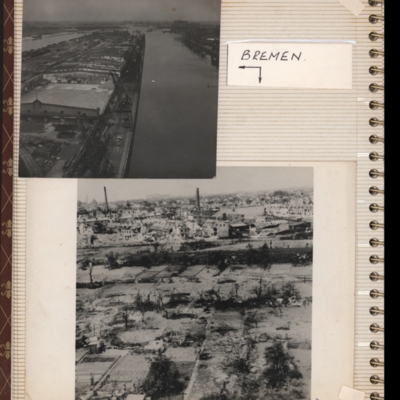
Top - oblique aerial photograph of Bremen port with river Weser to the left running bottom to top with dock to the right. Pier in between has extensive railway sidings to the left, warehouses in the middle are mainly without roofs but cleared of…
Tags: aerial photograph; bombing; Cook’s tour
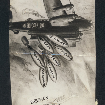
Bremen 4/5 Sept. 1942 50 Squadron
Lancaster dropping bombs annotated with the names of the crew: 'F/O Calvert, F/Sgt Stevens, Sgt Gray, Sgt Branch, Sgt Austin, Sgt Cruickshank, Sgt Connor' on each bomb- captioned 'Bremen 4/5 Sept. 1942 50 Squadron'.
Tags: 50 Squadron; aircrew; bombing
Bremen and Lutzkendorf
Top - target photograph showing smoke from bombs over most of frame and built up area top left. Captioned '3640, L.SGN, 21.3.45 " 8'.16800'103 BREMEN OSLEBHAUSEN Oil Refinery, S, 13MC500DT:4ANM64DT, C34 SECSI. F/O Quine; S: 582'.
Bottom - target…
Bottom - target…

