Browse Items (1442 total)

  • Tags: aerial photograph
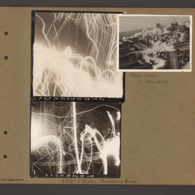
PBanksP15010109.jpg
On the left two aerial vertical photographs showing night anti-aircraft tracer tracks. Top photograph caption 'P Z/7 75 8/9-3-42 NT f/8 TX'. Bottom photograph caption ' A F 75 NT 30/1.10.41 F/8' Page caption 'Night x Flash 70xM candle power'.

To…

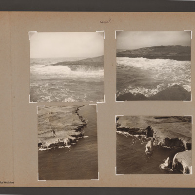
PBanksP15010114.jpg
Top left view of waves breaking on rocky shore.

Top right coastal view of waves breaking against shore at the top. Near shore at the bottom.

Bottom left aerial inclined photograph of shore line with cliffs. Open sea to right and below. Road…

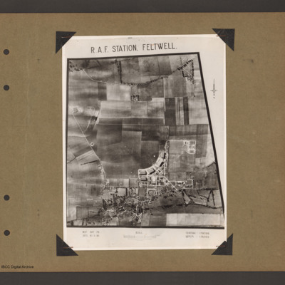
PBanksP15010143.jpg
An aerial vertical photograph of a grass airfield. Airfield is in the centre. A curved line of four hangars are at the bottom of the grass on the right. There is another hangar underneath the left hand of the line and station building are in the…

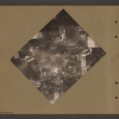
PBanksP15010145.jpg
Aerial vertical photograph of a grass airfield. Pentagonal shaped grass airfield in the centre. Hangars and station buildings in the bottom right corner of airfield. Dispersal at top left and track to off airfield bomb dump on the right of airfield.…

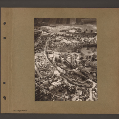
PBanksP15010152.jpg
Aerial inclined photograph of a Ely with cathedral in the centre. Two parallel roads curve from bottom right round the church to top left. Buildings lie between the roads and above the church. At the top open countryside.

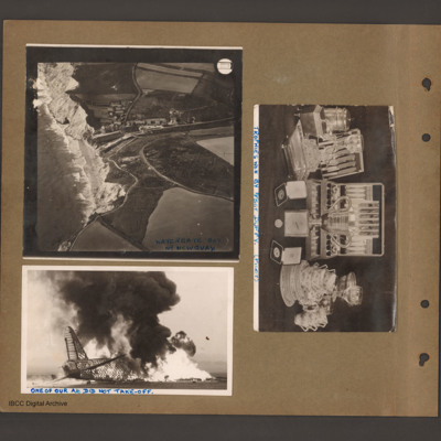
PBanksP15010153.jpg
Top left an aerial incline photograph of cliffs and beach. On the left side cliffs and beach border the sea. In the centre a small village in a valley leading down to the beach. To the right open farmland. Caption 'Watergate Bay Nr…

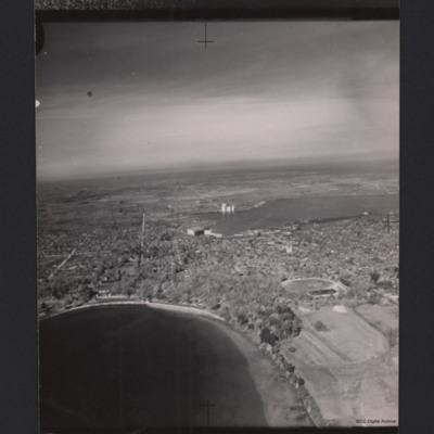
PCushwayAW16040001.jpg
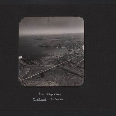
A high oblique aerial photograph of Midland, Ontario with many trees. In the foreground is a lake and in the middle a second lake. There is a large building at the edge of the middle lake and an area of docks. There are also grain silos. In the…
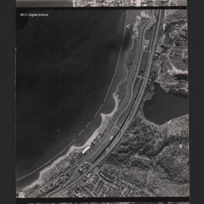
PCushwayAW16040002.jpg
A vertical aerial photograph of a town at the edge of a bay. Parallel with the bay there is the Gardiner expressway and railway. In the bay are u-shaped structures. At the bottom there are between the road and the coast are holiday structures and the…
PCushwayAW16040003.jpg
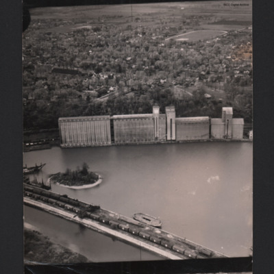
A low oblique aerial photograph of Goderich grain silos. In the foreground are railway sidings with freight wagons. The sidings extend behind the grain silos. There is a harbour area with a small island between the first sidings and the silos. In…
PCushwayAW16040004.jpg
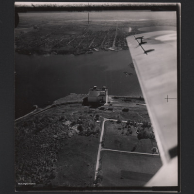
A low angle oblique aerial photograph of Midland grain elevator on the edge of Georgian Bay. It has a railway line with freight wagons. In the distance and on the other side of a coastal inlet are docks and Midland. Part of the view is obscured by an…
PCushwayAW16040005.jpg
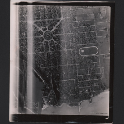
Vertical aerial photograph of Goderich, Ontario. The central feature is a building and wood with a circular road, from this other roads radiate like spokes. Other roads form a grid like pattern. There are many trees. At the bottom is a port area and…
PCushwayAW16040006.jpg
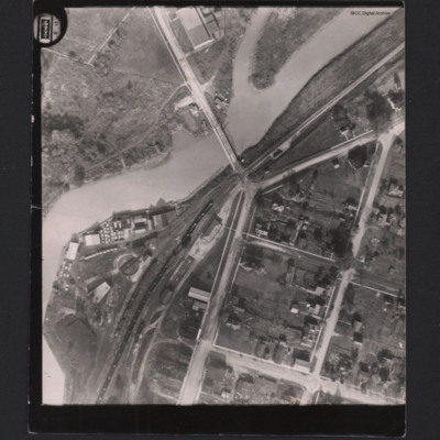
A vertical aerial photograph centred on the Big Otter Creek bridge. In the bottom left is an industrial area with railway sidings and an engine turntable. There are docks with one small ship.
In the corner is 'P 8' and a counter reading '01220', the…

PCushwayAW16040007.jpg
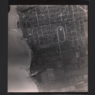
The edge of Goderich, Ontario with a sports ground. On the left is the coast line. The town is very regular, being in the form of a grid. At the top is an industrial area.

PCushwayAW16040008.jpg
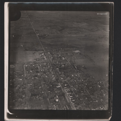
A low angle oblique aerial photograph of the edge of a town. There is a central road leading in a straight line. The other roads form a grid pattern.

PCushwayAW16010014.jpg
High angle aerial oblique photograph of Midland Ontario. It is on the lakeside and on the left can be seen grain elevators. In the middle and right an industrial area with a large building and docks. Behind this is an urban area.

PCushwayAW16010015.jpg
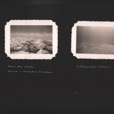
The first photograph is an aerial photograph looking at cirrus and convection cumulous clouds. Captioned ' Above the clouds. Cirrus & Convection Cumulous'. The second is a low angle aerial photograph of Collingwood, Ontario. The town and its docks…

PCushwayAW16010024.jpg
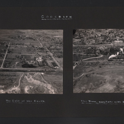
The first photograph is a low oblique aerial view of a quarry and industrial buildings. In the foreground is a railway siding with freight trucks. In the background are houses. Captioned 'The Salt of the Earth'. The second photograph has a steam…

PCushwayAW16010025.jpg
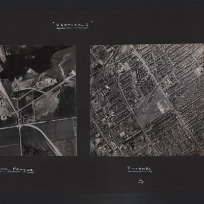
The vertical aerial photograph is of a dam under construction. It is largely completed but the reservoir has not formed behind the dam. Captioned 'The Dam, Fergus'. The second is a vertical aerial photograph of Toronto. The street pattern is a grid…

PBanksP15020043.jpg
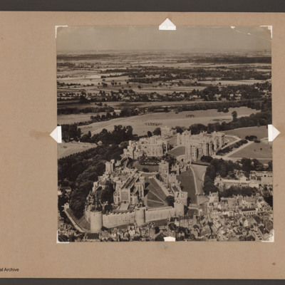
An oblique aerial photograph of Windsor Castle,

PBanksP15020044.jpg
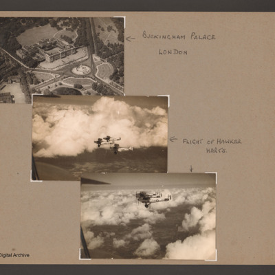
An aerial oblique photograph of Buckingham Palace showing the front and the Victoria Memorial. Captioned 'Buckingham Palace, London'.
The second and third photographs are of three Royal Air Force Hawker Harts flying above broken clouds. Captioned…

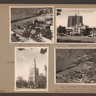
PBanksP15020095.jpg
Photograph 1 is an oblique aerial photograph of the cathedral, captioned '(Air) St Andrews Cathedral'.
Photograph 2 is a ground view of the cathedral, captioned '(Ground)'
Photograph 3 is the cinema, captioned 'Cathay Cinema see 16 top tight from…

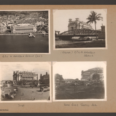
PBanksP15020096.jpg
Photograph 1 is an oblique aerial photograph of a large building, captioned 'G.P.O. & Anderson bridge (air)'
Photograph 2 and 3 are ground views of the building captioned '(Ground) GPO & Anderson bridge'
Photograph 4 is the GPO building with boats…

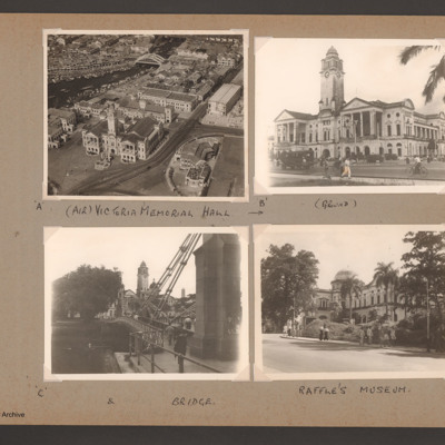
PBanksP15020097.jpg
Photograph 1 is the Victoria Memorial Hall from the air, captioned '(Air) Victoria Memorial Hall'
Photograph 2 is the Hall from the ground, captioned '(ground)'.
Photograph 3 is the Hall and a bridge, captioned '& bridge'.
Photograph 4 is a…

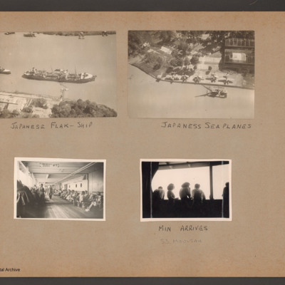
PBanksP15020120.jpg
Photograph 1 is an aerial view of a ship captioned 'Japanese flak-ship'.
Photograph 2 is a dockside with a Loire 130 and several Aichi E13A seaplanes and a floating crane. Captioned 'Japanese sea planes'.
Photograph 3 and 4 are deck views of…

PBanksP15020130.jpg
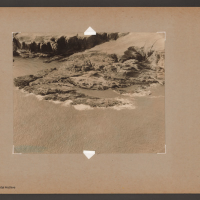
Oblique aerial photograph of a rocky headland near Wick.

Identification kindly provided by Andy Macdonald and Geoff Everitt of the Unidentified photos of the British Isles Group.
Output Formats

atom, dc-rdf, dcmes-xml, json, omeka-xml, rss2