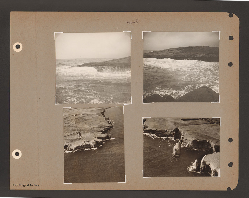
Coastline near Wick
Title
Coastline near Wick
Wick?
Description
Top left view of waves breaking on rocky shore.
Top right coastal view of waves breaking against shore at the top. Near shore at the bottom.
Bottom left aerial inclined photograph of shore line with cliffs. Open sea to right and below. Road leads up from promontory to Noss Head lighthouse and the ruins of castle Sinclair at the top.
Bottom right aerial inclined photograph of cliffs running from top left to bottom right with sea to the left.
Captioned 'Wick?'.
Type
Format
Four b/w photographs mounted on an album page
Conforms To
Publisher
Rights
This content is available under a CC BY-NC 4.0 International license (Creative Commons Attribution-NonCommercial 4.0). It has been published ‘as is’ and may contain inaccuracies or culturally inappropriate references that do not necessarily reflect the official policy or position of the University of Lincoln or the International Bomber Command Centre. For more information, visit https://creativecommons.org/licenses/by-nc/4.0/ and https://ibccdigitalarchive.lincoln.ac.uk/omeka/legal.
Identifier
PBanksP15010114
Collection
Citation
“Coastline near Wick,” IBCC Digital Archive, accessed July 8, 2024, https://ibccdigitalarchive.lincoln.ac.uk/omeka/collections/document/1584.
Item Relations
This item has no relations.

