Browse Items (754 total)
- Tags: target photograph
Sort by:
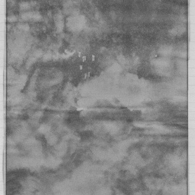
Newspaper cutting - the death throes of a city
Target photographs with clouds and smoke with falling bombs in centre. Text below describes twin attacks on Duisburg which ended the life of Germany's greatest inland port.
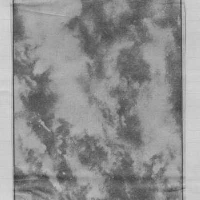
Newspaper cutting - this was Duisburg
Target photograph of a city visible through breaks in cloud and smoke. Captioned 'vast smoke cloud trails away with wind from blazing Duisburg during the RAFs 10000 - ton week-end assault'.
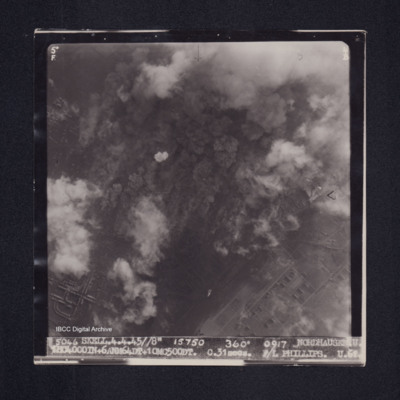
Nordhausen
Target photograph of Nordhausen. Substantially obscured by smoke, dust and cloud. Where visible, streets and buildings appear to be mainly industrial. Captioned '5°F', '4B', '5046 SKELL.4.4.45//8" 15750 360° 0917 NORDHAUSEN.U .…
Nordstern
The three navigation sheets give details of the planned routes out and back as well as observations and events during the operation. The map plots the routes to be flown.
Note from the Navigation Officer 'Satisfactory. Why not use 40[degree] method…
Note from the Navigation Officer 'Satisfactory. Why not use 40[degree] method…
Norman Powell's Operations
A 6 page collection of target photographs and sortie reports.
Page 1: Sortie report for an operation to Bruck Marshalling yards
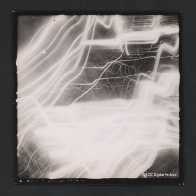
Page 2:Vertical aerial target photograph of an unknown location showing some ground detail as tracer trails. Not all…
Page 1: Sortie report for an operation to Bruck Marshalling yards
Page 2:Vertical aerial target photograph of an unknown location showing some ground detail as tracer trails. Not all…
Norman Powell's Operations
A thirteen page collection of target photographs and sortie reports.
Page 1: Vertical aerial target photograph of Argenta. Some roads, houses and open fields are visible in the upper half of the image. There are also canals, rail tracks or roads…
Page 1: Vertical aerial target photograph of Argenta. Some roads, houses and open fields are visible in the upper half of the image. There are also canals, rail tracks or roads…
Novi Pazar roads
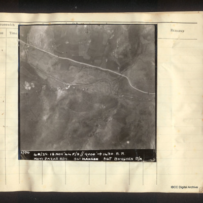
Vertical aerial photograph of a road and a river, some small explosions in the centre. Captioned '2356 40/29. 18.Nov'44 F/8//9000' [arrow] 1430. R.R. Novi Pazar Rds Sgt Hanson Sgt Boughen B/A'.
Noyelle-en-Chaussée
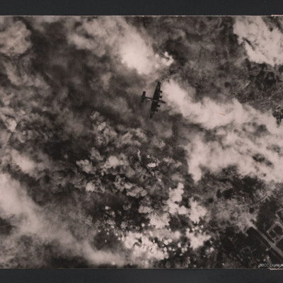
Target photograph showing bomb explosions and smoke. Just above the centre a Halifax flying below from left to right. Parts of town are visible on the right. On the reverse 'Over Noyelle-en-Chaussée 24 June 1944, Handley Page Halifax III, British…
Nuremberg
A vertical aerial photograph captioned 'Nurnberg'. No detail is visible, much of the image is blotted out by anti-aircraft fire. Full caption '3520.KRN.16/17-3-45//NT8"17500 090 2[.] [..] NURNBERG. K. 1 HC.4000 IN. 15X4 28 SECS. F/O BONSALL…
Nuremberg
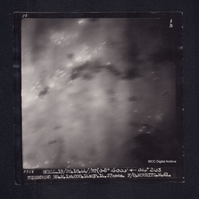
Target photograph of Nuremberg. Obscured by haze and light streaks. Captioned '3°F', '8B', '3328 SKELL.19/20.10.44//NT(C-8" 16000' [arrow] 014° 2103 NUREMBERG RD.M.1X4000.14XCP.14.27secs. F/O.MOURITZ.M.61.'. On the reverse F/O MOURITZ. NURNBERG.…
Nurnberg
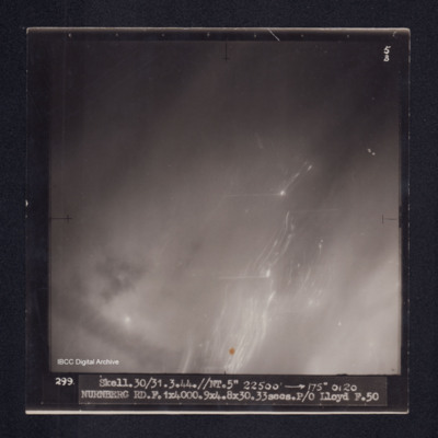
Target photograph of Nuremberg. No detail visible, obscured by smoke or haze, diagonal light streaks. Captioned '5B', 299. SKELL.30/31.3.44.//NT.5" 22500' [arrow] 175° 0120 NURNBERG RD.F.1X4000.9X4.8X30. 33secs.P/O Lloyd F.50'.
Nurnberg
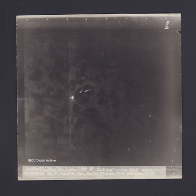
Target photograph of Nuremberg. Rural area, no detail visible. Small light streaks. Captioned '5D', '288 Skell.30./31.3.44.//NT 8" 21000' 248° 0022 NURNBERG RD.V.1X4000.9X4.8X30.33secs.P/O Dobson.V.50'. On reverse '41/2 S OSTENDE'.
Nurnberg
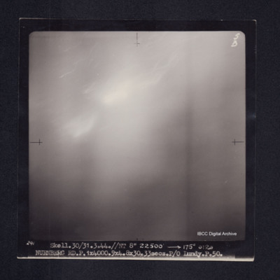
Target photograph of Nuremberg. No details visible, obscured by smoke or haze. Captioned '5B','291 Skell.30/31.3.44.//NT 8" 22500' [arrow] 175° 0120 NURNBERG RD.P.1X4000.9X4.8X30.33secs.P/O Lundy.P.50.'.
Nurnberg
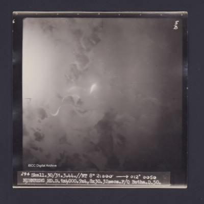
Target photograph of Nuremberg. Almost totally obscured by smoke and dust, some light streaks. No detail visible. Captioned '5B', '294 Skell.30/31.3.44.//NT 8" 21000' [arrow] 012° 0050 NURNBERG RD.D.1X4000.9X4.8X30.32secs.F/O BOTHA.D.50.' Reverse…
Nurnburg
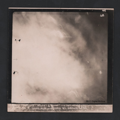
Vertical aerial photograph of Nuremberg. The image is totally obscured by cloud or fires and anti-aircraft fire. Captioned ‘4B 4B’ and ‘[indecipherable] WKY 30/31-3-44 //NT 8” 22000 [arrow] 175° 01.15 Nurnburg Z 1 x 4000 16x30 31…
Oberhausen
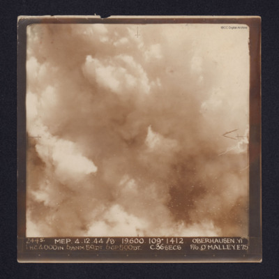
A target photograph of Oberhausen. Cloud or smoke obscures the ground. There are some small smoke trails at centre left.
It is annotated "5B" and captioned: "2445. MEP. 4.12.44 //8 19,600. 109º 1412 OBERHAUSEN,YI 1 HC4000IN. 6ANM 50DT. 6GP500DT.…
It is annotated "5B" and captioned: "2445. MEP. 4.12.44 //8 19,600. 109º 1412 OBERHAUSEN,YI 1 HC4000IN. 6ANM 50DT. 6GP500DT.…
Obscured target
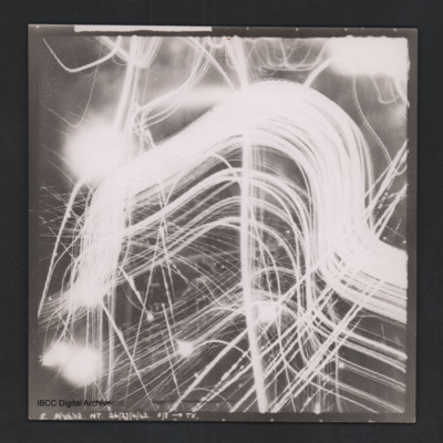
Vertical aerial photograph of unnamed location. No detail is visible, it is obscured by clouds, smoke and anti-aircraft fire. At the bottom it is captioned ‘B O (X7) 12 NT 29/30/4/42 F/8” [arrow] TX’.
Obscured target
Vertical aerial photograph of unidentified location. Details are obscured by anti-aircraft fire. Captioned ‘5. P(X6) 12 NT 26/27/4/42 F/8” [arrow] TX’.
Obscured target
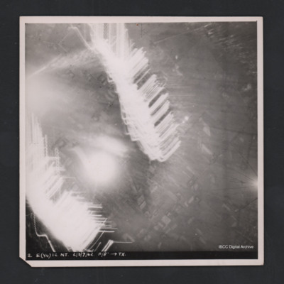
Vertical aerial photograph of unidentified location. Most detail is obscured by anti-aircraft fire. Some roads and fields can be made out. Captioned ‘2. E(Y4) 12 NT 2/3/7/42 F/8” [arrow] TX’.
Oostkapelle
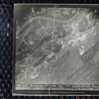
A vertical aerial photograph of Oostkapelle. Much detail is visible on the ground. It is captioned '2441 LCF 28-10-44//7" 4000 104 1149 Oostkapelle W19.Z. 1 HC 2000 In.7 ANM59DN. 4 MC 500DT. C24 secs. P/O Goodrum Z640'.
Operations against Tirpitz, Ijmuiden and Bielefeld: Vielesible Viaduct
Description of three (one aborted due to weather) operations against Tirpitz, photograph of crew on return from sinking Tirpitz, poor photocopy of target photograph of attach on Tirpitz. Account of operation on E & R boat pens at Ijmuiden along with…
Orleans
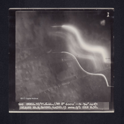
Target photograph of Orleans. Partially obscured by smoke and light streaks. Captioned '9B', '905 SKELL.10/11.6.44.//NT 8" 6000' [arrow] 190° 0047. ORLEANS RD.M.2X1000.14X500.15 secs.S/L COLE M.50.' On the reverse 'ORLEANS. S/L COLE 10/11.6.44'.…
Orleans
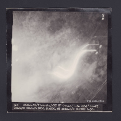
Target photograph of Orleans. Almost completely obscured by smoke, dust and light streaks. No detail visible. Captioned '7B', '912 SKELL.10/11.6.44.//NT 8" 7500' [arrow] 226° 0042. ORLEANS RD.L.2X1000.14X500.18 secs.P/O OLIVER L.50.'. 'On the…
Orvieto Marshalling Yards
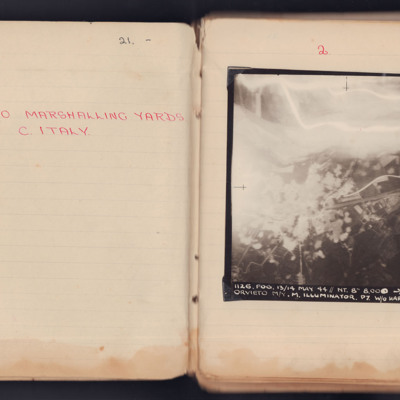
A vertical aerial photograph taken during an operation at Orvieto. The left and top are obscured by explosions and anti-aircraft flashes.
It is captioned '1126. Fog. 13/14 May 44 // NT. 8" 8.000-> 160° 23.18 1/2 Orvieto M/Y M. Illuminator. P7 W/O…
It is captioned '1126. Fog. 13/14 May 44 // NT. 8" 8.000-> 160° 23.18 1/2 Orvieto M/Y M. Illuminator. P7 W/O…
Orvieto Roads
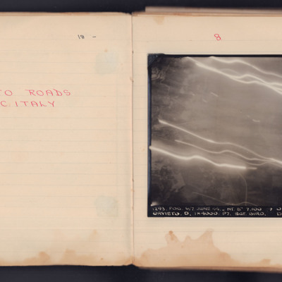
A vertical aerial photograph taken during an operation. Much of the detail in the middle and top is obscured by light flashes.
It is captioned '1293. Fog.6/7 June 44. // NT 8" 7,100' -> 030°0139 Orvieto. D. 1x4000. P7. Sgt Bird. D. 104'.
It is captioned '1293. Fog.6/7 June 44. // NT 8" 7,100' -> 030°0139 Orvieto. D. 1x4000. P7. Sgt Bird. D. 104'.

![E[Author]LPowellNI920207.pdf E[Author]LPowellNI920207.pdf](https://ibccdigitalarchive.lincoln.ac.uk/omeka/files/square_thumbnails/1697/39547/E[Author]LPowellNI920207.jpg)
