Browse Items (61 total)
- Collection: Toombs, George
Sort by:
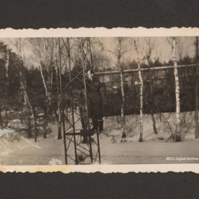
Sergeant climbing a mast in the snow
An airman is part way up a tall mast. Behind the ground is snow covered and there are silver birch trees and a building.
Tags: aircrew
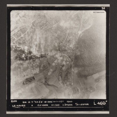
Le Havre
Vertical aerial photograph of Le Havre. There are large numbers of bomb craters and smoke and explosions. Captioned '6106 BIN 10-9-44 //8 10000' [arrow] 115° 1840 Le Havre X 13x1000 4x500 c 24 secs F/O Lester L 460'.
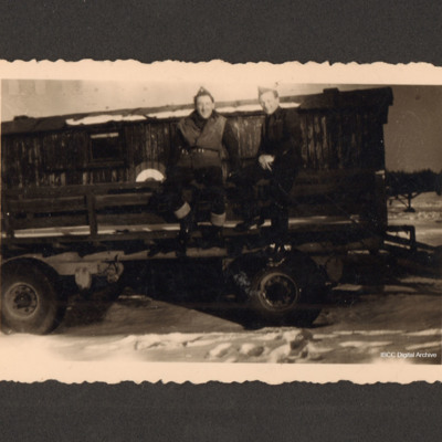
Two airmen sitting on a trailer
One ground crew and one aircrew sitting on the side of a trailer. Behind is a second, enclosed trailer with a Royal Air Force roundel.
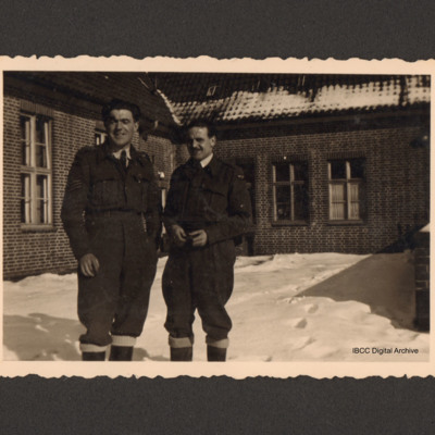
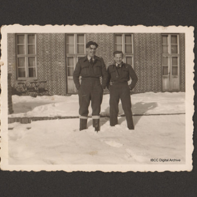
Two airmen in the snow
Two airmen in uniform standing in the snow. One is wearing flying boots. Behind is a brick building.
Tags: aircrew
Emmerich
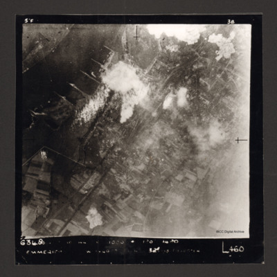
Vertical aerial photograph of Emmerich. The Rhine is at the top left. Some smoke and explosions are visible next to the Rhine River.
Captioned '6348 [undecipherable] 1000 [undecipherable] Emmerich [undecipherable] L460'.
Captioned '6348 [undecipherable] 1000 [undecipherable] Emmerich [undecipherable] L460'.
Le Havre docks
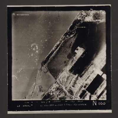
Vertical aerial photograph of Le Havre showing end of breakwater around dock area. Numerous bomb craters visible throughout together with damaged or destroyed dockside buildings. Warship in dock lower right. Rectangular structure to top left of…
Le Havre
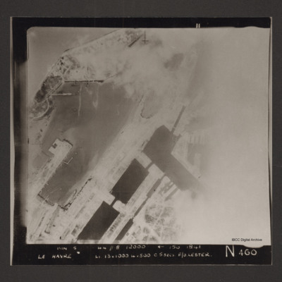
Vertical aerial photograph of the dock area at Le Havre. The right side of the image is obscured by cloud or smoke. Captioned 'BIN 5-8-44 //8 12000' [arrow] 150 1841 Le Havre Li 13x1000 4x500 c5secs F/O Lester N 460'.
Le Havre
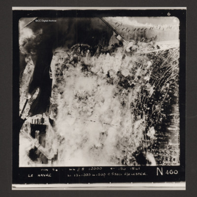
Vertical aerial photograph of Le Havre. Much of the centre of the photograph is obscured by explosions and smoke.
Captioned 'Captioned 'BIN 5-8-44 //8 12000' [arrow] 150 1841 Le Havre Li 13x1000 4x500 c5secs F/O Lester N 460'.
Captioned 'Captioned 'BIN 5-8-44 //8 12000' [arrow] 150 1841 Le Havre Li 13x1000 4x500 c5secs F/O Lester N 460'.
Le Havre
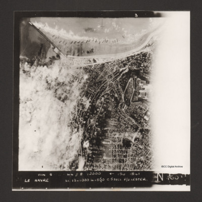
Vertical aerial photograph of Le Havre. The left side of the image (the port area) is obscured by bomb explosions. Several ships are aground on the beach. Captioned 'BIN 5-8-44 //8 12000' [arrow] 150 1841 Le Havre Li 13x1000 4x500 c5secs F/O Lester N…
Calais
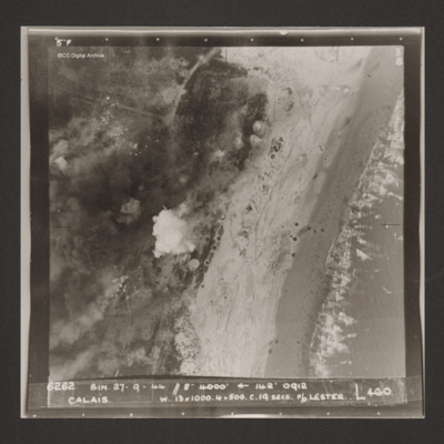
Vertical aerial photograph of Calais. Craters and bomb explosions are visible but no detail apart from a road junction and the coastline. 'Captioned '6262 BIN 27-9-44 //8 4000' [arrow] 142° 0912 Calais w. 13x1000. 4x500 c.19 secs. F/O Lester N 460'.
Sangatte
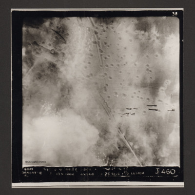
Vertical aerial photograph of Sangatte. A road and trenches run from top to bottom and there are many bomb craters. A stick of bombs can be seen falling from the aircraft. Captioned '6201 BIN [undecipherable] 9-44 //8 /500'
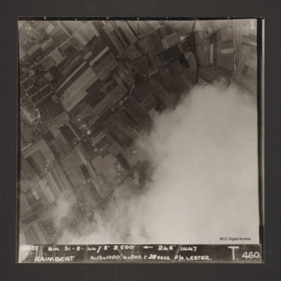
Raimbert
Vertical aerial photograph of Raimbert V-2 storage site. The bottom right of the image is obscured by cloud.
Captioned '6051 Bin. 31-8-44//8" 8,800'
Captioned '6051 Bin. 31-8-44//8" 8,800'
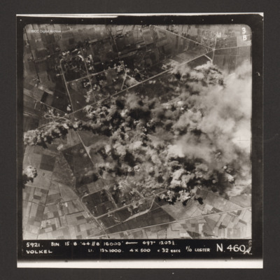
Volkel
Vertical aerial photograph of the bombing of Volkel airfield. The right hand side, centre of the image is obscured by bomb explosions and smoke. Captioned '5921. BIN 15-8-44 //8 16000' [arrow] 097° 1203 1/2 Volkel Li 13x1000 4x500 c 32 secs F/O…
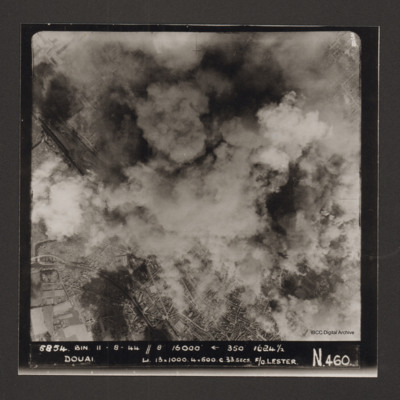
Douai
Vertical aerial photograph of Douai. In the lower half the centre of the town is visible but above that cloud and explosions obscure much of the rest. Captioned '5854 BIN 11-8-44 //8 16000' [arrow] 350° 1624 1/2 Douai Li…
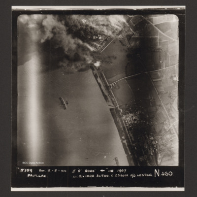
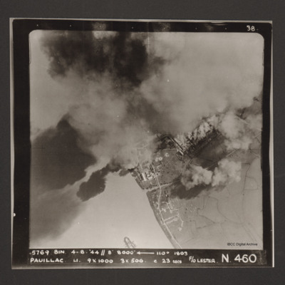
Pauillac
A vertical aerial photograph of Pauillac. At the top an industrial area is on fire with much smoke and bomb craters visible. In the river a ship is lying on its side. Captioned '5789 BIN 5-8-44 //8 8000' [arrow] 110° 1907 Paulliac Li 9x1000 3x500 c…
Pauillac
A vertical aerial photographs of Pauillac. Cloud and smoke obscures about half of the image. There is a small ship floating on the river. Captioned '5769 BIN 4-8-44 //8 8000' [arrow] 110° 1803 Paulliac. Li. 9x1000 3x500 c 23 secs F/O Lester. N 460'.
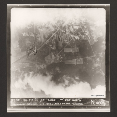
Trossy St Maximin
Vertical aerial photograph over Trossy St Maximin. The top and bottom sections are largely obscured by cloud and bomb explosions. Two Lancasters are visible, one directly below and one diving away in the bottom left corner of the…
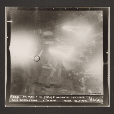
Bois Desjardins
A vertical aerial photograph identified as Bois Desjardins. Much of the image is obscured by bright lights. Captioned '5691 BIN. 25/26-7-44 //NT(C) 8" 10.000' [arrow] 070° 0253 Bois Desjardins Y. 18x500. 19 secs. P/O. Lester. V 460'.
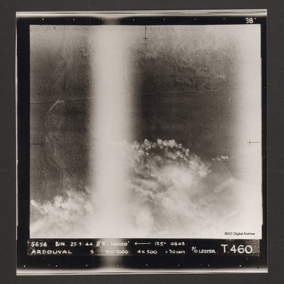
Ardouval
Vertical aerial photograph of bombing of Ardouval. The bottom half of the image is partially obscured by bomb explosions. Captioned '5656 BIN 25-7-44 //8 14000' [arrow] 125° 0843 Ardouval S 11x1000 4x500 c 30 secs P/O Lester T. 460'.
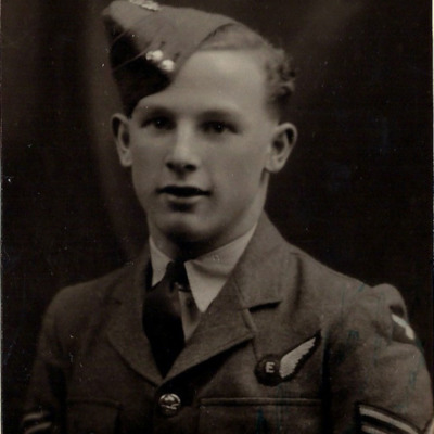
Flight Sergeant George Toombs
Head and shoulders portrait of George Toombs with flight engineer half brevet.
Tags: aircrew; flight engineer

