Browse Items (56 total)
- Spatial Coverage is exactly "France--Saint-Omer (Pas-de-Calais)"
Sort by:
Wizernes
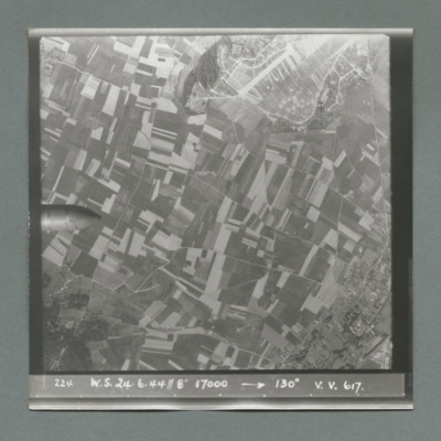
Sequence of five target photographs taken at intervals from the same aircraft. All show open countryside with fields and roads. The nose of the bomb is visible on left edge centre in first image and further right in the second. A large area with many…
Wizernes
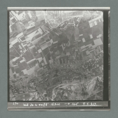
Target photograph showing open countryside with fields and roads. Centre right is a large area with many craters. Caption '230, WS, 24.6.44, 8", 16300, 140 degrees, T., T., 617'. On the reverse '51:96/24'.
Wizernes
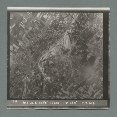
Target photograph showing open countryside with fields and roads. In the centre a large area with many craters. Caption '238, W.S., 24.6.44, 8", 17000, 124 degrees, Y., Y., 617'. On the reverse '51:96/25'.
Wizernes
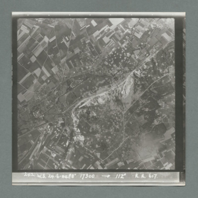
Target photograph showing open countryside with fields and roads. In the centre is a large area with many craters. Caption '242, W.S., 24.6.44, 8", 17300, 1`12 degrees, R., R., 617'. On the reverse '51:96/26'.
Wizernes
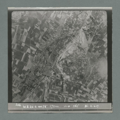
Target photograph showing open countryside with fields and roads. In the centre a large area with many craters. Caption '246, W.S., 24.6.44, 8", 17200, 150 degrees, B1, O, 617'. On the reverse '51:96/28'.
Wizernes, Edward King's 21st operation of his tour
Six items, Edward's very brief description of the operation, his navigation plot, the expected H2S return over the target. Two press clipping, captioned 'The result of Bomber Commands 12,000 lb bomb attacks on one of the Enemy's V.2 rocket sites'.…

