Browse Items (72 total)
- Conforms To is exactly "Pending geolocation"
Sort by:
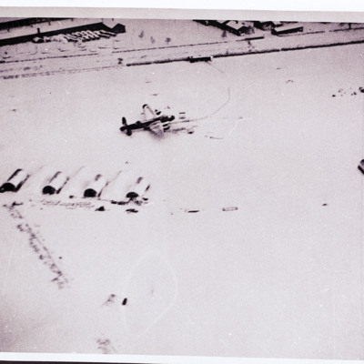
Snow covered airfield with Lancaster
Air-to ground view of a snow covered airfield with huts and two parked Lancaster. Buildings at the top.
Tags: aerial photograph; Lancaster
Headington School
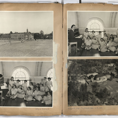
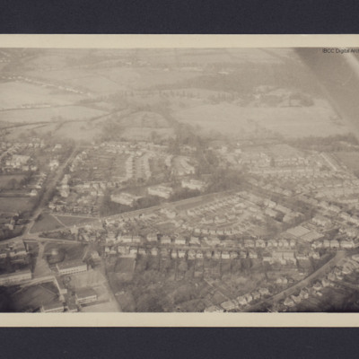
Left page; top, view across tennis courts to Headington School, Headington road, Headington, Oxford.
Bottom, a group of 13 girls and a teacher taken in the main assembly hall of Headington school.
Right page: top a group of 13 children and a…
Bottom, a group of 13 girls and a teacher taken in the main assembly hall of Headington school.
Right page: top a group of 13 children and a…
Tags: aerial photograph
Two women and two aerial city views
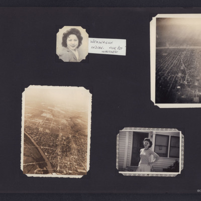
Four photographs from an album.
#1 is a head and shoulders portrait of a women. An attached note states 'Werwaguk Indian. Our pet waitress'.
#2 s Miami, Oklahoma, looking North across the Neosho River showing the railway junction area.
#3 is an…
#1 is a head and shoulders portrait of a women. An attached note states 'Werwaguk Indian. Our pet waitress'.
#2 s Miami, Oklahoma, looking North across the Neosho River showing the railway junction area.
#3 is an…
Tags: aerial photograph; First nation
Cahagnes
LH page, target photograph rural area with road running left to right and several buildings in top left. Many bomb explosions visible, captioned '429.EWS.30.7.44.//8" 2500 200(degrees) 0832.CAHAGNES MTT/TGT. U. 20 X 500.C.23 secs. F/Lt Josey. U.103'.…
Niagara Falls
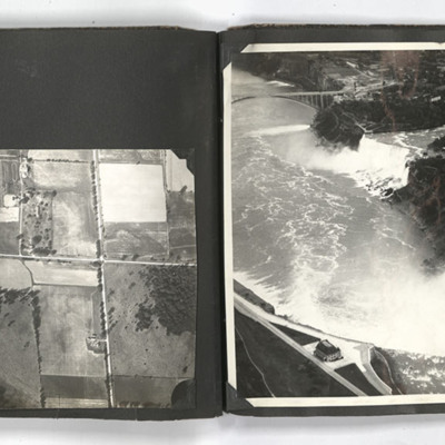
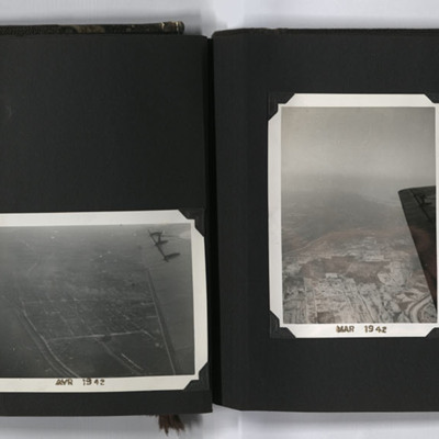
The two photographs on the left page show aerial views of the countryside.
The photograph on the right page shows an aerial view of Niagara Falls.
The photograph on the right page shows an aerial view of Niagara Falls.
Tags: aerial photograph
Volkel Airfield
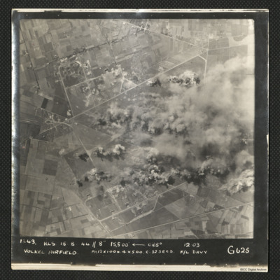
A vertical aerial photograph of an operation at Volkel airfield. Much of the image is obscured by bomb blasts and smoke.
It is captioned '1243 KLS 15.8.44//8" 15,500
It is captioned '1243 KLS 15.8.44//8" 15,500
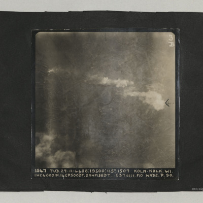
Cologne
A target photograph taken on an operation at Cologne-Kalk. Bombs can be seen falling in lower right quadrant. Smoke is being emitted from near river bank top left. The River Rhine forms a curve from centre bottom to top left corner. Two bridges are…
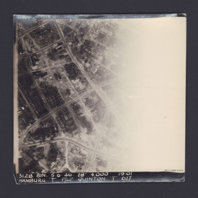
Hamburg
A vertical aerial photograph of Hamburg. The right half of the image is obscured by light.
It is captioned '3128 Bin 5.6.46 //8" 4000 19.01 Hamburg 'T' F/Lt Quinton 'T' 617'.
On the reverse 'On Loan P&R Darby Woodhall Spa'.
It is captioned '3128 Bin 5.6.46 //8" 4000 19.01 Hamburg 'T' F/Lt Quinton 'T' 617'.
On the reverse 'On Loan P&R Darby Woodhall Spa'.
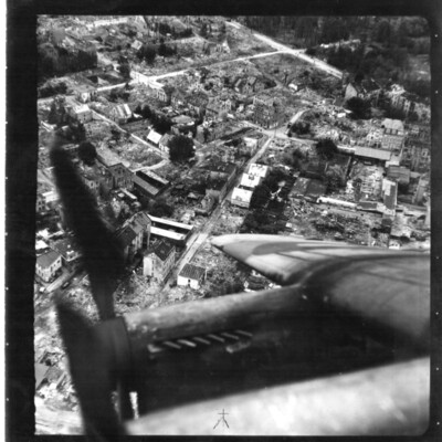
Bomb Damaged Town
An oblique aerial photograph of a town destroyed by bombing. The starboard wing of an aircraft obscures the bottom of the image.
Tags: aerial photograph; bombing; Cook’s tour; Lancaster
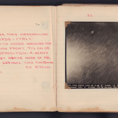
Bologna
A target photograph taken on an operation to the Bologna Main Marshalling Yards. Fields and roads are visible in most of the image. There is an area of glare at the left edge, which obscure some ground detail. The photograph is annotated 'A4' and…
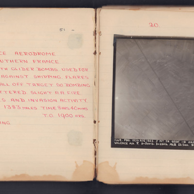
Valence Aerodrome Southern France
Target photograph for an operation to Valance Aerodrome. A road is visible, running diagonally top to bottom, surrounded by fields. The photograph is annotated 'A4' and captioned:
'1669. FOG. 15/16 AUG 1944. //NT. F8. 9500'. -> 020° 23.38.
VALENCE…
'1669. FOG. 15/16 AUG 1944. //NT. F8. 9500'. -> 020° 23.38.
VALENCE…
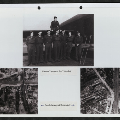
Aircrew and bomb damage
Three photographs mounted on a page.
Top: Eight aircrew in battledress, seven standing in a line by the open rear door of a Lancaster and one seated on the tailplane. It is captioned: 'Crew of PA 320 AY-S'.
Bottom left: Vertical aerial photograph…
Top: Eight aircrew in battledress, seven standing in a line by the open rear door of a Lancaster and one seated on the tailplane. It is captioned: 'Crew of PA 320 AY-S'.
Bottom left: Vertical aerial photograph…
Tags: 166 Squadron; aerial photograph; aircrew; bombing; Lancaster
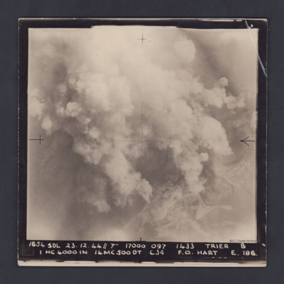
Trier
A vertical aerial photograph taken during a bombing operation at Trier. Much of the detail is obscured by bomb explosions but in the bottom right corner are fields and roads.
It is captioned :
'1654 SDL 23.12.44 // 7" 17000 097 1433 Trier B
1…
It is captioned :
'1654 SDL 23.12.44 // 7" 17000 097 1433 Trier B
1…
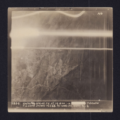
Trento
Vertical aerial target photograph of Trento. Some ground details, mainly roads, are visible as is open countryside. In the upper part are several light trails from ordnance. It is captioned:
2829 104/90. 8/9-APR-45. F8". NT.//9,500'.→[redacted]…
2829 104/90. 8/9-APR-45. F8". NT.//9,500'.→[redacted]…
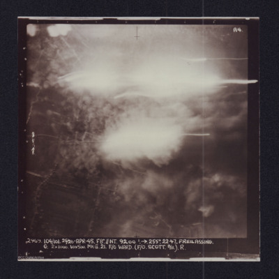
Freilassing
Target photograph showing explosions. Captioned '2969 104/101, 25/26 Apr 45, F8//NT 9200 ft, >255 degrees.22.47 Freilassing, G 2x1000, 10x500 Mk III 21 F/O Ward (F/O Scott B/A) R'. Two versions of the same image.
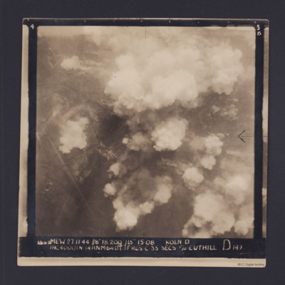
Cologne
Target photograph for an operation to Cologne. It shows clouds of smoke rising up from several locations on the ground. Residential areas and roads are visible, as are some bomb craters in the fields. It is annotated '3B' and captioned:
'[…
'[…
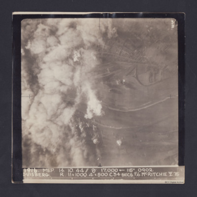
Duisberg
Target photograph taken on an operation to Duisberg. Left hand side is obscured by smoke or cloud and several bomb explosions can be seen. The Rhine river runs across the image, just below half height and there is built up area towards top of…
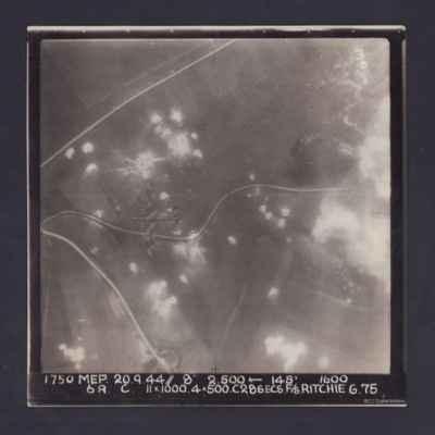
Pas de Calais
Target photograph. Fields and several minor roads visible. Much of the image is dotted with smoke from bomb bursts or Anti-aircraft fire and glare obscures right hand side. A Lancaster can be seen flying below. Annotated '3B' and captioned '1750 MEP…
Aerial Photographs, Canada
Four aerial photographs from an album.
#1 is a city with a river.
#2 is looking south along the Richelieu River, to the right is Saint-Jean-sur-Richelieu, Quebec, Canada.
#3 is a city with a regular grid street pattern and a river under the wing…
#1 is a city with a river.
#2 is looking south along the Richelieu River, to the right is Saint-Jean-sur-Richelieu, Quebec, Canada.
#3 is a city with a regular grid street pattern and a river under the wing…
Tags: aerial photograph; training
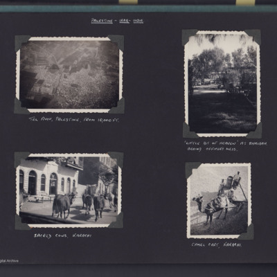
Tel Aviv, Shaibah and Karachi
Top left - view looking down from aircraft of a city below. Captioned 'Tel Aviv, Palestine from 10,000 ft'.
Top right - view of secluded garden with trees and building in background. Captioned '"little bit of heaven" at Shaibah, behind officer's…
Top right - view of secluded garden with trees and building in background. Captioned '"little bit of heaven" at Shaibah, behind officer's…
Tags: animal
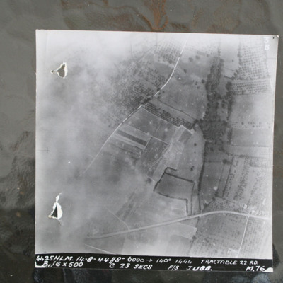
Route National 158
Image shows open countryside with Route National 158 between Caen and Falaise. Captioned '4425HLM.14-8-44//8" 6000 >140 degrees 1444 Tractable 22 RD, B16x500 c 23 secs F/S Jubb M76'.
Identification kindly provided by Ray Moroney of the Finding the…
Identification kindly provided by Ray Moroney of the Finding the…

