Browse Items (167 total)
- Tags: reconnaissance photograph
Sort by:
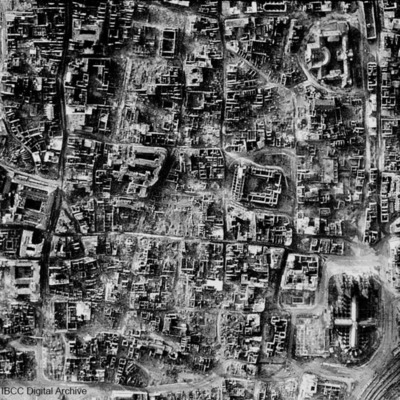
Cologne
A vertical photograph taken of the destruction of Cologne. Almost every building has been destroyed. The cathedral is in the bottom right corner. Submitted with caption: 'The results of bombing on the centre of the German city of Cologne, February…
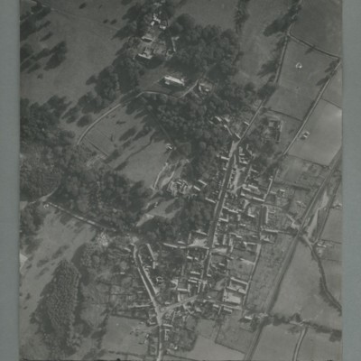
Little Walsingham
Reconnaissance photograph of a village surrounded by open fields. A main road runs top centre to bottom. The image is orientated with south at the top. Captioned '0020, OCU331, 006519Sep55.1445Z, 20"Can/50 F/O JONES, RESTD'. On the reverse…
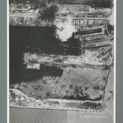
Le Havre
Reconnaissance photograph showing a damaged port area with a basin orientated left right with a pier in the centre. Caption 'Le Havre K2491(IMMED)'. On the reverse 'Date 11.7.44, Unit WS, Neg No. G103, 51:53'. Dock area has been heavily bombed, with…
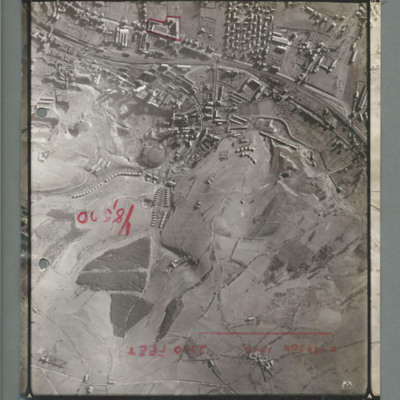
La Ricamerie factory
Reconnaissance photograph showing built up area at the top with railway line running left to right, There is a red line surrounding a small industrial area top slightly to the left of centre. There is a scale marked showing 2000 ft and 'Y8,520'…
Aircraft factory at Albert
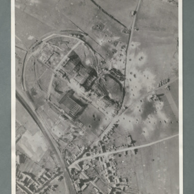
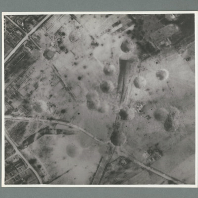
Reconnaissance photograph showing a railway line bottom left and an industrial area circled by a road in the centre. There are a number of craters to the right side of the industrial area. On the reverse 'Secret, Con G.412'
Limoges
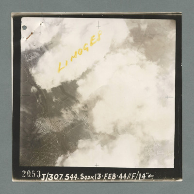
Reconnaissance photograph showing buildings on the left through a gap in clouds. Captioned 'Limoges' On the bottom '2053, J/307.544 Sqdn. 13.Feb.44, //F/14"'. On the reverse 'K144'.
Mimoyecques
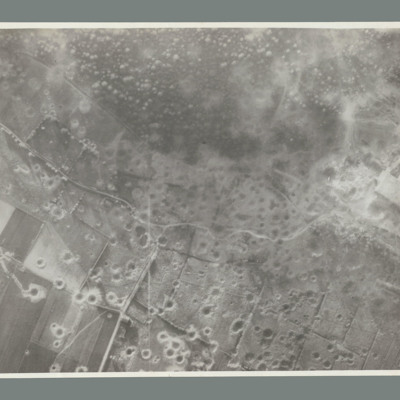
Target photograph showing open countryside with heavily cratered area in the centre. Caption '362, WS, 6.7.44, 8", 15600, [....], 1534, Mimoyecques RD, X, 1 x 12000, C, 35 secs, [..]earn, X, 617'. On the reverse '5:99/5, Photo 282'.
Mimoyecques
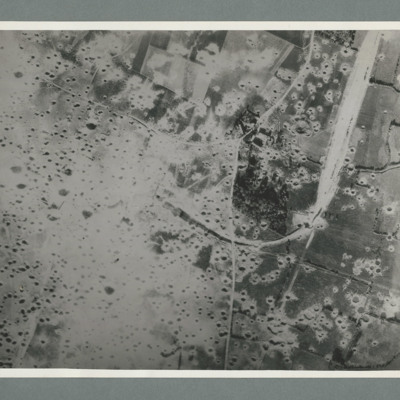
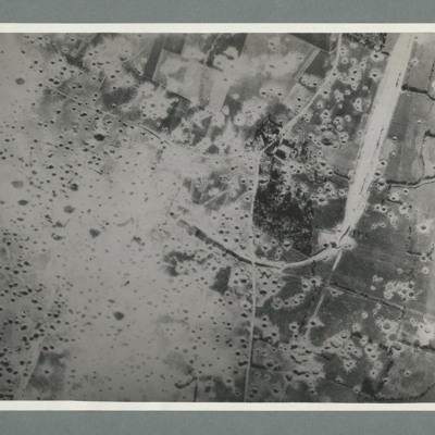
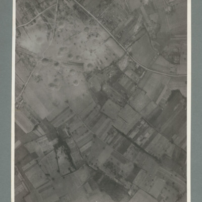
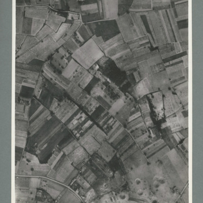
Reconnaissance photograph showing open countryside with fields. A railway runs from top right downwards then loops to the left, culminating in the centre, The left side is covered in multiple craters. Craters on the right side are less concentrated.…
St Leu D'Esserent
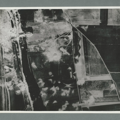
Reconnaissance photograph showing open countryside with fields. Road railway runs top right to bottom right. Road runs from bottom centre/right and splits, one going top top centre and the other to top left. There are a large number of craters on…
St Leu D'Esserent
Reconnaissance photograph showing a wooded area running top to bottom on the left with a road, railway to its left. On the right two roads run from the bottom joining top centre. There are a large number of craters to the left of the river and top…
Siracourt
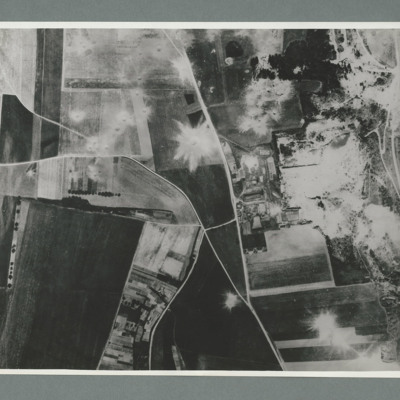
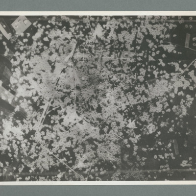
Reconnaissance photograph showing area completely covered by many craters. On thew reverse 'Date 11.7.44, Unit WS, Neg No. G109'
Watten
Reconnaissance photograph showing open countryside with fields. Road runs top left to middle right and another from middle to bottom. The whole bottom half of the image is covered with craters. On the reverse 'WATTEN. THE WHOLE TARGET AREA HAS BEEN…
Boulogne
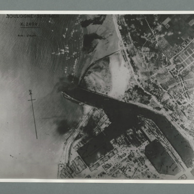
Reconnaissance photograph of the port of Boulogne. Numerous craters can be seen on land above the port entrance and around the dock area on the bottom of the image. Captioned 'Boulogne Sur Mer, K2494, scale 1:10,700'. On the reverse 'Date 11.7.44,…
Boulogne
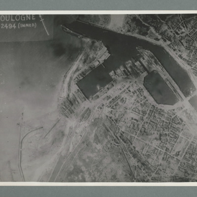
Reconnaissance photograph showing the town to the bottom right with port area in the top right quadrant. Many bomb craters can be seen around the port area. On the reverse 'Date 11.7.44, WS, G108, 51:04/5, photo 178'.
Saumur railway tunnel
Reconnaissance photograph showing entrance of railway tunnel one quarter way down in centre with large crater to right of entrance. Other craters to the left of entrance. three roads join top slightly left and run to left and right sides. On the…
Saumur railway tunnel
Reconnaissance photograph showing entrance of railway tunnel with large crater just above. Two other craters on approach line with others to the left and right. On the reverse '8.7.44, W.S. G94, 51:92/20'.
Saumur railway bridge and tunnel
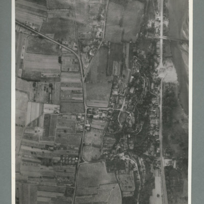
Reconnaissance photograph showing road running top to bottom on the right side. To the right a river. Top right a railway bridge with rail line running into a tunnel just left of road. To the left of the road a built up area. A crater is visible on…
Saumur railway bridge
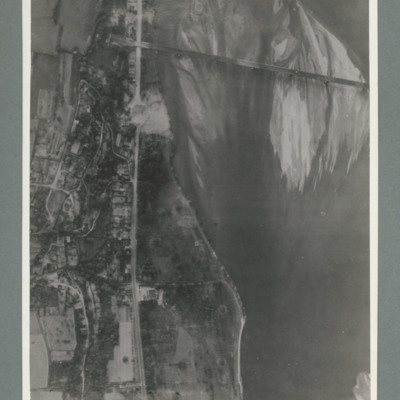
Reconnaissance photograph showing river running top to bottom on right and rail bridge running from right to left with entrance to tunnel top left. A road runs down the riverbank from top to bottom. Large crater visible on road just below bridge.…
Saumur railway tunnel
Reconnaissance photograph showing mostly open countryside. Bottom right shows entrance to railway tunnel with large crater and other craters to the right. On the reverse '15.6.44, WS, G79, 51:92/20'.
Saumur region
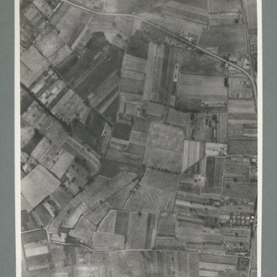
Reconnaissance photograph showing open countryside with road running top left to right and another from bottom left to right. On the reverse '15.6.44, WS G 80, 51:92/25'.
Saumur railway tunnel
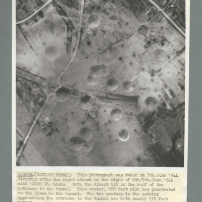
Reconnaissance photograph of Saumur tunnel entrance and surrounding area taken on 9 June 1944 after attach with 12,000 lb bombs. Description notes direct hit on roof of entrance to tunnel and two other 100 foot craters on the approach to tunnel. On…
Limoges railway station and marshalling yard
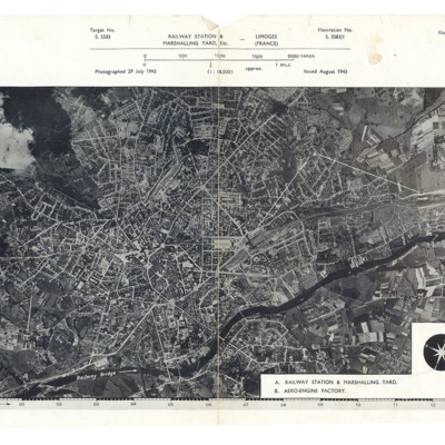
A reconnaissance photograph showing a large town with a river running from lower left to top right. A station and marshalling yard are in the middle of the left half and a further marshalling yard and the aero-engine factory are on the upper right…
Limoges railway station and marshalling yard
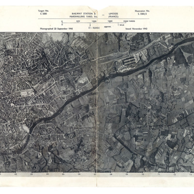
A reconnaissance photograph showing a large town with a river running from lower left to right. Just right of centre is a railway station with marshalling yard. A further marshalling yard is on the right side Both marshalling yards are indicated by…
Reconnaissance photograph, post bombing, of Brux industrial plant, Czechoslavakia
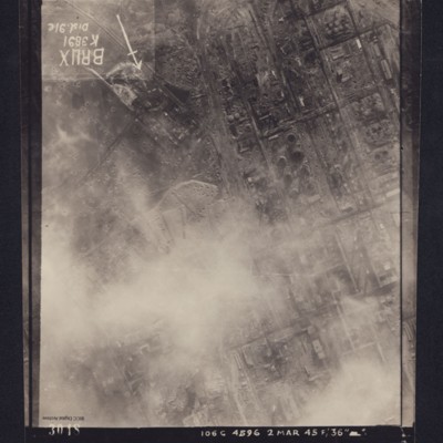
Reconnaissance photograph of heavily industrialised area. Approximately one third of the area is obscured by cloud. There is considerable cratering across the area, and extensive damage to the industrial buildings and railway is visible. Caption in…
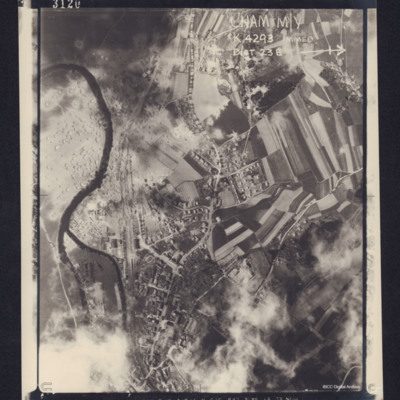
Cham
Reconnaissance photograph of a small town in an agricultural location. A river is winding through the left hand side of the photograph, and a road runs top to bottom. Between the road and the river is a railway line. Several trains can be seen in a…

