Browse Items (1442 total)
- Tags: aerial photograph
Sort by:
Saumur
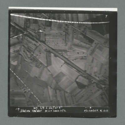
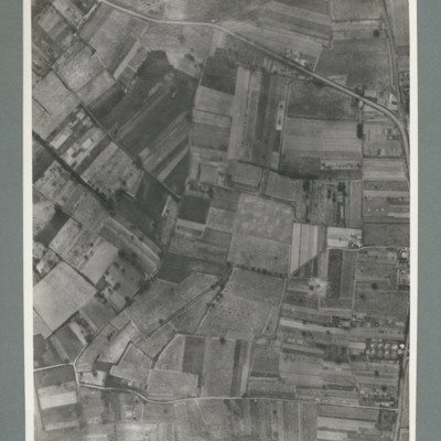
Target photograph showing open countryside south west of Samur with Rue du Pont Fouchard running from top left to bottom right. There are lines of tracer on top and bottom left. Caption '119, W.S. 8/9.6.44, NT 8", Special Target, K.6 x 1000. 6x7FL,…
Saumur
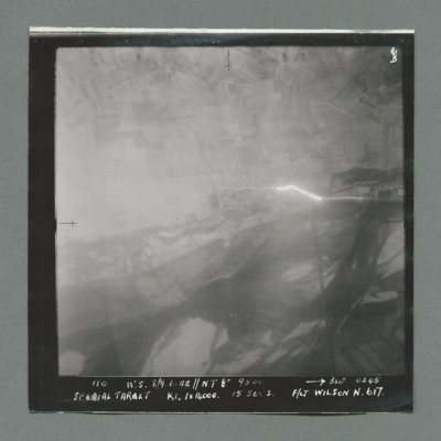
Target photograph showing open country with tracer emanating from centre right. Caption '110, W.S. 8/9.6.44, NT 8", 320,0245, Special Target, K1. 1 x 14000, 15 secs, F/Lt Wilson N, 617'. On the reverse 51:92/8'.
Saumur
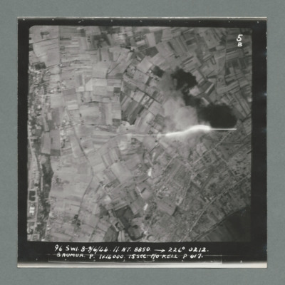
Target photograph showing open countryside. On the left a road runs top to bottom with buildings along both sides. Tracer shown middle right. Caption '96, S.W1, 8/9.6.44, N.T. 8850, 226 degree, 0212, Saumur, P, 1 x 14000, 15 sec, F/O Kell P, 617'. On…
Saumur
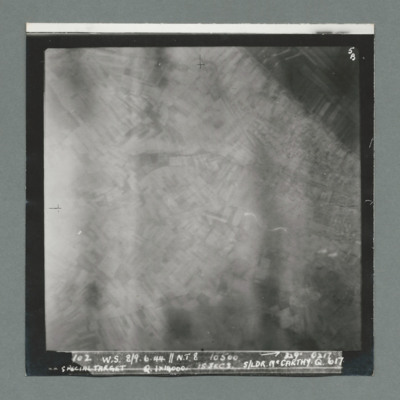
Target photograph showing blurred open countryside. Caption ' 102, W.S. 8/9.6.44, N.T. 8, 10500, 329 degrees, 0217, Special Target, Q, 1 x 14000, 15 secs, S/Ldr McCarthy, Q, 617'. On the reverse '51:92/10'.
Saumur
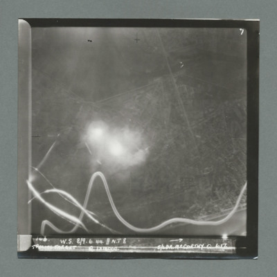
Target photograph shows open countryside with line feature running top centre to bottom right. Bomb explosion centre left with tracer tracks along the bottom. Caption 'W.S., 8/9.6.44, N.T. 8, Special Target, Q, 1 x 14000, S/Ldr McCarthy, Q, 617'. On…
Saumur
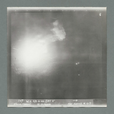
Target photograph shows bomb explosion left centre. Caption '107, W.S., 8/9.6.44, NT. 8", Special Target, U, 1 x 14000, F/Lt Keans, U, 617'. On the reverse '51:92/13'.
Saumur
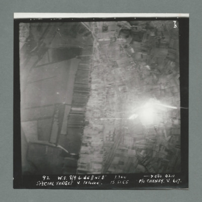
Target photograph showing open country. Railway line runs top centre curving to bottom centre. Bomb explosion right middle to the right of railway line. Caption '92, W.S., 8/9.6.44, 9,300, 080, 0211, Special Target, V, 1 x 14000, 15 secs, P/O Cheney,…
Saumur
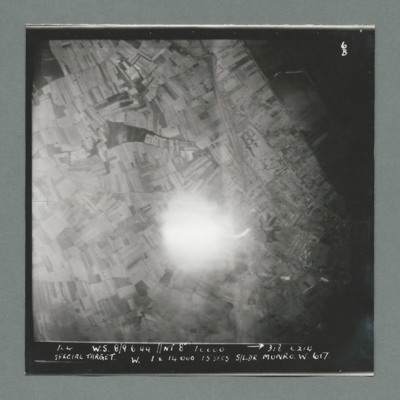
Target photograph showing open countryside with rali line running top centre to centre. Bomb explosion centre slight below middle to the left of rail line. Caption '100, w.s., 8/9.6.44, NT 8", 312, 0214, Special Target, W, 1 x 14000, 15 secs, S/Ldr…
Saumur
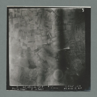
Target photograph showing open countryside with railway line running from top left towards centre. Caption 'W.S., 8/9.6.44,,NT 8", 285 degrees, 0213, Special Target, Z, 1 x 14000, 15 secs, F/O Ross, Z, 617'. On the reverse '51:02/16'.
Saumur rail bridge
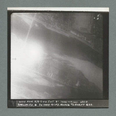
Target photograph showing bridge over river in top left. Bomb explosion on lower bank to the right bridge. Caption '2377, Con, 8/9.6.44, NT 8", 7000, 260, 0220, Sp[ecial Rd, 5 x 1000, 9CP3.18 secs, W/O Erritt, Q, 88'. On the reverse '51@92/18, 1 1/2…
Saumur railway bridge
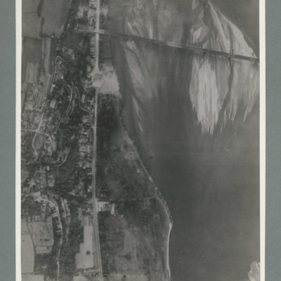
Reconnaissance photograph showing river running top to bottom on right and rail bridge running from right to left with entrance to tunnel top left. A road runs down the riverbank from top to bottom. Large crater visible on road just below bridge.…
Saumur railway bridge and tunnel
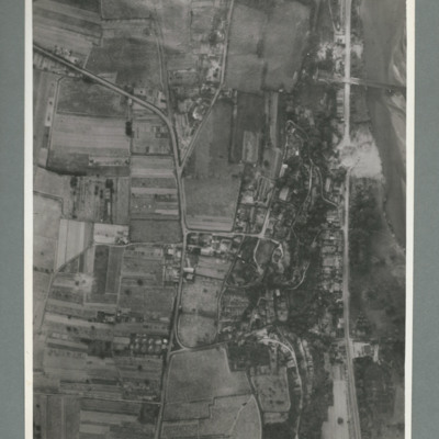
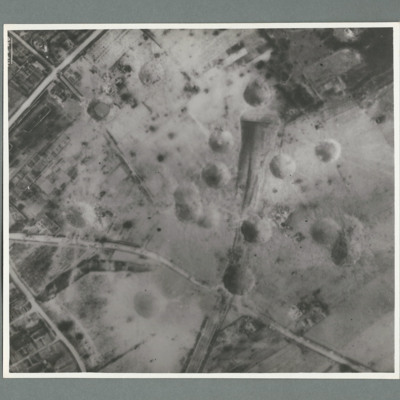
Reconnaissance photograph showing road running top to bottom on the right side. To the right a river. Top right a railway bridge with rail line running into a tunnel just left of road. To the left of the road a built up area. A crater is visible on…
Saumur railway tunnel
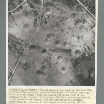
Reconnaissance photograph of Saumur tunnel entrance and surrounding area taken on 9 June 1944 after attach with 12,000 lb bombs. Description notes direct hit on roof of entrance to tunnel and two other 100 foot craters on the approach to tunnel. On…
Saumur railway tunnel
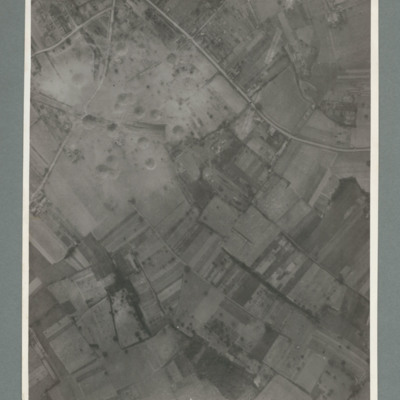
Reconnaissance photograph showing mostly open countryside. Bottom right shows entrance to railway tunnel with large crater and other craters to the right. On the reverse '15.6.44, WS, G79, 51:92/20'.
Saumur railway tunnel
Reconnaissance photograph showing entrance of railway tunnel with large crater just above. Two other craters on approach line with others to the left and right. On the reverse '8.7.44, W.S. G94, 51:92/20'.
Saumur railway tunnel
Reconnaissance photograph showing entrance of railway tunnel one quarter way down in centre with large crater to right of entrance. Other craters to the left of entrance. three roads join top slightly left and run to left and right sides. On the…
Saumur region
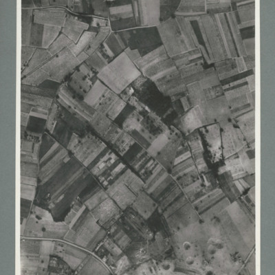
Reconnaissance photograph showing open countryside with road running top left to right and another from bottom left to right. On the reverse '15.6.44, WS G 80, 51:92/25'.
Saumur tunnel
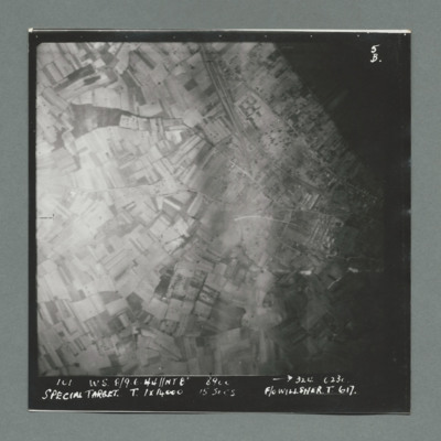
Target photograph shows open countryside. Railway line runs from top centre to middle right, with one leading the Saumur tunnel. Caption '101, W.W., 8/9.6.44, NT8", 324, 0230, Special Target, T, 1 x 14000, 15 secs, F/O Willsher, T, 617'. On the…
Scenes on the ground and Tower Bridge
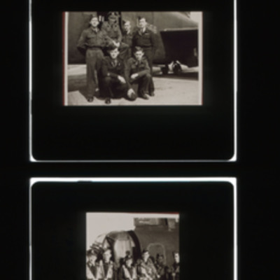
Two versions of the same strip with enlargements of all slides. Slide 1 - captioned 'Returning load of ex-POWs (American) to Chilbolton Hants UK from Brussels'. A large group of men in various dress standing behind a Stirling with trees and building…
Scharnhorst and Gneisenau
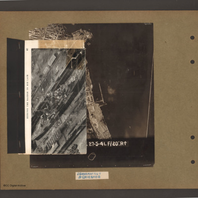
On top an aerial inclined photograph of a warship inside a dock with moles either side. Title 'Seeking the raider in his lair'. Underneath an aerial vertical photograph of a coastline lined with dock facilities and buildings running top to bottom. At…
Scharnhorst and Gneisenau
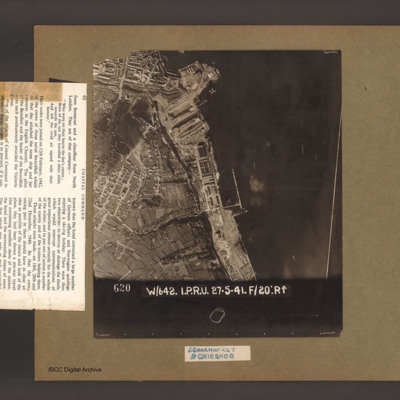
An aerial vertical photograph of a coastline lined with docks and buildings. At the top and inlet with docks and town buildings to its left. Below a peninsular are three docks pointing down and left. A large warship is moored in the bottom dock. Just…
Scharnhorst and Gneisenau
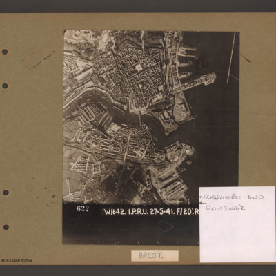
Aerial vertical photograph showing a coastal town with docks on the coast and a river running through the middle. On the right open water with a breakwater in the top right corner pointing down. Above the river on the four large jetties point into…
Schiedam docks
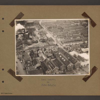
Aerial inclined photograph of a town. At the bottom several large multistory buildings orientated upwards and slightly left a factory with dwellings to the left. In the top right rows of single story residences. At the top left a factory with chimney…
Tags: aerial photograph
Schiedam docks
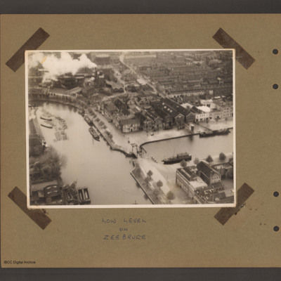
An aerial incline photograph of docks and town. At the bottom two dock basins are joined by a narrow passage with small lifting bridge. There are a number of barges moored in both basins. Top left is a factory with smoking chimneys and two gas…
Tags: aerial photograph
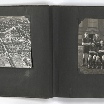
School sports and an aerial view of Goderich
The left photograph shows an aerial view of Goderich, Ontario, Canada. The photo is taken facing east from just south of the town centre, towards the Maitland River; the geometric area of trees in the upper centre of the image is Courthouse Square.…
Tags: aerial photograph; sport; training

