Browse Items (1442 total)
- Tags: aerial photograph
Sort by:
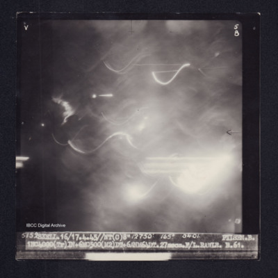
Pilsen
Target photograph of Pilsen. Completely obscured by haze, smoke, dust, light streaks and balls of light. Captioned 'V', '5B', '5152 SKELL.16/17.4.45//NT(C)8" 12750' 165° 0401. PISEN.B. 1HC4000(Tr)IN+6MC500(M2)DT46ANM64DT.27secs.F/L.RAWLE.B.61.'. On…
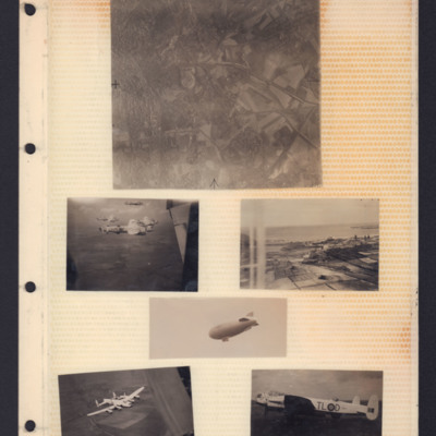
Places, Good Will tour Lancasters and airship
Top - reconnaissance photograph of town on left with roads and open countryside on right.
Middle left - Air-to-air view of formation of four Lancasters in light paint scheme over open countryside. The tail plane of aircraft from which photo…
Middle left - Air-to-air view of formation of four Lancasters in light paint scheme over open countryside. The tail plane of aircraft from which photo…
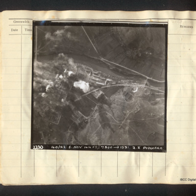
Podgorica
Vertical aerial photograph of Podgorica. The image is very clear apart from explosions and fires on the left side, a mainly industrial area. A river flows left to right with a road bridge and several roads. Captioned '22.30 40/22. 6. Nov '44…
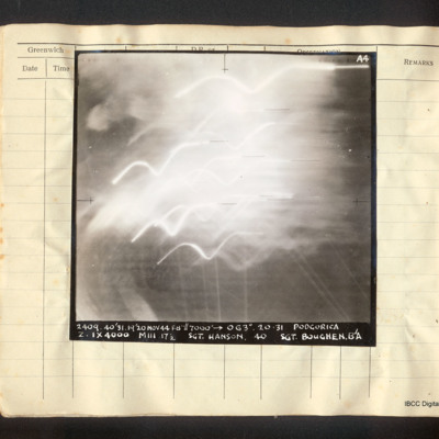
Podgorica
Vertical aerial photograph of Podgorica, obscured by explosions and tracer. It is captioned 'A4 2409 40/31 19/20 Nov 44 F8"//7000' [arrow] 063°. 20.31 Podgorica Z. 1x4000 MIII 17 1/2 Sgt. Hanson 40 Sgt Boughen. B/A'
Podgorica
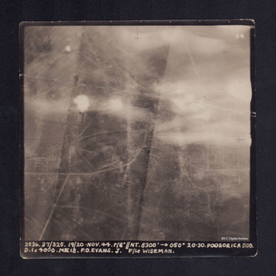
A vertical aerial photograph of Podgorica taken during bombing operations. The top half is largely obscured by anti-aircraft fire. Street patterns are visible. It is captioned '2536. 37/325. 19/20. Nov. 44. F/8"//NT. 8300' -->050° 20.30 Podgorica…
Podgorica
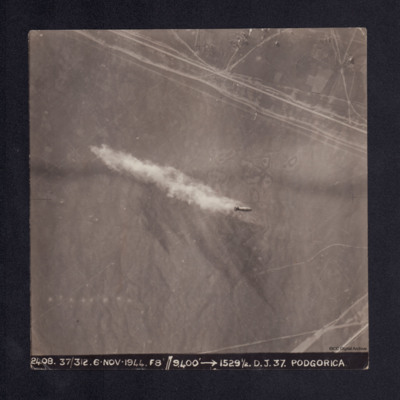
A sequence of nine vertical aerial photographs taken during the bombing of Podgorica. They are numbered 2408 to 2416. The first image shows a single bomb being dropped.
It is captioned '2408. 37/312 6. Nov. 1944. F8"//9,400' --> 1529½ D.J. 37.…
It is captioned '2408. 37/312 6. Nov. 1944. F8"//9,400' --> 1529½ D.J. 37.…
Podgorica
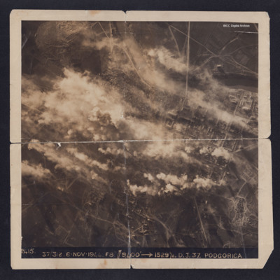
A target photograph taken during an operation to Podgorica. Half of the image is obscured by explosions and smoke. The river and the grid pattern of streets and buildings can be clearly seen. On the reverse is captioned 'With compliments from 336…
Podgorica-Klopot roads
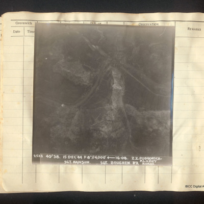
Vertical aerial photograph of the roads between Podgorica and Klopot. A river meanders across the centre, round a rock ridge. It is followed in part by a road. Captioned '2528 40/38 15 Dec '44 f8"//4,000' [arrow] 16.08 Z.Z Podgorica-Klopot Roads Sgt…
Poitiers
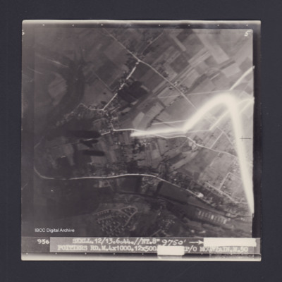
Target photograph of Poitiers. Mainly rural area, roads and buildings visible, some light streaks. Captioned '5', '936 SKELL.12/13.6.44.//NT.8" 9750' [arrow] [track and time censored] POITIERS RD.M.4X1000.12X500 [EXPOSURE CENSORED] P/O…
Poitiers
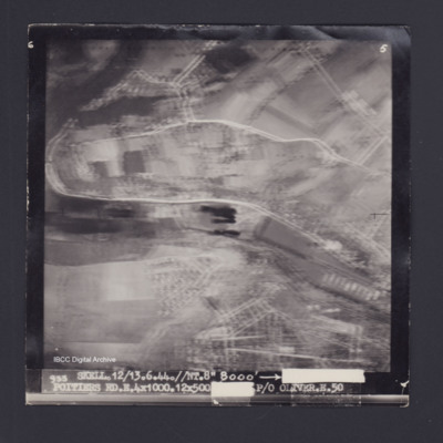
Target photograph of Poitiers. Rural area, no detail visible, but bombs can be seen falling. Captioned '6', '5', '933 SKELL.12/13.6.44.//NT.8" 8000' [arrow] [track and time censored] POITIERS RD.E.4X1000.12X500 [exposure censored] P/O OLIVER.E.50'.…
Poitiers
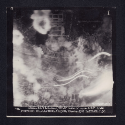
Target photograph of Poitiers. Urban area partially obscured by smoke, dust and light streaks. Captioned '5°F', '7B', '938 SKELL.12/13.6.44.//NT.8" 6500' [arrow] 044° 0146 POITIERS RD.J.4X1000.12X500.18secs.P/O LAIDLAW.J.50'. On the reverse…
Politz
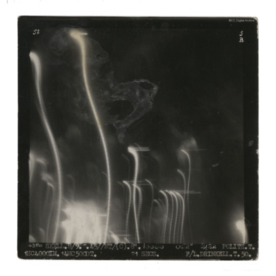
A vertical aerial photograph taken during an operation at Politz. Streaks of light and damage obscure ground detail. It is captioned '4380 Skell. 8/9 2.45//NT/(C) 8" 10000 052° 2122 Politz. T. 1HC 4000IN. 14MC 500DT. 21 secs F/L Drinkell.T.50.' On…
Politz
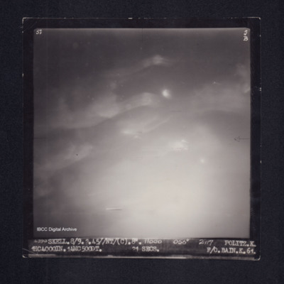
Target photograph of Politz. Completely obscured by haze or cloud and balls of light. Captioned '5°F', '5B', 4390 SKELL. 8/9.2.45//NT/(C).8". 11000 056° 2117 POLITZ.K. HC4000IN.14MC500DT. 21secs. F/O. BAIN.K.61.'. On the reverse 'F/O. BAIN POLITZ.…
Politz
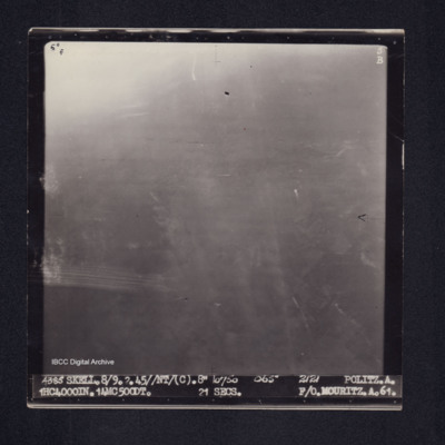
Target photograph of Politz. Partially obscured by ball of light and haze, no clear detail visible. Captioned '5[degreesF', '5B', '4385 SKELL.8/9.2.45//NT(C).8" 10750 065° 2121 POLITZ.A. 1HC4000IN. 14MC500DT. 21secs. F/O MOURITZ.A.61.'. On the…
Politz
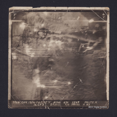
Vertical aerial target photograph of Politz oil refinery. It is annotated '3966.CON.13/14-1-45//NT.7" 18500 070 22:09 Politz H. 14CP3 29 secs F/O Inniss H 83'
Politz
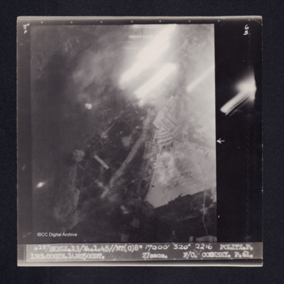
Target photograph of Politz. Partially obscured by light streaks, some bomb explosions, no clear detail. Captioned '3° F', '6B', '4237 SKELL.13/14.1.45//NT(C)8" 17000' 320° 2216 POLITZ.P. 1HC4000IN.14MC500DT. 27secs. F/O. COOKSEY. P.61.'. On the…
Ponte della Priula
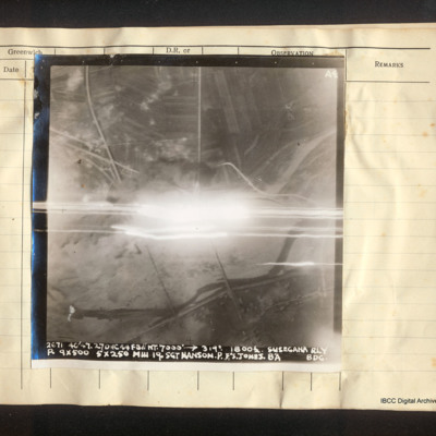
Vertical aerial photograph of the Ponte della Priula area. The centre is obscured by bright light and tracers. The Piave river meanders across the lower half of the image; the strada statale 13 Pontebbana and the Venezia – Udine railway line are…
Port Albert airfield
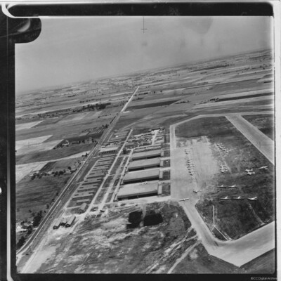
Oblique aerial photograph showing Port Albert Airfield in Ontario Canada with taxiways and hardstanding. Many Avro Anson aircraft in silver finish and lacking dorsal turrets, parked on airfield. Hangars and buildings to the left and a road (Bluewater…
Tags: aerial photograph; Anson; hangar; taxiway
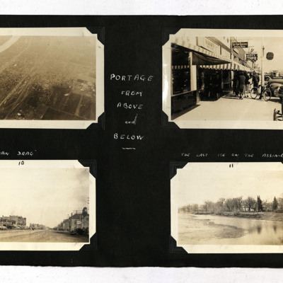
Portage from Above and Below
Four photographs from an album.
Photo 1 is an aerial oblique of Portage and its river.
Photo 2 is a pavement scene of shops and pedestrians.
Photo 3 is a the main street with cars, captioned 'Main Drag'.
Photo 4 is a river with trees on the bank,…
Photo 1 is an aerial oblique of Portage and its river.
Photo 2 is a pavement scene of shops and pedestrians.
Photo 3 is a the main street with cars, captioned 'Main Drag'.
Photo 4 is a river with trees on the bank,…
Tags: aerial photograph
Portes Les Valences
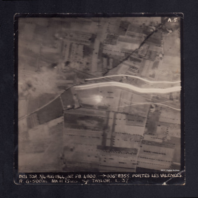
A vertical aerial photograph taken during the bombing of Portes les Valences. Anti-aircraft fire can be seen on the image. It is captioned '1821 TOR 3/4 Aug 1944//NT F8 4800 -->006° 2355. PORTES LES VALENCES. R.6 x 500 lbs MkIII 15 secs Sgt TAYLOR…
Post war German bomb damage
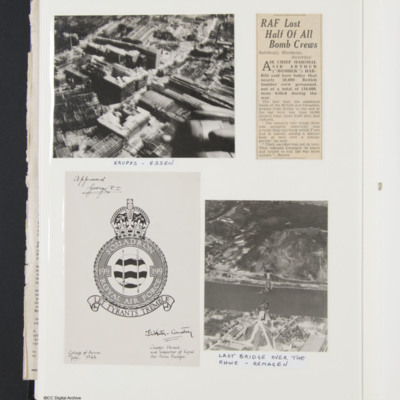
Low level aerial photograph of damaged buildings, captioned 'Krupps, Essen'. The starboard wing and outboard engine of an aircraft are visable.
Photograph of a destroyed bridge over a river, captioned, 'Last bridge over the Rhine-Remagen'.
copy of…
Photograph of a destroyed bridge over a river, captioned, 'Last bridge over the Rhine-Remagen'.
copy of…
Praia da Vitoria
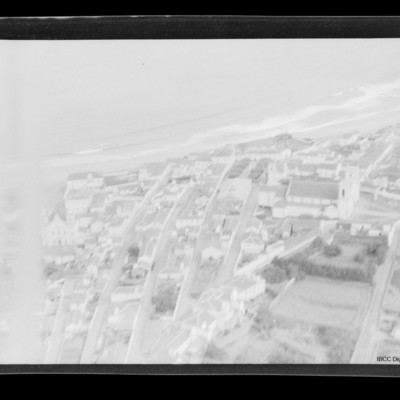
Air to ground view of a town with coast running left to right with sea beyond. Church middle right.
Tags: aerial photograph
Praia da Vitoria
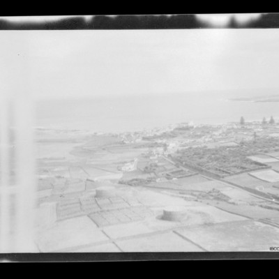
Open countryside in foreground. Coast running mid left to right. Small town towards right side with sea beyond.
Tags: aerial photograph
Press cutting, increased dispersal of enemy aircraft
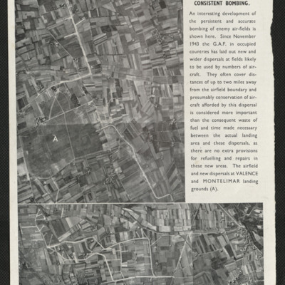
Captioned 'Increased dispersal due to consistent bombing'. Two photographs, of Valence and Montelimar show satellite airfields to enable wider dispersal of German Air Force aircraft due to the airfield bombing policy.
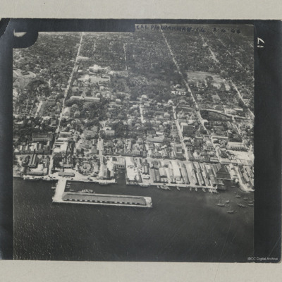
Prince George Wharf
An oblique aerial photograph of a wharf located slightly east of the British Colonial Hotel.
It is annotated 'C21 P/O Warman C4 2.4.44'.
It is annotated 'C21 P/O Warman C4 2.4.44'.
Tags: aerial photograph

