Browse Items (1442 total)
- Tags: aerial photograph
Sort by:
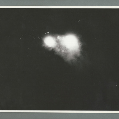
La Ricamerie factory
Oblique aerial photograph showing two large bright explosions in the centre with buildings visible between them. On the reverse 'Cam 2, Neg 1, Ops 142'.
Tags: aerial photograph; bombing
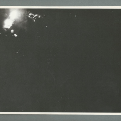
La Ricamerie factory
Oblique aerial photograph showing large bright explosions top left with other brights spots surrounding it. On the reverse 'Mirror-reversed, Cam 4, Neg 5, Ops 142, Daylight/Night attack on La Ricamerie, Date 10/11-3 44, Sqdn 617, pilot W/C Cheshire…
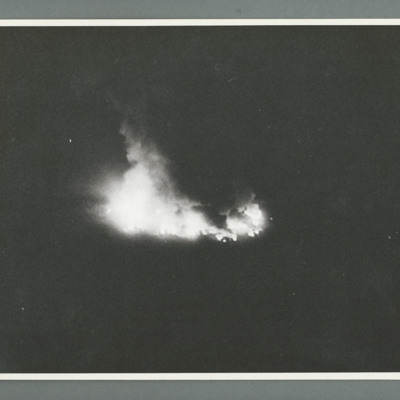
St Cyr airpark
Oblique aerial photograph showing an object on fire in the centre. On the reverse 'Can 2, Neg 1, Ops 150, St Cyr airpark, 10.4.44, 617, spot bursts, [...], Lancaster, 0200, orbiting, 10000/6000, 51/44'.
Tags: 617 Squadron; aerial photograph; bombing; Lancaster
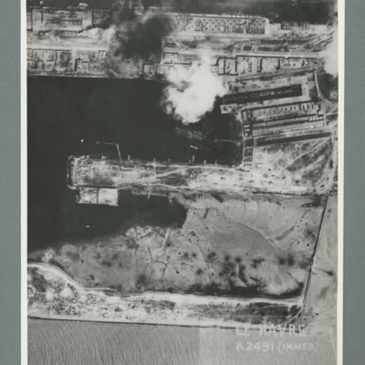
Le Havre
Reconnaissance photograph showing a damaged port area with a basin orientated left right with a pier in the centre. Caption 'Le Havre K2491(IMMED)'. On the reverse 'Date 11.7.44, Unit WS, Neg No. G103, 51:53'. Dock area has been heavily bombed, with…
Le Havre
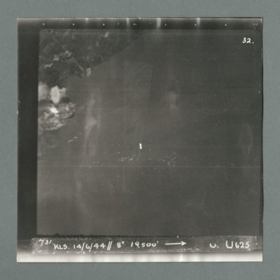
Target photograph showing land top left with bomb explosions on left edge just above centre. Caption '731, KLS, 14.6.44, 8", 19500, U, U625, Attack on Le Havre taken by Lancaster U of 625 squadron. Attack marked by Leonard Cheshire. On the reverse…
Le Havre
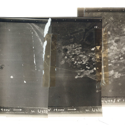
A mosaic of three target photographs of attack on Le Havre. Shows sea and cluster of bombs in the centre of left photograph and port area in the centre and right photograph. Caption '723, KLS, 14/6/44, 8", 1`9500, U. U625' Taken by Lancaster U of…
Little Walsingham
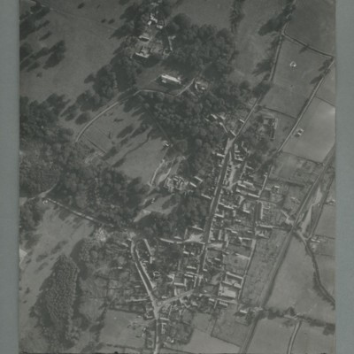
Reconnaissance photograph of a village surrounded by open fields. A main road runs top centre to bottom. The image is orientated with south at the top. Captioned '0020, OCU331, 006519Sep55.1445Z, 20"Can/50 F/O JONES, RESTD'. On the reverse…
617 squadron attack on St Cyr
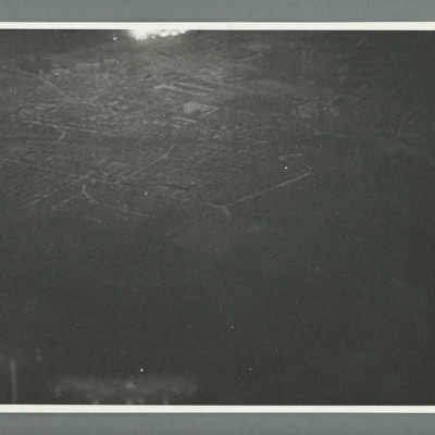
Night oblique aerial photograph showing a town with flares top centre. On the reverse 'Cam 1, Neg 1, 10.4.44, 150, St Cyr Airpark, 617,S/Lfr Munro, Lancaster, 0200,orbiting,10000/6000'.
Tags: 617 Squadron; aerial photograph; bombing; Lancaster
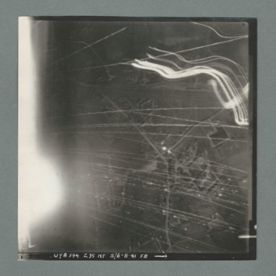
Target photograph
Target photograph showing a small built up area with road running bottom centre right to top right. Numerous tracer lines and flares. Caption 'UYB 594, Z35, NT, 5/6.8.41, F8'.
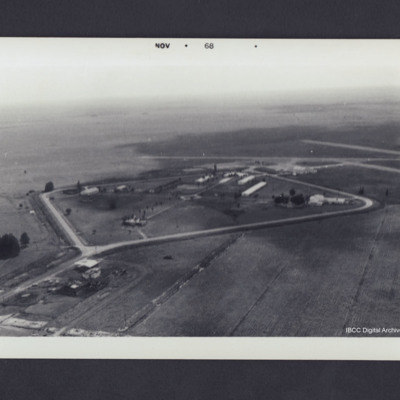
Clewiston airfield
Oblique aerial photograph showing buildings surrounded by diamond shaped pattern of roads with airfield in the middle distance on the right. Photograph dated on front Nov 1968. On the reverse 'Clewiston, 1968 looking SSE'.
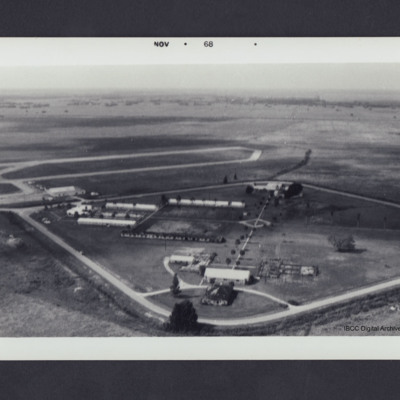
Clewiston airfield
Buildings inside a diamond shaped pattern of roads with airfield in middle distance left. Photograph dated on front Nov 1968. On the reverse 'Clewiston, 1968 looking WSW'.
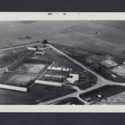
Clewiston
Buildings inside a diamond shaped pattern of roads. Photo dated on front Nov 1968. On the reverse 'Clewiston, 1968'.
Cologne
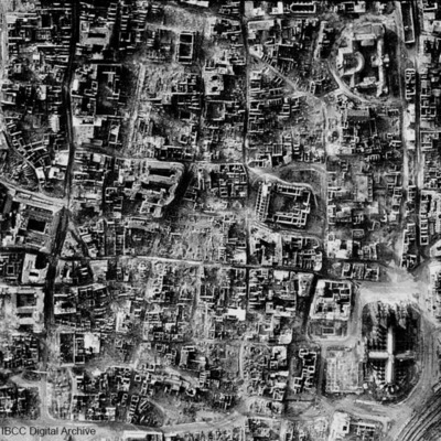
A vertical photograph taken of the destruction of Cologne. Almost every building has been destroyed. The cathedral is in the bottom right corner. Submitted with caption: 'The results of bombing on the centre of the German city of Cologne, February…
Piave/Susegana
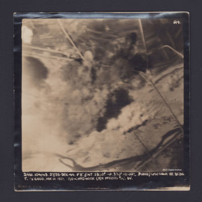
Target photograph showing river along the bottom and roads with bomb explosions in the centre. Captioned '2461.104/43, 27/28 Dec 44, F8".//NT 5300' →, 330 degrees, 18.02, Piave/Susegana RR, BF,DG, T., [ ] x 4000 Mk III, 15 1/2, F/O Chadwick (F/O…
London
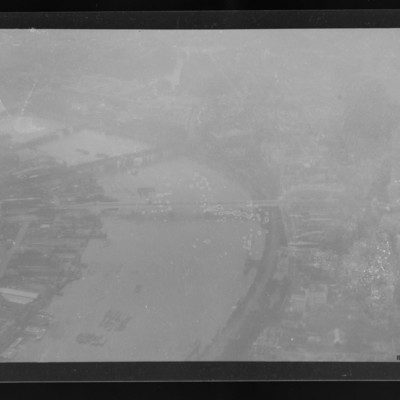
Air to ground view of the Thames and four bridges including Waterloo Bridge. Somerset House and the Strand bottom right.
Tags: aerial photograph
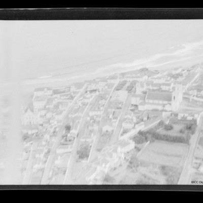
Praia da Vitoria
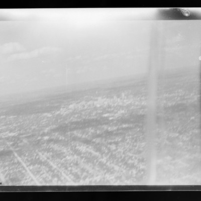
Air to ground view of a town with coast running left to right with sea beyond. Church middle right.
Tags: aerial photograph
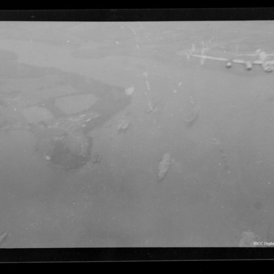
Lancaster over river Tamar estuary
Air-to-air view of Lancaster flying over river Tamar estuary, south of Saltash looking west up the Lynher river. Several ships below.
Tags: aerial photograph; Lancaster
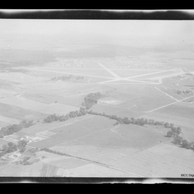
Scott Field
Air to ground view of Scott Field surrounded by open countryside.
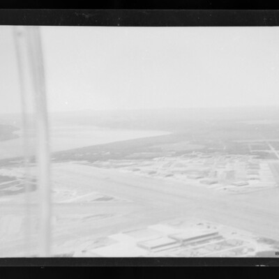
Gander Airfield
Air-to-ground view of Gander airfield looking south west . Main runway from mid left to bottom right. Hangars and other buildings below and above runway. Subsidiary runway on right River on left.
Tags: aerial photograph; runway
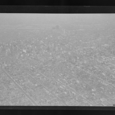
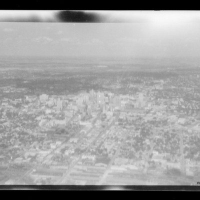
Los Angeles
City with many buildings and grid road structure. Taller buildings towards the top and LA river running right to left across the top. The dog legged road is W 8th St in the Westlake South area of the city.
Tags: aerial photograph
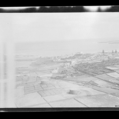
Praia da Vitoria
Open countryside in foreground. Coast running mid left to right. Small town towards right side with sea beyond.
Tags: aerial photograph
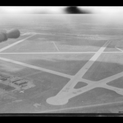
Kelly Field
Air to ground view of Kelly Field taken from turret. Barrel of gun visible top left. Hangars on the ground bottom left with aircraft parked on their right.
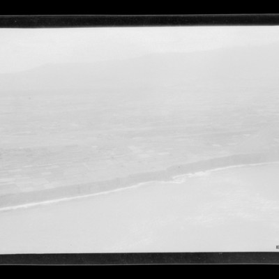
Coastline
Air to ground view of coastal low cliffs run bottom left to right with open countryside beyond.
Tags: aerial photograph

