Browse Items (1442 total)

  • Tags: aerial photograph

PPearceAT16030011.jpg
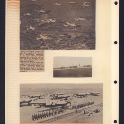
Top - newspaper cutting with photograph of air-to-air view of formation of 12 Lancasters from 35 Squadron over New York. Caption states that photograph shows them over East River and that they will fly on to St Louis.

Middle right - photograph of…

PPearceAT16030026.jpg
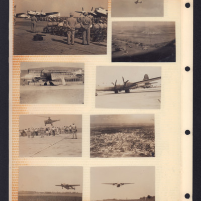
Top left - In the distance Lancasters in light paint scheme lined up parked on airfield with crews in front. In the foreground spectators seated. In front stand two military personnel with hands clasped behind backs looking on.
Top right above - an…

PEdgarAG19010040.jpg
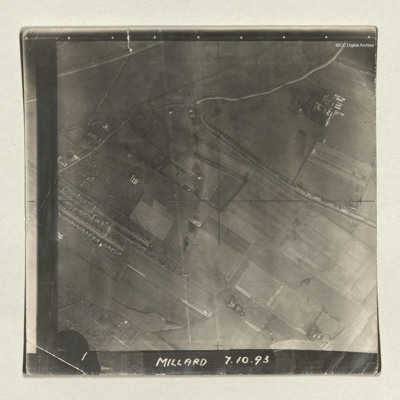
A sequence of three vertical aerial photographs of a dockyard area. The docks are at the edge of a River Ouse and running into this is the Dutch river. The images are captioned 'Millard 7.10.93' and '1, 2 and 3'. Millard is the bomb aimer.

PCothliffKB15100018.jpg
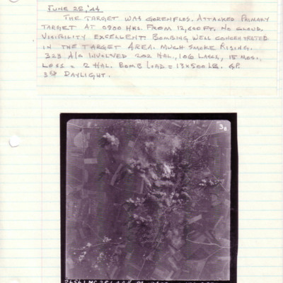
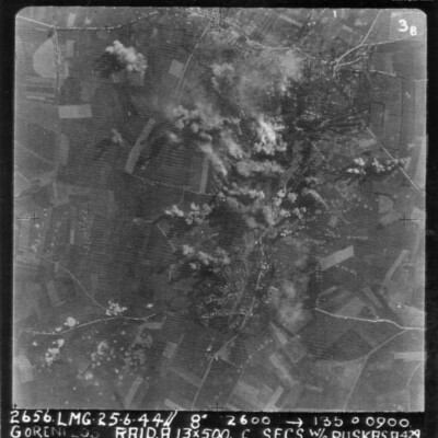
A vertical aerial photograph taken during an operation at Gorenflos. The centre of the image is obscured by explosions.
Above is captioned with details of the operation.
The photograph is captioned '2656.LMG.25.6.44// 8" 12600 -->135° 0900…

PCothliffKB15110041.jpg
A vertical aerial photograph of an attack on Gorenflos V-1 base. Rows of bomb craters and explosions can be seen.
The image is annotated '26565. LMG. 25.6.44// 8" 12600 --135° 0900 Goenflos Raid .A. 13x500 c secs W/O Puskas .A.429'

PCothliffKB1515.jpg
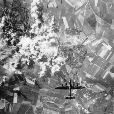
A vertical aerial photograph taken during a bombing operation. A Halifax is directly underneath heading towards a town. To the left of the town are numerous bomb explosions. Bomb craters can be see in the fields, some in lines and others in…

PCothliffKB15040040.jpg
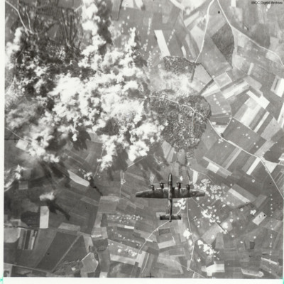
A vertical aerial photograph taken during a bombing run. Underneath is a Halifax. A town can be seen with many bomb craters. The left centre of the image is obscured by explosions.

PLovattP19140014.jpg
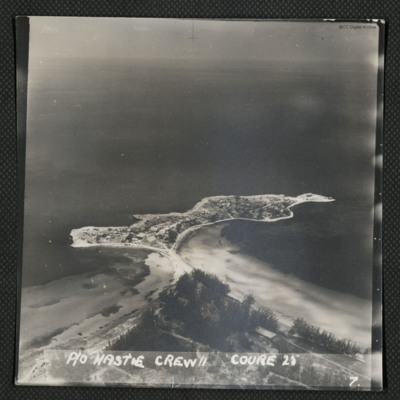
Oblique aerial photograph of small peninsula linked to the land by a narrow strip including a road. On the peninsula are numerous houses. Captioned 'P/O Hastie Crew II Course 25'.

Identification kindly provided by Frank Doerschner of the Finding…

PGouldS19080008.jpg
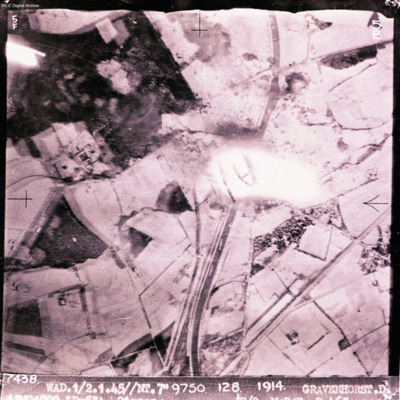
Target photograph showing canal running top to bottom with open countryside each side. Explosion in the centre. Captioned '7438 WAD/1/2.4.45//NT 7"9750 128 1914 GRAVENHORST.D'. Two versions of image.

PPearceAT16010091.jpg
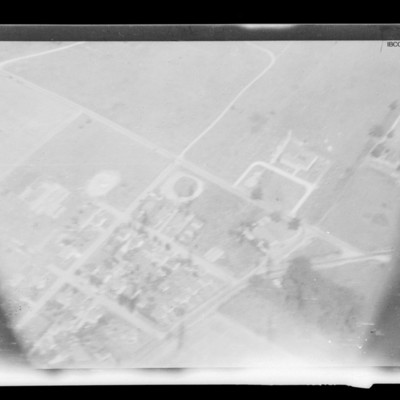
Air to ground view of roads in fields along the top and buildings bottom left.

PInwardJL2305.jpg
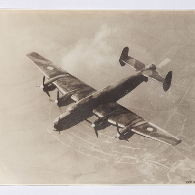
Air-to-air view of a Halifax flying with only starboard inner engine over a rural landscape. The aircraft is painted in camouflage colours and late 1942 roundels are on the wings and fuselage. The Rolls Royce Merlin engine spinners are painted white…

PThomasAF20040044.jpg
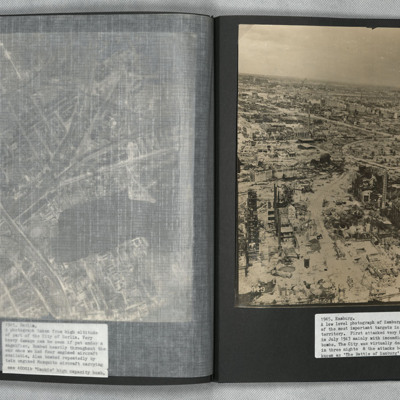
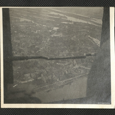
A low level aerial oblique photograph of Hamburg showing extensive bomb damage.

POldmanDA1803.jpg
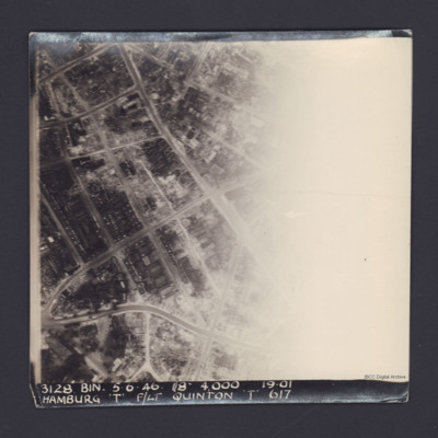
A vertical aerial photograph of Hamburg. The right half of the image is obscured by light.
It is captioned '3128 Bin 5.6.46 //8" 4000 19.01 Hamburg 'T' F/Lt Quinton 'T' 617'.
On the reverse 'On Loan P&R Darby Woodhall Spa'.

PLovattP1904.jpg
An oblique aerial photograph. Docks, warehouses and houses are visible.

Identification kindly provided by members of 'Finding the location WW1 & WW2' Facebook group.

PWrightJ1529.jpg
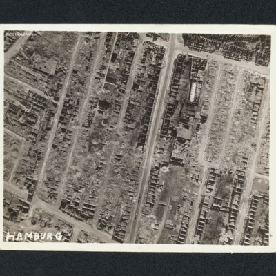
Vertical aerial photograph of Hamburg. Most of the buildings are destroyed with only shells remaining. Captioned 'Hamburg'.

PWrightJ1530.jpg
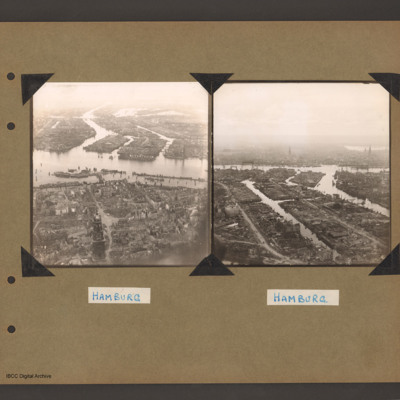
Oblique aerial photograph of Hamburg showing bombing damage. In the foreground are patches of trees and buildings that are not damaged. In the middle is the river and behind are the docks. Captioned 'Hamburg'.

PBanksP15010047.jpg
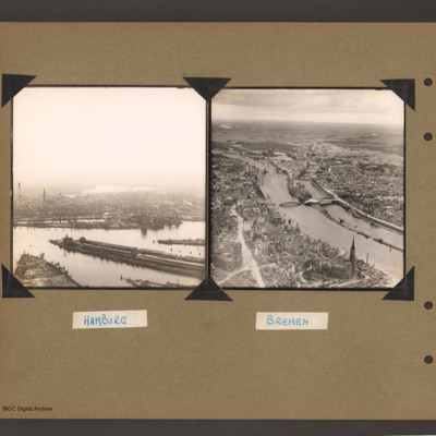
On the left an aerial inclined photograph of a city on two sides of a river. The river flows from centre right to left with three inlets leading to two waterways on the far side. The whole land area is covered with buildings with some in the…

PFOMetheringhamAF19020004.jpg
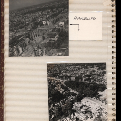
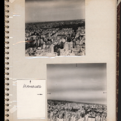
Top - oblique aerial photograph of a city with many damaged buildings. Captioned 'Hamburg'.
Bottom - oblique aerial photograph of a city showing park in centre and main roads running bottom right to left. Damaged buildings in foreground. Both…

PFOMetheringhamAF19020005.jpg
Top - oblique aerial photograph of a city showing damaged multi-storey buildings. Captioned 'Hamburg'.
Bottom - oblique aerial photograph of a city showing damaged multi-storey buildings at the bottom. Both submitted with description 'Oblique…

PBanksP15010048.jpg
On the left an aerial inclined photograph of a river with city on the far bank. At the bottom two waterways divided by a split of land lead up to a river which runs left to right. There are long low buildings on the spit of land. On the far bank to…

PThomasAF20040034.jpg
Photograph one is a low level oblique aerial view of Hamburg. The urban industrial and residential areas have considerable visible bomb and fire damage.
Photograph two is a Brownie Box camera view of Hamburg.
Photograph three is a low level oblique…

SWeirG19660703v100001-0019.jpg
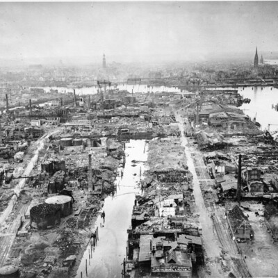
Oblique aerial photograph of Hamburg docks showing a destroyed port area with almost all buildings and facilities damaged. The spire of St Michels church is to left of centre and that of St Nikolai is to the right. In front of these, the large…

PJonesWC18020135.jpg
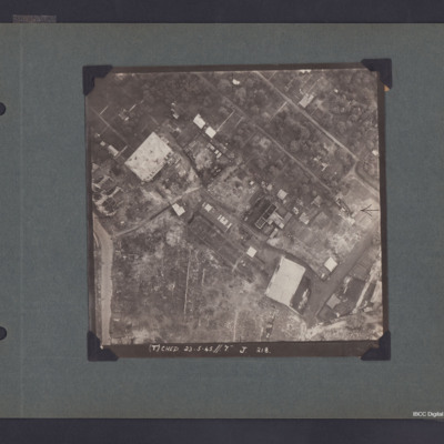
Vertical aerial photograph of part of Hamburg showing bomb damage. Two large buildings and some smaller ones remain standing while most have been either destroyed completely or gutted. The upper, right area appears to be residential, though few…

PBanksP15010035.jpg
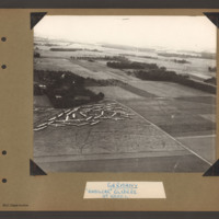
Aerial inclined photograph showing open countryside with fields, woods and occasional buildings. In the bottom left is a field containing a large number of gliders gathered and parked close together in a corner at the far end. There are a number of…

PKentKD17010032.jpg
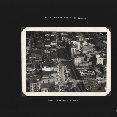
Built up area showing mixture of buildings arranged around grid pattern streets. Captioned 'Hamilton Main Street.' and 'Still in the Anson at 300feet'.
Output Formats

atom, dc-rdf, dcmes-xml, json, omeka-xml, rss2