Browse Items (1442 total)
- Tags: aerial photograph
Sort by:
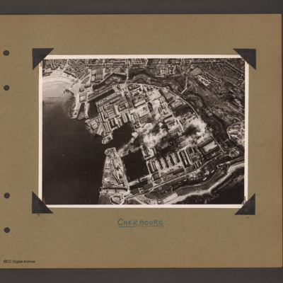
Cherbourg Docks
Aerial inclined photograph showing docks surrounded by town. To the left open sea with beach at the top. In the centre three interconnected dock basins, the bottom left one with a divider, surrounded by dockyard buildings and installations. A series…
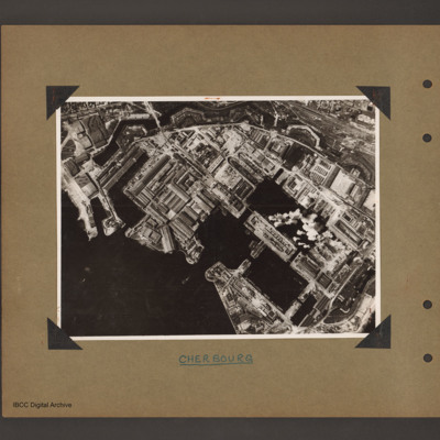
Cherbourg docks
Aerial vertical photograph of docks. To the bottom left open sea. In the centre two interconnected dock basins the bottom one is divided into three by cross piers. There is a further basin above and to the left. All basins are surrounded by dockyard…
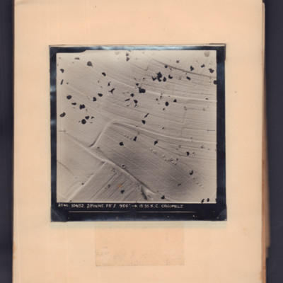
Črnomelj
Target photograph showing snow-covered open countryside with parachute shadows. Captioned '2540, 104/52, 2 Feb 45, F8, 950 ft,→ 15.35, K.C. Crnomelj'.
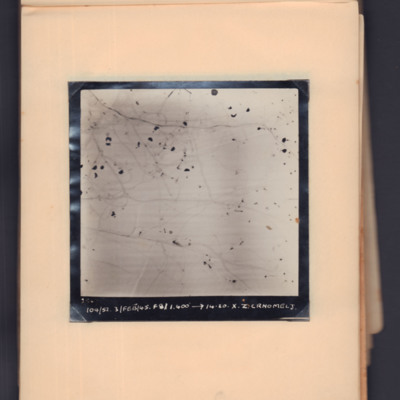
Črnomelj
Target photograph showing snow-covered open countryside with parachute shadows. Captioned '2547 104/52, 3 Feb 45, 1400 ft, →14.20, X.Z, Crnomelj'.
Črnomelj
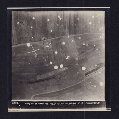
Daylight vertical aerial photograph of a supply drop atČrnomelj. Detail is very clear and numeroous parachutes can be seen descending and landing in the fields. The photo is captioned:2702 104/74 14-MAR-45. F8".//1700'.→ 14.34. C.P. CRNOMELJThe…
Circhina supply drop
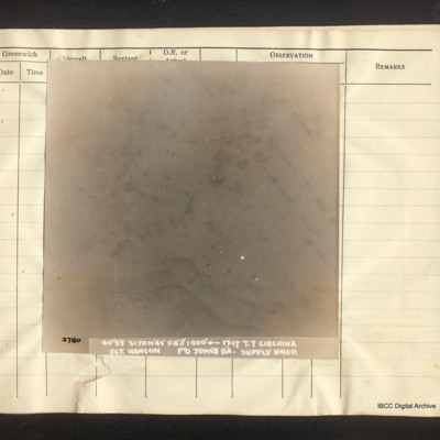
Vertial aerial photograph of Circhina. Snow-covered terrain, scattered trees and a river are visible on the image. Captioned '2780 40'55 21 Jan '45 F8"//1400° [arrow] 17.17 T.T. Circhina Supply Drop. Sgt Hanson P/O Jones B'A.
Civilian life
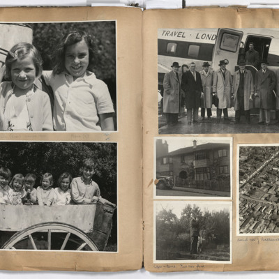
Left page: top two girls, annotated 'Hilly (6) Fiona (7)'.
Bottom; six children sat in a cart.
Right page: top, a group of seven men standing alongside an aircraft with a man standing in its open doorway, annotated 'Bob was engaged in charter…
Bottom; six children sat in a cart.
Right page: top, a group of seven men standing alongside an aircraft with a man standing in its open doorway, annotated 'Bob was engaged in charter…
Tags: aerial photograph; aircrew; pilot
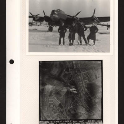
Clearing snow and Joigny-la-Roche
Top - four airmen, two wearing greatcoats, one battledress and one flying jacket, two with shovels, standing in line in snow in front of a Lancaster. Other aircraft parked in the distance behind. Submitted with description 'Clearing snow, RAF…
Clewiston
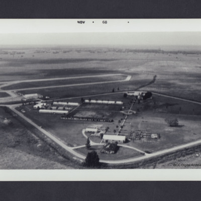
Buildings inside a diamond shaped pattern of roads. Photo dated on front Nov 1968. On the reverse 'Clewiston, 1968'.
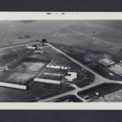
Clewiston airfield
Oblique aerial photograph showing buildings surrounded by diamond shaped pattern of roads with airfield in the middle distance on the right. Photograph dated on front Nov 1968. On the reverse 'Clewiston, 1968 looking SSE'.
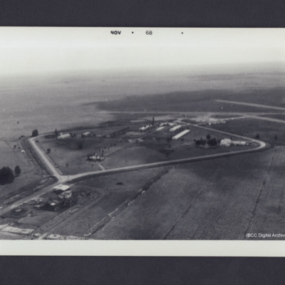
Clewiston airfield
Buildings inside a diamond shaped pattern of roads with airfield in middle distance left. Photograph dated on front Nov 1968. On the reverse 'Clewiston, 1968 looking WSW'.
Cloud formations
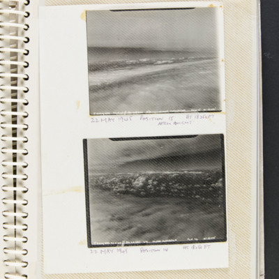
Two aerial photographs of cloud formations.
Top, captioned ' T2017 STD 22.5.45 // A/C LG 380 6 3/8 CLOUD FORMATION POST 15 HT 18250' and 22 May 1945 position is HT 18,250 Ft approx. 1600 GMT'.
Bottom captioned 'T2019 STD 22.5.45 // A/C LG 380 6…
Top, captioned ' T2017 STD 22.5.45 // A/C LG 380 6 3/8 CLOUD FORMATION POST 15 HT 18250' and 22 May 1945 position is HT 18,250 Ft approx. 1600 GMT'.
Bottom captioned 'T2019 STD 22.5.45 // A/C LG 380 6…
Tags: 517 Squadron; aerial photograph
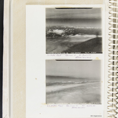
Cloud formations
Two aerial photographs of cloud formations. Top, captioned 'T2018 STD 22.5.45 // A/C LC 380 6 3/8 CLOUD FORMATION POST 15 HT 18250' and '22 May 1945 position is HT 18,250 Ft approx. 1600 GMT'.
Bottom captioned 'T2017 STD 22.5.45 // A/C LC 380 6 /38…
Bottom captioned 'T2017 STD 22.5.45 // A/C LC 380 6 /38…
Tags: 517 Squadron; aerial photograph
Coastal bombing
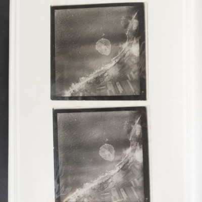
Two almost identical target photographs showing the sea to the upper left and the coast and fields to the lower right. There are several bomb craters along the dunes and one in a field. There is also the splash from a bomb impact in the sea. There is…
Coastline
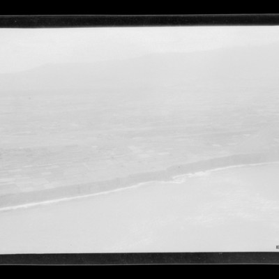
Air to ground view of coastal low cliffs run bottom left to right with open countryside beyond.
Tags: aerial photograph
Coastline
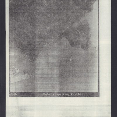
Target photograph of an unidentified target, coastline and built-up area. Captioned '3026 D/490.542 SQDN 4 May 43 F/20→'.
Coastline near Wick
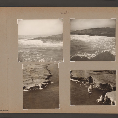
Top left view of waves breaking on rocky shore.
Top right coastal view of waves breaking against shore at the top. Near shore at the bottom.
Bottom left aerial inclined photograph of shore line with cliffs. Open sea to right and below. Road…
Top right coastal view of waves breaking against shore at the top. Near shore at the bottom.
Bottom left aerial inclined photograph of shore line with cliffs. Open sea to right and below. Road…
Tags: aerial photograph
Coblenz
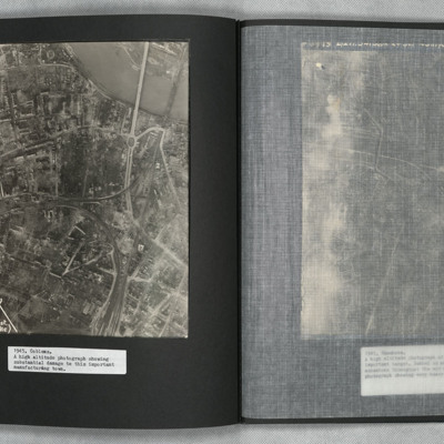
A vertical aerial photograph of Koblenz in early 1945 showing widespread damage to buildings with large areas completely destroyed. Bomb craters can be seen in several places. A railway marshalling yard is to centre left and the railway lines then…
Cologne
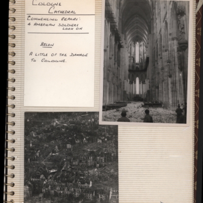
Top - view inside a cathedral with rubble on floor and head and shoulders of three men at the bottom. Captioned 'Cologne Cathedral, commencing repairs, 4 America soldiers look on'. Submitted with description 'Interior of Cologne Cathedral, showing…
Tags: aerial photograph; bombing; Cook’s tour
Cologne
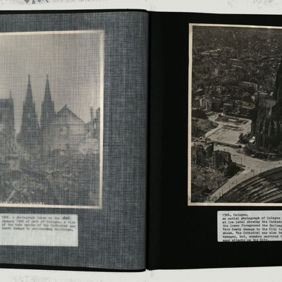
A low level oblique image centred on the cathedral, showing damage to every building in its vicinity.
Tags: aerial photograph; bombing
Cologne
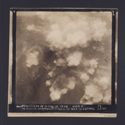
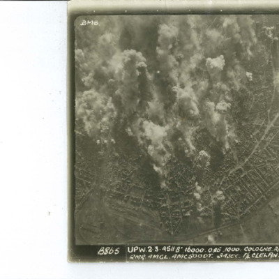
Target photograph for an operation to Cologne. It shows clouds of smoke rising up from several locations on the ground. Residential areas and roads are visible, as are some bomb craters in the fields. It is annotated '3B' and captioned:
'[…
'[…
Cologne
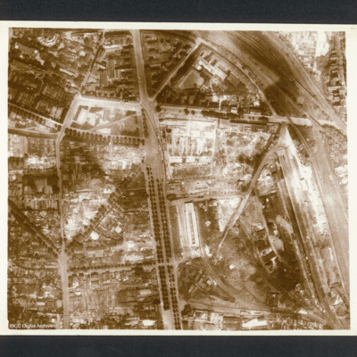
Reconnaissance photograph photograph of city centre with major road running top to bottom and railway lines on right side. Captioned in 1956 Memoir between pages 26-27 'Cologne after first 1,000 Bomber raid 1942'. On the reverse 'Cologne, C2550'.
Cologne
Target photograph of Cologne orientated with North to the bottom left. The railway complex Koln-Neustadt-Nord is in the bottom left corner and the square outline of the lake known as Aachener Weiher is in the bottom right. The River Rhine and…

