Browse Items (395 total)
- Collection: Cheshire, Leonard
Sort by:
Wizernes
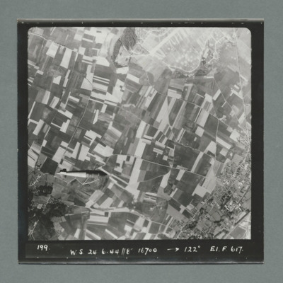
Sequence of six target photographs taken from the same aircraft at intervals during drop of tallboy. In the first image the bomb is visible in the bottom left quadrant, slightly further to the right in the second and in the third. The town bottom…
Wizernes
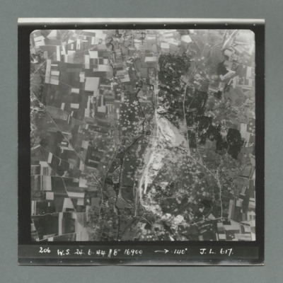
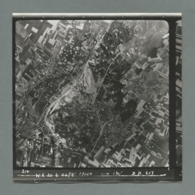
Sequence of two target photographs taken at intervals from the same aircraft. Shows open countryside with fields. In the centre of first image is an area with a large number of craters. This area is on the left in the second image. Caption 'sequence…
Wizernes
Sequence of two target photographs taken at intervals from the same aircraft. Showing open countryside with fields. The is an area with large number of craters just left of centre of first image which moves to upper left in the second. Caption…
Wizernes
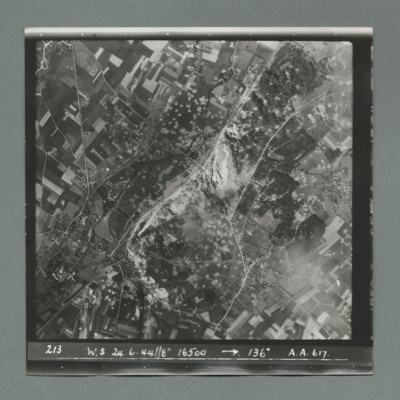
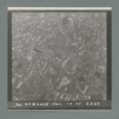
Target photograph showing open countryside with fields and roads. In the centre an area with a large number of craters. Caption '213, W.S, 24.6.44, 8", 16500, 136 degrees, A., A., 617'. On the reverse '51:96/14'.
Wizernes
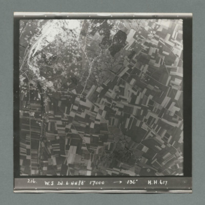
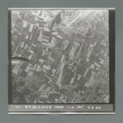
Target photograph showing open countryside with fields and roads. In the top left an are with large number of craters. Caption '216, W.S., 24.6.44, 8", 17000, 136 degrees, H., H., 617'. On the reverse '51:06/15'.
Wizernes
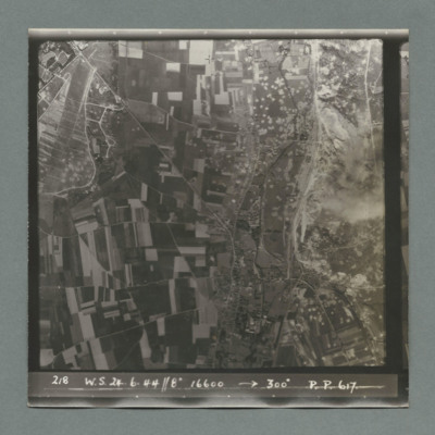
Sequence of two target photographs taken at intervals from the same aircraft. Show open countryside with fields and roads. Large area with many craters top left in first image moving to centre in second. Caption 'sequence number, W.S., 24.6.44, 8",…
Wizernes
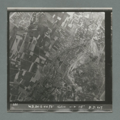
Target photograph showing open countryside with fields and roads. Bottom right quadrant is a large area with many craters. Caption '221, W.S., 24.6.44, 8", 16500, 115 degrees, D., D., 617'. On the reverse '51:96/18'.
Wizernes
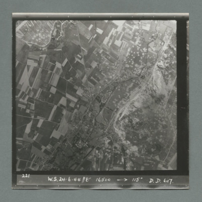
Target photograph showing open countryside with fields and roads. Bottom right quadrant is a large area with many craters. Caption '221, W.S., 24.6.44, 8", 16500, 115 degrees, D., D., 617'. On the reverse '51:96/18'.
Wizernes
Sequence of five target photographs taken at intervals from the same aircraft. All show open countryside with fields and roads. The nose of the bomb is visible on left edge centre in first image and further right in the second. A large area with many…
Wizernes
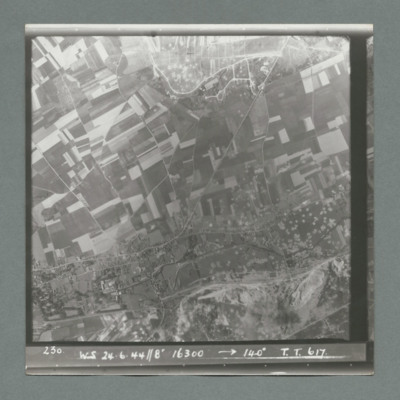
Target photograph showing open countryside with fields and roads. Centre right is a large area with many craters. Caption '230, WS, 24.6.44, 8", 16300, 140 degrees, T., T., 617'. On the reverse '51:96/24'.
Wizernes
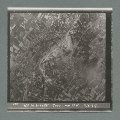
Target photograph showing open countryside with fields and roads. In the centre a large area with many craters. Caption '238, W.S., 24.6.44, 8", 17000, 124 degrees, Y., Y., 617'. On the reverse '51:96/25'.
Wizernes
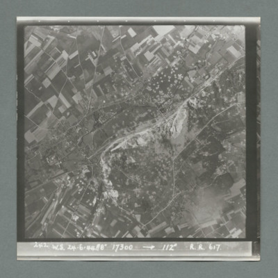
Target photograph showing open countryside with fields and roads. In the centre is a large area with many craters. Caption '242, W.S., 24.6.44, 8", 17300, 1`12 degrees, R., R., 617'. On the reverse '51:96/26'.
Wizernes
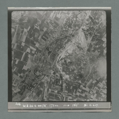
Target photograph showing open countryside with fields and roads. In the centre a large area with many craters. Caption '246, W.S., 24.6.44, 8", 17200, 150 degrees, B1, O, 617'. On the reverse '51:96/28'.
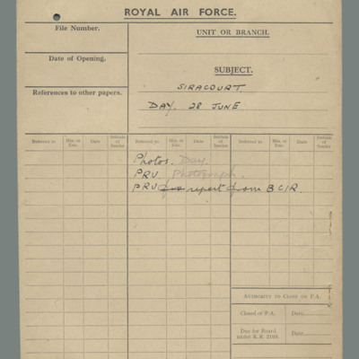
Royal Air Force file cover - Siracourt, day, 28 June
Buff file cover. Contents: photos day, Photographic Reconnaissance Unit photographs, PRU report from BCIR.
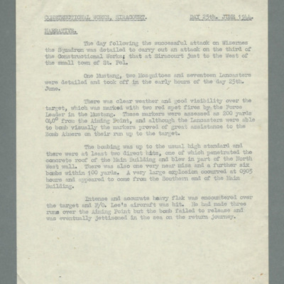
Constructional works, Siracourt, day 25th June 1944, narrative
States that squadron was detailed to attack third constructional site at Sirancourt just to the west of St Pol. One P-51, two Mosquitos and 17 Lancasters took off for attack. Reports clear weather and good target marking. Aircraft bombed visually to…
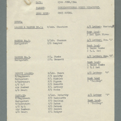
Crew list for Siracourt operation
Date 25 June 1944, target, zero hour 0905 hours.Lists leader and marker 1 in P51, two more markers in Mosquito and 17 crews in Lancaster carrying tallboy bombs.
Siracourt & Wizernes
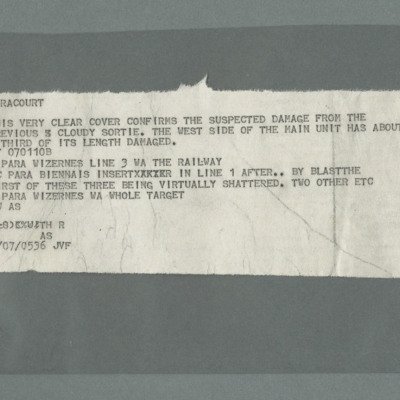
Note. 'SIRACOURT. THIS PREVIOUS CLEAR COVER CONFIRMS THE SUSPECTED DAMAGE FROM PREVIOUS AND CLOUDY SORTIE. THE WEST SIDE OF THE MAIN UNIT HAS ABOUT A THIRD OF ITS LENGTH DAMAGED. BT 070110B, C PARA WIZERNES LINWE 3 WA THE RAILWAY, VC PARA BIENNA IS…
Siracourt
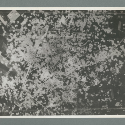
Reconnaissance photograph showing area completely covered by many craters. On thew reverse 'Date 11.7.44, Unit WS, Neg No. G109'
Siracourt
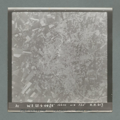
Target photograph showing open countryside with fields virtually covered with craters. Caption '311, W.S., 25.6.44, 8", 16600, 120 degrees, H., H., 617'. At the bottom 'F/Lt Clayton, 1 12000, 0905 hrs'. On the reverse '51:97/17'.
Siracourt
Series of three target photographs taken at intervals from the same aircraft. First image shows open countryside with fields. Target area with large number of craters is bottom right and this moves to centre in subsequent images. Caption 'sequnce…
Siracourt
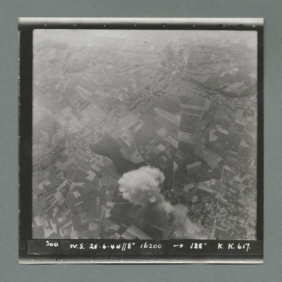
Sequence of two target photographs taken at intervals from the same aircraft. First image shows open countryside with fields and smoke from explosion bottom centre. Target area with many craters is bottom right. Second image shows target area on the…
Siracourt
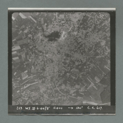
Target photograph showing open countryside with fields. The whole area is covered in craters. Caption '283, W.S., 25.6.44, 8", 16400, 134 degrees, C., C., 617'. On the bottom 'F/O Standford 1 x 12000, [...] hrs'. On the reverse '51:97/11'.
Siracourt
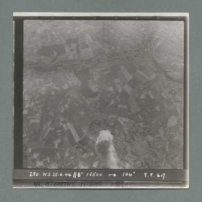
Target photograph showing open countryside with fields. There is smoke from explosion middle bottom. Caption '280, W.S., 25.6.44, 8", 18500, 104 degrees, Y., Y., 617'. On the bottom 'S/L McCarthy 1 x 12000, 0909 hrs'. On the reverse '512:97/10'.
Siracourt
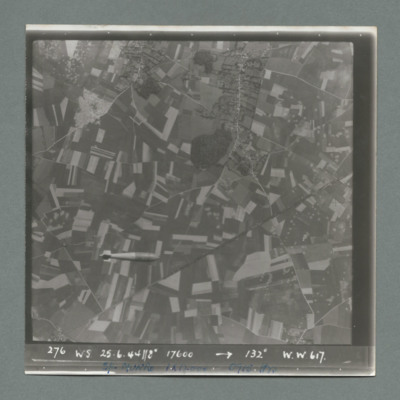
Sequence of two target photographs taken at intervals from the same aircraft. Both show open countryside with fields. In the first image a tallboy is visible bottom left. In the second, there is an area with many craters bottom right and smoke from…
Siracourt
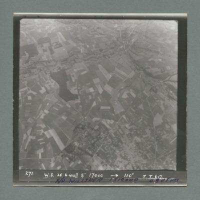
Target photograph showing open countryside with fields. There is an area covered with craters bottom centre to right. Caption '271, W.S., 25.6.44, 8", 17000, 110 degrees, T., T., 617'. On the bottom F/O Willsher, 1 x 12000, 0905 hrs'. On the reverse…

