Browse Items (700 total)
- Conforms To is exactly "Geolocated"
Sort by:
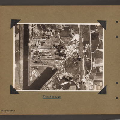
Zeebrugge Dock
Aerial vertical photograph of dock area. On the left a canal running vertically from top to bottom. At the bottom an inlet dock runs towards the centre. On the left side of the inlet six tanks and two small ships moored on jetties. Above the inlet…
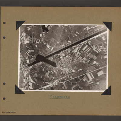
Zeebrugge
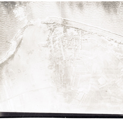
Aerial vertical photograph of canal and dock basin. A canal runs from top right to centre left. At the left end is a basin runing from the canal towards the bottom right. To the right of the basin is an industrial area. Below the industrial area…
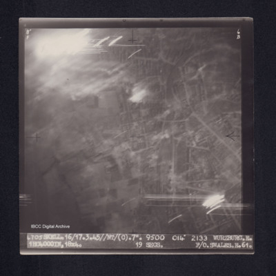
Wurzburg
Target photograph of Wurzburg. Urban area, some light streaks, no clear detail visible. Captioned '8°F', '6B', '4705 SKELL.16/17.3.45//NT/(C).7". 9500 014° 2133 WURZBURG.E. 1HC4000IN,18X4. 19secs. F/O.SWALES.E.61.' On the reverse ' F/O. SWALES.…
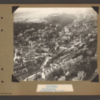
Wuppertal suspension railway
Oblique aerial photograph of Wuppertal with the suspension railway above and following the course of the river Wupper. The suspension railway runs from bottom left to top right. Above the river is a built up area amongst wooded hillside with open…
Tags: aerial photograph; bombing; Cook’s tour
Wuppertal
Oblique aerial photograph of city landscape with multistory buildings and roads. The Wuppertal suspension railway follows the course of the Wupper river from lower right. A railway runs from top left in a slight curve to right middle keeping to the…
Tags: aerial photograph; bombing; Cook’s tour
Winnipeg
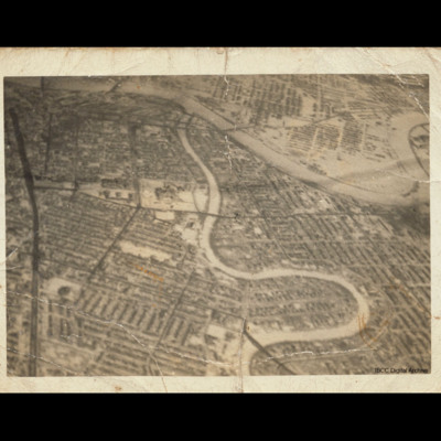
Oblique aerial photograph of central Winnipeg looking due east with the Red River meandering top left to middle right and the Assiniboine River meandering from bottom centre to top centre joining it. The Trans Canada Highway runs top left to bottom…
Tags: aerial photograph
Winnipeg
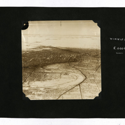
Four oblique aerial photographs.
Photo 1 and 2 are views of the snowy city, captioned 'Winnipeg 8,000 ft'.
Photo 3 is a view of houses, captioned 'Winnipeg 1,000' ft. There is also a ticket from the Winnipeg Electric Company.
Photo 4 is a snowy…
Photo 1 and 2 are views of the snowy city, captioned 'Winnipeg 8,000 ft'.
Photo 3 is a view of houses, captioned 'Winnipeg 1,000' ft. There is also a ticket from the Winnipeg Electric Company.
Photo 4 is a snowy…
Tags: aerial photograph; training
Wings of Peace over New York
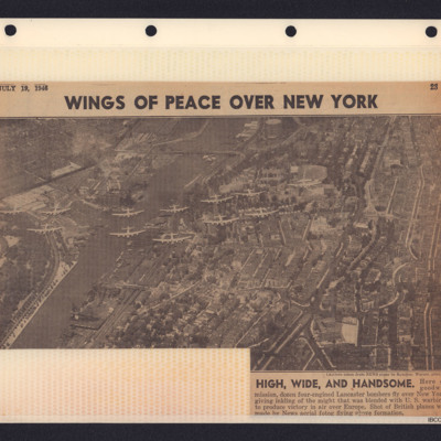
Newspaper cutting with photograph showing 12 Lancasters over New York City. 'High, Wide, and Handsome. Here on goodwill mission, dozen four-engined Lancaster bombers fly over New York giving inkling of the might that was blended with U.S. warbirds to…
Wilhelmshaven docks
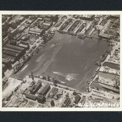
Oblique aerial photograph of a square dock area with several naval vessels. There are dry docks at the top. The majority of the workshop are undamaged. It is captioned 'Wilhemshaven' [sic].
Wilhelmshaven
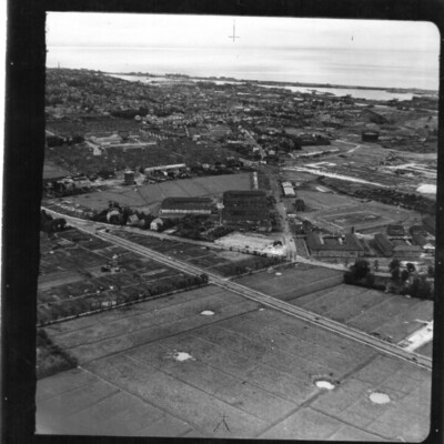
An oblique aerial photograph of a Wilhelmshaven. In the foreground are fields with bomb craters with Ebkeriege-Kaserne then the town behind. In the distance are docks with naval vessels and the North Sea.
Identification kindly provided by Andrew…
Identification kindly provided by Andrew…
Tags: aerial photograph
Wilhelmshaven
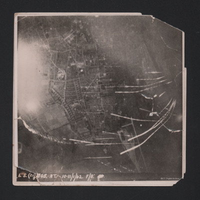
Target photograph showing built up area of Wilhelmshaven. Photograph is orientated with north to the left. Ems-Jade-Kanal is running from top to middle right of photograph. Railway goods yard towards bottom. Streaks of light and anti-aircraft fire…
Wilhelmshaven
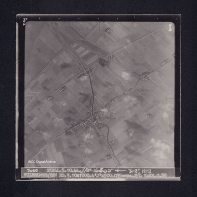
Target photograph of Caroliniensel and Harlesiel on the Harle river. Captioned '3°F', '5B', '3065 SKELL.5.10.44.//8" 16500' [arrow] 312° 1112 WILHELMSHAVEN RD.V.10X1000.4'J'X500.C35secs.F/L WAKE.C.50' On the reverse '[underlined] F/LT WAKE 5.10.44.…
Westkapelle
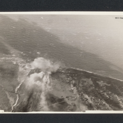
Target photograph of a coastline running from bottom right to centre left then bottom left. There is a bomb explosion centre left.
Westkapelle
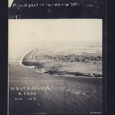
Photograph shows coastline with breached sea wall, captioned 'WESTKAPELLE K3300, Dist 23B, 0017 106G3369.18 Oct .44 F/8".115 Degrees'. Reverse, captioned 'Oblique Westkapelle Netherlands'.
Westkapelle
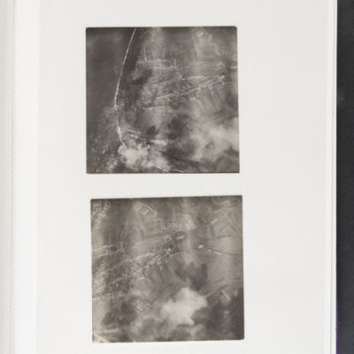
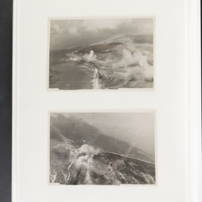
Top - coastline curving from top left to bottom centre. Some bomb explosions are visible bottom left on coast. Bottom - open ground with a built up area centre left. Bomb explosions bottom right quadrant.
Westkapelle
Top - coastline curving from top left to centre left and then bottom centre. Bomb explosions visible in centre just inland of coast. Bottom - coastline juts out from bottom to centre with bomb explosion on coastline at centre.
Tags: aerial photograph; bombing
Westkapelle
Three aerial photographs showing bomb craters and damage to the seawall. Much of the area is flooded. Houses and roads forming part of the village of Westkapelle are visible in the lower right corner of the main (topmost) photograph which is…
Tags: aerial photograph; bombing
Westkapelle
Reconnaissance photograph showing coast with breached sea wall. Town in centre.
West Capelle Dyk N
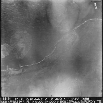
A vertical aerial photograph of the Westkapelle Dyke, Vlissingen. The coastline can be seen but little on the ground. annotated '1831 MEP 3.10.44// 8” 5,000 [arrow] 158[degrees] 1355. WEST CAPELLE DYK. N. 1 x 4000. 6x1000. 1x500.C 20 SECS. F/O…
West Bromwich
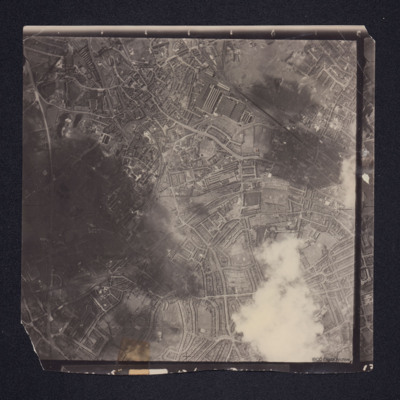
A vertical aerial photograph of West Bromwich. Canals and railway branches are clearly visible.
Identification kindly provided by Richard Evans of the Unidentified photos of the British Isles Group.
Identification kindly provided by Richard Evans of the Unidentified photos of the British Isles Group.
Tags: aerial photograph
Wesel Cooks tour
Oblique aerial photograph of a city with much bomb damage. Submitted with caption 'Wesel Cooks tour'. Willibrordi Cathedral is to far left centre.
Tags: aerial photograph; bombing; Cook’s tour
Wesel
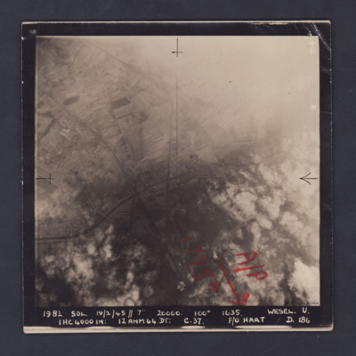
A vertical aerial photograph of Wesel, orientated with south to the top. Wesel is not covered by the photograph but lies below the bottom edge. However, the Wesel-Datteln Kanal is clearly visible, cutting across the middle of the frame, as are the…
Wesel
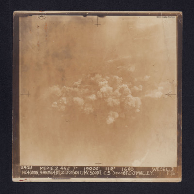
Target photograph of Wesel. Some roads and railway tracks can be seen in the upper half while at the centre there are several plumes of smoke. The whole area is covered by thin cloud.
It is captioned: "2952 MEP. 16.2.45//7" 19,000' 112º 1600 WESEL.…
It is captioned: "2952 MEP. 16.2.45//7" 19,000' 112º 1600 WESEL.…
Wesel
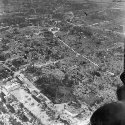
An oblique aerial photograph, just catching the starboard engines of the aircraft, is labelled as Wesel, showing almost total destruction of buildings. The prominent building top middle is Berliner Tor. The cleared road leading to it and around it,…
Tags: aerial photograph; bombing; Cook’s tour

