Browse Items (680 total)
- Conforms To is exactly "Geolocated"
Sort by:
Tirpitz
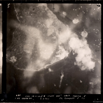
A vertical aerial photograph of the bombing of the Tirpitz. Much of the image is obscured by smoke and explosions. Tirpitz can be seen right of centre. Anti-aircraft fire can be seen to the top of the photograph. Three bomb explosions in the water…
Tirpitz
Target photograph showing shoreline, with smoke obscuring the island of Hakøya within Tromsø fjord. Battleship Tirpitz can be seen just right of centre through smoke. Three water-spouts from earlier explosions above and to the right. Anti-aircraft…
Tirlemont airfield
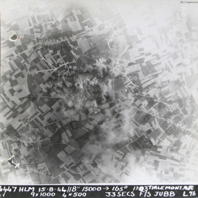
Target photograph taken during daylight attack on Tirlemont (Goetsenhoven) airfield. Patchwork of fields with aircraft dispersal hardstands to left and right of explosions and smoke centred on airfield itself. Village of Bost is to the bottom left…
Three Shackletons over Odiham
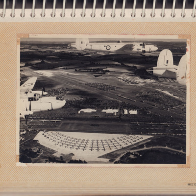
Air-to-air view of three white Shackletons flying over an airshow for the Queen's Coronation. On the ground are large numbers of aircraft, people and parked cars.
Tags: aerial photograph; RAF Odiham; Shackleton
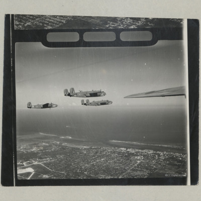
Three B-25 Mitchells in Flight
An air to air photograph of the starboard sides of three B-25 Mitchells Mk II from 111 OTU (Coastal Command) in flight over Nassau.
Tags: aerial photograph; B-25
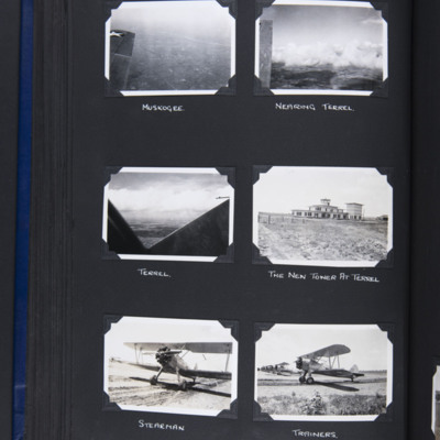
The Terrel trip
Top left - oblique aerial photograph of a town with river running middle right to top right. On the left part of an aircraft wing. Captioned 'Muskogee' on the reverse 'Muskogee'.
Top right - oblique aerial photograph of open countryside with…
Top right - oblique aerial photograph of open countryside with…
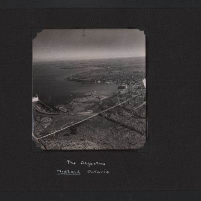
The Objective Midland Ontario
High angle aerial oblique photograph of Midland Ontario. It is on the lakeside and on the left can be seen grain elevators. In the middle and right an industrial area with a large building and docks. Behind this is an urban area.
Tags: aerial photograph; training
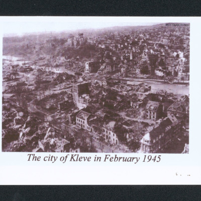
The city of Kleve in February 1945
Oblique aerial of a damaged city. In the centre is a river and a low hill. In the distance are undamaged buildings. Captioned 'The city of Kleve in February 1945'.
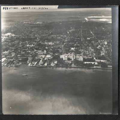
The British Colonial Hotel, Nassau
An oblique aerial photograph of the centre of Nassau with the British Colonial Hotel in the centre. It is captioned 'F/S Stuart Crew 9 . C21 . 30/3/44'
Tags: aerial photograph
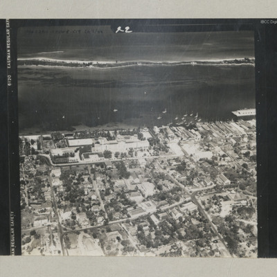
The British Colonial Hotel
An oblique aerial photograph of the hotel looking out to sea.
it is annotated 'P/O Craig Crew 4 C19 26/2/44'.
it is annotated 'P/O Craig Crew 4 C19 26/2/44'.
Tags: aerial photograph
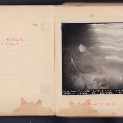
Terni Roads
A vertical aerial photograph taken during an operation. Underneath is written "Top Notcher".
It is captioned '1331.Fog. 9/10 June 44. // NY. 8" 7,400' -> 040° 0243. Terni. Y. 5x500. P7. Sgt. Bird/ E. 104.'
It is captioned '1331.Fog. 9/10 June 44. // NY. 8" 7,400' -> 040° 0243. Terni. Y. 5x500. P7. Sgt. Bird/ E. 104.'
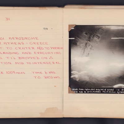
Tatoi
A target photograph taken during an operation to Tatoi Aerodrome, near Athens, Greece. The lower half of the image is obscured by light but hangars and buildings can be seen at the top. The photograph is annotated 'A4' in the top left corner and is…
Targets and A&AEE Boscombe Down
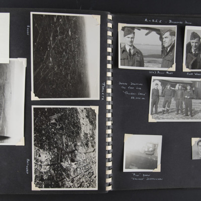
Left page title 'Targets'
Top left - a note 'got to here'. Top right - an aerial oblique view of a city-scape with some large buildings and some damage visible. Captioned 'Essen' on the reverse 'Essen'.
Middle - an aerial oblique view of a…
Top left - a note 'got to here'. Top right - an aerial oblique view of a city-scape with some large buildings and some damage visible. Captioned 'Essen' on the reverse 'Essen'.
Middle - an aerial oblique view of a…
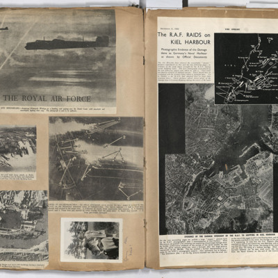
Targets
Left page: top, two flying Whitley aircraft passing over the Dutch coast.
Middle left, aerial view of Hamburg docks.
Middle right, bombing targets and fires in Gelsenkirchen.
Bottom left, bombing of Boulogne harbour.
Bottom right, a woman…
Middle left, aerial view of Hamburg docks.
Middle right, bombing targets and fires in Gelsenkirchen.
Bottom left, bombing of Boulogne harbour.
Bottom right, a woman…
Target Photos, Alghero and Pantelleria
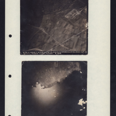
Photo 1 is Alghero, Italy taken at 3000'. It shows a rectangular compound, fields and roads. Caption: '4.Y2.F-CHAUD.17-18.5.43.NT.F8". P4.SGT.RUTHERFORD.ALGERO.3000'.190→180MPH.7x500.2xSBCS.2x250. F.150.'
Photo 2 is Pantelleria taken from 7000'…
Photo 2 is Pantelleria taken from 7000'…
Tankers off Saipan
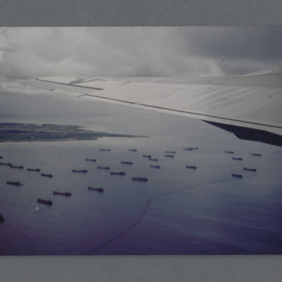
Air to ground view of many ships anchored off an island. On the reverse 'Tankers off Saipan Aug 45' but not in Group Captain Leonard Cheshire's writing. Circa 1980s reprint of a 1945 colour photograph probably taken from B-29 Enola Gay. Additional…
Tags: B-29
Taj Mahal
An oblique aerial photograph of the Taj Mahal taken from an Avro York.
Tags: aerial photograph; York
Szombathely
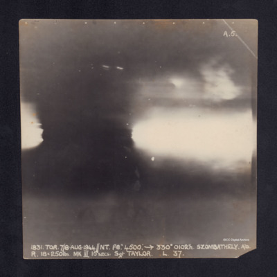
A vertical aerial photograph taken during the bombing of Szombathely. No detail is visible due to anti-aircraft explosions. It is captioned '1831.TOR.7/8 AUG.1944//NT.F8". 4500: ->330°0102½.Szombathely.A/D
R.18x250lbs.MKIII 15secs.Sgt…
R.18x250lbs.MKIII 15secs.Sgt…
Szombathely
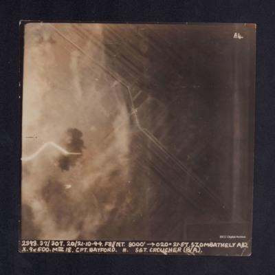
A vertical aerial photograph taken during the bombing of Szombathely aerodrome. The left side of the image is obscured by explosions and smoke. It is captioned ' 2393. 37/307. 20/21.10.44. F8//NT.8000' -->020°. 21.57.Szombathely A/D. X. 9x500. MkIII…
Szombathely
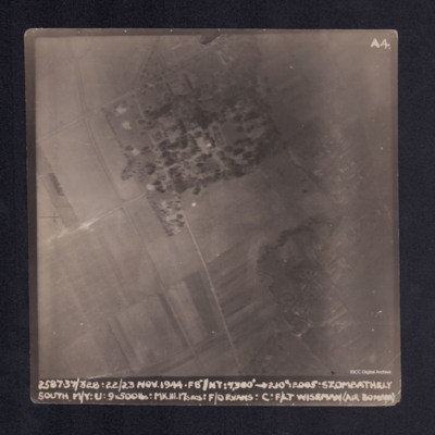
A vertical aerial photograph taken during the bombing of Szombathely South marshalling yard. Fields and a wood are visible with connecting grid of road. It is captioned ' 2. 37/328. 22/23 NOV.44. F8"//NT.7300' -->210°. 2005 . Szombathely South M/Y.…
Szekesfehervar
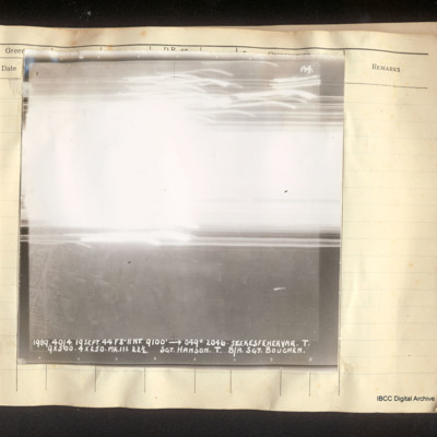
Vertical aerial photograph of Szekesfehervar. In the lower half some street detail is visible but all of the top half is obscured by bright light and tracers. Captioned 'A4 1989 40/4. 19 Sept 44 F8"//NT. 9100' [arrow] 049°. 2046. Szekesfehervar.T.…
Stettin
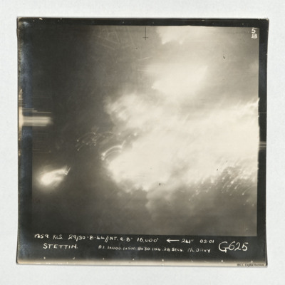
A vertical aerial photograph taken during an operation at Stettin. Much of the image is obscured by light and explosions but there are street patterns visible at the top. It is captioned '1359 KLS 29/30-8-44//NT C. 8" 16,000'
Stettin
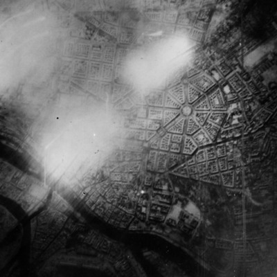
Reconnaissance photograph of Stettin. Urban area shown with the Centrum being clearly visible right of centre with roads radiating out. The West Oder river is to the middle left to bottom right of the photograph and parkland lower right above the…
Sterkrade and Hannover
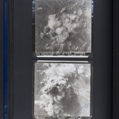
Top - target photograph showing smoke from bomb explosions in centre with some built up area to top left. Captioned '3737 LSGN 24.3.45 Y 18000' ISO 13.19.18 STERKRADE E, 18MC500DT, C34SECS, F/O QUINE. H. 582'.
Bottom - target photograph showing…
Bottom - target photograph showing…

