Browse Items (1442 total)

  • Tags: aerial photograph

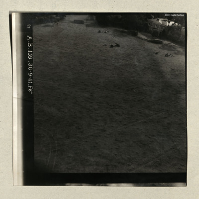
PDentonDH20047.jpg
Three photographs, all low level, the first flying over large flat area, large two story house on the right, with three field guns and limbers dispersed in front, captioned '21 A.B. 139. 30.9.41. F8" '.
Second is at sea, small group of ships in the…

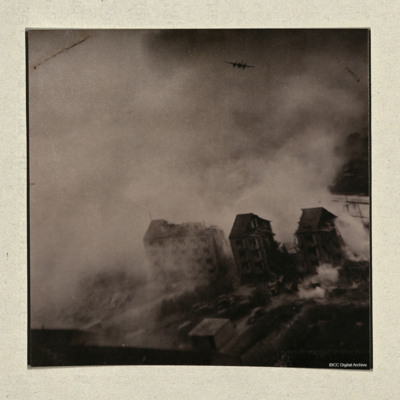
PDentonDH20045.jpg
Most of area obscured by smoke and dust, two badly damaged buildings in the foreground, attacking Mosquito in distance. On the reverse 'Taken by Sid Moulds over the target 'Aarhus University Gestapo Headquarters raid 31 October 1944.'

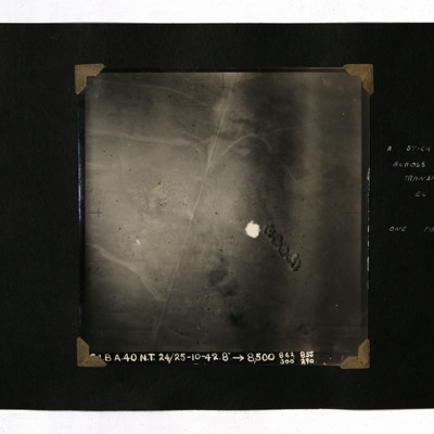
PSaundersEJ20010087.jpg
A vertical aerial photograph of bombing in the desert. It is captioned '[indecipherable] BA.40 NT 24/25-10-42. 8" -->8,500 862 300 855 290' and annotated 'A stick of bombs across enemy transport at El Alamein. One fire under way'.

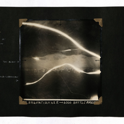
PSaundersEJ20010088.jpg
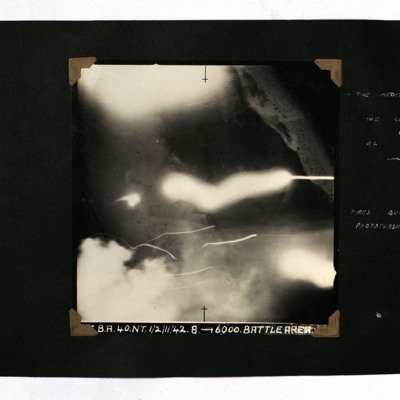
A vertical aerial photograph of the coast at El Alamein. Two tracer lights cross the photo. It is captioned 'BA. 40. NT 1/2 /11/42 8" --> 6000. Battle Area' and annotated 'The Beach' and 'The Mediterranean', identifying bands of light and dark.

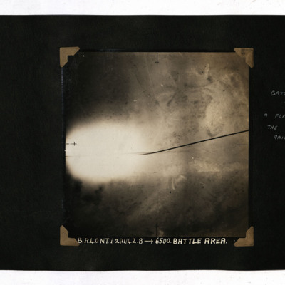
PSaundersEJ20010089.jpg
A vertical aerial photograph of the battle area at El Alamein. Much of the detail is obscured by a flash. It is captioned 'B.A.40 NT 1/2/11/42.8-->6500.Battle Area' and annotated 'Battle Area. A flash illuminates the road and railway'.

PSaundersEJ20010090.jpg
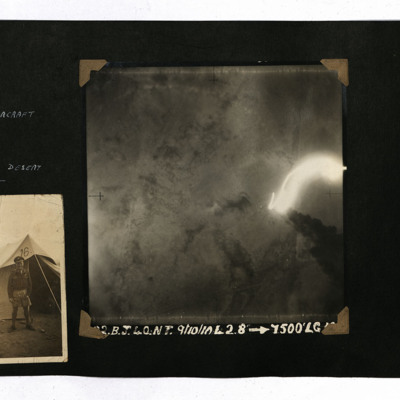
Two photographs from an album.
A vertical aerial photograph of a burning aircraft at LG 18, Western Desert. It is captioned 'BJ 40.NT 9/10 /10/42 8" --> 7500' LG18'.
Photo 2 is an airman standing outside a tent.

PSaundersEJ20010091.jpg
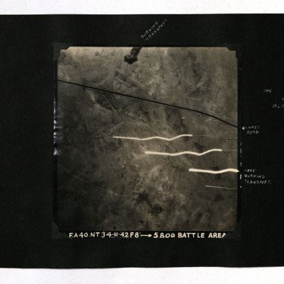
A vertical aerial photograph of the battle of Alamein. A road is visible and low hills. It is captioned 'FA.40.NT/ 3/4/11/42 f 8" --> 5800' Battle Area' and annotated 'Burning transport', 'Coast Road' and 'More Burning Transport'.

PSaundersEJ20010092.jpg
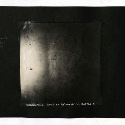
A vertical aerial photograph of the Western Desert. It is captioned 'BA.40.NT.29/30-10-42. F8" --> 6000' Battle Area' and annotated 'The 15th Panzer division at El Alamein'.

PSaundersEJ20010093.jpg
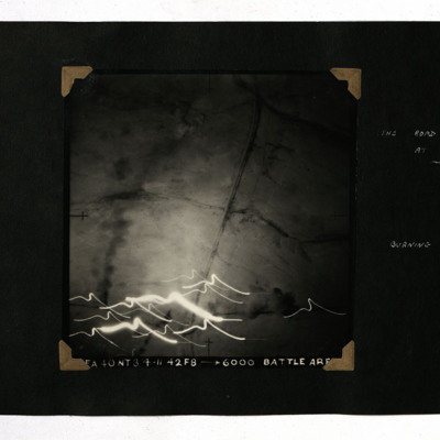
A vertical aerial photograph showing a road and railway. At the bottom are multiple tracer lights. It is captioned 'FA 40 NT 3/4.11.42 F8 -->6000 Battle Area' and annotated 'The road and railway at Fuka Burning transport'.

PSaundersEJ20010094.jpg
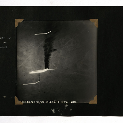
A vertical aerial photograph showing a burning vehicle. It is captioned 'B.A.40.N.T. 24/25-10-42. 8" --> 870 296

PSaundersEJ20010095.jpg
A vertical aerial photograph taken during an operation at El Alamein. Most of the image is obscured by flashes but the sea is visible. It is captioned 'BA.40.NT.1/2/11/42. 8 -->Battle Area' and annotated 'The Mediterranean The coast road at El…

PSaundersEJ20010097.jpg
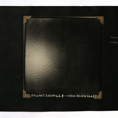
A vertical aerial photograph of an enemy ship captioned 'BA.40.NT.20/21/10/42. 8" -->7000.3203.N.2445.E'.

PSaundersEJ20010098.jpg
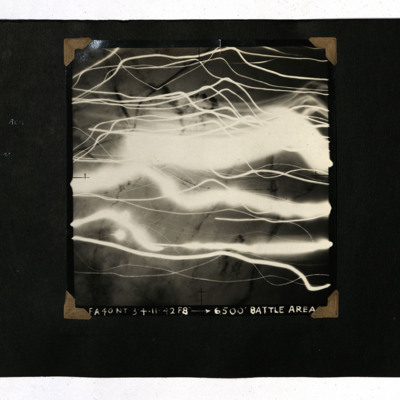
A vertical aerial photograph of the El Alamein area. Much of the image is obscured by tracer and fires. It is captioned 'FA 40 NT 3/4.11.42 F8" -->6,500' Battle Area'.

PSaundersEJ20010099.jpg
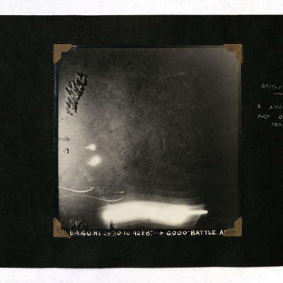
A vertical aerial photograph taken during the battle at El Alamein. It is captioned 'BA 40 NT 29/30-10-42. F8" --> 6,000' Battle Area' and annotated 'Battle Area. 3 sticks of bombs and burning transport'.

PSaundersEJ20010100.jpg
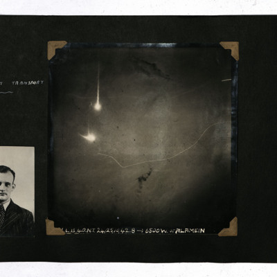
Two photographs from an album.
Photo 1 is a half-length portrait of Sam Saunders.
Photo 2 is a vertical aerial photograph of the battle at El Alamein. The view is mostly featureless with two explosions. It is captioned 'L.B.40.NT.24/25/10/42.8-->…

PShawSR16020022.jpg
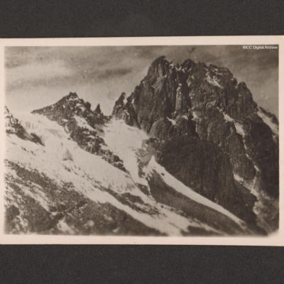
A view of Mount Kenya taken from an aircraft. On the reverse 'Mt. Kenya taken from 968.Wimp Kenya June 15th 1946'.

PShawSR16020024.jpg
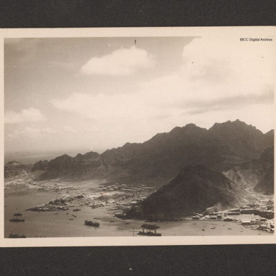
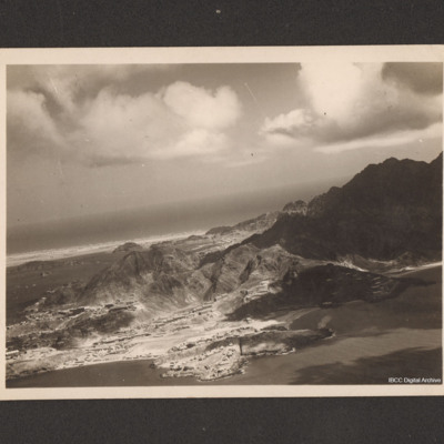
An oblique aerial photograph of Steamer Point. On the reverse 'Aerial view of Steamer Point, showing ships in harbour and oil storage tanks'.

PShawSR16020030.jpg
An oblique aerial photograph of Aden. On the reverse 'Aerial view of Aden, showing the NAAFI Lido and Sapper's Bay.'

PPeckP16010012.jpg
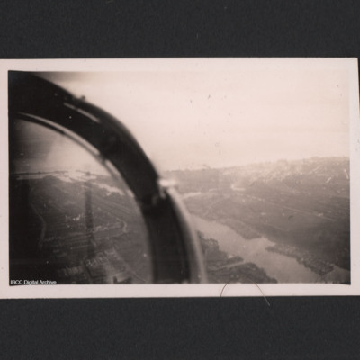
Lowestoft harbour viewed from the cockpit of an aircraft.

PPeckP16010035.jpg
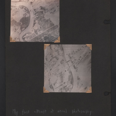
Two vertical aerial photographs of a river, annotated 'My first attempt at aerial photography'.
Top is the bend in the Assiniboine River , Winnipeg, Manitoba, Canada, adjacent to the Glendale golf and country club.
Bottom is the Assiniboine River,…

PPhillipsCR1502.jpg
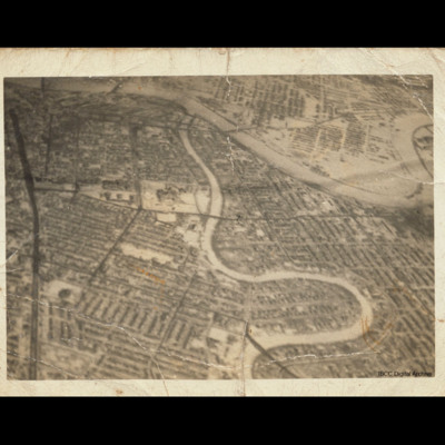
Oblique aerial photograph of central Winnipeg looking due east with the Red River meandering top left to middle right and the Assiniboine River meandering from bottom centre to top centre joining it. The Trans Canada Highway runs top left to bottom…

PJonesWC18020079.jpg
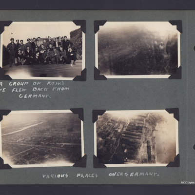
Four photographs and four copies from an album.
Top left is a group of prisoners of war, captioned 'A group of POWs we flew back from Germany'. On the reverse of 5 is '440'.
The other three photos are aerial photographs of bomb damage over Germany.…

PJonesWC18020088.jpg
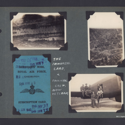
Three photographs and copies plus One Mess Card from an album.
Photo 1 is an aerial photograph of part of the Hamburg docks, in the Steinwerder area. The lower dock is Kaiser Wilhelm Hafen, the dock above Is Kuhwerder, top right area series of…

PJonesWC18020117.jpg
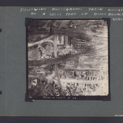
A vertical aerial photograph of Munster captioned 'Following photographs taken whilst on a Cook's tour of Bomb damaged Germany'.
The photo is captioned '(T) Ched 23.5.45//7" J 218'.
On the reverse 'Crown Copyright Reserved' and 'Munster'.

PJonesWC18020120.jpg
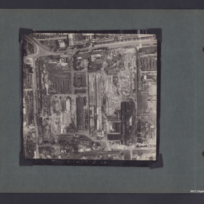
A vertical aerial photograph of South West Hanover, delimited by Bückeburger Allee and Friedrich-Ebert-Straße. Captioned '(T) Ched 23.5.45//7" J 218'. On the reverse 'Crown Copyright Reserved' and 'Hanover'.

Identification kindly provided by…
Output Formats

atom, dc-rdf, dcmes-xml, json, omeka-xml, rss2