Browse Items (1442 total)
- Tags: aerial photograph
Sort by:
Saumur
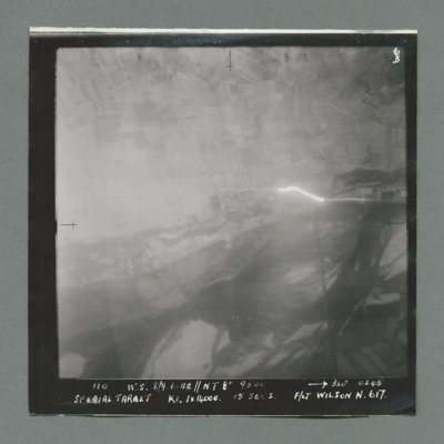
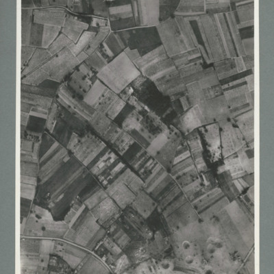
Target photograph showing open country with tracer emanating from centre right. Caption '110, W.S. 8/9.6.44, NT 8", 320,0245, Special Target, K1. 1 x 14000, 15 secs, F/Lt Wilson N, 617'. On the reverse 51:92/8'.
Saumur
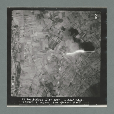
Target photograph showing open countryside. On the left a road runs top to bottom with buildings along both sides. Tracer shown middle right. Caption '96, S.W1, 8/9.6.44, N.T. 8850, 226 degree, 0212, Saumur, P, 1 x 14000, 15 sec, F/O Kell P, 617'. On…
Saumur
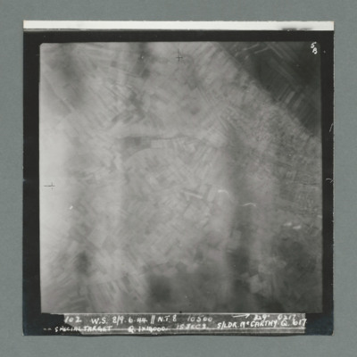
Target photograph showing blurred open countryside. Caption ' 102, W.S. 8/9.6.44, N.T. 8, 10500, 329 degrees, 0217, Special Target, Q, 1 x 14000, 15 secs, S/Ldr McCarthy, Q, 617'. On the reverse '51:92/10'.
Saumur
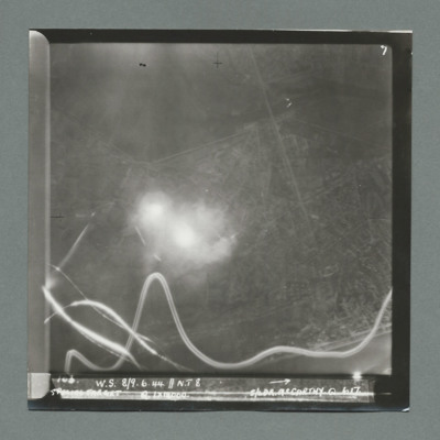
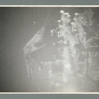
Target photograph shows open countryside with line feature running top centre to bottom right. Bomb explosion centre left with tracer tracks along the bottom. Caption 'W.S., 8/9.6.44, N.T. 8, Special Target, Q, 1 x 14000, S/Ldr McCarthy, Q, 617'. On…
Saumur tunnel
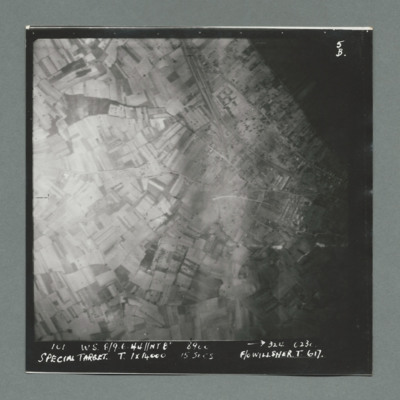
Target photograph shows open countryside. Railway line runs from top centre to middle right, with one leading the Saumur tunnel. Caption '101, W.W., 8/9.6.44, NT8", 324, 0230, Special Target, T, 1 x 14000, 15 secs, F/O Willsher, T, 617'. On the…
Saumur
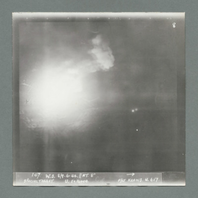
Target photograph shows bomb explosion left centre. Caption '107, W.S., 8/9.6.44, NT. 8", Special Target, U, 1 x 14000, F/Lt Keans, U, 617'. On the reverse '51:92/13'.
Saumur
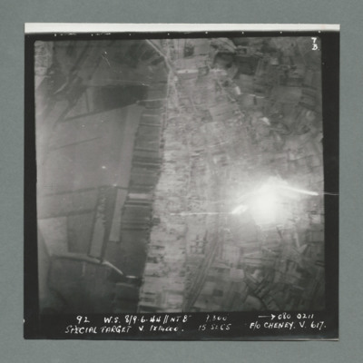
Target photograph showing open country. Railway line runs top centre curving to bottom centre. Bomb explosion right middle to the right of railway line. Caption '92, W.S., 8/9.6.44, 9,300, 080, 0211, Special Target, V, 1 x 14000, 15 secs, P/O Cheney,…
Saumur
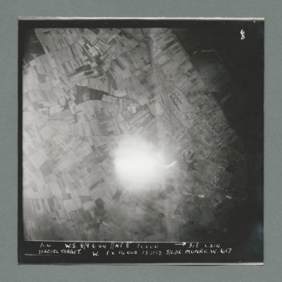
Target photograph showing open countryside with rali line running top centre to centre. Bomb explosion centre slight below middle to the left of rail line. Caption '100, w.s., 8/9.6.44, NT 8", 312, 0214, Special Target, W, 1 x 14000, 15 secs, S/Ldr…
Saumur
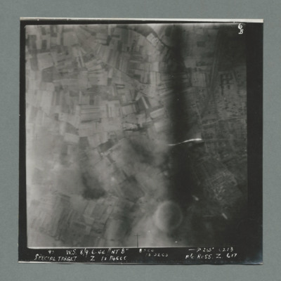
Target photograph showing open countryside with railway line running from top left towards centre. Caption 'W.S., 8/9.6.44,,NT 8", 285 degrees, 0213, Special Target, Z, 1 x 14000, 15 secs, F/O Ross, Z, 617'. On the reverse '51:02/16'.
Saumur rail bridge
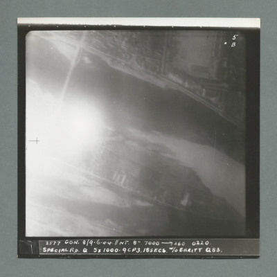
Target photograph showing bridge over river in top left. Bomb explosion on lower bank to the right bridge. Caption '2377, Con, 8/9.6.44, NT 8", 7000, 260, 0220, Sp[ecial Rd, 5 x 1000, 9CP3.18 secs, W/O Erritt, Q, 88'. On the reverse '51@92/18, 1 1/2…
Saumur railway tunnel
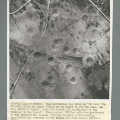
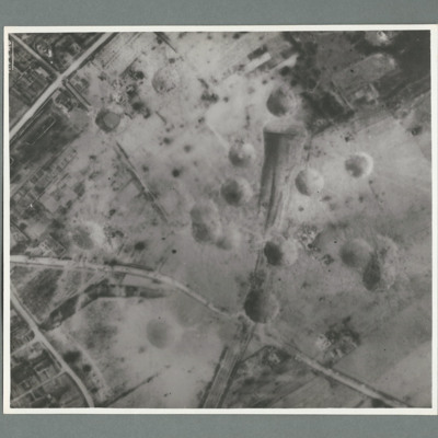
Reconnaissance photograph of Saumur tunnel entrance and surrounding area taken on 9 June 1944 after attach with 12,000 lb bombs. Description notes direct hit on roof of entrance to tunnel and two other 100 foot craters on the approach to tunnel. On…
Saumur region
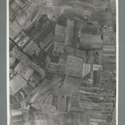
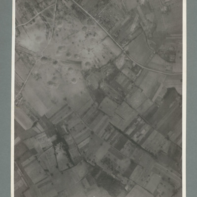
Reconnaissance photograph showing open countryside with road running top left to right and another from bottom left to right. On the reverse '15.6.44, WS G 80, 51:92/25'.
Saumur railway tunnel
Reconnaissance photograph showing mostly open countryside. Bottom right shows entrance to railway tunnel with large crater and other craters to the right. On the reverse '15.6.44, WS, G79, 51:92/20'.
Saumur railway bridge
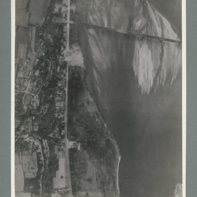
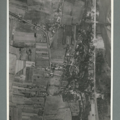
Reconnaissance photograph showing river running top to bottom on right and rail bridge running from right to left with entrance to tunnel top left. A road runs down the riverbank from top to bottom. Large crater visible on road just below bridge.…
Saumur railway bridge and tunnel
Reconnaissance photograph showing road running top to bottom on the right side. To the right a river. Top right a railway bridge with rail line running into a tunnel just left of road. To the left of the road a built up area. A crater is visible on…
Saumur railway tunnel
Reconnaissance photograph showing entrance of railway tunnel with large crater just above. Two other craters on approach line with others to the left and right. On the reverse '8.7.44, W.S. G94, 51:92/20'.
Saumur railway tunnel
Reconnaissance photograph showing entrance of railway tunnel one quarter way down in centre with large crater to right of entrance. Other craters to the left of entrance. three roads join top slightly left and run to left and right sides. On the…
Le Havre Harbour
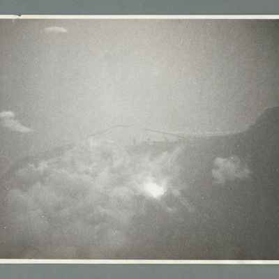
Target photograph showing sea to the left and a point of land left centre with harbour to the right. There are a large number of bomb explosions in the harbour area top right. On the reverse 'Ops 162, cam 1, neg 9, daylight/night attack of Harbour -…
Le Havre harbour
Target photograph showing coastline runs from left to right with harbour behind breakwaters in the centre. On the reverse '162, cam 1, neg 19, daylight/night attack on harbour Le Havre, date 14.6.44, squadron 463, 617, pilot F/O Schultz, a/c…
Le Havre
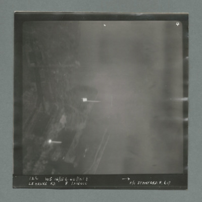
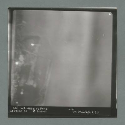
Target photograph showing harbour area on the left side with two bright marks centre and bottom left. Caption '126, WS 14/15.6.44, NT 8, Le Havre RD, F, 1 x 14000, F/O Stanford, F, 617'. On the reverse '1700, from Pens'.
Le Havre
Target photograph showing harbour area on the left with bright spots top left quadrant and centre left. Caption '128, WS 14/15.6.44, NT 82, Le Havre RD, F, 1 x 14000, F/O Stanford, F, 617'. On the reverse '51:93/9'.
Le Havre
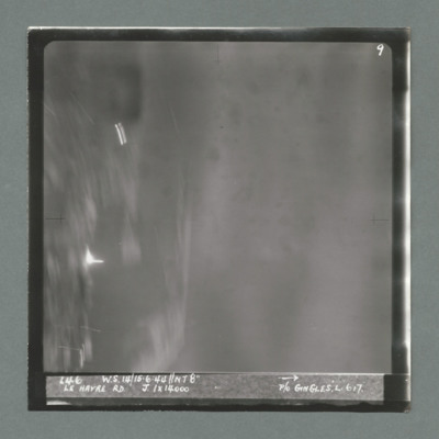
Target photograph showing harbour area on the left with bright spots top left quadrant and just below centre left. Caption '146, WS 14/15.6.44, NT8", Le Havre RD, J, 1 x 14000, P/O Gingles, L, 617'. On the reverse 53:93/10'.
Le Havre
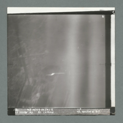
Target photograph showing built up area on the left and harbour area on the right. Bright spot centre one third way up. Caption '130, WS 14/15.6.44, NT 82, Le Havre RD, K1, 1 x 14000, F/L Wilson N, 617'. On the reverse 53:93/11'.
Le Havre
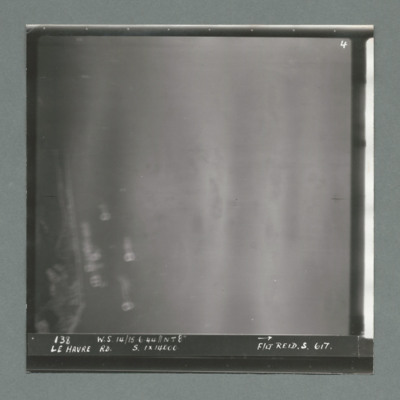
Target photograph showing coastline on the left. Caption '138, W.S 14/15.6.44, Le Havre RD, S, 1 x 14000, F/Lt Reid, S, 617'. On the reverse '53:93/12 Photo 159'.
Le Havre
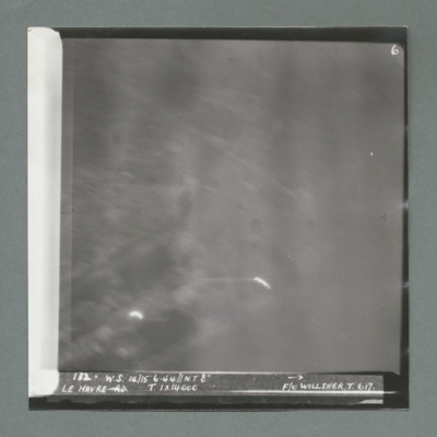
Target photograph showing bright spots bottom left and bottom centre. Caption '172, W.s. 14/15.6.44, NT 8", Le Havre, T, 1 x 14000, F/O Willsher, T, 617'. On the reverse '51:93/13'

