Browse Items (754 total)
- Tags: target photograph
Sort by:
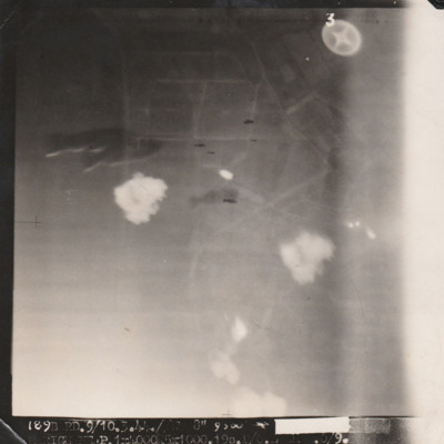
Marignane
Target photograph with indistinct ground but several bombs visible centre left and centre. Caption mostly unreadable '[....], 9/10.3.44, Marignane P. 1 x 4000, 5 x 1000, 19s [..]'.
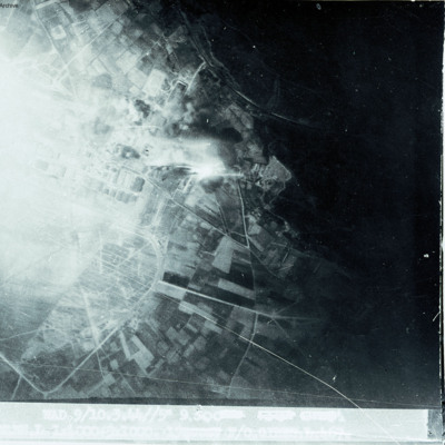
Marignane
Show open countryside on right with built up area on left.
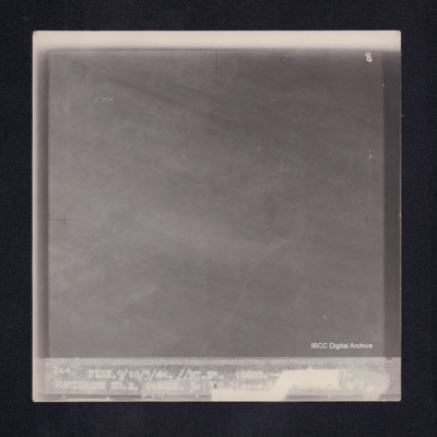
Marignane
Target photograph of Marignane. No detail visible, almost completely obscured. Captioned '8', '244 FISK.9/10/3/44.//NT.8" 10000.[arrow][heading and time censored] MARIGNANE RD.. 1X4000. 5X 100. 21secs [censored] B/50'. On the reverse ' [underlined]…
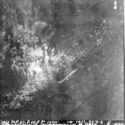
Marquise Minoyecques
A vertical aerial photograph of Marquise Minoyecques during a bombing operation. The left side of the image is obscured by explosions.
It is captioned '2363 TLP 27-8-44//8" 16500' -->142° 2016.2 Marquis/Mimoques (B) E(2x1000) (13x500) c 32 sec F/S…
It is captioned '2363 TLP 27-8-44//8" 16500' -->142° 2016.2 Marquis/Mimoques (B) E(2x1000) (13x500) c 32 sec F/S…
Marseilles
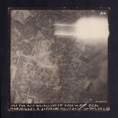
A vertical aerial photograph taken during the bombing of Marseilles. The top right corner is obscured by a flash. It is captioned '1888 TOR 14/15 AUG 1944 //NT.F8" 8,500' --> 310° 2234 MARSEILLES R. 6x500lbs Mark III 20 sec Sgt TAYLOR L37'.
Marseilles/Marignane
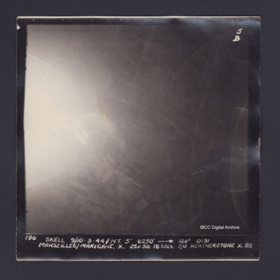
Target photograph of Marseille/ Marignane. Partially obscured by ball of light and light streaks. Rural area, field pattern and roads visible. Captioned '5B', '190 SKELL 9/10-3-44//NT. 5" 8250' [arrow] 126° 0131 MARSEILLES/MARIGANE. X. 25X30.…
Matesevo-Kolasin road
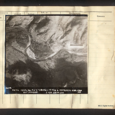
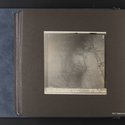
Vertical aerial photograph of Matesevo-Kolasin Road. The Tapa river meanders through the centre of the image. Adjacent is flatter land but to the top and bottom are hills. A road partly follows the river. Captioned '2609. 40/42 19 Dec '44 F8 // 9000'…
Matsevo
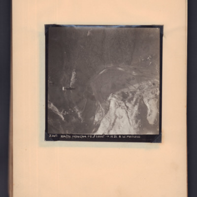
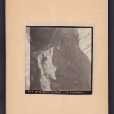
Target photograph showing open countryside. A supply container is visible in mid air on the left hand side, a road snakes from bottom left to centre right. Captioned '2360, 104/38, 19 Dec 44, F8, 6000 ft, →1521, B W Matsevo'.
Matsevo
Target photograph of open country with road snaking middle left to top right then to bottom right. Captioned '2363, 104/38, 19/Dec/44, F8, 6000 ft, →5121, B.W.Matsevo'.
Maupertus airfield Cherbourg
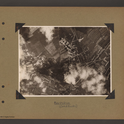
Aerial vertical photograph showing open countryside. A road runs from left diagonally slightly up to the right side middle. There is a junction half way along where another road leads off upward to the top. Bomb explosions are visible. Captioned…
Merseburg
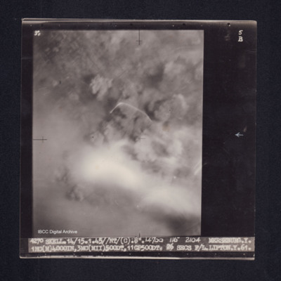
Target photograph of Merseburg. Completely obscured by smoke, dust and haze. Some light streaks, no detail visible. Captioned '3°F', '5B', '4270 SKELL.14/15.1.45//NT/(C) .8". 14700 116° 2104 MERSEBURG.Y. 1HC(M)4000IN,3MC(MII)500DT, 11GP500DT. 26…
Merseburg
Target photograph of Merseburg. Captioned '3F', '5B', 7549 Wed. 14/15.1.45//NT 8"/O.18400 118 2100 MERSEBURG. S. 1x4000(Min) 9x500 GP (DT. 30secs. F/O CROSS. S. 467'.
Metz
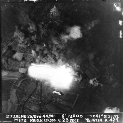
A vertical aerial photograph of Metz taken during a bombing operation. Much of the image is obscured by explosions.
It is annotated '2739.LMG. 28/29.6.44 // NT 8" 12000 --> 041°0131 1/12 Metz Raid. K. 13x 500 c.23 secs W/O Irish . K.429.'
It is annotated '2739.LMG. 28/29.6.44 // NT 8" 12000 --> 041°0131 1/12 Metz Raid. K. 13x 500 c.23 secs W/O Irish . K.429.'
Metz
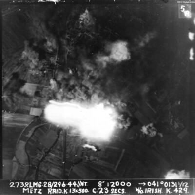
Vertical aerial photograph taken during an attack on Metz. The centre of the image is obscured by explosions. The caption reads '2739.LMG.28/29.6.44//NT. 8" 12000 -->041° 0131 1/12 Metz Raid. L 13*500 C.23 secs W/O Irish K 429'.
Milan
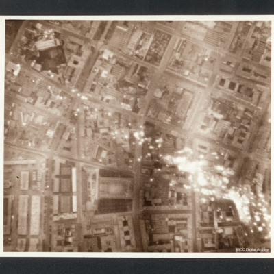
Target photograph of a Milan eastern district, between Piazza 5 giornate and the central fresh food market, with incendiaries falling down. Scuola di Villa Morosini is visible near the frame border.
Captioned between pages 36-37 of 1956 Memoir…
Captioned between pages 36-37 of 1956 Memoir…
Milan Marshalling Yards N. Italy
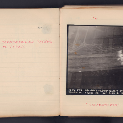
A target photograph for an operation to Milan. Some roads are visible and Target Indicators have been laid across, what appears to be, several railway tracks. The photograph is annotated 'A4' and captioned:
'1524. FOG. 10/11 July 44 // NT8" 6200'…
'1524. FOG. 10/11 July 44 // NT8" 6200'…
Mimoyecques
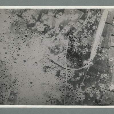
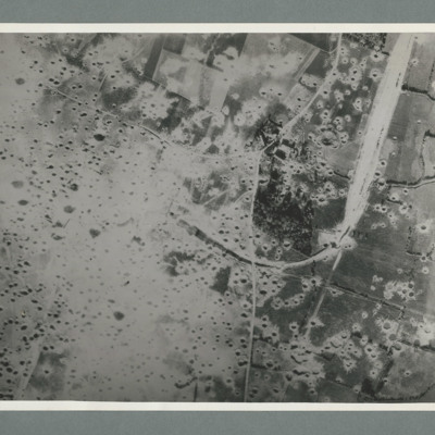
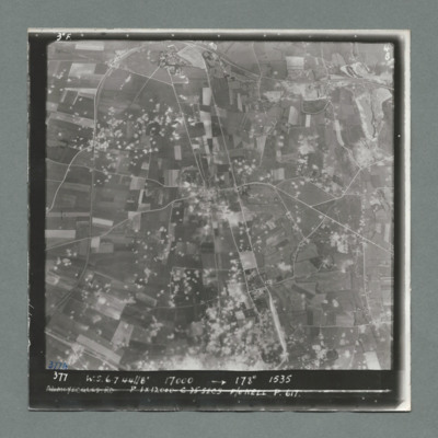
Reconnaissance photograph showing open countryside with fields. A railway runs from top right downwards then loops to the left, culminating in the centre, The left side is covered in multiple craters. Craters on the right side are less concentrated.…
Mimoyecques
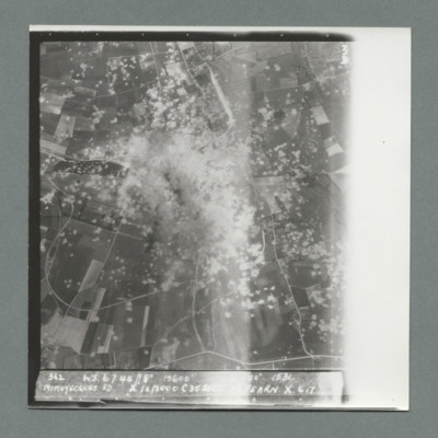
Target photograph showing open countryside with heavily cratered area in the centre. Caption '362, WS, 6.7.44, 8", 15600, [....], 1534, Mimoyecques RD, X, 1 x 12000, C, 35 secs, [..]earn, X, 617'. On the reverse '5:99/5, Photo 282'.
Mimoyecques
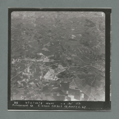
Target photograph showing open countryside with fields and roads. Village on the right side edge just below centre. Caption '358, W.S., 6.7.44, 8", 16400, 134 degrees, 1530, Mimoyecques RD, C, 1 x 12000, C35 secsa, F?O Duffy, C, 617' On the reverse…
Mimoyecques
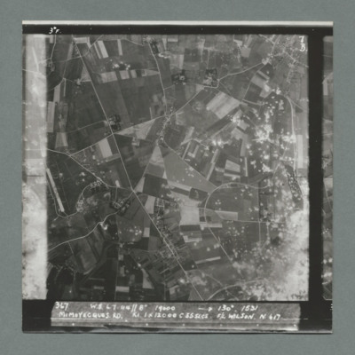
Target photograph showing open countryside with area covered in craters bottom right. There is an airfield on the left edge just below centre. Caption '367, W.S., 6.7.44, 8", 19000, 130 degrees, 1531, Mimoyecques RD, K1, 1 x 12000, C, 235 secs, F/L…
Mimoyecques
Target photograph showing open countryside with fields and roads. There is a large area with craters bottom right extending towards the top.There are other scattered craters throughout the image. Caption '367, W.S.,6.7.44, 8", 130 degrees, 1531,…
Mimoyecques
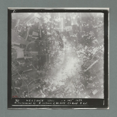
Target photograph showing open countryside with a large area on dense craters in the centre. Caption '367, W.S., 6.7.44, 8", 16800, 145 degrees, 1529, Mimoyecques RD, Z, 1 x 12000, C, 25 secs, F/O Ross, Z, 617'. On the reverse '51:97/7'.
Mimoyecques
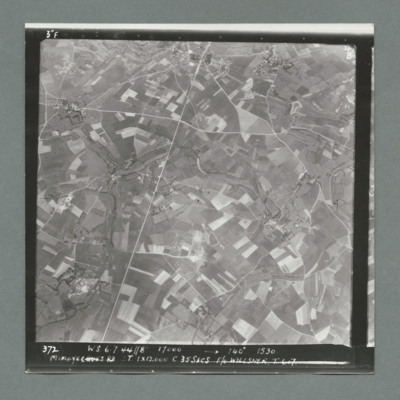
Target photograph showing open countryside with fields. There are prominent roads running bottom left to top centre and top right to left. Caption '372, W.S, 6.7.44, 8", 17000, 140 degree, 1530, Mimoyecques RD, T, 1 x 12000, C, 35 secs, F/L Willsher,…
Mimoyecques
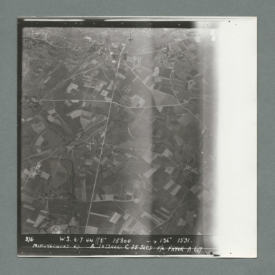
Target photograph showing open countryside with fields. Prominent roads run from top centre to bottom and left centre to right. Caption '376, W.S., 6.7.44, 8", 15800, 136 degrees, 1531, Mimoyecques RD, A, 1 x 12000, F/L Pryor, A, 617'. On the reverse…
Mimoyecques
Target photograph showing open countryside with fields. Prominent road runs top centre to bottom and left centre to right. Craters are scattered over most of the image mostly left of centre line. Caption '377, W.S., 7.7.44, 17000, 178 degrees, 1535,…

