Browse Items (754 total)
- Tags: target photograph
Sort by:
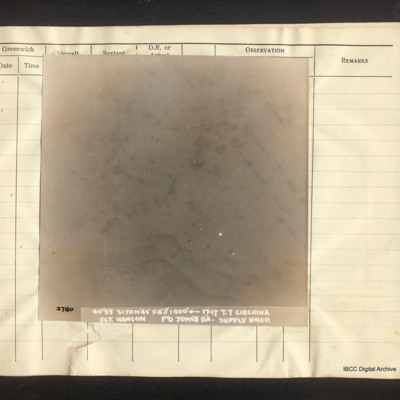
Circhina supply drop
Vertial aerial photograph of Circhina. Snow-covered terrain, scattered trees and a river are visible on the image. Captioned '2780 40'55 21 Jan '45 F8"//1400° [arrow] 17.17 T.T. Circhina Supply Drop. Sgt Hanson P/O Jones B'A.
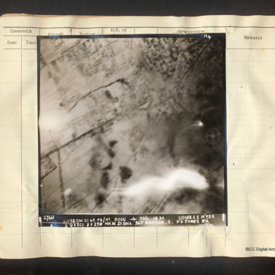
Udine marshalling yards
Vertical aerial photograph of Udine marshalling yards, centered on Porta Aquileia. The image is clear with the exception of an explosion in the lower right. Detail of the town and roads is visible. Captioned 'A4 2760 40/54 Jan 20 45 F8/NT 8000'…
Interview with Frank Tilley
Frank Tilley was a flight engineer with 617 Squadron. He took part in the operation to sink the Tirpitz. He explains his flights and briefings before the operation at RAF Woodhall Spa, RAF Milltown and RAF Lossiemouth. On their return from sinking…
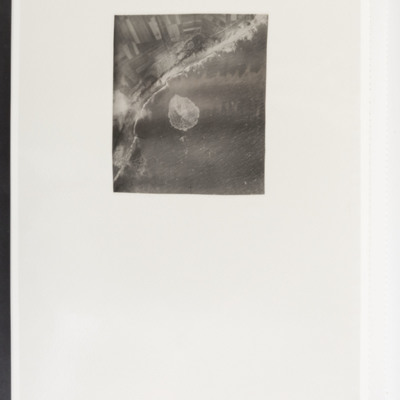
Bomb in sea
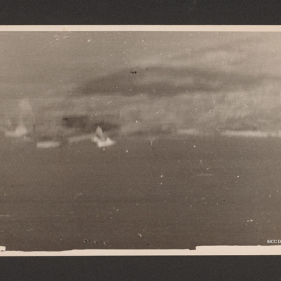
Target photograph showing coast running bottom left to top right with sea to the right. In the centre a bomb explosion in the sea.
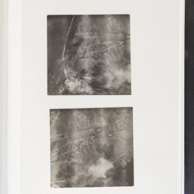
Westkapelle
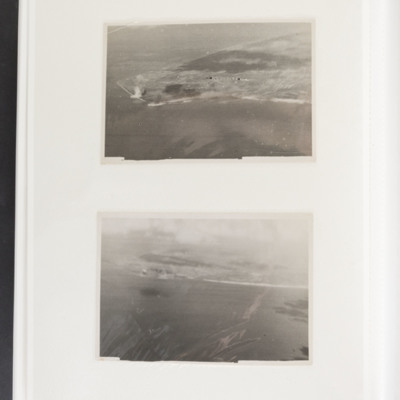
Top - coastline curving from top left to bottom centre. Some bomb explosions are visible bottom left on coast. Bottom - open ground with a built up area centre left. Bomb explosions bottom right quadrant.
Target photographs
Top land juts out from right to centre left, Bomb explosions visible left centre on coast. Bottom coastline runs from left to right centre, sea at bottom. Bomb explosions visible left side on coast.
Coastal bombing
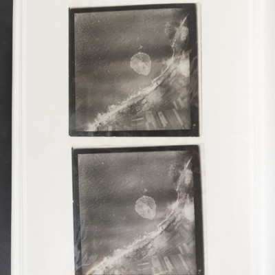
Two almost identical target photographs showing the sea to the upper left and the coast and fields to the lower right. There are several bomb craters along the dunes and one in a field. There is also the splash from a bomb impact in the sea. There is…
Target photographs
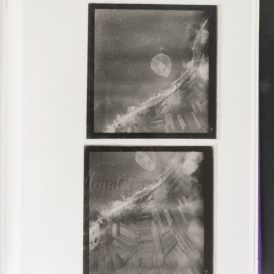
Top - coast runs top right to bottom left with sea to the left. Bomb explosion visible in sea at centre image. Bottom - enlarged version of top picture.
Westkapelle
Target photograph of a coastline running from bottom right to centre left then bottom left. There is a bomb explosion centre left.
Bombs on Walcheren
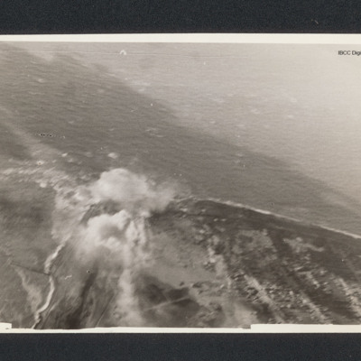
Target photograph of bomb explosion on a coastline running across image. On the reverse '192 Squadron, Attack on Walcheren, Oct 1944'.
Siegen - Communications
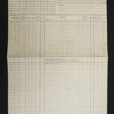
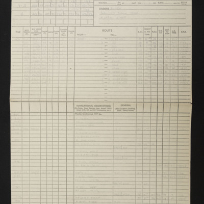
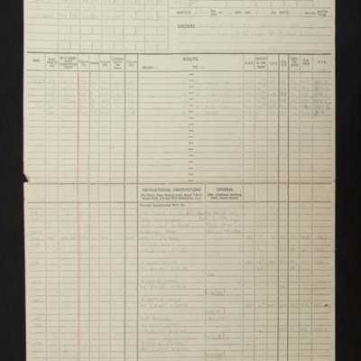
Navigational computations and a chart for an operation to Siegen. Also included is a vertical aerial photograph.
Vohwinkel -Marshalling Yards
Navigational computations and a chart for an operation to Wuppertal, Vohwinkel marshalling yards. A vertical aerial photograph taken during the attack is included and has the annotation '200 yds 280°' and on the reverse '200 yds 280° Bomb door mod…
Vohwinkel Marshalling Yards
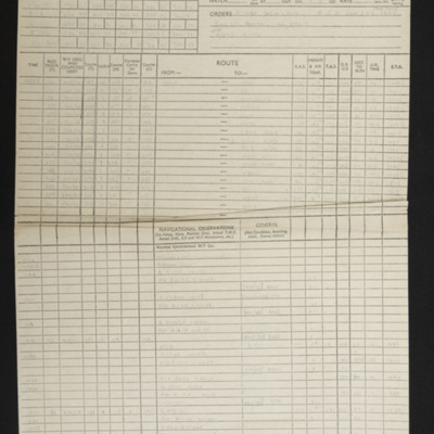
Navigational computations and chart for an operation to Vohwinkel marshalling yards. Included is a vertical aerial photograph with the annotation 'N. A/Pp and on the reverse 'Nr Haan Mod 74'.
Hamm
Navigational computation for an operation to Hamm. Also included is a vertical aerial photograph taken during the bombing operation.
Podgorica
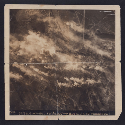
A target photograph taken during an operation to Podgorica. Half of the image is obscured by explosions and smoke. The river and the grid pattern of streets and buildings can be clearly seen. On the reverse is captioned 'With compliments from 336…
Bombs dropping
A vertical aerial photograph showing multiple bombs being dropped. The ground is mostly obscured by cloud and explosions. A the bottom of the image are fields and buildings.
Saumur
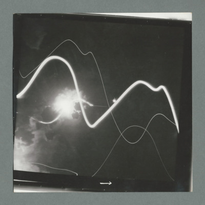
Target photograph shows bomb explosion left side half way up. Tracer tracks across image. On the reverse '51:92/17'.
Saumur
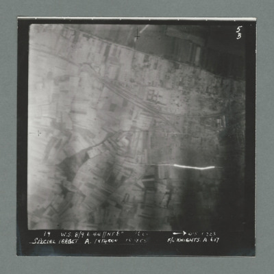
Target photograph showing open countryside with railway line running from top left to middle right. Caption '19, W.S 8/9 6.44, NT 8", 0'5 0223, Special Target A. 1 x 14000, 15 secs, F/O Knight'. On the reverse '51:92/5'.
Saumur
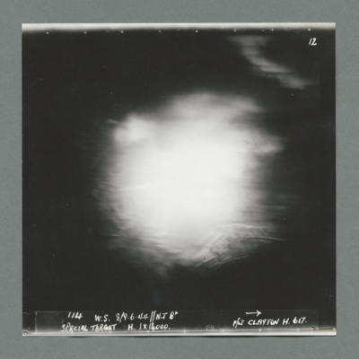
Target photograph shows bomb explosion in centre of image. Caption ' 114, W.S, 8/9.6.44, N.T. 8", Special Target, H. 1 x 14000, F/Lt Clayton H, 617''. On the reverse '51:92/6'.
Saumur
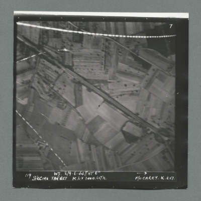
Target photograph showing open countryside south west of Samur with Rue du Pont Fouchard running from top left to bottom right. There are lines of tracer on top and bottom left. Caption '119, W.S. 8/9.6.44, NT 8", Special Target, K.6 x 1000. 6x7FL,…
Saumur
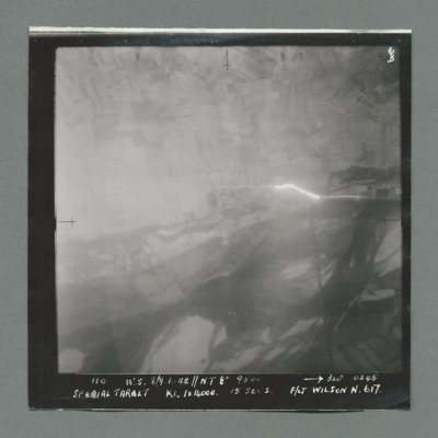
Target photograph showing open country with tracer emanating from centre right. Caption '110, W.S. 8/9.6.44, NT 8", 320,0245, Special Target, K1. 1 x 14000, 15 secs, F/Lt Wilson N, 617'. On the reverse 51:92/8'.
Saumur
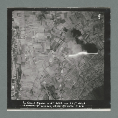
Target photograph showing open countryside. On the left a road runs top to bottom with buildings along both sides. Tracer shown middle right. Caption '96, S.W1, 8/9.6.44, N.T. 8850, 226 degree, 0212, Saumur, P, 1 x 14000, 15 sec, F/O Kell P, 617'. On…
Saumur
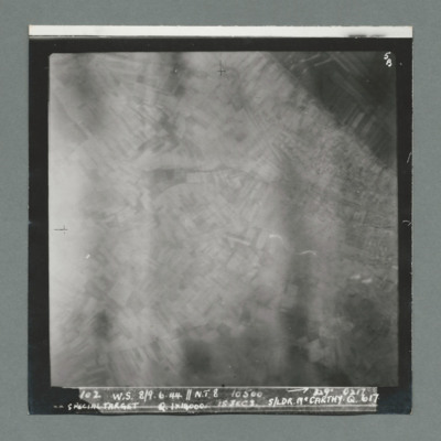
Target photograph showing blurred open countryside. Caption ' 102, W.S. 8/9.6.44, N.T. 8, 10500, 329 degrees, 0217, Special Target, Q, 1 x 14000, 15 secs, S/Ldr McCarthy, Q, 617'. On the reverse '51:92/10'.
Saumur
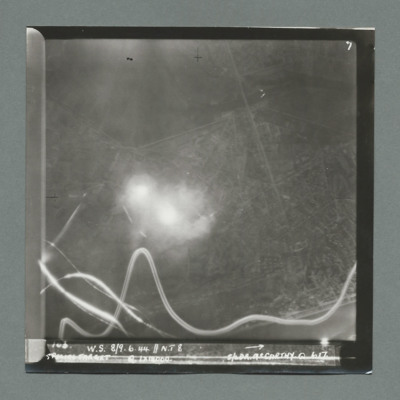
Target photograph shows open countryside with line feature running top centre to bottom right. Bomb explosion centre left with tracer tracks along the bottom. Caption 'W.S., 8/9.6.44, N.T. 8, Special Target, Q, 1 x 14000, S/Ldr McCarthy, Q, 617'. On…
Saumur tunnel
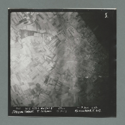
Target photograph shows open countryside. Railway line runs from top centre to middle right, with one leading the Saumur tunnel. Caption '101, W.W., 8/9.6.44, NT8", 324, 0230, Special Target, T, 1 x 14000, 15 secs, F/O Willsher, T, 617'. On the…

