Browse Items (13139 total)

  • Spatial Coverage is exactly "Great britain"

YPearceAT1874945v4.pdf
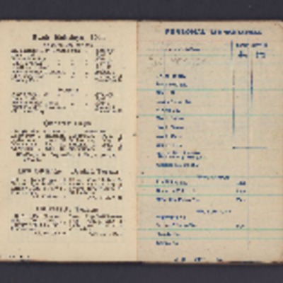
Memorandum items addresses of friends and acquaintances, mentions many days/evenings out and what sort of time he had in Belfast, Lincoln, Gainsborough and many others. Mentions various journeys and postings, lists birthdays. Jots down daily…

PMadgettHR1502.jpg
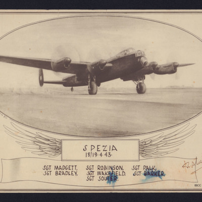
Sketch of a Lancaster with engines running. Underneath 'Spezia, 18/19-4-43, Sgt Madgett, Sgt Robinson, Sgt Palk, Sgt Bradley, Sgt Wakefield, Sgt Barker, Sgt Souter'. Signed by AOC. Supplied with caption ' Sketch of Lancaster by P/O A. Pollen drawn to…

PDaviesDC19010006.jpg
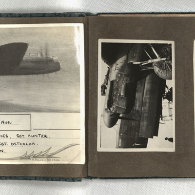
First, a sketch of a Lancaster in flight, captioned 'Duisburg, 6/7 Sept. 1942 F/Sgt Turner, Sgt Anderson, Sgt Davies, Sgt Hunter, Sgt Coombes, Sgt Cass, Sgt Osterloh. 61 Squadron.' Signed 'A Pollen P/O 1942.' Second, the damaged port engine of a…

PDaviesDC19010008.jpg
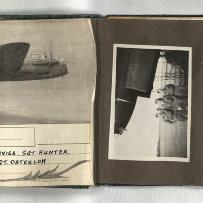
First, a sketch of a Lancaster in flight, captioned 'Wismar, 12/13.X.42 F/Sgt Turner, F/Sgt Anderson, Sgt Davies, Sgt Hunter, Sgt Coombes, Sgt Cass, Sgt Osterloh. 61 Squadron.' Signed 'A Pollen P/O 1942.' Second, four men in uniform and side caps…

PDaviesDC1904.jpg
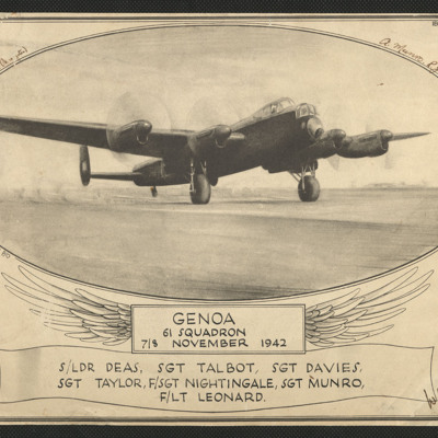
An aiming point certificate comprising a sketch of a Lancaster on the ground with rotating propellers It is captioned 'Genoa 61 Squadron 7/8 November 1942 S/Ldr Deas, Sgt Talbot, Sgt Davies, Sgt Taylor, F/Sgt Nightingale, Sgt Munro, F/Lt Leonard'. It…

ESlaterATHadfieldL541004-0001.jpg
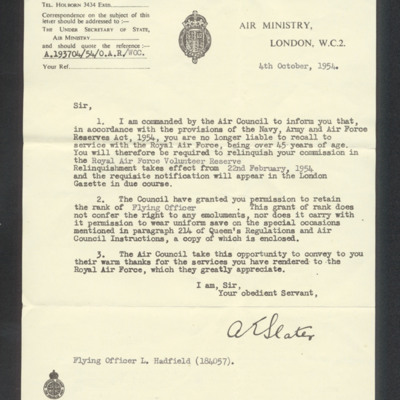
Informs him that he is no longer liable to recall to service with the Royal Air Force. He would be required to relinquish his commission. Second page has extract from Queen's regulations.

CWittyAR-170323-010001.jpg
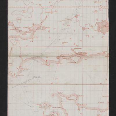
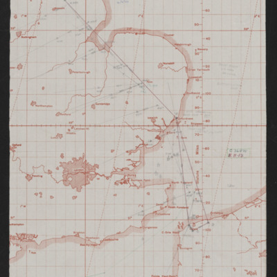
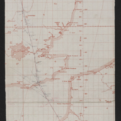
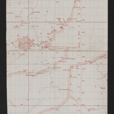
Map of southern England and northern France showing pencilled route from just north-east of Lincoln to target near Rennes France. Annotated 'Op No 1, 7-5-44 Bruz, N Rennes'.

CWittyAR-170323-010004.jpg
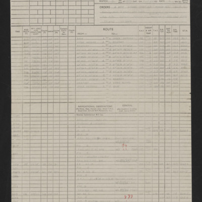
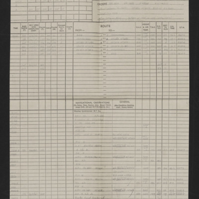
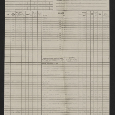
Details of aircraft, captain, navigator, date, orders, route and page and half en-route navigation observations. Annotated in red pen with comments including 'Good effort for 1st trip'. Note at top on first page 'Op No 1, Bruz N Rennes'.

CWittyAR-170323-010005.jpg
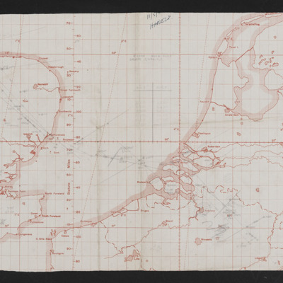
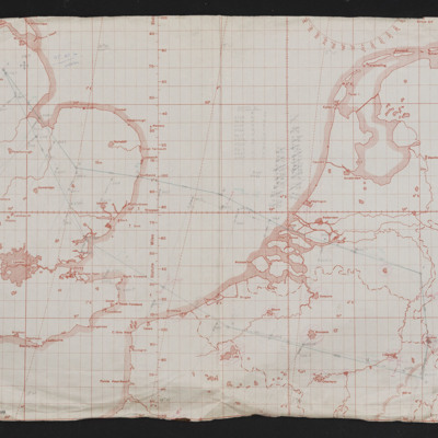
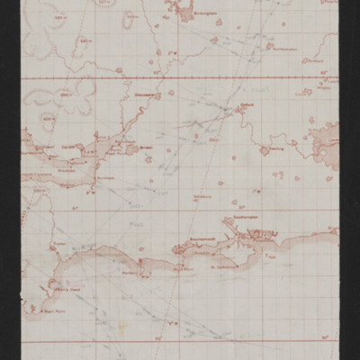
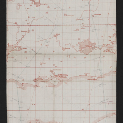
Navigation map showing east England and Western European mainland (Netherlands, Belgium, Germany. Pencilled route from near Lincoln to East Belgium. Annotated '11/5/44, Hasselt'.

CWittyAR-170323-010007.jpg
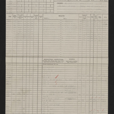
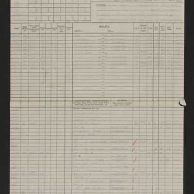
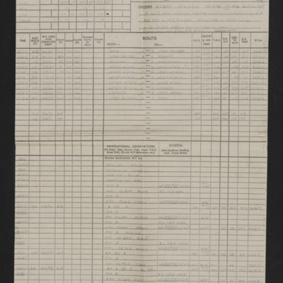
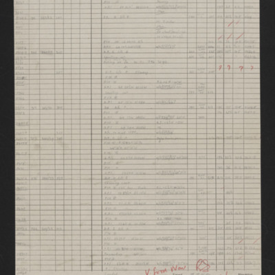
Details of aircraft, captain, navigator, date, orders, route and page and half en-route navigation observations. Annotated in red pen. Note at top of first page 'Op No 2'.

CWittyAR-170323-010008.jpg
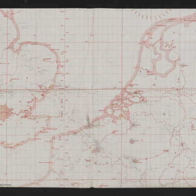
Map of east England to Western European mainland (Belgium, Netherlands, Germany. Route in pencil from Lincolns area to West Germany, Aachen. Annotated top left 'Op No 3, 24/5/44, Aachen'.

CWittyAR-170323-010009.jpg
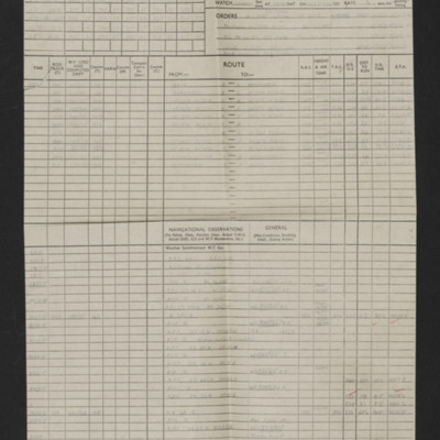
Details of aircraft, captain, navigator, date, orders, route and page and half en-route navigation observations. Annotated in red pen. Note at top of first page 'Op No 3, Aachen'.

CWittyAR-170323-010011.jpg
Map of east England to Western European mainland (Belgium, Netherlands, Germany. Route in pencil from Lincolns area to West Germany, Aachen. Annotated top left 'Op No 4, 27/5/44'.

CWittyAR-170323-010014.jpg
Details of aircraft, captain, navigator, date, orders, route and page and half en-route navigation observations. Annotated in red pen. Note top right 'Op No 4'.

CWittyAR-170323-010015.jpg
Map of southern England and north western France with pencilled route from Lincoln area to area of Dieppe. Annotated at top 'Op No. 5, 2/6/44'.

CWittyAR-170323-010017.jpg
Details of aircraft, captain, navigator, date, orders, route and page and half en-route navigation observations. Annotated in red pen. Note top right 'Op No 5'.

CWittyAR-170323-010018.jpg
Map covering south east England and northern France with pencilled route from near Lincoln to Calais area. Annotated 'Op No. 6, 4/6/44'.

CWittyAR-170323-010020.jpg
Details of aircraft, captain, navigator, date, orders, route and page and half en-route navigation observations. Annotated in red pen. Note top right 'Op No 6'.

CWittyAR-170323-010021.jpg
Map showing southern England and the Cherbourg peninsula. Pencilled route from Lincoln area to target south east of Cherbourg. Annotated top right 'Op No. 7, 5/6/44'. On the reverse 'Op 7, eve of D-Day'.

CWittyAR-170323-010023.jpg
Details of aircraft, captain, navigator, date, orders, route and page and half en-route navigation observations. Annotated in red pen. Note top right 'Op No 7'.

CWittyAR-170323-010025.jpg
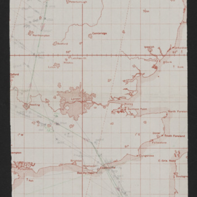
Map showing south east England and northern France with pencilled route from Lincoln area to Paris. Annotated top left 'Op No 7/6/44, Paris'

CWittyAR-170323-010026.jpg
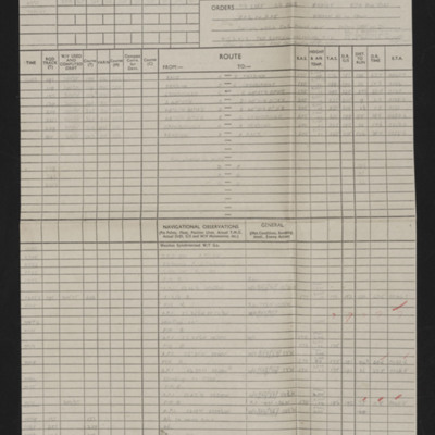
Details of navigator, date, orders, route and page and half en-route navigation observations. Annotated in red pen. Note top right 'Op No 8'.

CWittyAR-170323-010028.jpg
Map showing southern England and Normandy with pencilled route from near Lincoln to south Normandy. Annotated top right ''Op No 9, 9/6/44'.

CWittyAR-170323-010029.jpg
Details of navigator, date, orders, route and page and half en-route navigation observations. Annotated in red pen 'V. Good Nav [signature] I cannot understand how target was not found.' Note top right 'Op No 9'.

CWittyAR-170323-010031.jpg
Map showing south east England and northern France with pencilled route from Lincoln area to southern Normandy. Annotated top left 'Op No. 10 Evreux, 11/6/44'.
Output Formats

atom, dc-rdf, dcmes-xml, json, omeka-xml, rss2