Browse Items (120 total)

  • Conforms To is exactly "Geolocated (cumulative polygon)"

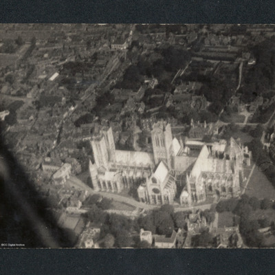
PDorricottLW15090031.jpg
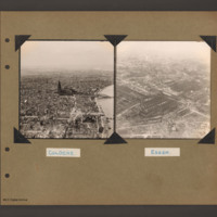
Oblique aerial view of Lincoln Cathedral. On the reverse 'Leica Neg album P10 No ISA 28.8.45 1/300 f5.6'.

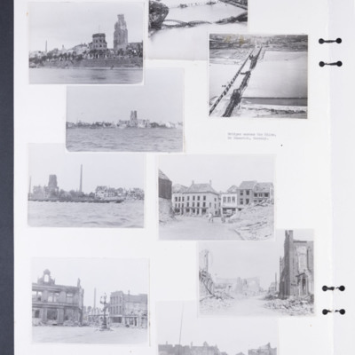
PCavalierRG17010016.jpg
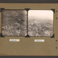
Photographs 1, 3 and 5 show damage to buildings on the riverside.
Photograph 2 is a low level oblique photograph of Cologne, with bomb damaged Hohenzollern Bridge.
Photograph 4 is a low level oblique photograph of Wesel with bomb damaged…

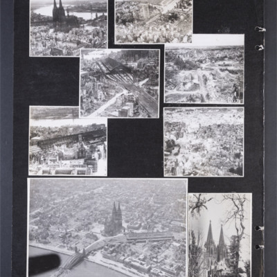
PCavalierRG17010014.jpg
Photograph 1 is a low level oblique photograph of the cathedral.
Photograph 2 is a low level oblique photograph of a church, a bridge and the river Rhine.
Photograph 3 and 5 are low level oblique photographs of the main railway station.
Photograph…

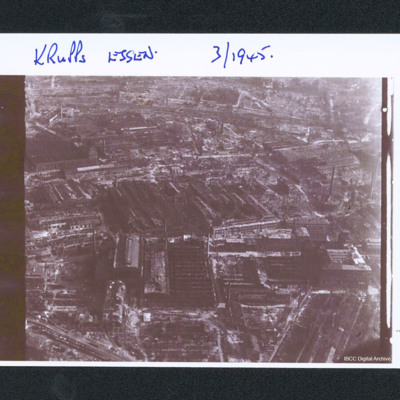
PWrightJ1537.jpg
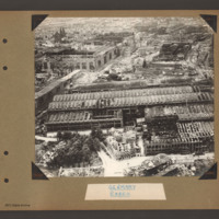
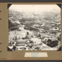
Oblique aerial photograph of bomb damage of the works. Captioned 'Krupps Essen. 3/1945'.

PWrightJ1535.jpg
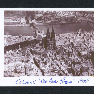
Aerial oblique of Cologne with the cathedral in the centre. Behind is the Rhine and a destroyed bridge. Many of the buildings are damaged. Captioned 'Cologne "The Rhine Crossing" 1945'.

PWrightJ1533.jpg
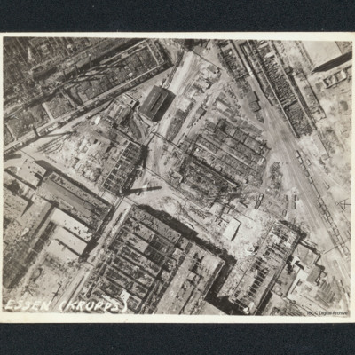
Vertical aerial photograph of bombed workshops. It is captioned 'Essen (Krupps)'. Majority of buildings shown are damaged or severely damaged, many are entirely without roofs. One smaller building to upper centre with a clerestory roof appears…

PWrightJ1530.jpg
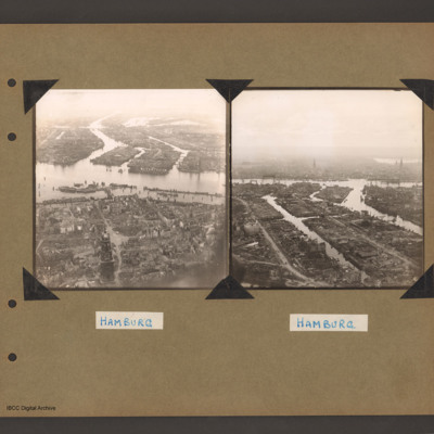
Oblique aerial photograph of Hamburg showing bombing damage. In the foreground are patches of trees and buildings that are not damaged. In the middle is the river and behind are the docks. Captioned 'Hamburg'.

PWrightJ1525.jpg
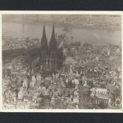
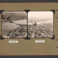
Aerial oblique photograph of Cologne cathedral showing destroyed buildings and river bridge. Captioned 'Cologne'.

PParkinsHW1501.jpg
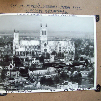
Air-to-air view of a Lincoln VN-C flying past the Lincoln Cathedral, looking north. Captioned: '33 [underlined]ONE OF THE 50 SQDN'S LINCOLNS FLYING PAST. LINCOLN CATHEDRAL
LINCOLN BOMBER - LINCOLN CATHEDRAL[/underlined]
50.SQ. WADDINGTON 1948 F/E…

PBanksP15010101.jpg
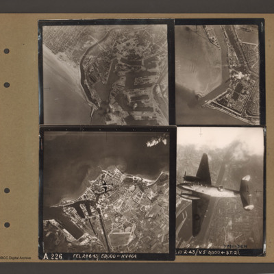
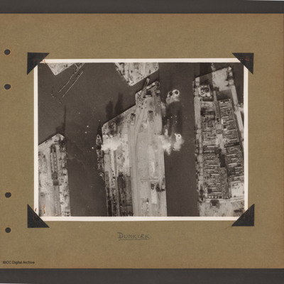
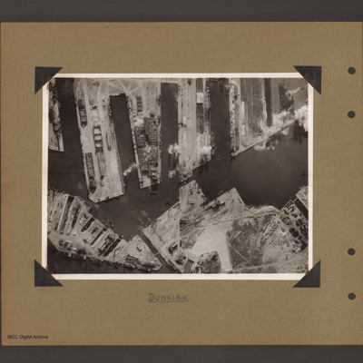
Top left an aerial vertical photograph of Dunkirk docks. A river runs from the sea bottom centre in a curve to top centre. Docks with moles and basins are to the right and the town is to the left of the river.

Top right an aerial vertical…

PBanksP15010096.jpg
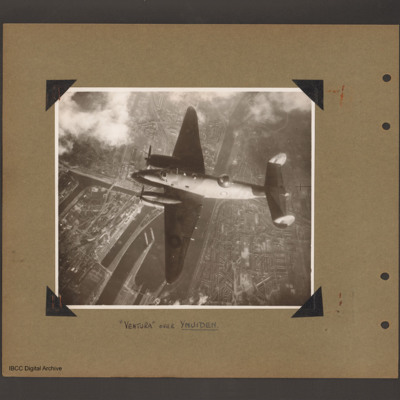
Aerial vertical photograph of Ventura flying over canals and town. A Ventura coded YH of 21 squadron flies from right to left. Below is a canal which splits into a number of channels and a branch goes up into the town on the left side. Town buildings…

PBanksP15010092.jpg
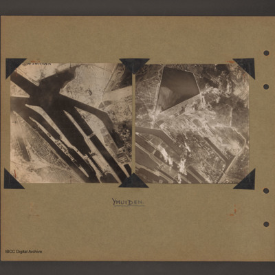
On the left an aerial vertical photograph of canals and locks. Multiple canal channels go from top left to bottom centre which are at the North Sea end of the Noordzeekanaal at Ijmuiden. There are various lock gates on each canal. There is a possible…

PBanksP15010091.jpg
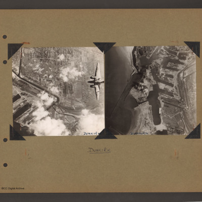
On the left an aerial vertical photograph of town, canal and docks. A canal zigzags from top left down, right and the left back towards dockyard in the bottom left. A town with dwellings and industrial areas lies mostly to the right of canal. The…

PBanksP15010089.jpg
Aerial vertical photograph of docks. Three moles extend from the bottom to just over half way up. The right hand mole is covered with dockyard installations, the other two are mostly bare. Bomb impacts are visible in the water between the right hand…

PBanksP15010088.jpg
Aerial vertical photograph of docks. Along the top four moles below which an interconnected water way. Below is land with a narrow water passage slanting down towards the centre bottom. The moles and land have various scattered dockyard…

PBanksP15010087.jpg
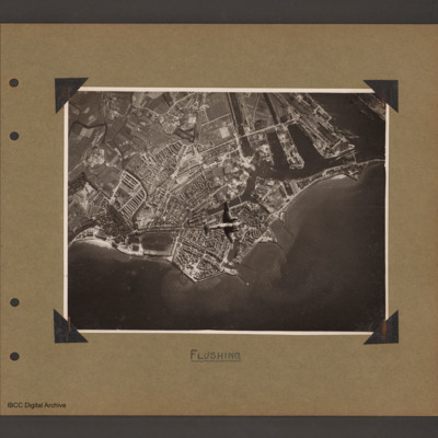
Aerial vertical photograph of coastline with town and docks. Coastline runs from mid left to right with a broad peninsular in the centre on which is a large town with docks. There are five jetties/piers running out into the sea. There is a Ventura…

PBanksP15010062.jpg
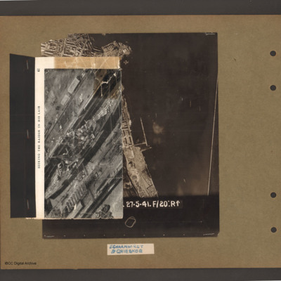
On top an aerial inclined photograph of a warship inside a dock with moles either side. Title 'Seeking the raider in his lair'. Underneath an aerial vertical photograph of a coastline lined with dock facilities and buildings running top to bottom. At…

PBanksP15010061.jpg
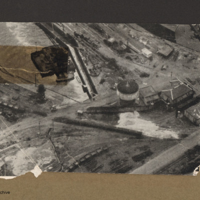
Aerial incline view of railway lines and dock. Top left is a dock basin containing a large floating object with a small boat alongside the bottom side. Three railway lines go from left to right each with lines of goods wagons.Right centre is tower…

PBanksP15010049.jpg
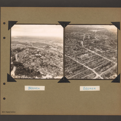
On the left an aerial inclined photograph of a city on the left bank of a river. At the bottom left a park with trees and lakes. To the right of the park a road curves around a large built up area with a twin spire church at its centre. There is a…

PBanksP15010047.jpg
On the left an aerial inclined photograph of a city on two sides of a river. The river flows from centre right to left with three inlets leading to two waterways on the far side. The whole land area is covered with buildings with some in the…

PBanksP15010044.jpg
On the left an aerial inclined photograph showing a wide river flowing right to left through the centre of a city of Cologne, In the centre the Hohenzollern railway bridge with the centre spans collapsed into the river. On the far side the railway…

PBanksP15010043.jpg
On the left an aerial inclined photograph looking north showing a city with a river on the right. In the centre Cologne Cathedral with the railway station just beyond. In the foreground several damaged multistory buildings and areas of rubble. In the…

PBanksP15010042.jpg
On the left an aerial inclined photograph showing a city landscape with many multistory buildings. In the foreground several scattered damaged multistory buildings surrounded by rubble. In the centre buildings are more contiguous and intact but…

PBanksP15010033.jpg
Aerial inclined photograph showing industrial buildings in a city landscape. At the bottom long factory buildings go from left to right with areas of damaged roofs on the nearside. Above this area another damaged industrial complex is orientated…

PBanksP15010031.jpg
Aerial inclined photograph showing snow covered, mostly industrial landscape. In the foreground multistory town buildings with some showing signs of damage. One quarter way up, just left of centre is a church with damaged tower and roof. Beyond this…
Output Formats

atom, dc-rdf, dcmes-xml, json, omeka-xml, rss2