Browse Items (687 total)
- Conforms To is exactly "Geolocated"
Sort by:
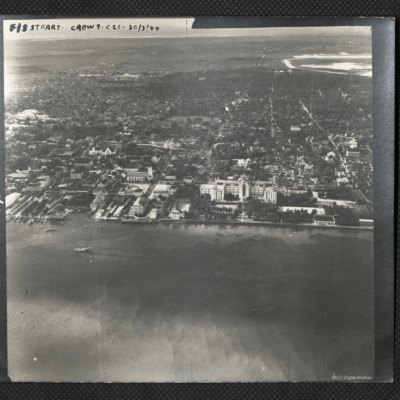
The British Colonial Hotel, Nassau
An oblique aerial photograph of the centre of Nassau with the British Colonial Hotel in the centre. It is captioned 'F/S Stuart Crew 9 . C21 . 30/3/44'
Tags: aerial photograph
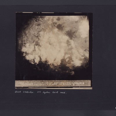
Bad Oldesloe
Target photograph showing roads with houses and fields and large amount of smoke in the centre. Captioned '3946 WIT 24.4.45//7" 8000 340 1043, Bad Oldesloe, 10ANM590T.2 ANM64DT.C32 secs F/O Rosser 115'. Underneath 'Bad Oldesloe, 115 Sqdns last raid'.
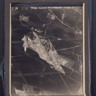
Bergen-Belsen concentration camp
Aerial photograph showing a camp in open country side. Captioned 3110 T4/35 19 Jun 45. F20" // McCulloch.
Identification kindly provided by Kim Roller of the Finding the location WW1 & WW2 Facebook group.
Identification kindly provided by Kim Roller of the Finding the location WW1 & WW2 Facebook group.
Tags: aerial photograph; Holocaust
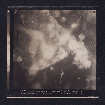
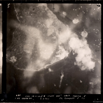
Tirpitz
Target photograph showing shoreline, with smoke obscuring the island of Hakøya within Tromsø fjord. Battleship Tirpitz can be seen just right of centre through smoke. Three water-spouts from earlier explosions above and to the right. Anti-aircraft…
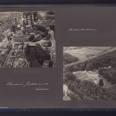
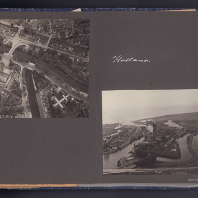
Amsterdam Leidseplein district and Paleis Soestdijk
Two air to ground photographs, the first showing the Leidseplein area in Amsterdam with the Hirschgebouw building. Captioned 'Amsterdam'.
The second showing a large building in open country is captioned 'Princess Juleana [Juliana] Palace'.
The second showing a large building in open country is captioned 'Princess Juleana [Juliana] Palace'.
Tags: aerial photograph
Amsterdam and Muiden
Four photographs, two air to ground, one showing Amsterdam canals near Rijksmuseum, the other near Muiden showing some flooded areas.
The second page has two photographs the first shows a crowd in a city street in Belgium, the second shows five…
The second page has two photographs the first shows a crowd in a city street in Belgium, the second shows five…
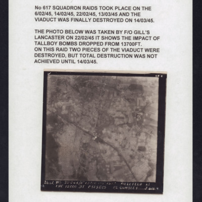
Bielefeld: Vielesible viaduct
Target photograph of Bielefeld Viaduct. Railway runs left to right across centre with Johannisbach river running top to bottom and Gummibahn railway by-pass running from bottom centre and joining the main railway to left of viaduct. One or more bomb…
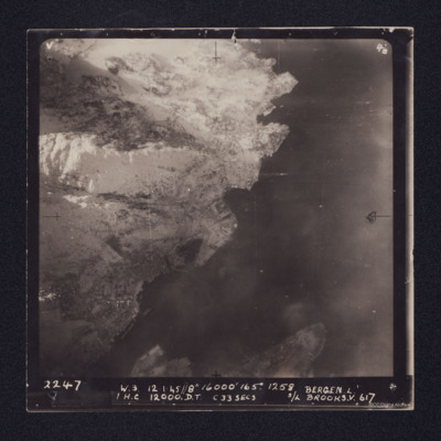
Bergen Submarine Pen
Target photograph of Bergen Submarine pen. Coastline runs bottom left to top right with sea to right. Ubåtbunkeren Bruno is the square structure in the centre of the image. The town of Bergen is in the left hand corner, with port facilities and…
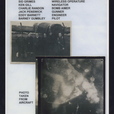
Tirpitz
Top - six aircrew standing in line behind a Lancaster, Captioned 'Crew from left to right, Sid Grimes wireless operator, Ken Gill navigator, Charlie Randon bomb aimer, Jack Penswick gunner, Eddy Barnett engineer, Barney Gumbley pilot'.
Bottom target…
Bottom target…
Tirpitz
A vertical aerial photograph of the bombing of the Tirpitz. Much of the image is obscured by smoke and explosions. Tirpitz can be seen right of centre. Anti-aircraft fire can be seen to the top of the photograph. Three bomb explosions in the water…
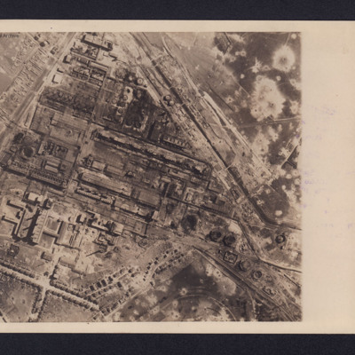
Gelsenkirchen Oil Plant
An aerial reconnaissance photograph of the oil plant at Gelsenkirchen. On the reverse is a typed note with brief details about the operation. It was intended for publication in newspapers. Bomb craters are visible throughout the photograph with much…
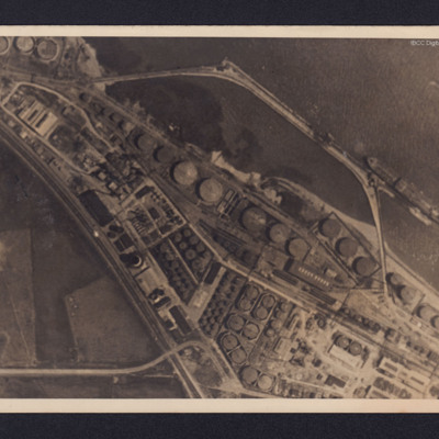
Donges Oil Refinery, France
Two reconnaissance photographs of the Donges oil refinery, near Nantes in France before and after the bombing operations.
The photographs were released for publication in newspapers.
The second photograph shows extensive damage with many buildings,…
The photographs were released for publication in newspapers.
The second photograph shows extensive damage with many buildings,…
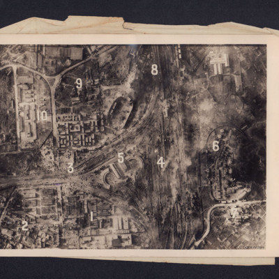
Heavy Damage After Big Allied Air Attack on Naples
A reconnaissance photograph showing bomb damage to an industrial area of Naples centred on railway marshalling yard. Extensive bomb craters and damage to the railway yards and surrounding buildings is visible throughout. Ten numbers are marked on the…
Berlin Short Wave Station Charlottenburg
Reconnaissance photograph of the short wave radio station at Charlottenburg, Berlin. Small amount of bomb damage is visible, with a few roofless buildings, The radio mast (Funkturm) can be seen by its shadow from its base at the right towards the…
Berlin Short Wave Station
A vertical aerial photograph of bombed buildings. These are two exhibition buildings of the Charlottenburg Fairgrounds adjacent to the Berlin Short Wave Radio transmitter. On the reverse is a typed note dated 18 April 1944 explaining the function of…
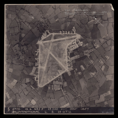
RAF Bruntingthorpe
A vertical aerial photograph of Bruntingthorpe. An approximate scale and a north arrow has been annotated on the image. Also at the bottom is ' 5 BTPE 14.6.43//5" 13,000
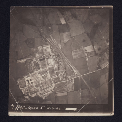
Royal Electrical & Mechanical Engineers (REME) Old Dalby, 35 Base Workshops
Aerial photograph of a newly constructed facility with rail tracks leading into at least two tunnels.
It is annotated '711 812 6000 5" 11-6-44'
It is annotated '711 812 6000 5" 11-6-44'
Tags: aerial photograph
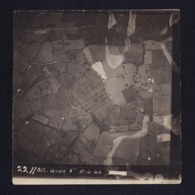
Wardley west of Uppingham
A vertical aerial photograph taken over fields. A road meanders from left to right.
It is annotated '2211 812. 6000 5" 11-6-44'
It is annotated '2211 812. 6000 5" 11-6-44'
Tags: aerial photograph
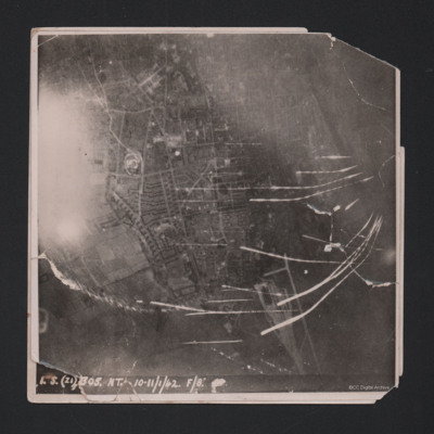
Wilhelmshaven
Target photograph showing built up area of Wilhelmshaven. Photograph is orientated with north to the left. Ems-Jade-Kanal is running from top to middle right of photograph. Railway goods yard towards bottom. Streaks of light and anti-aircraft fire…
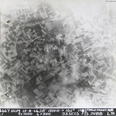
Tirlemont airfield
Target photograph taken during daylight attack on Tirlemont (Goetsenhoven) airfield. Patchwork of fields with aircraft dispersal hardstands to left and right of explosions and smoke centred on airfield itself. Village of Bost is to the bottom left…
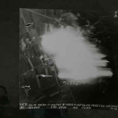
Foret Du Neippe
Night target photograph showing roads and glare in centre. Captioned '4271 HLM.28/29-7-44//NT8" 10000 >150.0400.Foret Du Neippe. B1. 18x500 c21secs F/S Jubb M76'.
This item was sent to the IBCC Digital Archive already in digital form. No better…
This item was sent to the IBCC Digital Archive already in digital form. No better…
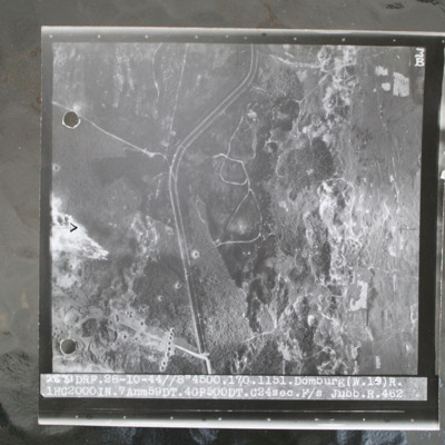
Domburg
Target photograph of open heathland with canalised ditch running top to bottom. The ditch has tracks either side and several crossing points. Craters are visible, particularly in lower left with one row crossing ditch with one crater visible within…

