Description of enclosures concerning flying accident 24 September 1940
Title
Description of enclosures concerning flying accident 24 September 1940
Description
List and describes enclosures A, B, C, D, E and F. A is map of are round Rothes and some details of crash. B - a cairn marking crash site rebuilt by friend. C flying accident card. D - the wreckage. E another photo of wreckage. F photo taken near crash site.
Temporal Coverage
Coverage
Language
Type
Format
Two page handwritten document
Conforms To
Publisher
Rights
This content is available under a CC BY-NC 4.0 International license (Creative Commons Attribution-NonCommercial 4.0). It has been published ‘as is’ and may contain inaccuracies or culturally inappropriate references that do not necessarily reflect the official policy or position of the University of Lincoln or the International Bomber Command Centre. For more information, visit https://creativecommons.org/licenses/by-nc/4.0/ and https://ibccdigitalarchive.lincoln.ac.uk/omeka/legal.
Contributor
Identifier
SFieldPL907804v10012-0001
Transcription
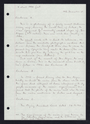
x about 1530 feet
14th December 01
Enclosure A.
This is a photocopy of a fairly recent Ordnance Survey map, showing the small town of Rothes, the river Spey, and the currently wooded slopes of Ben Aigan (471 metres [inserted] x [/inserted]). There was much less forestry in 1940.
The [underlined] exact [/underlined] crash site is hard to determine. We believe from the available photographic evidence that it was in/near the Sandyhill Burn close to where the present day Speyside Way meets the burn. (You can locate this position by following the grid line on the map eastwards from Rothes.)
Just west of the summit of Ben Aigan, the map shows a Cairn. This is the memorial cairn built by Ian’s father in 1940. See Enclosure B.
Enclosure B.
In 1995 a friend living close to Ben Aigan kindly re-built the cairn from the stones which over the years had collapsed or been interfered with by people unaware of the cairn’s significance. [inserted] [two symbols] [/inserted] Our friend took the photo of the cairn and also the view from the cairn westwards to Rothes and beyond.
Enclosure C.
The Flying Accident Card dated 24.9.40.
[two symbols] The significance of the cairn is now known to the Forestry Commission and the Libraries in Elgin and Keith.
[page break]
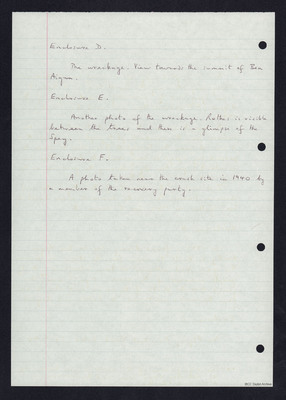
Enclosure D.
The wreckage. View towards the summit of Ben Aigan.
Enclosure E.
Another photo of the wreckage. Rothes is visible between the trees and there is a glimpse of the Spey.
Enclosure F.
A photo taken near the crash site in 1940 by a member of the recovery party.
Collection
Citation
“Description of enclosures concerning flying accident 24 September 1940,” IBCC Digital Archive, accessed July 9, 2024, https://ibccdigitalarchive.lincoln.ac.uk/omeka/collections/document/37114.
Item Relations
This item has no relations.


