Browse Items (4469 total)

  • Tags: bombing

LPennLE413929v1.pdf
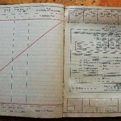
Pilots flying log book for L E Penn, covering the period from 31 December 1942 to 26 September 1945. Detailing his flying training, operations flown and instructor duties. He was stationed at RCAF Dauphin, RCAF Pennfield Ridge, RCAF Yarmouth, RAF…

BPayneTPPayneTPv1.pdf
An autobiography of Tom Payne, mainly pre-war in Hemel Hempstead. At the start of the war he became a fire watcher. His cousin, Vivian Gunning, died in June 1940 whilst flying in a Blenheim. He recalls bombing and low flying German bombers. He joined…

CWittyAR-170323-010116.jpg
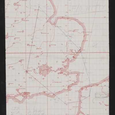
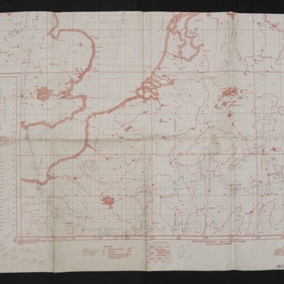
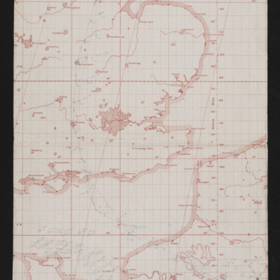
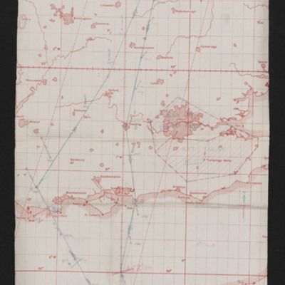
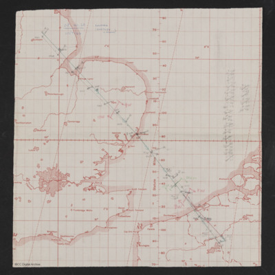
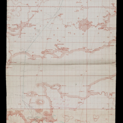
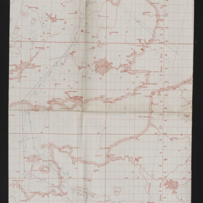
Map showing south east England and Northern France with pencilled route from Lincoln area to Pas De Calais area. Annotated 'Op No. 29, 28/8/44'. On the reverse 'Op No. 29, Fromentel, 28/8/44'.

CWittyAR-170323-010112.jpg
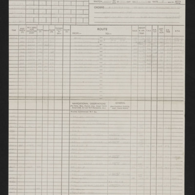
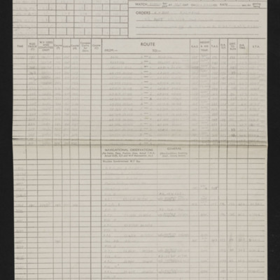
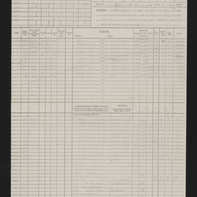
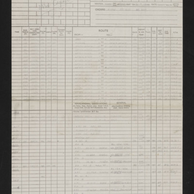
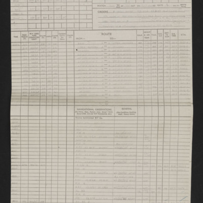
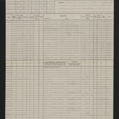
Details of squadron, aircraft, captain, navigator, date, orders, route and three pages of en-route navigation observations. Annotated with blue pen. Note on top right 'Op No. 28 (Kiel)'.

CWittyAR-170323-010110.jpg
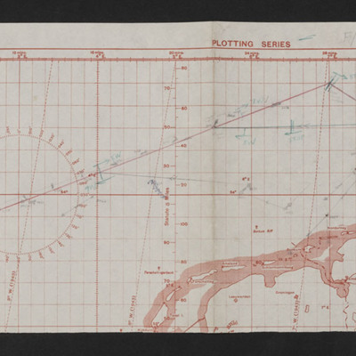
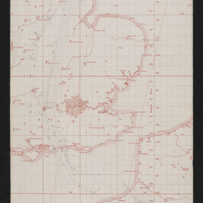
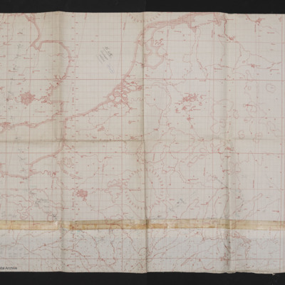
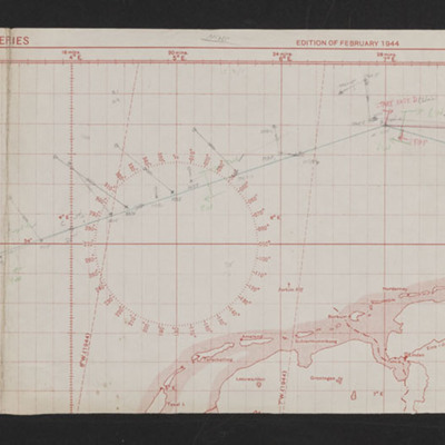
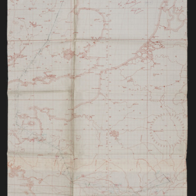
Map showing part of east England, Netherlands and north Germany with pencilled route from Lincoln area to Kiel. Annotated bottom left 'Op No. 28, 26/8/44'. On the reverse 'Op. 28, Kiel 92nd time), 26/8/44'.

CWittyAR-170323-010109.jpg
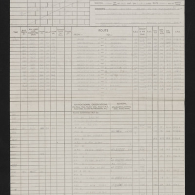
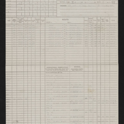
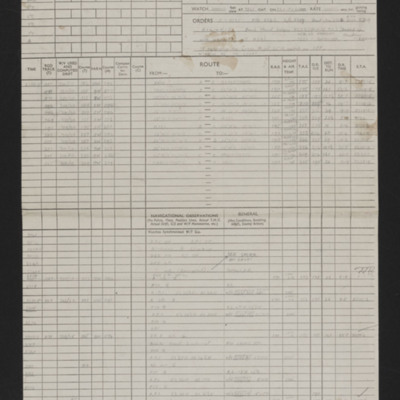
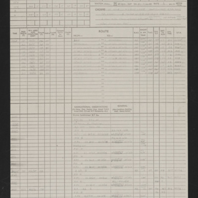
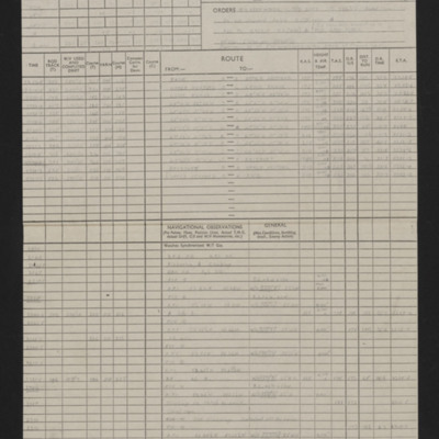
Details of squadron, aircraft, captain, navigator, date, orders, route and four pages of en-route navigation observations. Note on top right 'Russelsheim (Nr Mainz), Op No 27'.

CWittyAR-170323-010105.jpg
Map showing south east England, France and Germany with route from Lincoln area to a target west of Frankfurt. Annotated top left 'Op No. 27, 25/8/44'.

CWittyAR-170323-010098.jpg
Details of squadron, aircraft, captain, navigator, date, orders, route and two pages of en-route navigation observations. annotated with blue pen. Note on top right 'Op No 25'.

CWittyAR-170323-010093.jpg
Map showing south east England and northern France with pencilled route from Lincoln area to a target north of Paris. Annotated top left 'Op No. 25, 3/8/44'. On the reverse 'Op 25, (3/8/44), Trossy'.

CWittyAR-170323-010092.jpg
Details of navigator, date, orders, route and one and and a half pages of en-route navigation observations. Note on top right 'Op No 24, Pas de Calais'.

CWittyAR-170323-010089.jpg
Map of south east England and northern France with pencilled route from Lincoln area to target south of Abbeville. Annotated top middle 'Op. No. 24, 2/8/44'. On the reverse 'Op. No. 24. Les Cateliers'.

CWittyAR-170323-010087.jpg
Details of navigator, date, orders, route and one and and a half pages of en-route navigation observations. Note on top right 'Op No 23'.

CWittyAR-170323-010085.jpg
Map showing south east England and northern France with pencilled route from Lincoln area to Normandy. Annotated top right 'Op. No. 23, 30/7/44'. On the reverse 'Op 23, 30/7/44, Caumont'.

CWittyAR-170323-010081.jpg
Details of squadron, aircraft, captain, navigator, date, orders, route and four pages of en-route navigation observations. Note on top right 'Op No 22, Stuttgart'.

CWittyAR-170323-010080.jpg
Map showing south east England, northern France and west Germany with pencilled route from Lincoln area south of Paris to Stuttgart. Annotated top middle 'F/O Witty, Stuttgart, 24/7/44, 22nd Op'.

CWittyAR-170323-010079.jpg
Details of navigator, date, orders, route and two and and a half pages of en-route navigation observations. Annotated in blue pen. Note on top right 'Op No 21

CWittyAR-170323-010077.jpg
Map showing east England, North Sea and northern Netherlands, Germany and southern Denmark with pencilled route from Lincoln area to Kiel'. Annotated on left 'Op No 21, 23/7/44'.

CWittyAR-170323-010075.jpg
Details of squadron, aircraft, captain, navigator, date, orders, route and page and half en-route navigation observations. Annotated in red pen. Note on top right 'Op No 20, Courtrai (Kurtrijk) Belgium)'.

CWittyAR-170323-010073.jpg
Map showing south east England northern France, Belgium and Netherlands. Pencilled route from Lincoln area to just north of Lille. Annotated top left 'Op No. 20, 20/7/44, Coutrai (Kurtrijk Belgium)'. On the reverse 'Op. No. 20 (20/7/44), Courtrai)'.

CWittyAR-170323-010069.jpg
Details of navigator, date, orders, route and two and and a half pages of en-route navigation observations. Annotated in blue pen. Note on top right 'Op No 19 (Tours)'.

CWittyAR-170323-010067.jpg
Map showing south England and northern France with pencilled route from Lincoln area to Tours. Annotated top right 'Op. No. 19 (Tours), 12/7/44'. On the reverse 'Op No. 19 12/7/44, (Tours)'.

CWittyAR-170323-010063.jpg
Details of squadron, aircraft, captain, navigator, date, orders, route and two and an a half pages of en-route navigation observations. Annotated in red pen. Note on top right 'Op No 18 (Dijon)'.

CWittyAR-170323-010061.jpg
Map showing south east England and northern France with pencilled route from Lincoln area to Dijon. Annotated top right 'F/O Witty, Dijon'.

CWittyAR-170323-010057.jpg
Details of navigator, date, orders, route and two and a half pages of en-route navigation observations. Annotated in blue pen. Note on top right 'Op No 17'.

CWittyAR-170323-010056.jpg
Map showing southern England and northern France with pencilled route from the Lincoln area to target in Orleans. Annotated top right 'Op No. 17, 3/7/44'.
Output Formats

atom, dc-rdf, dcmes-xml, json, omeka-xml, rss2