Browse Items (754 total)
- Tags: target photograph
Sort by:
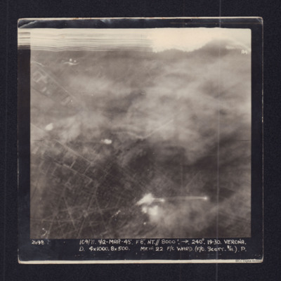
Verona
Target photograph showing town streets and explosions centre and bottom centre. Captioned '2698 104/71 11/12 Mar 45 F8 NT//8000 ft 240 degrees Verona, D 4x1000, 8x500 Mk III 22 F/O Ward (F/O Scott B/A) P.'.
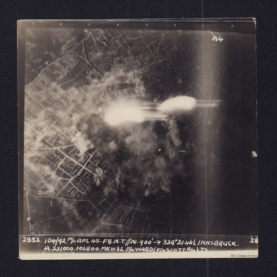
Innsbruck
Vertical aerial target photograph of Innsbruck. The ground detail shows mainly residential areas while in the centre of the image there is smoke from explosions and a number of flashes from ordnance. It is captioned:
2852 104/92 10/11 APL 45…
2852 104/92 10/11 APL 45…
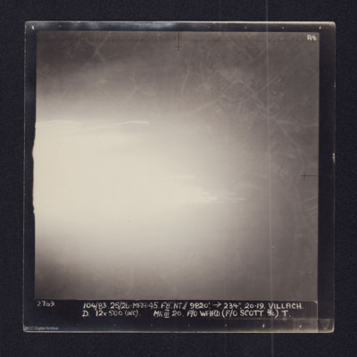
Villach
Target photograph of Villach showing a large area of very bright glare to the left. Elsewhere some road and street details are visible. It is captioned:
2769 104/83 25/26-MAR-45. F8". NT//9,820' →234º 20.29. VILLACH
D 12x500 (INC) MkIII 20 F/O…
2769 104/83 25/26-MAR-45. F8". NT//9,820' →234º 20.29. VILLACH
D 12x500 (INC) MkIII 20 F/O…
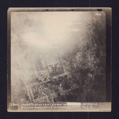
Brescia
Aerial vertical target photograph of Brescia, orientated with south west at the top edge. The image shows
good detail of the town's streets with the distinctive Cimitero Vantiniano in the centre. In the upper centre is a glare from a large fire or…
good detail of the town's streets with the distinctive Cimitero Vantiniano in the centre. In the upper centre is a glare from a large fire or…
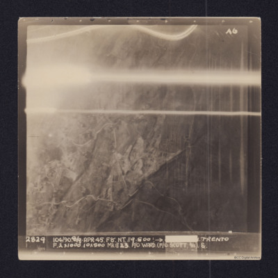
Trento
Vertical aerial target photograph of Trento. Some ground details, mainly roads, are visible as is open countryside. In the upper part are several light trails from ordnance. It is captioned:
2829 104/90. 8/9-APR-45. F8". NT.//9,500'.→[redacted]…
2829 104/90. 8/9-APR-45. F8". NT.//9,500'.→[redacted]…
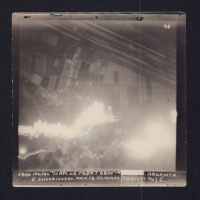
Argenta
Target photograph showing fields in top half and town and roads below. Straight lines running top left to middle right are the River Reno and beyond it, the wider Canale Della Botte. Tracer lines in bottom left and explosions left and right bottom.…
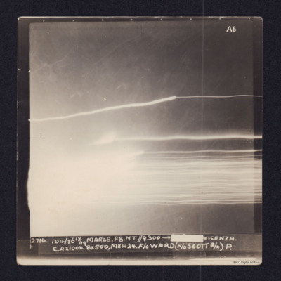
Vicenza
Target photograph showing tracer lines and explosion. Captioned
2716, 104/76 18/19 MAR45. F8. N.T.//9,300' →[redacted] VICENZA
C 4x1000. 8x500. MkIII 24. F/O WARD (F/O SCOTT B/A) P.
2716, 104/76 18/19 MAR45. F8. N.T.//9,300' →[redacted] VICENZA
C 4x1000. 8x500. MkIII 24. F/O WARD (F/O SCOTT B/A) P.
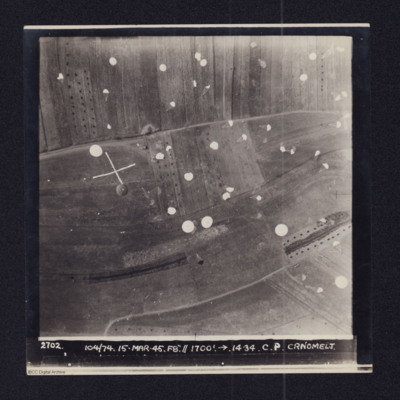
Črnomelj
Daylight vertical aerial photograph of a supply drop atČrnomelj. Detail is very clear and numeroous parachutes can be seen descending and landing in the fields. The photo is captioned:2702 104/74 14-MAR-45. F8".//1700'.→ 14.34. C.P. CRNOMELJThe…
Brück
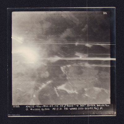
Two copies of a target photographs taken on an operation to Brück. Smoke from explosions and light trails from tracer. Both copies are captioned:
'2723 104/77. 19/20-MAR-45. F8 NT//9000' → 355°. 22.021/2 BRUCK M/YDS.
G. 4x1000. 8x500 Mk III 21.…
'2723 104/77. 19/20-MAR-45. F8 NT//9000' → 355°. 22.021/2 BRUCK M/YDS.
G. 4x1000. 8x500 Mk III 21.…
Freilassing
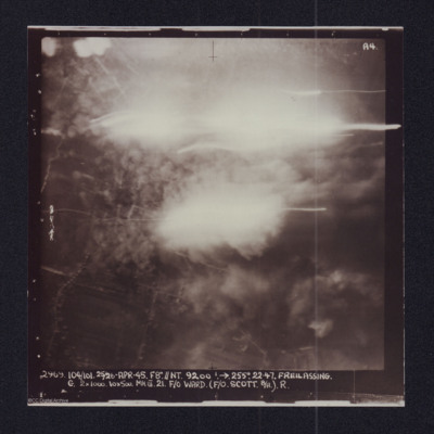
Target photograph showing explosions. Captioned '2969 104/101, 25/26 Apr 45, F8//NT 9200 ft, >255 degrees.22.47 Freilassing, G 2x1000, 10x500 Mk III 21 F/O Ward (F/O Scott B/A) R'. Two versions of the same image.
Villach
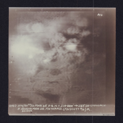
Target photograph showing explosions and smoke. Captioned '2747 104/80 22/23 Mar 45. F8 NT//10,000ft > 283 degrees, 20.17 Villach, F 10x500, MkIII 25 F/O Ward (F/O Scott B/A, R, 2x 1000'. Two versions of the same image.
Monfalcone
Daylight vertical aerial photograph of an operation in progress on Porto Monfalcone with Solvay works and CRDA facilities, orientated with West at the upper edge. The ground detail is clear and explosions and smoke cover much of the port itself with…
Gelsenkirchen (Buer) and Le Havre
Information for two operations. The first has navigation logs and a plotting map for the operation to Le Havre on the 11th September, this is the crews 21st operation. The second has navigation logs, a plotting map and a target photograph for an…
Nordstern
The three navigation sheets give details of the planned routes out and back as well as observations and events during the operation. The map plots the routes to be flown.
Note from the Navigation Officer 'Satisfactory. Why not use 40[degree] method…
Note from the Navigation Officer 'Satisfactory. Why not use 40[degree] method…
Kiel
Operation 24 for the crew. Three navigation log sheets showing the route to be flown and the observations taken. A plotting map showing the route to the target. A target photograph in which a large area of bright light obscures everything on the…
Sterkade
Operation 26 for the crew. Three navigation log sheets showing the route to be taken and the observations made throughout the operation. The plotting map shows the coasts of England and Holland and the route to Sterkrade.
The target photograph…
The target photograph…
Bochum
Operation 28 for the crew. Two navigation sheets with only the Observations on route recorded. Part of a plotting map showing the route to and from Bochum.
A target photograph in which the ground is almost completely obscured by smoke or cloud. It…
A target photograph in which the ground is almost completely obscured by smoke or cloud. It…
Domburg/Westkapelle, Walcheren Island
Operation 31 for the crew. Three sheets of a Navigation Log showing the route to be taken to and from the target and the Observations made along the way. Part of a Plotting Map showing the route to and from Domburg on Walcheren Island. On the reverse…
Dusseldorf
Operation 33. Three Navigation log sheets recording the routes and observations. A plotting map showing the routes out to Dusseldorf and back.
A target photograph in which everything is obscured, mainly by illuminated smoke or cloud. Caption for…
A target photograph in which everything is obscured, mainly by illuminated smoke or cloud. Caption for…
Bochum
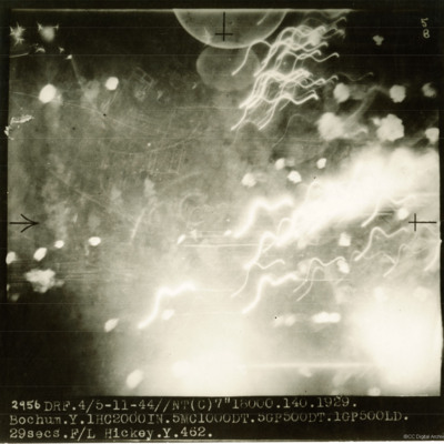
A target photograph taken on an operation to Bochum. Most of the image shows puffs of smoke and light trails but some ground detail can be seen through the haze. The photograph is annotated '5B and captioned:'2956 DRF. 4/5-11-44//NT(C) 7" 18000.…
Ladbergen
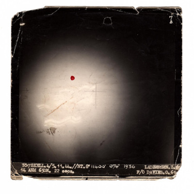
A target photograph taken on an operation to Ladbergen. There is a large area of glare with some trails of light but no ground detail.
It is annotated '7B' and captioned:
'3517 SKELL.4/5.11.44//NT.8" 11400' 074° 1936 LADBERGEN. Z. 14 ANM 65DN.…
It is annotated '7B' and captioned:
'3517 SKELL.4/5.11.44//NT.8" 11400' 074° 1936 LADBERGEN. Z. 14 ANM 65DN.…
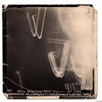
Bremerhaven
A target photograph for an operation to Bremerhaven. On the right there is illuminated smoke or cloud and some light trails. The rest of the image is dark and there is no ground detail. It is captioned:
'2922 SKELL. 18/19.9.44// NT. 8" 15000…
'2922 SKELL. 18/19.9.44// NT. 8" 15000…
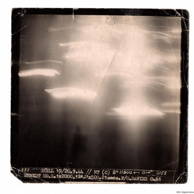
Rheydt
A target photograph taken on an operation to Rheydt. The ground detail is obscured by glare and light trails. Photograph is captioned:
'2533 SKELL 19/20.9.44 // NT (C) 8" 11000 ← 014° 2153
RHEYDT RD.Z. 1x2000, 12 'J' x 500. 21 secs. F/O.…
'2533 SKELL 19/20.9.44 // NT (C) 8" 11000 ← 014° 2153
RHEYDT RD.Z. 1x2000, 12 'J' x 500. 21 secs. F/O.…
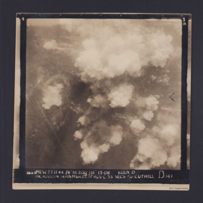
Cologne
Target photograph for an operation to Cologne. It shows clouds of smoke rising up from several locations on the ground. Residential areas and roads are visible, as are some bomb craters in the fields. It is annotated '3B' and captioned:
'[…
'[…
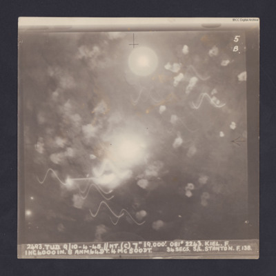
Kiel
Target photograph for an operation to Kiel. It shows light trails and smoke, including multiple Flax bursts but no ground detail. It is annotated '5B' and captioned:
'2493. TUD. 9/10-4-45. //NT. (C). 7". 19,000'. 081 º 2243. KEIL. F.
1HC4000IN. 8…
'2493. TUD. 9/10-4-45. //NT. (C). 7". 19,000'. 081 º 2243. KEIL. F.
1HC4000IN. 8…

