Browse Items (1442 total)
- Tags: aerial photograph
Sort by:
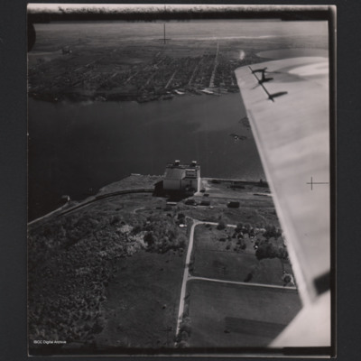
Midland grain elevator
A low angle oblique aerial photograph of Midland grain elevator on the edge of Georgian Bay. It has a railway line with freight wagons. In the distance and on the other side of a coastal inlet are docks and Midland. Part of the view is obscured by an…
Tags: aerial photograph
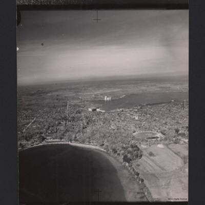
Midland, Ontario
A high oblique aerial photograph of Midland, Ontario with many trees. In the foreground is a lake and in the middle a second lake. There is a large building at the edge of the middle lake and an area of docks. There are also grain silos. In the…
Tags: aerial photograph
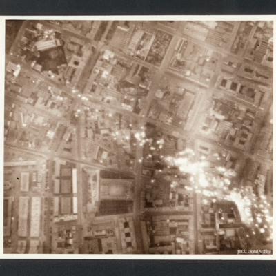
Milan
Target photograph of a Milan eastern district, between Piazza 5 giornate and the central fresh food market, with incendiaries falling down. Scuola di Villa Morosini is visible near the frame border.
Captioned between pages 36-37 of 1956 Memoir…
Captioned between pages 36-37 of 1956 Memoir…
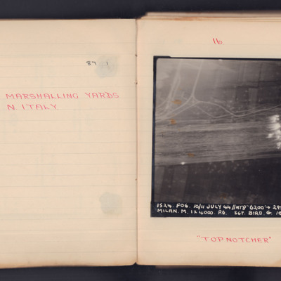
Milan Marshalling Yards N. Italy
A target photograph for an operation to Milan. Some roads are visible and Target Indicators have been laid across, what appears to be, several railway tracks. The photograph is annotated 'A4' and captioned:
'1524. FOG. 10/11 July 44 // NT8" 6200'…
'1524. FOG. 10/11 July 44 // NT8" 6200'…
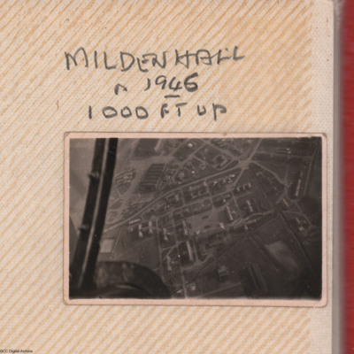
Mildenhall from 1000'
An oblique aerial photograph of RAF Mildenhall showing two hangars and numerous building in the north-west section of the airfield. Annotated 'Mildenhall in 1946 1000 ft up'.
Additional information kindly provided by Andrew Gordon and and Tommy…
Additional information kindly provided by Andrew Gordon and and Tommy…
Tags: aerial photograph; hangar; RAF Mildenhall
Milton Keynes
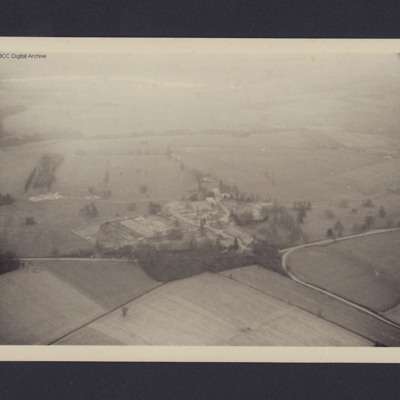
View of the junction of Park road and Bullington End Road, Milton Keynes. Open countryside and fields with site in the centre consisting huts and multi-storey buildings.
Tags: aerial photograph
Milton Keynes
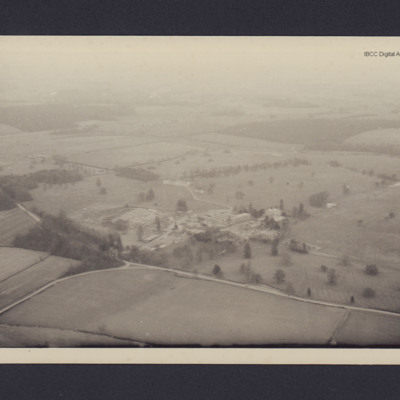
View of the junction of Park road and Bullington End Road, Milton Keynes. Open countryside and fields with site in the centre consisting huts and multi-storey buildings. Annotated 'M1'.
Tags: aerial photograph
Mimoyecques
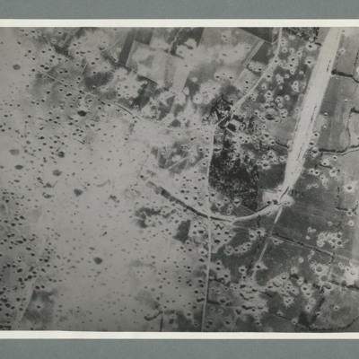
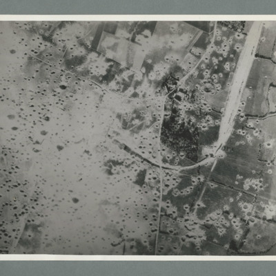
Reconnaissance photograph showing open countryside with fields. A railway runs from top right downwards then loops to the left, culminating in the centre, The left side is covered in multiple craters. Craters on the right side are less concentrated.…
Mimoyecques
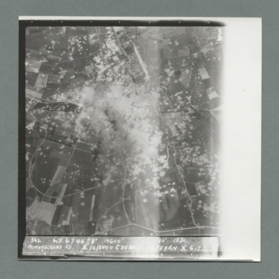
Target photograph showing open countryside with heavily cratered area in the centre. Caption '362, WS, 6.7.44, 8", 15600, [....], 1534, Mimoyecques RD, X, 1 x 12000, C, 35 secs, [..]earn, X, 617'. On the reverse '5:99/5, Photo 282'.
Mimoyecques
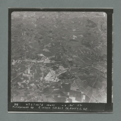
Target photograph showing open countryside with fields and roads. Village on the right side edge just below centre. Caption '358, W.S., 6.7.44, 8", 16400, 134 degrees, 1530, Mimoyecques RD, C, 1 x 12000, C35 secsa, F?O Duffy, C, 617' On the reverse…
Mimoyecques
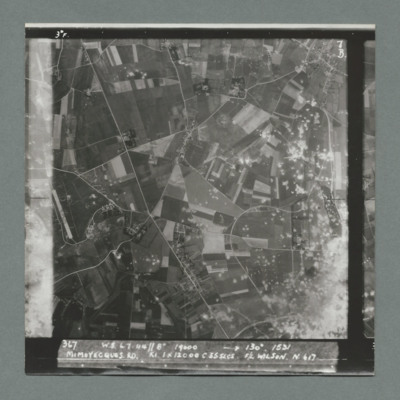
Target photograph showing open countryside with area covered in craters bottom right. There is an airfield on the left edge just below centre. Caption '367, W.S., 6.7.44, 8", 19000, 130 degrees, 1531, Mimoyecques RD, K1, 1 x 12000, C, 235 secs, F/L…
Mimoyecques
Target photograph showing open countryside with fields and roads. There is a large area with craters bottom right extending towards the top.There are other scattered craters throughout the image. Caption '367, W.S.,6.7.44, 8", 130 degrees, 1531,…
Mimoyecques
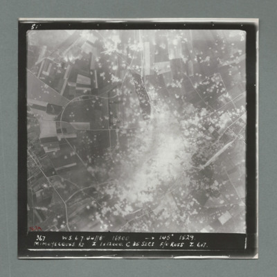
Target photograph showing open countryside with a large area on dense craters in the centre. Caption '367, W.S., 6.7.44, 8", 16800, 145 degrees, 1529, Mimoyecques RD, Z, 1 x 12000, C, 25 secs, F/O Ross, Z, 617'. On the reverse '51:97/7'.
Mimoyecques
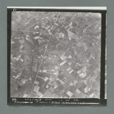
Target photograph showing open countryside with fields. There are prominent roads running bottom left to top centre and top right to left. Caption '372, W.S, 6.7.44, 8", 17000, 140 degree, 1530, Mimoyecques RD, T, 1 x 12000, C, 35 secs, F/L Willsher,…
Mimoyecques
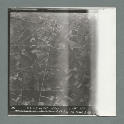
Target photograph showing open countryside with fields. Prominent roads run from top centre to bottom and left centre to right. Caption '376, W.S., 6.7.44, 8", 15800, 136 degrees, 1531, Mimoyecques RD, A, 1 x 12000, F/L Pryor, A, 617'. On the reverse…
Mimoyecques
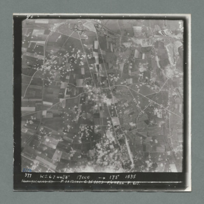
Target photograph showing open countryside with fields. Prominent road runs top centre to bottom and left centre to right. Craters are scattered over most of the image mostly left of centre line. Caption '377, W.S., 7.7.44, 17000, 178 degrees, 1535,…
Mimoyecques
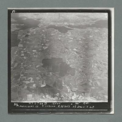
Target photograph showing open countryside with fields. There are forests in the centre and from left to right across the top. Caption '387, W.S., 6.7.44. 8", 16000, 141 degrees 1530, Mimoyecques RD, Y, 1 x 12000, C, 35 secs, F?L Stout, Y, 617'. On…
Mimoyecques
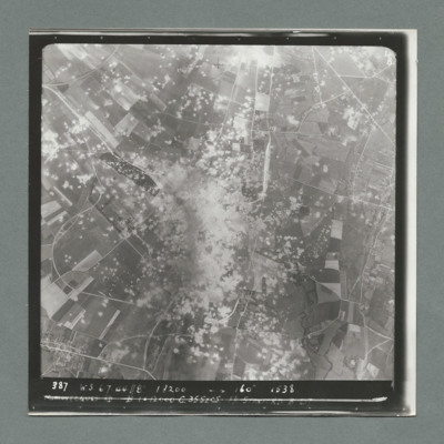
Target photograph showing open countryside with a large area with dense craters in the centre.Smoke can be seen in centre and top centre. Caption '387. W.S. 6.7.44, 8", 18200, 160 degrees, 1538, Mimoyecques RD, B, 1 x 12000, C, 35 secs, F/L Stanford.…
Mimoyecques
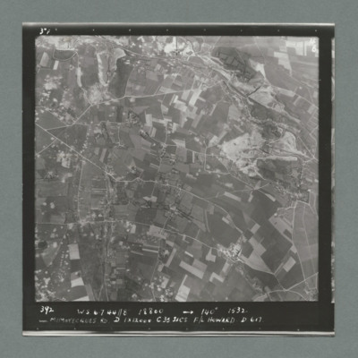
Target photograph showing open countryside with fields. Prominent roads run left to right. There are some craters scattered over the image. Caption '392, W.S., 6.7.44., 8", 18800, 140 degrees, 1532, Mimoyecques RD, D, 1 x 12000, C, 35 secs, F/L…
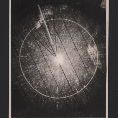
Mine Release photo on H2S
An image taken on H2S as a mine is released. The caption reads '73/1. MDH 13/14.12.44//10000' 338° 10/10 H.1847. Kattagat. The Kullen. 065° 10/15 mls Shepherd K.15'
On the reverse 'Mine release photo on H2S taken by me 14/12/44
"Arrows" are on…
On the reverse 'Mine release photo on H2S taken by me 14/12/44
"Arrows" are on…
Tags: 15 Squadron; aerial photograph; H2S; mine laying; RAF Mildenhall
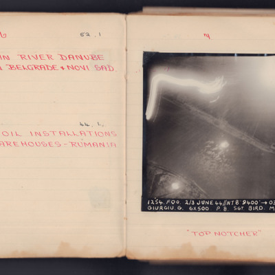
Mining in River Danube Between Belgrade & Novi Sad
A vertical aerial photograph taken during an operation. The top left of the image is obscured by light flashes but the river and both banks are clear. Under the photograph is written "Top Notcher".
It is captioned '1254. Fog. 2/3 June 44 // NT 8"…
It is captioned '1254. Fog. 2/3 June 44 // NT 8"…
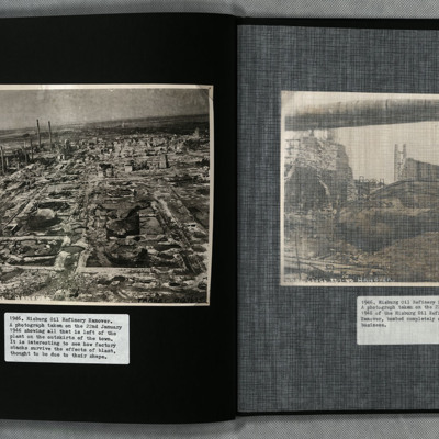
Misburg Oil Refinery
Two photographs showing the remains of the heavily bombed Misburg oil refinery, Hanover. Situated between Misburg-Nord and Misburg-Süd, the site is located west of Anderter Straße. Nearby there are two adjoining canals, Mittelland and Stichkanal…
Tags: aerial photograph; bombing
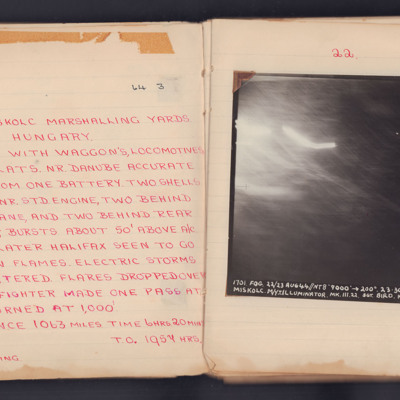
Miskolc
A target photograph for an operation to Miskolc Marshalling Yards. No ground detail is visible, it is dark or obscured by light. The photograph is annotated 'A12' and captioned:
'1701. FOG. 22/23 AUG 44 // NT 8" 9000' ->200° 23.30.
MISKOLC.…
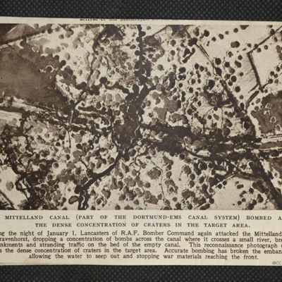
Mittelland Canal
Reconnaissance photograph showing concentration of bomb craters in the target area where canal crossed a small river.

