Browse Items (754 total)
- Tags: target photograph
Sort by:
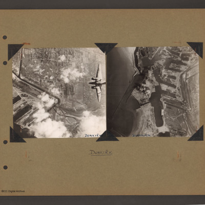
Ventura over Dunkirk and Dunkirk docks
On the left an aerial vertical photograph of town, canal and docks. A canal zigzags from top left down, right and the left back towards dockyard in the bottom left. A town with dwellings and industrial areas lies mostly to the right of canal. The…
Tags: aerial photograph; bombing; target photograph; Ventura
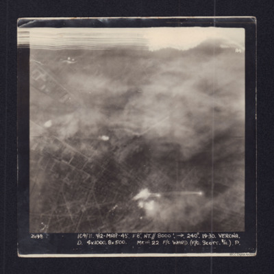
Verona
Target photograph showing town streets and explosions centre and bottom centre. Captioned '2698 104/71 11/12 Mar 45 F8 NT//8000 ft 240 degrees Verona, D 4x1000, 8x500 Mk III 22 F/O Ward (F/O Scott B/A) P.'.
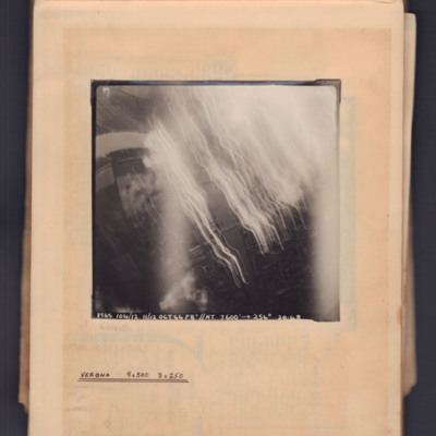
Verona
Target photograph showing river running top left curving to bottom right. Tracer and flares on right side. Captioned '1965, 104/12.11/12 Oct 44, F8, NT, 7600 ft→, 254 degrees, 20.48' . Annotated 'Verona 9x500 3x250'.
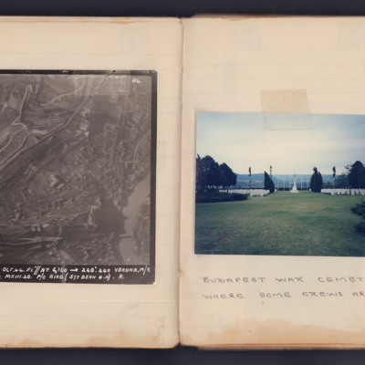
Verona Marshalling Yards and Budapest War Cemetery
First is a target photograph taken during an operation to Verona. In the lower left corner is the Adige River with the Ponte Pietra crossing it. The large building to the left of the river bend is the Castel San Pietro. The ancient city wall, with…
Vicenza
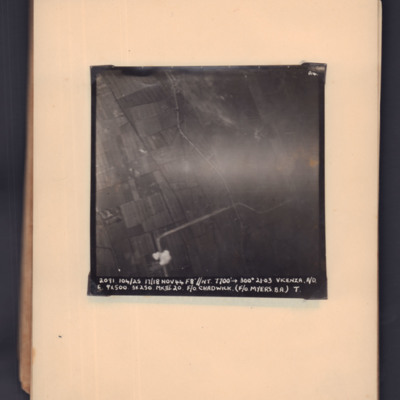
Target photograph of open countryside. Road runs bottom middle zig-zag to middle right. Bomb explosion bottom middle. Captioned '2091, 104/25, 17/18 Nov 44, F8, NT, 7700 ft,→ 300 degrees, 21.03, Vicenza, A/O. E, 9x500, 3x250 MkIII 20, F/O Chadwick.…
Vicenza
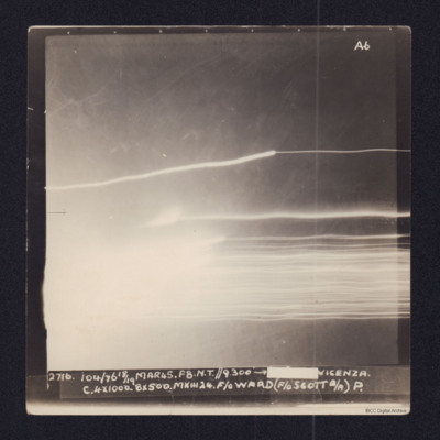
Target photograph showing tracer lines and explosion. Captioned
2716, 104/76 18/19 MAR45. F8. N.T.//9,300' →[redacted] VICENZA
C 4x1000. 8x500. MkIII 24. F/O WARD (F/O SCOTT B/A) P.
2716, 104/76 18/19 MAR45. F8. N.T.//9,300' →[redacted] VICENZA
C 4x1000. 8x500. MkIII 24. F/O WARD (F/O SCOTT B/A) P.
Vicenza and Trento
Two poor quality copies of target photographs of Trento and Vicenza. Neither have any discernible ground detail and only glare and tracer trails can be seen. The upper image is captioned:
2829 104/90. 8/9.APR.45. F8". NT. //9.500 → [redacted]…
2829 104/90. 8/9.APR.45. F8". NT. //9.500 → [redacted]…
Villach
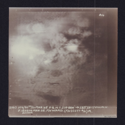
Target photograph showing explosions and smoke. Captioned '2747 104/80 22/23 Mar 45. F8 NT//10,000ft > 283 degrees, 20.17 Villach, F 10x500, MkIII 25 F/O Ward (F/O Scott B/A, R, 2x 1000'. Two versions of the same image.
Villach
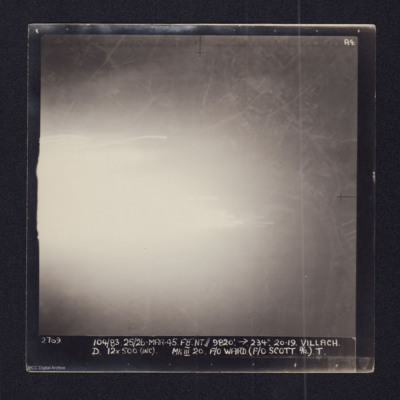
Target photograph of Villach showing a large area of very bright glare to the left. Elsewhere some road and street details are visible. It is captioned:
2769 104/83 25/26-MAR-45. F8". NT//9,820' →234º 20.29. VILLACH
D 12x500 (INC) MkIII 20 F/O…
2769 104/83 25/26-MAR-45. F8". NT//9,820' →234º 20.29. VILLACH
D 12x500 (INC) MkIII 20 F/O…
Villach
Low quality copies of two target photographs of Villach. No ground details are discernible, and both contain a large patch of glare.
The left image is captioned:
2769 104/83 25/26-MAR-45. F8. NT.//9820'.→234º. 20.19. VILLACH
D. 12x…
The left image is captioned:
2769 104/83 25/26-MAR-45. F8. NT.//9820'.→234º. 20.19. VILLACH
D. 12x…
Villeneuve
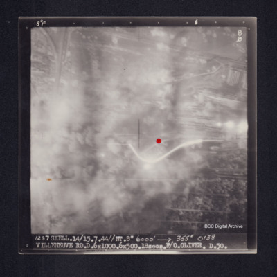
Target photograph of Villeneuve. Red dot right of centre. Centre mainly obscured by smoke and dust, area that is visible is urban, roads and structures visible. Captioned '8°F', '8B', '1297 Skell.14/15.7.44//NT.8" 6000' [arrow] 355° 0138 VILLENEUVE…
Villeneuve
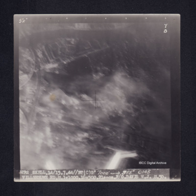
Target photograph of Villeneuve. Urban area, no detail but larger roads and structures are visible. Some light streaks. Captioned '5°F', '7B', '1292 SKELL.14/15.7.44//NT(C)8" 7000' [arrow] 355° 0145 VILLENEUVE RD.U.1X1000.16X500.21secs.F/O DAVIS…
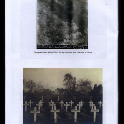
Villers Bocage during Bombing
Two photographs from an album.
#1 is a vertical aerial photograph taken during the bombing at Villers Bocage.
#2 is temporary graves of Bob Cooke and Crew at Tilly-sur-Seulles, Normandy.
#1 is a vertical aerial photograph taken during the bombing at Villers Bocage.
#2 is temporary graves of Bob Cooke and Crew at Tilly-sur-Seulles, Normandy.
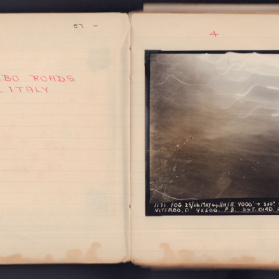
Viterbo Roads
A vertical aerial photograph taken during an operation. Most of the top of the image is obscured by light flashes.
It is captioned '1171 Fog 25/26 May 44 // NT 8" 9000' -> 330° 00.33 Viterbo. D.9x500 P8. Sgt Bird L 104'.
It is captioned '1171 Fog 25/26 May 44 // NT 8" 9000' -> 330° 00.33 Viterbo. D.9x500 P8. Sgt Bird L 104'.
Vitry
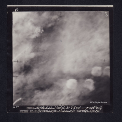
Target photograph of Vitry. No detail visible and almost completely obscured by smoke. Captioned '8°F', '10B', '1147 SKELL.27/28.6.44.//NT(C).8" 5500' [arrow] 065°0151 VITRY RD.U.9X1000.4X500.16secs.P/O DAVIS(.W.J.) U.50'. On the reverse…
Vitry
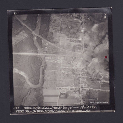
Target photograph of Vitry. Red dot on right side. Partially obscured by smoke and dust, bridges over stream, streets and buildings clearly visible. Captioned '8°F', '7B', '1138 SKELL.27/28.6.44//NT.8" 6000' [arrow] 080° 0147 VITRY…
Vitry
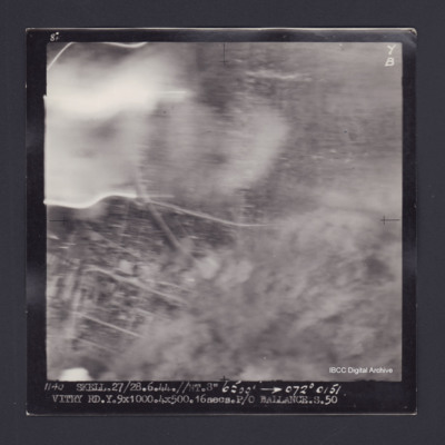
Target photograph of Vitry. Partially obscured by smoke and dust, some light streaks. Street pattern visible but no clear detail. Caption '8° F', '7B', '1140 SKELL.27/28.6.44.//NT.8" 6500' [arrow] 072° 0151 VITRY RD.Y.9X1000.4X500.16secs.P/O…
Vitry
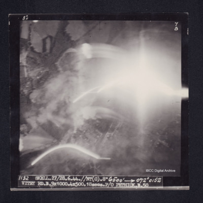
Target photograph of Vitry. Photograph partially obscured by smoke and light streaks. Captioned '8°F', '7B', '1132 SKELL.27/28.6.44.//NT(C).8" 6500' [arrow] 072° 0152 VITRY RD.B.9X1000.4X500.18secs.P/O PETHICK.B.50'. On the reverse…
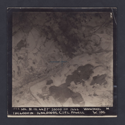
Vohwinkel
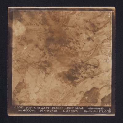
Target photograph of Vohwinkel. In the lower right quadrant rail tracks and sidings are visible, alongside which is a distinctive complex of roads and buildings. The buildings and streets of Gräfrath can be seen at the centre left of the image while…
Vohwinkel
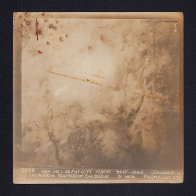
Target photograph of Vohwinkel. Smoke and glare obscures most of the ground and only the vague outlines of some ground features are visible.
It is annotated: "5B" and captioned: "2659 MEP 1/2.1.45//NT(C)7' 19,500. 360º 1944 VOHWINKEL K 1HC4000IN.…
It is annotated: "5B" and captioned: "2659 MEP 1/2.1.45//NT(C)7' 19,500. 360º 1944 VOHWINKEL K 1HC4000IN.…
Vohwinkel
A vertical aerial photograph of Vohwinkel, near Wuppertal, orientated so that the top edge is roughly south. The multi-track railway is obvious and runs from the lower left corner to a large marshalling yard at the mid-right edge. A branch line joins…
Vohwinkel
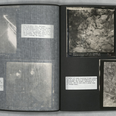
Photo 1 is a vertical aerial photograph of Vohwinkel. The left side of the image is obscured by explosions but there is a great deal of detail visible elsewhere.
Photo 2 is a vertical aerial photograph of an unidentified location. The image is very…
Photo 2 is a vertical aerial photograph of an unidentified location. The image is very…
Vohwinkel -Marshalling Yards
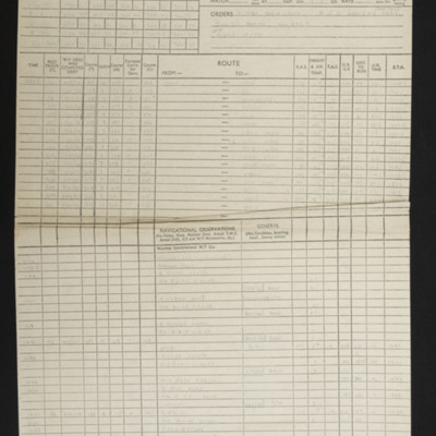
Navigational computations and a chart for an operation to Wuppertal, Vohwinkel marshalling yards. A vertical aerial photograph taken during the attack is included and has the annotation '200 yds 280°' and on the reverse '200 yds 280° Bomb door mod…
Vohwinkel Marshalling Yards
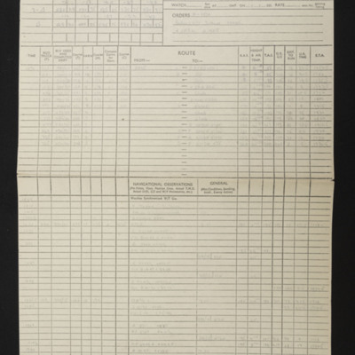
Navigational computations and chart for an operation to Vohwinkel marshalling yards. Included is a vertical aerial photograph with the annotation 'N. A/Pp and on the reverse 'Nr Haan Mod 74'.
Volkel
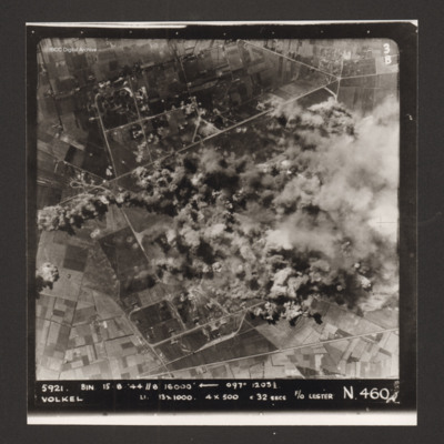
Vertical aerial photograph of the bombing of Volkel airfield. The right hand side, centre of the image is obscured by bomb explosions and smoke. Captioned '5921. BIN 15-8-44 //8 16000' [arrow] 097° 1203 1/2 Volkel Li 13x1000 4x500 c 32 secs F/O…

