Browse Items (1442 total)
- Tags: aerial photograph
Sort by:
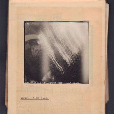
Verona
Target photograph showing river running top left curving to bottom right. Tracer and flares on right side. Captioned '1965, 104/12.11/12 Oct 44, F8, NT, 7600 ft→, 254 degrees, 20.48' . Annotated 'Verona 9x500 3x250'.
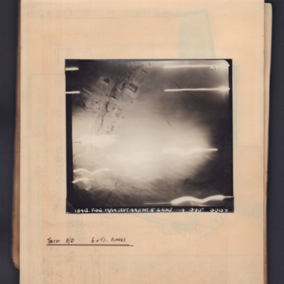
Tatoi aerodrome
Target photograph showing some buildings top left and flares across the bottom. Captioned '1846.Fog, 13/14 Sep 44, NT 8", 6400ft,→ 090 degrees. 0007'. Annotated 'Tatoi A/D 6 x TI flares'.
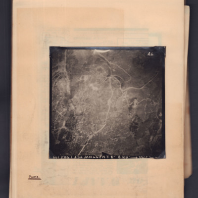
Fiume
Target photograph showing a town with a main road running through from top right to bottom left. Captioned '641, FOG, 1, 21/22 Jan 44, NT 8", 8100ft→ , 330 degrees, [...]'. 'A4' Annotated 'Fiume'.
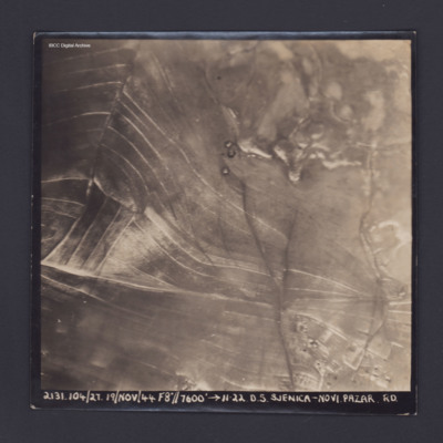
Sjenica Novi Pazar
Target photograph showing fields and on left and built up area bottom right. Captioned '2131.104/27, 19 Nov 44, F8, 7600 ft,→ 11.22, D.S. Sjenica Novi Pazar Rd'.
Salonika
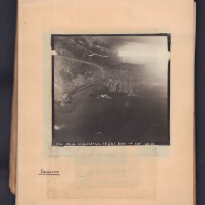
Target photograph showing a coastline running middle left to middle right. Bay on left, town and port towards the right side. Explosions visible in bay. Captioned '1912.104/6, 21/22 Sept 44, F8, NT, 8100 ft,→ 130 degrees, 20.01'. Handwritten below…
Črnomelj
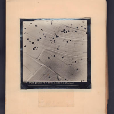
Target photograph showing snow-covered open countryside with parachute shadows. Captioned '2540, 104/52, 2 Feb 45, F8, 950 ft,→ 15.35, K.C. Crnomelj'.
Črnomelj
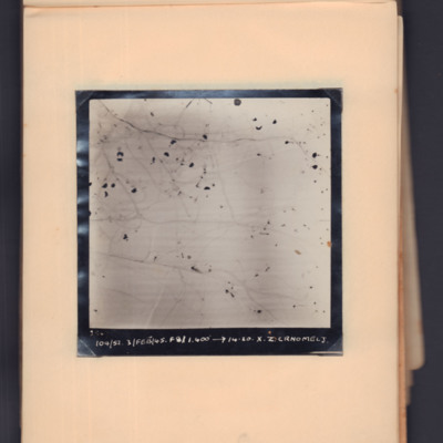
Target photograph showing snow-covered open countryside with parachute shadows. Captioned '2547 104/52, 3 Feb 45, 1400 ft, →14.20, X.Z, Crnomelj'.
Tuzla
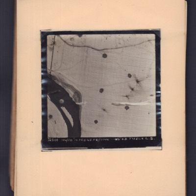
Target photograph showing snow-covered ground with a river middle left to bottom left. A parachute is visible over the river, and parachute shadows are visible on the open ground to the right. Captioned '2599, 104/58, 14 Feb 45, F8, 1000 ft,→…
Vicenza
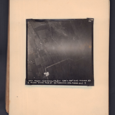
Target photograph of open countryside. Road runs bottom middle zig-zag to middle right. Bomb explosion bottom middle. Captioned '2091, 104/25, 17/18 Nov 44, F8, NT, 7700 ft,→ 300 degrees, 21.03, Vicenza, A/O. E, 9x500, 3x250 MkIII 20, F/O Chadwick.…
Sjenica
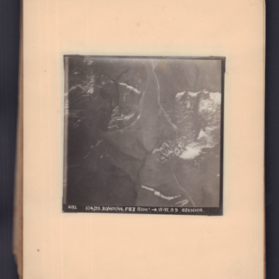
Two prints of the same target photograph showing open countryside. Road runs top middle to bottom right. Captioned '2172, 104/29, 20 Nov 44, F8, 8100 ft, →15.23, S.D. Sjenica'.
Sjenica Novi Pazar
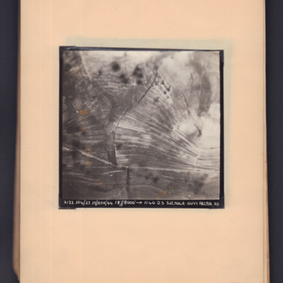
Two prints of the same target photograph showing open countryside with road running bottom left to right. Captioned '2133, 104/27, 19 Nov 44, F8, 8000 ft,→ 1140, DS Sjenica Novi Pazar RD'.
Matsevo
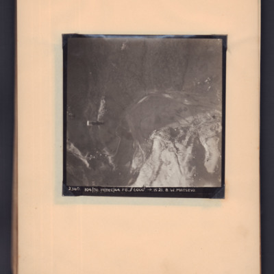
Target photograph showing open countryside. A supply container is visible in mid air on the left hand side, a road snakes from bottom left to centre right. Captioned '2360, 104/38, 19 Dec 44, F8, 6000 ft, →1521, B W Matsevo'.
Road south of Stenica
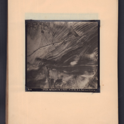
Target photograph showing road running left middle to top right through open countryside. Captioned '2119, 104/26, 18/Nov/44, F8, 9500 ft, →14.45, D.S. Road S. of Stenica'.
Sjenica Novi Pazar
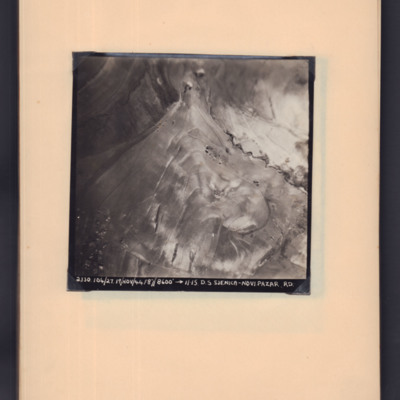
Target photograph showing open countryside with roads through area. Captioned '2130, 104/27.19/Nov/44, F8, 8600 ft,→ 11.15. D.S Sjenica-Novi Pazar RD'.
Matsevo
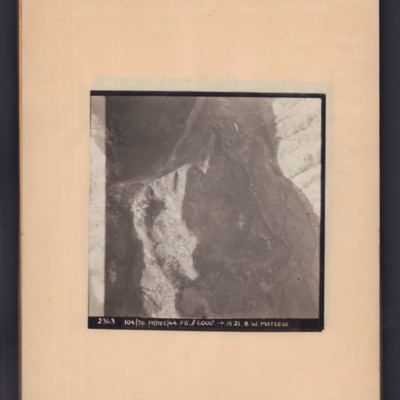
Target photograph of open country with road snaking middle left to top right then to bottom right. Captioned '2363, 104/38, 19/Dec/44, F8, 6000 ft, →5121, B.W.Matsevo'.
Macasvo
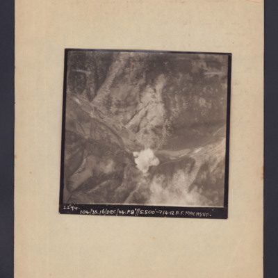
Target photograph showing open countryside with a bomb explosion centre bottom in a valley. Captioned '2294, 104/35, 16/Dec/44, F8, 5500 ft,→14.12, A.F. Macasvo'.
London
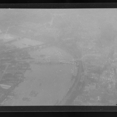
Air to ground view of the Thames and four bridges including Waterloo Bridge. Somerset House and the Strand bottom right.
Tags: aerial photograph
Praia da Vitoria
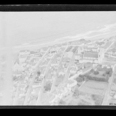
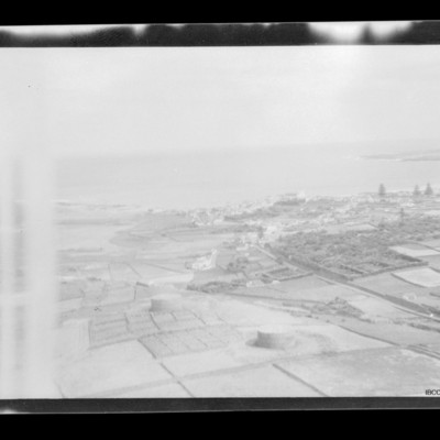
Air to ground view of a town with coast running left to right with sea beyond. Church middle right.
Tags: aerial photograph
Lancaster over river Tamar estuary
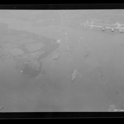
Air-to-air view of Lancaster flying over river Tamar estuary, south of Saltash looking west up the Lynher river. Several ships below.
Tags: aerial photograph; Lancaster
Scott Field
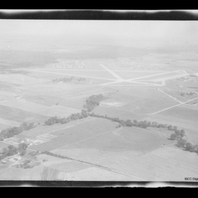
Air to ground view of Scott Field surrounded by open countryside.
Gander Airfield
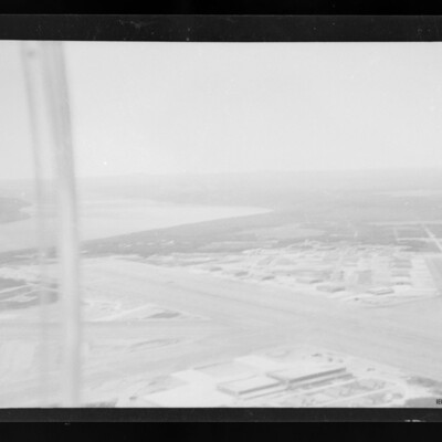
Air-to-ground view of Gander airfield looking south west . Main runway from mid left to bottom right. Hangars and other buildings below and above runway. Subsidiary runway on right River on left.
Tags: aerial photograph; runway
Los Angeles
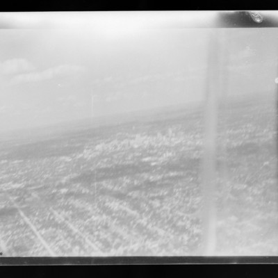
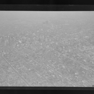
City with many buildings and grid road structure. Taller buildings towards the top and LA river running right to left across the top. The dog legged road is W 8th St in the Westlake South area of the city.
Tags: aerial photograph
Praia da Vitoria
Open countryside in foreground. Coast running mid left to right. Small town towards right side with sea beyond.
Tags: aerial photograph
Kelly Field
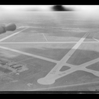
Air to ground view of Kelly Field taken from turret. Barrel of gun visible top left. Hangars on the ground bottom left with aircraft parked on their right.

