Browse Items (754 total)
- Tags: target photograph
Sort by:
Uzice
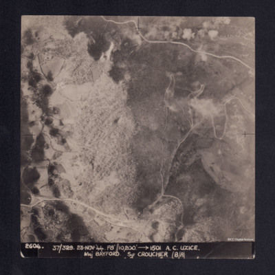
A vertical aerial photograph showing a hill, roads and some settlement in a valley. It is captioned '2604. 37/329 23.Nov.44 F8//10,200' --> 1501 A.C. UZICE. Maj BAYFORD Sgt CROUCHER (B/A)'
Le Havre
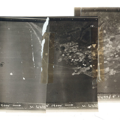
A mosaic of three target photographs of attack on Le Havre. Shows sea and cluster of bombs in the centre of left photograph and port area in the centre and right photograph. Caption '723, KLS, 14/6/44, 8", 1`9500, U. U625' Taken by Lancaster U of…
Le Havre
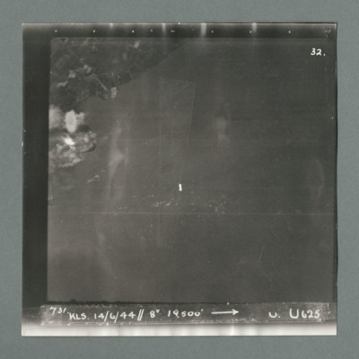
Target photograph showing land top left with bomb explosions on left edge just above centre. Caption '731, KLS, 14.6.44, 8", 19500, U, U625, Attack on Le Havre taken by Lancaster U of 625 squadron. Attack marked by Leonard Cheshire. On the reverse…
Gnome Rhone works Limoges
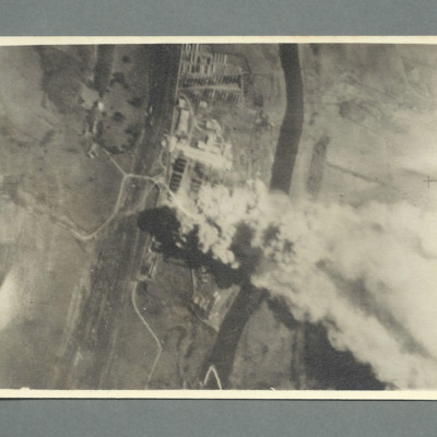
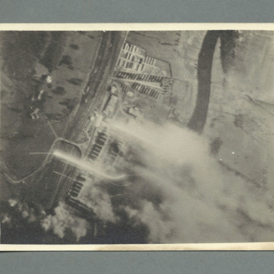
Enlarged target photograph showing an industrial area between a railway and river both running top to bottom. There are large plumes of smoke issuing from the buildings in the centre going to bottom right.
Gnome Rhone works Limoges
Enlargement of target photograph showing industrial unit with river to the right and railway to the left both running bottom to top. There are fires and smoke issuing from parts of buildings.
Gnome Rhone works Limoges
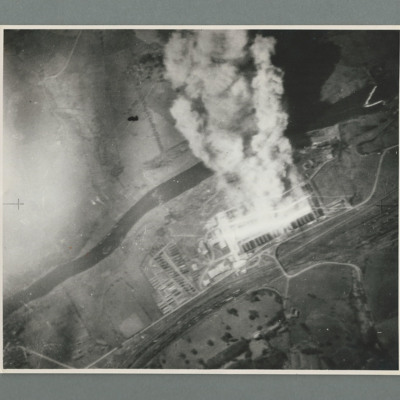
Target photograph showing a river running bottom left to top right. Below the river on the right site is an industrial area on fire with smoke going to top edge of image. On the reverse 'C4088'.
Mimoyecques
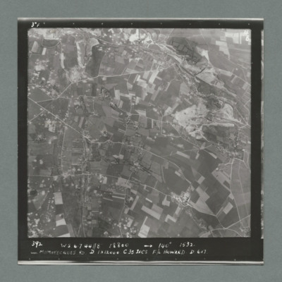
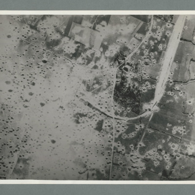
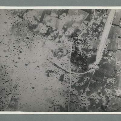
Target photograph showing open countryside with fields. Prominent roads run left to right. There are some craters scattered over the image. Caption '392, W.S., 6.7.44., 8", 18800, 140 degrees, 1532, Mimoyecques RD, D, 1 x 12000, C, 35 secs, F/L…
Mimoyecques
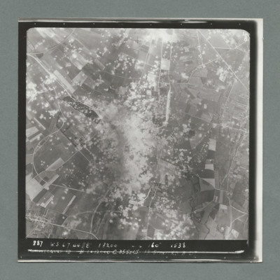
Target photograph showing open countryside with a large area with dense craters in the centre.Smoke can be seen in centre and top centre. Caption '387. W.S. 6.7.44, 8", 18200, 160 degrees, 1538, Mimoyecques RD, B, 1 x 12000, C, 35 secs, F/L Stanford.…
Mimoyecques
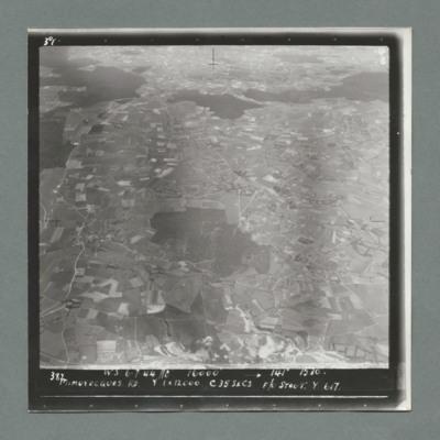
Target photograph showing open countryside with fields. There are forests in the centre and from left to right across the top. Caption '387, W.S., 6.7.44. 8", 16000, 141 degrees 1530, Mimoyecques RD, Y, 1 x 12000, C, 35 secs, F?L Stout, Y, 617'. On…
Mimoyecques
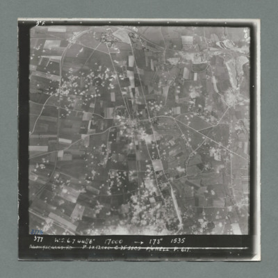
Target photograph showing open countryside with fields. Prominent road runs top centre to bottom and left centre to right. Craters are scattered over most of the image mostly left of centre line. Caption '377, W.S., 7.7.44, 17000, 178 degrees, 1535,…
Mimoyecques
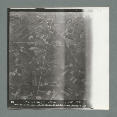
Target photograph showing open countryside with fields. Prominent roads run from top centre to bottom and left centre to right. Caption '376, W.S., 6.7.44, 8", 15800, 136 degrees, 1531, Mimoyecques RD, A, 1 x 12000, F/L Pryor, A, 617'. On the reverse…
Mimoyecques
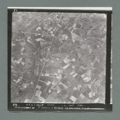
Target photograph showing open countryside with fields. There are prominent roads running bottom left to top centre and top right to left. Caption '372, W.S, 6.7.44, 8", 17000, 140 degree, 1530, Mimoyecques RD, T, 1 x 12000, C, 35 secs, F/L Willsher,…
Mimoyecques
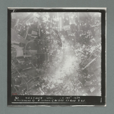
Target photograph showing open countryside with a large area on dense craters in the centre. Caption '367, W.S., 6.7.44, 8", 16800, 145 degrees, 1529, Mimoyecques RD, Z, 1 x 12000, C, 25 secs, F/O Ross, Z, 617'. On the reverse '51:97/7'.
Mimoyecques
Target photograph showing open countryside with fields and roads. There is a large area with craters bottom right extending towards the top.There are other scattered craters throughout the image. Caption '367, W.S.,6.7.44, 8", 130 degrees, 1531,…
Mimoyecques
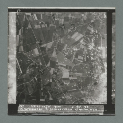
Target photograph showing open countryside with area covered in craters bottom right. There is an airfield on the left edge just below centre. Caption '367, W.S., 6.7.44, 8", 19000, 130 degrees, 1531, Mimoyecques RD, K1, 1 x 12000, C, 235 secs, F/L…
Mimoyecques
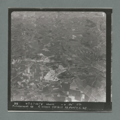
Target photograph showing open countryside with fields and roads. Village on the right side edge just below centre. Caption '358, W.S., 6.7.44, 8", 16400, 134 degrees, 1530, Mimoyecques RD, C, 1 x 12000, C35 secsa, F?O Duffy, C, 617' On the reverse…
Mimoyecques
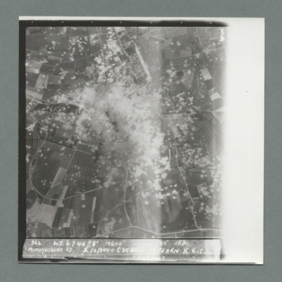
Target photograph showing open countryside with heavily cratered area in the centre. Caption '362, WS, 6.7.44, 8", 15600, [....], 1534, Mimoyecques RD, X, 1 x 12000, C, 35 secs, [..]earn, X, 617'. On the reverse '5:99/5, Photo 282'.
Mimoyecques
Reconnaissance photograph showing open countryside with fields. A railway runs from top right downwards then loops to the left, culminating in the centre, The left side is covered in multiple craters. Craters on the right side are less concentrated.…
St Leu D'Esserent
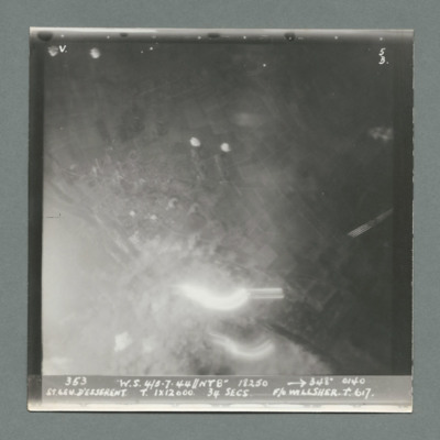
Target photograph showing large bright spot bottom centre. Caption '363, W.S. 4/5.7.44, NT 8", 18250, 348 degrees, 0140, St Leu D'Esserent, T, 1 x 12000, 34 secs, F/O Willsher, T., 617'. On the reverse '51:98/16, APoint'.
St Leu D'Esserent
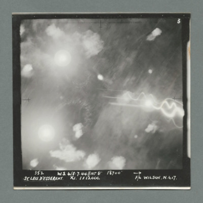
Target photograph showing many bright spots all over. Caption '352, W.S. 4/5.7.44, NT 8", 18700, St Leu D'Esserent, K1, 1 x 12000, F/L Wilson, N., 617'. On the reverse '51:98/15'.
St Leu D'Esserent
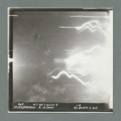
Target photograph showing open countryside on the left with tracer lines and bright spot to the right. Caption '348, W.S., 4/5.7.44, NT 8", St Leu D'Esserent, C, 1 x 12000, F/O Duffy, C., 617'. On the reverse '51:98/14'. A Lancaster at a lower…
St Leu D'Esserent
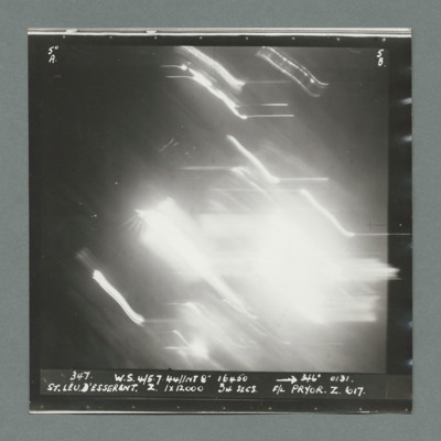
Target photograph showing bright area in the centre. Caption '347, W.S., 4/5.7.44, NT 8". 16450, 246 degrees 0131' St Leu D'Esserent, Z, 1 x 12000, 34 secs, F/L Pryor, Z., 617'. On the reverse '51:98/13'.
St Leu D'Esserent
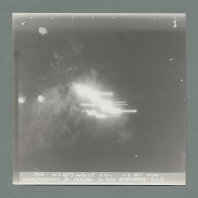
Target photograph showing bright spot in the middle. Caption '346, W.S., 4/5.7.44, NT 8", 18500, 360 degrees, 0143, St Leu D'Esserent, D1, 1 x 12000, 34 secs, S/L McCarthy, Q., 617'. On the reverse '51:98/12'.
St Leu D'Esserent
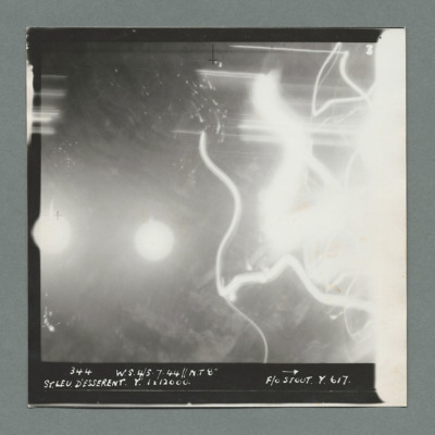
Target photograph showing bright spot left centre on edge and another to its right. Tracer lines on the right side. Caption '344, W.S., 4/5 .7.44, NT 8", St Leu D'Esserent, Y., 1 x 12000, F/O Stout, Y, 617'. On the reverse '51:98/11'.'
St Leu D'Esserent
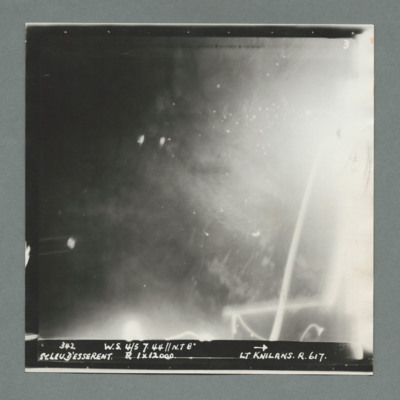
Target photograph showing bright areas bottom left and top right with tracer lines bottom left. Caption '342, W.S. 4/5 7.44, NT 8", St Leu D'Esserent, R, 1 x 120'51:98/10'.00, F/Lt Knilans, R., 617'. On the reverse

