Browse Items (754 total)
- Tags: target photograph
Sort by:
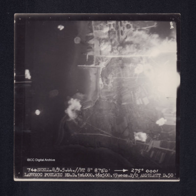
Lanveoc Poulmic
Target photograph of Lanveoc Poulmic. Coastline with piers and quays clearly visible. Partially obscured by light, but bomb explosions on land and water are visible. Captioned '8B', '740 SKELL.8/9.5.44.//NT 8" 8750' [arrow] 275° 0001 LANVEOC POULMIC…
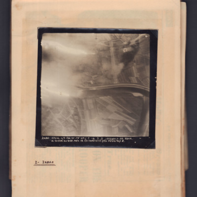
Latisana railroad bridge
Target photograph showing river running left to right in centre with flare on left side. Captioned '6' and '2480, 104/46, 4/5 Jan 45, F8, NT, ?,→ ??, Latisana RR Bdge, H, 9x500:6x250 Mk IV, 18, F/O Chadwick (F/O Myers B.A.) Z'. Annotated on page…
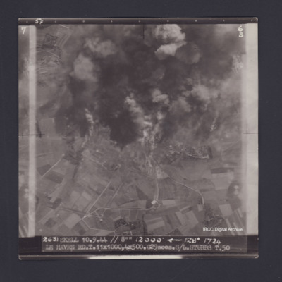
Le Havre
Target photograph of Le Havre. Partially obscured by smoke and dust, rural area,roads clearly visible. Captioned '5°F', '6B', '2631 SKELL 10.9.44 // 8"" 12000' [arrow] 128° 1724 LE HAVRE RD T.11X1000,4X500.C29secs.S/L STUBBS T.50'. On the reverse…
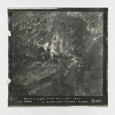
Le Havre
A vertical aerial photograph taken during an operation at Le Havre, centered on the Aplemont district, near the Forêt de Montgeon. The central area has explosions and smoke and many bomb craters are visible.
It is captioned 'KLS 10.0.44//8"…
It is captioned 'KLS 10.0.44//8"…
Tags: 625 Squadron; bombing; RAF Kelstern; target photograph
Le Havre
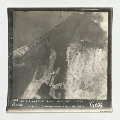
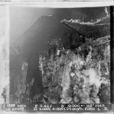
Target photograph of Le Havre taken during an operation. The right side is obscured by smoke. The left and top are clear and show the harbour, docks and breakwater. One vessel can be seen at an angle within the dock, bottom centre, but otherwise no…
Le Havre
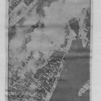
Article includes target photograph of dock area with smoke and explanatory text - Round the area of the Bassin du Commerce at Le Havre, explains level of damage assessed.
Le Havre
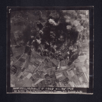
Target photograph of Le Havre. Rural area, centre of photograph obscured by smoke and dust, craters and one dropping bomb visible. Captioned '5° F', '5B', '2625 SKELL. 10.9.44. // 8" 11000' [arrow] 130° 1723, LE HAVRE RD. D. 11x1000. 4x500. …
Le Havre
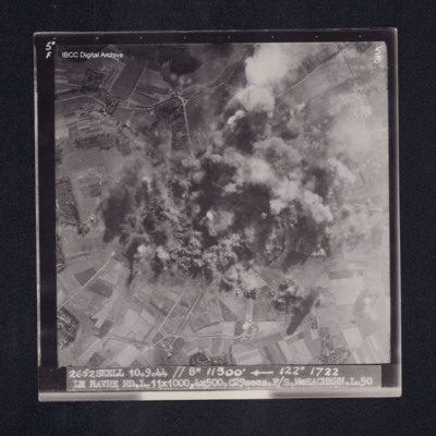
Target photograph of Le Havre. Rural area, centre of photograph obscured by smoke and dust, craters visible. Captioned '5°F', '5B', '2652 SKELL 10.9.44 // 8" 11500' [arrow] 122° 1722 LE HAVRE RD. L. 11X1000. 4X500. C29secs. F/S McEACHEARN. L.…
Le Havre
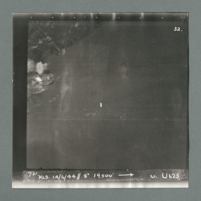
Target photograph showing land top left with bomb explosions on left edge just above centre. Caption '731, KLS, 14.6.44, 8", 19500, U, U625, Attack on Le Havre taken by Lancaster U of 625 squadron. Attack marked by Leonard Cheshire. On the reverse…
Le Havre
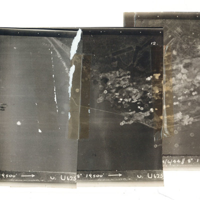
A mosaic of three target photographs of attack on Le Havre. Shows sea and cluster of bombs in the centre of left photograph and port area in the centre and right photograph. Caption '723, KLS, 14/6/44, 8", 1`9500, U. U625' Taken by Lancaster U of…
Le Havre
A vertical aerial photograph of Le Havre during bombing operations. The land is mainly obscured by explosions but breakwaters and docks are visible. Digue Augustin Normand is shown at the top of the image, with Bassin de la Manche and Le Havre port…
Le Havre
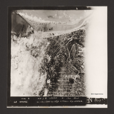
Vertical aerial photograph of Le Havre. The left side of the image (the port area) is obscured by bomb explosions. Several ships are aground on the beach. Captioned 'BIN 5-8-44 //8 12000' [arrow] 150 1841 Le Havre Li 13x1000 4x500 c5secs F/O Lester N…
Le Havre
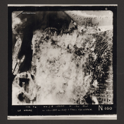
Vertical aerial photograph of Le Havre. Much of the centre of the photograph is obscured by explosions and smoke.
Captioned 'Captioned 'BIN 5-8-44 //8 12000' [arrow] 150 1841 Le Havre Li 13x1000 4x500 c5secs F/O Lester N 460'.
Captioned 'Captioned 'BIN 5-8-44 //8 12000' [arrow] 150 1841 Le Havre Li 13x1000 4x500 c5secs F/O Lester N 460'.
Le Havre
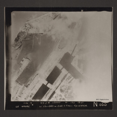
Vertical aerial photograph of the dock area at Le Havre. The right side of the image is obscured by cloud or smoke. Captioned 'BIN 5-8-44 //8 12000' [arrow] 150 1841 Le Havre Li 13x1000 4x500 c5secs F/O Lester N 460'.
Le Havre
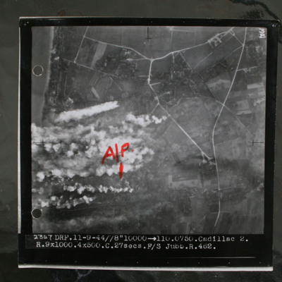
Target photograph showing coastline to top left and rural area behind with several villages and connecting roads. Annotated with "A/P" aiming point in red ink. Obscured by target markers and smoke. Captioned '3B 2347 DRF.11-9.44//8" 10000 >110.0750.…
Le Havre
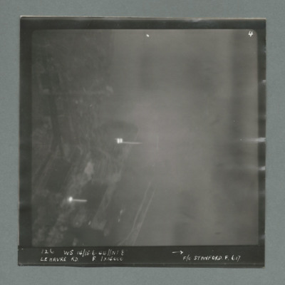
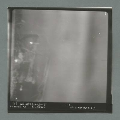
Target photograph showing harbour area on the left side with two bright marks centre and bottom left. Caption '126, WS 14/15.6.44, NT 8, Le Havre RD, F, 1 x 14000, F/O Stanford, F, 617'. On the reverse '1700, from Pens'.
Le Havre
Target photograph showing harbour area on the left with bright spots top left quadrant and centre left. Caption '128, WS 14/15.6.44, NT 82, Le Havre RD, F, 1 x 14000, F/O Stanford, F, 617'. On the reverse '51:93/9'.
Le Havre
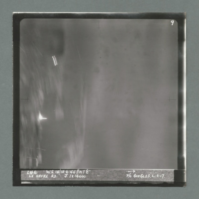
Target photograph showing harbour area on the left with bright spots top left quadrant and just below centre left. Caption '146, WS 14/15.6.44, NT8", Le Havre RD, J, 1 x 14000, P/O Gingles, L, 617'. On the reverse 53:93/10'.
Le Havre
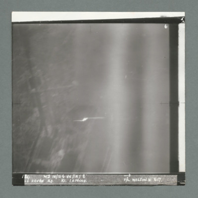
Target photograph showing built up area on the left and harbour area on the right. Bright spot centre one third way up. Caption '130, WS 14/15.6.44, NT 82, Le Havre RD, K1, 1 x 14000, F/L Wilson N, 617'. On the reverse 53:93/11'.
Le Havre
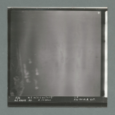
Target photograph showing coastline on the left. Caption '138, W.S 14/15.6.44, Le Havre RD, S, 1 x 14000, F/Lt Reid, S, 617'. On the reverse '53:93/12 Photo 159'.
Le Havre
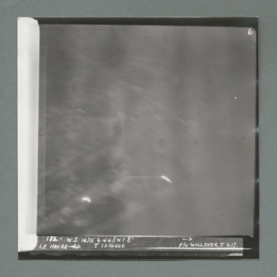
Target photograph showing bright spots bottom left and bottom centre. Caption '172, W.s. 14/15.6.44, NT 8", Le Havre, T, 1 x 14000, F/O Willsher, T, 617'. On the reverse '51:93/13'
Le Havre
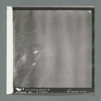
Target photograph showing two bright spots on left side. Caption '148, ,W.S. 14/15.6.44, NT 8", Le Havre RD, V, 1 x 14000, F/O Cheney, V, 617'. On the reverse '51/93/14'.
Le Havre
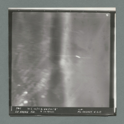
Target photograph showing bright spots bottom left and just right of centre. Caption '141, WS 14/15.6.44, NT 8", Le Havre RD, V, 1 x 14000, F/O Cheney, V, 617'. On the reverse '51:93/15'.
Le Havre
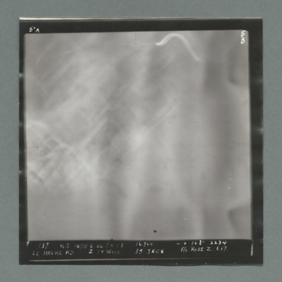
Target photograph blurred with built up area on left. Caption '137, WS 14/15.6.44, NT 8, 16700, 108 degree, 2234, Le Havre RD, Z, 1 x 14000, 15 secs, F/O Ross, Z, 617', On the reverse '500 yards 190 degrees'.
Le Havre
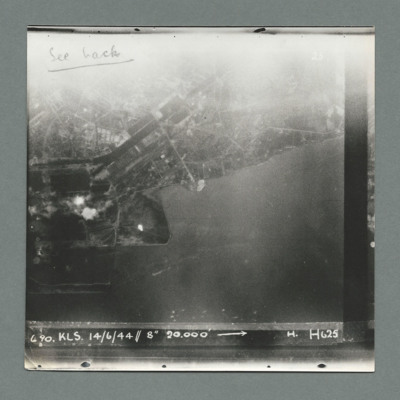
Target photograph showing land at the top and sea at the bottom with town and harbour centre. There are two bomb explosions visible left centre and a bright spot below them to the right.. Caption '6 90, KLS, 14/6/44, 8" 20000, H, H625'. On the…

