Browse Items (1442 total)
- Tags: aerial photograph
Sort by:
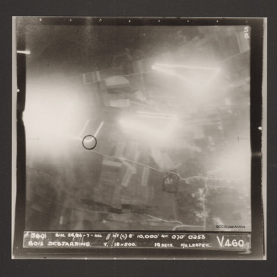
Bois Desjardins
A vertical aerial photograph identified as Bois Desjardins. Much of the image is obscured by bright lights. Captioned '5691 BIN. 25/26-7-44 //NT(C) 8" 10.000' [arrow] 070° 0253 Bois Desjardins Y. 18x500. 19 secs. P/O. Lester. V 460'.
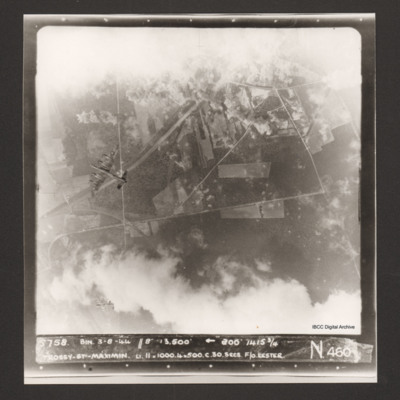
Trossy St Maximin
Vertical aerial photograph over Trossy St Maximin. The top and bottom sections are largely obscured by cloud and bomb explosions. Two Lancasters are visible, one directly below and one diving away in the bottom left corner of the…
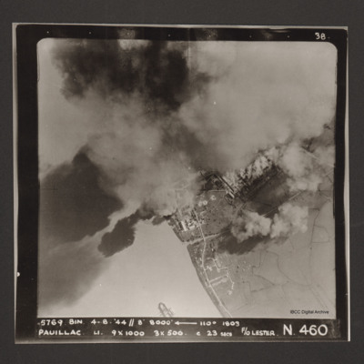
Pauillac
A vertical aerial photographs of Pauillac. Cloud and smoke obscures about half of the image. There is a small ship floating on the river. Captioned '5769 BIN 4-8-44 //8 8000' [arrow] 110° 1803 Paulliac. Li. 9x1000 3x500 c 23 secs F/O Lester. N 460'.
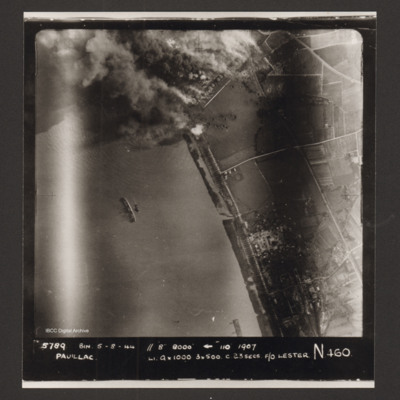
Pauillac
A vertical aerial photograph of Pauillac. At the top an industrial area is on fire with much smoke and bomb craters visible. In the river a ship is lying on its side. Captioned '5789 BIN 5-8-44 //8 8000' [arrow] 110° 1907 Paulliac Li 9x1000 3x500 c…
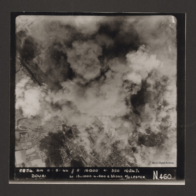
Douai
Vertical aerial photograph of Douai. In the lower half the centre of the town is visible but above that cloud and explosions obscure much of the rest. Captioned '5854 BIN 11-8-44 //8 16000' [arrow] 350° 1624 1/2 Douai Li…
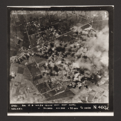
Volkel
Vertical aerial photograph of the bombing of Volkel airfield. The right hand side, centre of the image is obscured by bomb explosions and smoke. Captioned '5921. BIN 15-8-44 //8 16000' [arrow] 097° 1203 1/2 Volkel Li 13x1000 4x500 c 32 secs F/O…
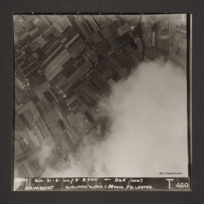
Raimbert
Vertical aerial photograph of Raimbert V-2 storage site. The bottom right of the image is obscured by cloud.
Captioned '6051 Bin. 31-8-44//8" 8,800'
Captioned '6051 Bin. 31-8-44//8" 8,800'
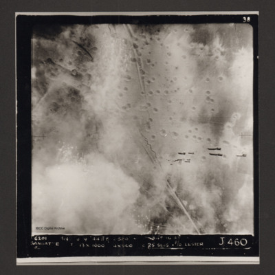
Sangatte
Vertical aerial photograph of Sangatte. A road and trenches run from top to bottom and there are many bomb craters. A stick of bombs can be seen falling from the aircraft. Captioned '6201 BIN [undecipherable] 9-44 //8 /500'
Calais
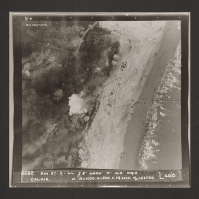
Vertical aerial photograph of Calais. Craters and bomb explosions are visible but no detail apart from a road junction and the coastline. 'Captioned '6262 BIN 27-9-44 //8 4000' [arrow] 142° 0912 Calais w. 13x1000. 4x500 c.19 secs. F/O Lester N 460'.
Le Havre
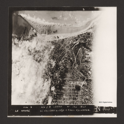
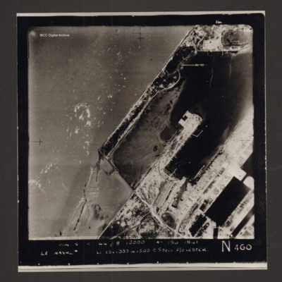
Vertical aerial photograph of Le Havre. The left side of the image (the port area) is obscured by bomb explosions. Several ships are aground on the beach. Captioned 'BIN 5-8-44 //8 12000' [arrow] 150 1841 Le Havre Li 13x1000 4x500 c5secs F/O Lester N…
Le Havre
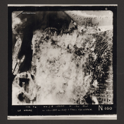
Vertical aerial photograph of Le Havre. Much of the centre of the photograph is obscured by explosions and smoke.
Captioned 'Captioned 'BIN 5-8-44 //8 12000' [arrow] 150 1841 Le Havre Li 13x1000 4x500 c5secs F/O Lester N 460'.
Captioned 'Captioned 'BIN 5-8-44 //8 12000' [arrow] 150 1841 Le Havre Li 13x1000 4x500 c5secs F/O Lester N 460'.
Le Havre
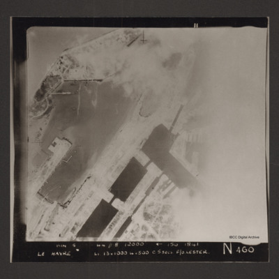
Vertical aerial photograph of the dock area at Le Havre. The right side of the image is obscured by cloud or smoke. Captioned 'BIN 5-8-44 //8 12000' [arrow] 150 1841 Le Havre Li 13x1000 4x500 c5secs F/O Lester N 460'.
Le Havre docks
Vertical aerial photograph of Le Havre showing end of breakwater around dock area. Numerous bomb craters visible throughout together with damaged or destroyed dockside buildings. Warship in dock lower right. Rectangular structure to top left of…
Emmerich
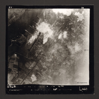
Vertical aerial photograph of Emmerich. The Rhine is at the top left. Some smoke and explosions are visible next to the Rhine River.
Captioned '6348 [undecipherable] 1000 [undecipherable] Emmerich [undecipherable] L460'.
Captioned '6348 [undecipherable] 1000 [undecipherable] Emmerich [undecipherable] L460'.
Le Havre
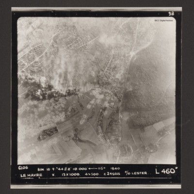
Vertical aerial photograph of Le Havre. There are large numbers of bomb craters and smoke and explosions. Captioned '6106 BIN 10-9-44 //8 10000' [arrow] 115° 1840 Le Havre X 13x1000 4x500 c 24 secs F/O Lester L 460'.
Bologna
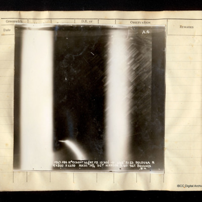
Vertical aerial photograph of Bologna. Field patterns are visible but the centre and lower portions of the image are obscured by bright lights, flares or anti-aircraft fire. Captioned 'A4 1943. FOG.12/13 Sept 44//NT F8 10300' [arrow] 265° 21.23…
Tatoi aerodrome
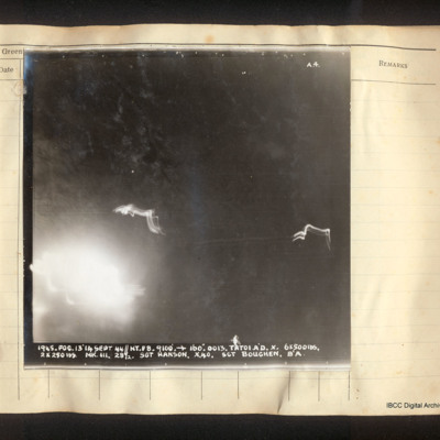
Vertical aerial photograph of Tatoi aerodrome. No detail is visible. The image is dark with explosions in the bottom left corner and ant-aircraft tracer. Captioned 'A4 1945. FOG.13/14 Sept 44//NT. F8. 9100' [arrow] 160°. 0013. Tatoi A/D. 6x500lbs,…
Szekesfehervar
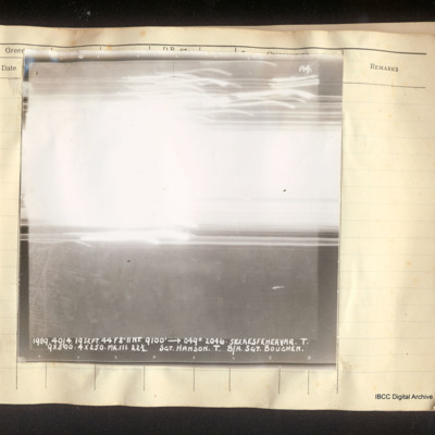
Vertical aerial photograph of Szekesfehervar. In the lower half some street detail is visible but all of the top half is obscured by bright light and tracers. Captioned 'A4 1989 40/4. 19 Sept 44 F8"//NT. 9100' [arrow] 049°. 2046. Szekesfehervar.T.…
Brescia
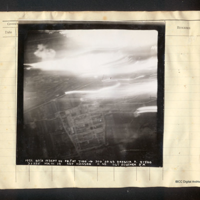
Vertical aerial photograph of Brescia. In the lower half the Breda works and the railway line are visible; the top half is obscured by tracers, explosions and bright lights. Captioned '1972 40/2 17 Sept 44 F8//NT 7100' [arrow] 300° 2046 Brescia R.…
Bronzolo
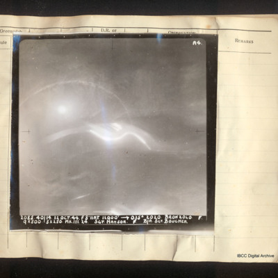
Vertical aerial photograph of the Adige river south of Bronzolo. The Lusina stream is barely discernible. Captioned ''A4 2085. 40/14 12 Oct 44. F8//NT 11000' [arrow] 035° 2020. Bronzolo F 9x500 5x250 Mk III 24 Sgt. Hanson. F. B/A Sgt. Bouchen'.
Borovnica railway viaduct
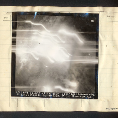
Vertical aerial photograph of the Borovnica railway viaduct. Some fields are visible but the majority of the image is obscured by bright lights, tracer and smoke. Captioned 'A4 2042.40/8 26 Sept. 44.F8".//.NT. 7600' [arrow] 039° 2042 Borovnica Viad.…
Novi Pazar roads
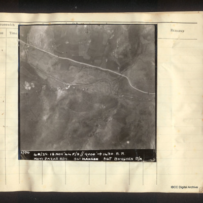
Vertical aerial photograph of a road and a river, some small explosions in the centre. Captioned '2356 40/29. 18.Nov'44 F/8//9000' [arrow] 1430. R.R. Novi Pazar Rds Sgt Hanson Sgt Boughen B/A'.
Podgorica
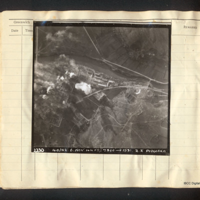
Vertical aerial photograph of Podgorica. The image is very clear apart from explosions and fires on the left side, a mainly industrial area. A river flows left to right with a road bridge and several roads. Captioned '22.30 40/22. 6. Nov '44…
Szombathely
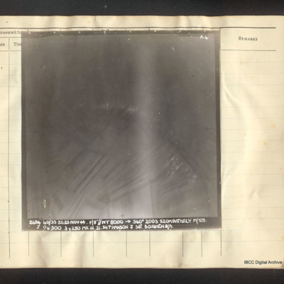
Vertical aerial photograph of Szombathely. Field pattern and some buildings are visible as well as a river. It is captioned 'A4 2484 40/33 22-23 Nov 44. F/8"//NT 8000 --> 360° 2003 Szombathely M/YOS. J 9x500 3x250 Mk III Sgt Hanson J Sgt. Boughen…
Podgorica
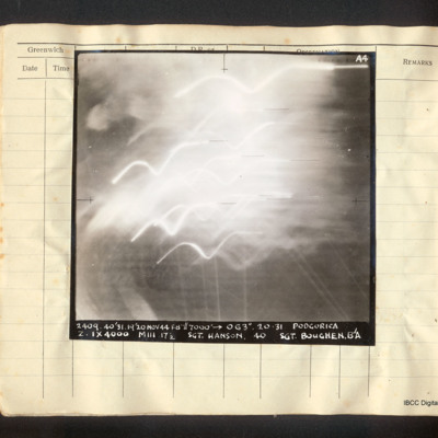
Vertical aerial photograph of Podgorica, obscured by explosions and tracer. It is captioned 'A4 2409 40/31 19/20 Nov 44 F8"//7000' [arrow] 063°. 20.31 Podgorica Z. 1x4000 MIII 17 1/2 Sgt. Hanson 40 Sgt Boughen. B/A'

