Browse Items (49 total)
- Conforms To is exactly "Geolocation impractical"
Sort by:
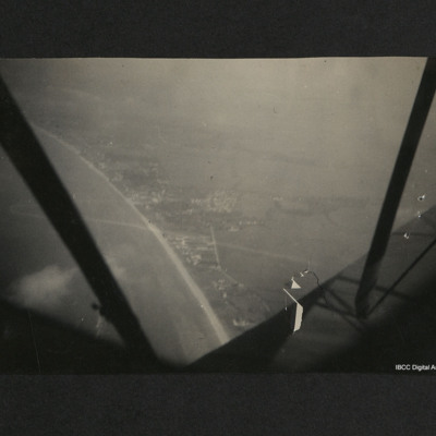
French coast
Aerial view of a coastline, beach and town with fields beyond. The aircraft struts, propeller and part of the fuselage can be seen from the aircraft. On the reverse, 'French coast at Caen during summer 1940'.
Tags: aerial photograph
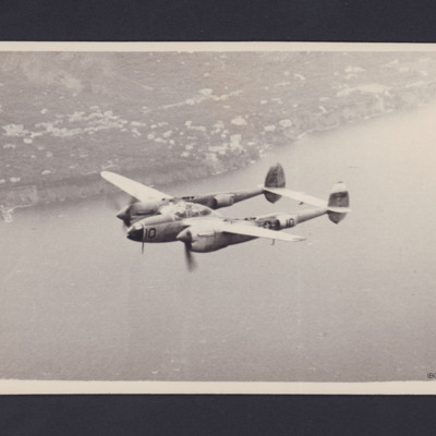
Air to air P-38 Lightning
An air to air view of the port side of a P-38 Lightning.
On the reverse is handwritten 'P.38 (Lightning) USAAF. Taken just off the coast of Sicily'.
On the reverse is handwritten 'P.38 (Lightning) USAAF. Taken just off the coast of Sicily'.
Tags: P-38
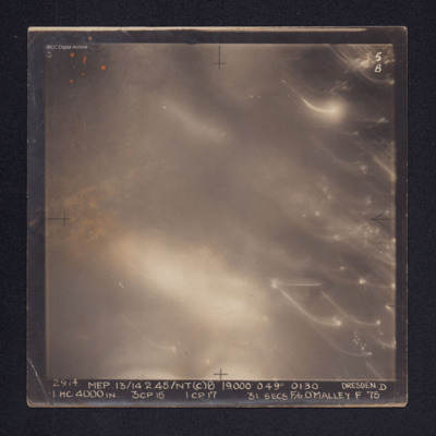
Dresden
Target photograph of Dresden. No ground details are visible but the glare from fires on the ground are visible through the smoke. There are some bright spots and trails of light on the right. It is annotated "5B" and captioned: "2914. MEP.…
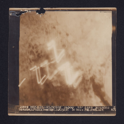
Duisberg
A target photograph of Duisburg. Cloud or smoke obscures the ground and there are several light trails in the centre of the photograph.
It is annotated "5B" and captioned: "2809 MEP. 22/23.1.45//NT(C)8" 19,000' 112º 2009 DUISBERG [sic]. Z…
It is annotated "5B" and captioned: "2809 MEP. 22/23.1.45//NT(C)8" 19,000' 112º 2009 DUISBERG [sic]. Z…
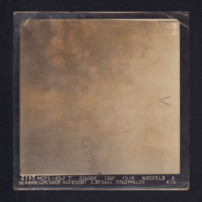
Krefeld
Target photograph of Krefeld. Cloud, smoke and glare obscures all ground detail.
It is annotated: "3B" and captioned: "2735 MEP. 11.1.45//7" 20,000' 130º 1514 KREFELD A 1HC4000IN, 12MC500DT, 4GP250DT. C.37SECS F/S O'MALLEY K.75.".
Also a…
It is annotated: "3B" and captioned: "2735 MEP. 11.1.45//7" 20,000' 130º 1514 KREFELD A 1HC4000IN, 12MC500DT, 4GP250DT. C.37SECS F/S O'MALLEY K.75.".
Also a…
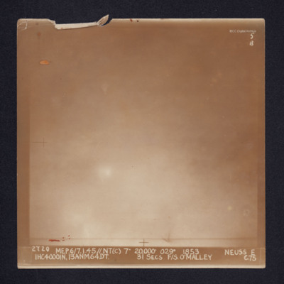
Neuss
Target photograph of Neuss. Glare and cloud obscures all ground detail. It is annotated "5B" and captioned: "2720 MEP.6/7.1.45//NT(C) 7" 20,000' 029º 1853. NEUSS E 1HC4000IN, 13ANM64DT. 31 SECS. F/S. O'MALLEY C.75".
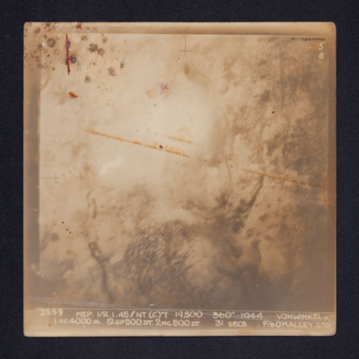
Vohwinkel
Target photograph of Vohwinkel. Smoke and glare obscures most of the ground and only the vague outlines of some ground features are visible.
It is annotated: "5B" and captioned: "2659 MEP 1/2.1.45//NT(C)7' 19,500. 360º 1944 VOHWINKEL K 1HC4000IN.…
It is annotated: "5B" and captioned: "2659 MEP 1/2.1.45//NT(C)7' 19,500. 360º 1944 VOHWINKEL K 1HC4000IN.…
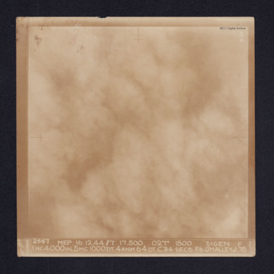
Sigen
Target photograph of Siegen. Cloud or smoke obscures all ground detail. It is annotated "3B" and captioned: "2547 MEP. 16.12.44//7" 17,500. 027º 1500 SIGEN [sic]. F 1HC4000IN. 5MC1000DT. 4ANM64DT. C34 SECS. F/S O'MALLEY. J.75
Oberhausen
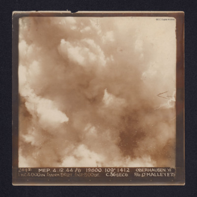
A target photograph of Oberhausen. Cloud or smoke obscures the ground. There are some small smoke trails at centre left.
It is annotated "5B" and captioned: "2445. MEP. 4.12.44 //8 19,600. 109º 1412 OBERHAUSEN,YI 1 HC4000IN. 6ANM 50DT. 6GP500DT.…
It is annotated "5B" and captioned: "2445. MEP. 4.12.44 //8 19,600. 109º 1412 OBERHAUSEN,YI 1 HC4000IN. 6ANM 50DT. 6GP500DT.…
Cahagnes
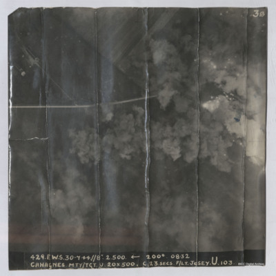
Target photograph shows explosions with dust and smoke clouds. Some target indicator flares are to right. Rural area with some buildings visible in top left with track crossing left to right. Captioned '429.E.W.S. 30.7.44//8" 2.500 200(Degrees) 08.32…
Aiming point certificate, aircrew and Manchester
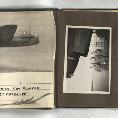
First, a sketch of a Lancaster in flight, captioned 'Wismar, 12/13.X.42 F/Sgt Turner, F/Sgt Anderson, Sgt Davies, Sgt Hunter, Sgt Coombes, Sgt Cass, Sgt Osterloh. 61 Squadron.' Signed 'A Pollen P/O 1942.' Second, four men in uniform and side caps…
Tags: 61 Squadron; aerial photograph; aircrew; bombing; Lancaster; Manchester
Rositz
A vertical aerial photograph taken during an operation at Rositz. No detail is visible on the ground.
It is captioned '4438 Skell. 14/15.2.45//NT/ (C). 8" 8500' 354° 2108 Rositz. T. 1HC4000IN.4MC500DT.4ANM64DT.6MC500LD. 21 secs. F/L.…
It is captioned '4438 Skell. 14/15.2.45//NT/ (C). 8" 8500' 354° 2108 Rositz. T. 1HC4000IN.4MC500DT.4ANM64DT.6MC500LD. 21 secs. F/L.…
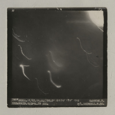
Harburg
A vertical aerial photograph of an operation at Harburg. Very little detail is visible on the ground but there are several light flashes.
It is captioned '3528 Skell. 11/12.11.44//NT.8" 18250' 130° 1918 Harburg. T. 1HC4000IN.14CP14. 29 sec. F/L…
It is captioned '3528 Skell. 11/12.11.44//NT.8" 18250' 130° 1918 Harburg. T. 1HC4000IN.14CP14. 29 sec. F/L…
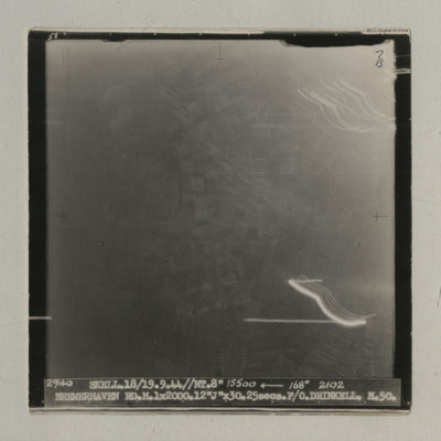
Bremerhaven
A vertical aerial photograph taken during an operation at Bremerhaven. Indistinct ground images can be seen. It is captioned '2940 Skell. 18/19.9.44//NT. 8" 15500 <-- 168° 2102 Bremerhaven RD.H.1x2000.12 "J" x30.25 secs. F/O Drinkell. H.50'. On…
Houffalize
A vertical aerial photograph taken during an operation at Houffalize. No detail is visible on the image due to light and explosions.
It is captioned '4079 Skell 30/31.12.44 // NT (C) 8" 10500' 005° 0503 Houffalize. T. 11ANM 65DT. 4GP 00. 21 secs.…
It is captioned '4079 Skell 30/31.12.44 // NT (C) 8" 10500' 005° 0503 Houffalize. T. 11ANM 65DT. 4GP 00. 21 secs.…
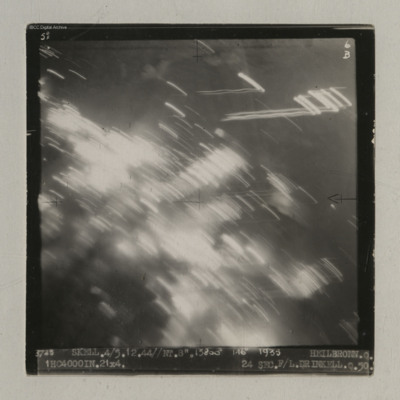
Heilbronn
A vertical aerial photograph of Heilbronn taken during an operation. A canal is visible in the centre running op to bottom but most of the image is obscured by light flashes.
It is captioned '3725 Skell. 4/5.12.44//NT. 8". 13800' 146° 1935…
It is captioned '3725 Skell. 4/5.12.44//NT. 8". 13800' 146° 1935…
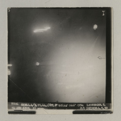
Ladbergen
A vertical aerial photograph of an operation at Ladbergen. Most of the image is obscured by light but the canal is visible.
It is captioned '3506 Skell. 4/5.11.44//NT 8" 11500' 066° 1930 Ladnergen [sic] T. 14 ANM 65DN. 22 secs F/O Drinkell. T. 50'.
It is captioned '3506 Skell. 4/5.11.44//NT 8" 11500' 066° 1930 Ladnergen [sic] T. 14 ANM 65DN. 22 secs F/O Drinkell. T. 50'.
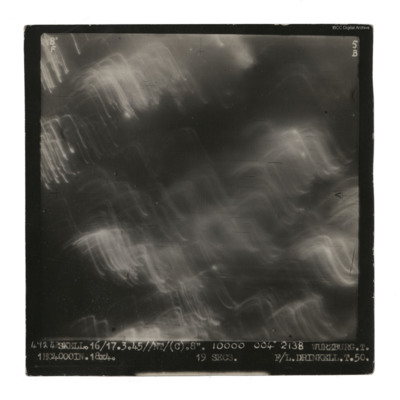
Wurzburg
A vertical aerial photograph taken during an operation at Wurzburg. No detail visible on the ground.
It is captioned '4724 Skell. 16/17.3.45//NT/(C). 8". 10000 004° 2138 Wurzburg. T. 1HC4000IN.18x4. 19 secs F/L Drinkell.T.50'.
On the reverse 'F/Lt…
It is captioned '4724 Skell. 16/17.3.45//NT/(C). 8". 10000 004° 2138 Wurzburg. T. 1HC4000IN.18x4. 19 secs F/L Drinkell.T.50'.
On the reverse 'F/Lt…
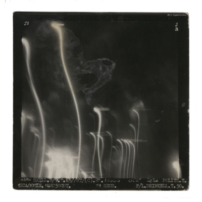
Politz
A vertical aerial photograph taken during an operation at Politz. Streaks of light and damage obscure ground detail. It is captioned '4380 Skell. 8/9 2.45//NT/(C) 8" 10000 052° 2122 Politz. T. 1HC 4000IN. 14MC 500DT. 21 secs F/L Drinkell.T.50.' On…
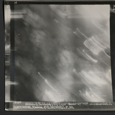
Dusseldorf
A vertical aerial photograph taken during an operation at Dusseldorf. No ground detail is visible.
It is captioned '3485 Skell 2/3.11.44//NT/(C) 8" 18000' 127° 1927 Dusseldorf. T. 14MC1000DN.30 secs. F/O Drinkell. T. 50.'
On the reverse is…
It is captioned '3485 Skell 2/3.11.44//NT/(C) 8" 18000' 127° 1927 Dusseldorf. T. 14MC1000DN.30 secs. F/O Drinkell. T. 50.'
On the reverse is…
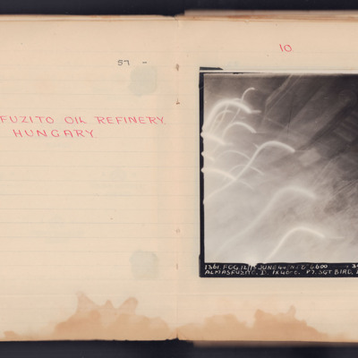
Almasfuzito Oil Refinery Hungary
A target photograph taken during an operation to Almasfuzito. The left and bottom of the image are obscured by light trails and glare. To the right and upper areas the refinery and roads can be seen. It is annotated 'A4' and captioned:
'1361. FOG.…
'1361. FOG.…
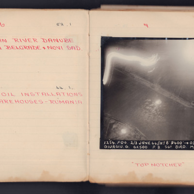
Mining in River Danube Between Belgrade & Novi Sad
A vertical aerial photograph taken during an operation. The top left of the image is obscured by light flashes but the river and both banks are clear. Under the photograph is written "Top Notcher".
It is captioned '1254. Fog. 2/3 June 44 // NT 8"…
It is captioned '1254. Fog. 2/3 June 44 // NT 8"…
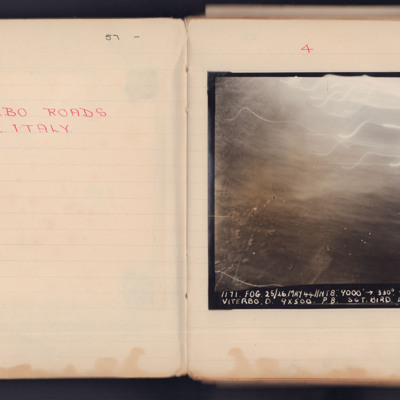
Viterbo Roads
A vertical aerial photograph taken during an operation. Most of the top of the image is obscured by light flashes.
It is captioned '1171 Fog 25/26 May 44 // NT 8" 9000' -> 330° 00.33 Viterbo. D.9x500 P8. Sgt Bird L 104'.
It is captioned '1171 Fog 25/26 May 44 // NT 8" 9000' -> 330° 00.33 Viterbo. D.9x500 P8. Sgt Bird L 104'.
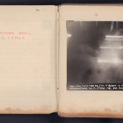
Valmontone Road
A vertical aerial photograph taken during an operation. No detail is visible of the ground, the image is obscured by explosions and light flashes.
It is captioned '1165. Fog.22/23 May 44 // NT 8" 8200 -> 120° 23.26 Valmontone. Rd. D 5 x 500 PO Sgt…
It is captioned '1165. Fog.22/23 May 44 // NT 8" 8200 -> 120° 23.26 Valmontone. Rd. D 5 x 500 PO Sgt…
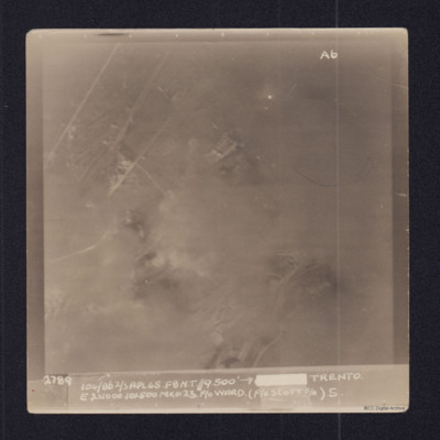
Trento
Vertical aerial target photograph of Trento. The image shows open countryside but most ground details are obscurred by cloud or smoke. Some roads and buildings are visible.
The photograph is captioned:
2789 104/86 2/3 APR 45. F8 N.T.//9.500'…
The photograph is captioned:
2789 104/86 2/3 APR 45. F8 N.T.//9.500'…

