Browse Items (674 total)
- Type starts with "Map"
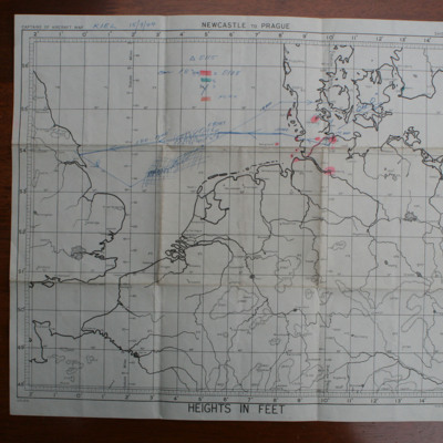
Route map Kiel
This item was sent to the IBCC Digital Archive already in digital form. No better quality copies are available.
Tags: bombing
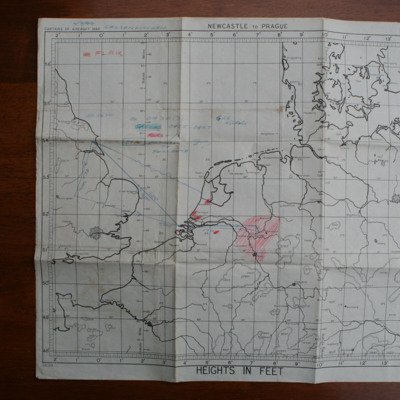
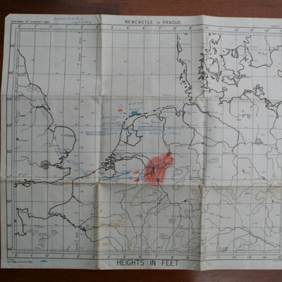
Route map Gelsenkirchen
This item was sent to the IBCC Digital Archive already in digital form. No better quality copies are available.
Tags: anti-aircraft fire; bombing
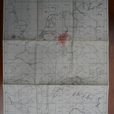
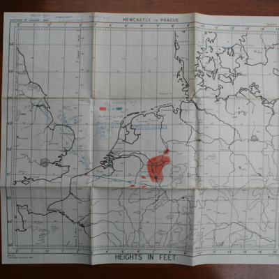
Route map Gelsenkirchen
This item was sent to the IBCC Digital Archive already in digital form. No better quality copies are available.
Tags: bombing
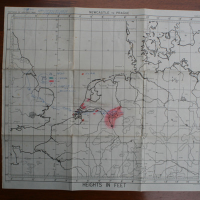
Route map Gelsenkirchen
This item was sent to the IBCC Digital Archive already in digital form. No better quality copies are…
Tags: bombing
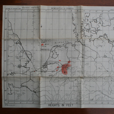
Route map Essen
This item was sent to the IBCC Digital Archive already in digital form. No better quality copies are available.
Tags: anti-aircraft fire; bombing
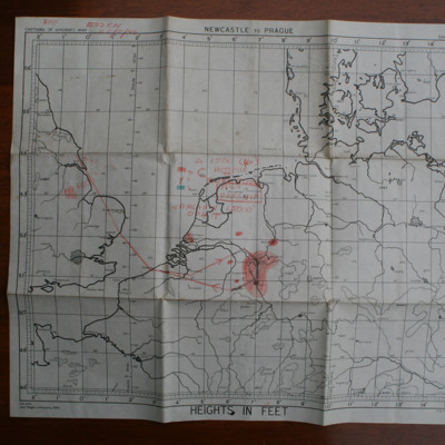
Route map Essen
This item was sent to the IBCC Digital Archive already in digital form. No better quality copies are available.
Tags: bombing
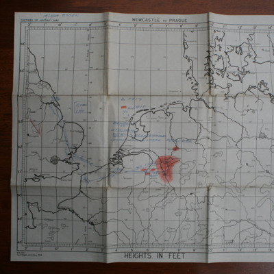
Route map Essen
This item was sent to the IBCC Digital Archive already in digital form. No better quality copies are available.
Tags: anti-aircraft fire; bombing
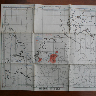
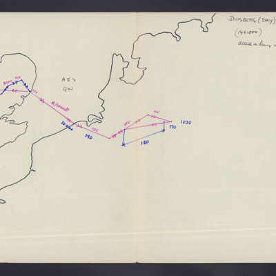
Route map Duisburg
This item was sent to the IBCC Digital Archive already in digital form. No better quality copies are available.
Tags: bombing
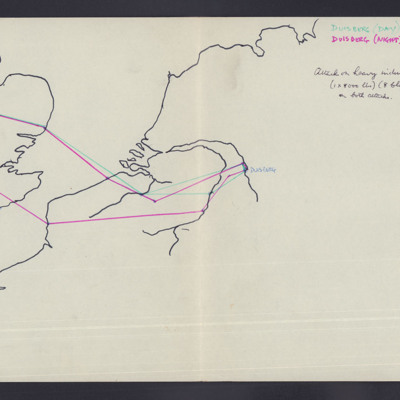
Route map Duisburg
This item was sent to the IBCC Digital Archive already in digital form. No better quality copies are available.
Tags: anti-aircraft fire; bombing
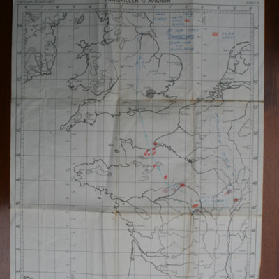
Route map Dijon
This item was sent to the IBCC Digital Archive already in digital form. No better quality copies are available.
Tags: bombing
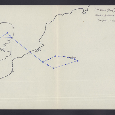
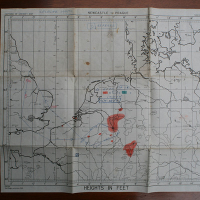
Route map Cologne
Tags: anti-aircraft fire; bombing
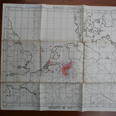
Route map Cologne
Tags: bombing
Route map Bochum
This item was sent to the IBCC Digital Archive already in digital form. No better quality copies are available.
Tags: anti-aircraft fire; bombing
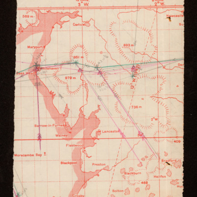
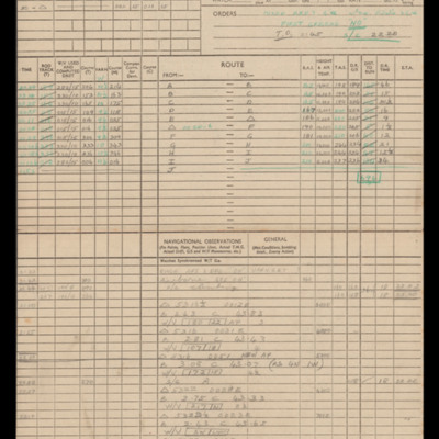
Route map and pilot's log
Tags: aircrew; bombing; navigator; pilot; target indicator
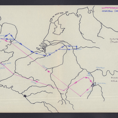
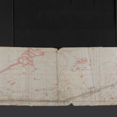
Route map - Ludwigshafen and Osterfeld
Tags: 195 Squadron; aircrew; bombing; navigator; RAF Witchford; searchlight
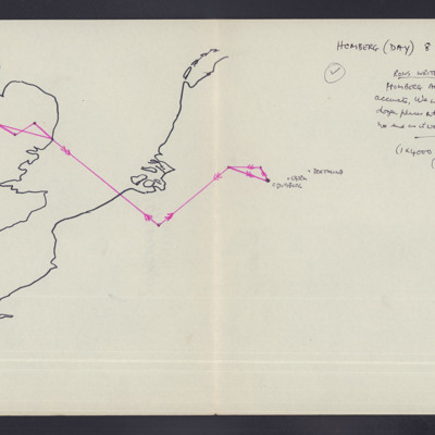
Route map - Homberg
Tags: aircrew; anti-aircraft fire; bombing; navigator
Rouen
Tags: 101 Squadron; aircrew; bombing; Lancaster; navigator; RAF Ludford Magna
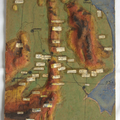
Relief Map of Lincolnshire's Bomber Airfields
This item was sent to the IBCC Digital Archive already in digital form. No better quality copies are available.
Tags: RAF Balderton; RAF Bardney; RAF Barkstone Heath; RAF Bottesford; RAF Coningsby; RAF Cottesmore; RAF Cranwell; RAF Digby; RAF Dunholme Lodge; RAF East Kirkby; RAF East Retford; RAF Finningley; RAF Fiskerton; RAF Grantham; RAF Harlaxton; RAF Hemswell; RAF Kirton in Lindsey; RAF Langar; RAF Lindholme; RAF Manby; RAF Metheringham; RAF Newton; RAF North Coates; RAF North Luffenham; RAF Peterborough; RAF Saltby; RAF Scampton; RAF Skellingthorpe; RAF Spilsby; RAF Strubby; RAF Swinderby; RAF Syerston; RAF Waddington; RAF Wigsley; RAF Winthorpe; RAF Wittering; RAF Woodhall Spa; RAF Woolfox Lodge

