Ford, Terry. Navigation logs
Title
Ford, Terry. Navigation logs
Description
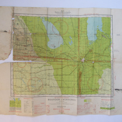
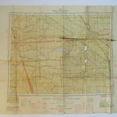
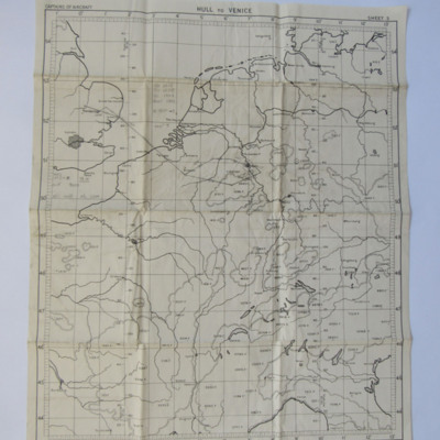
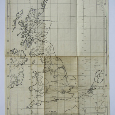
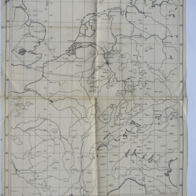
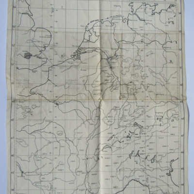
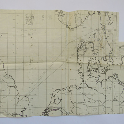
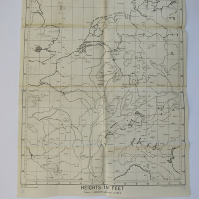
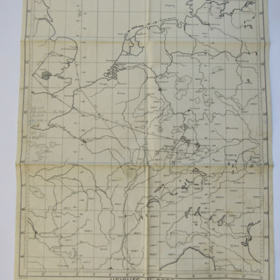
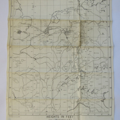
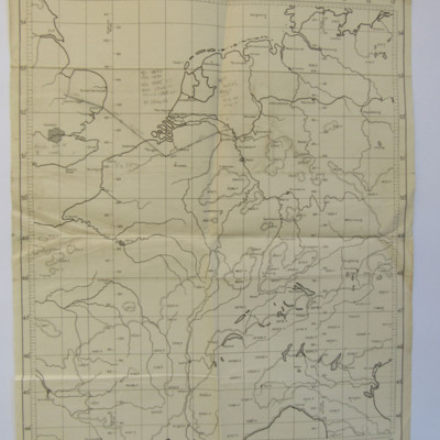
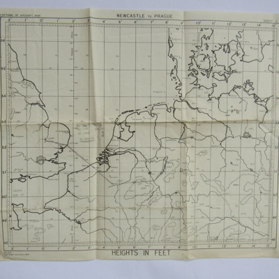
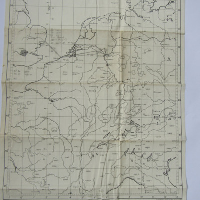
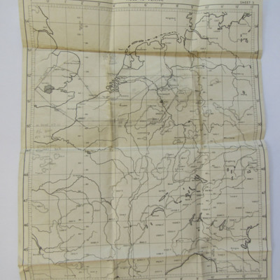
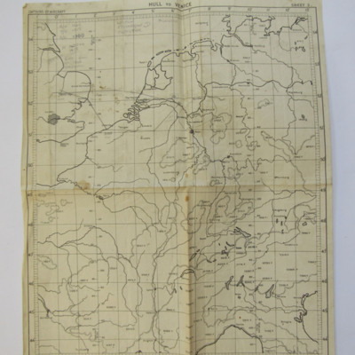
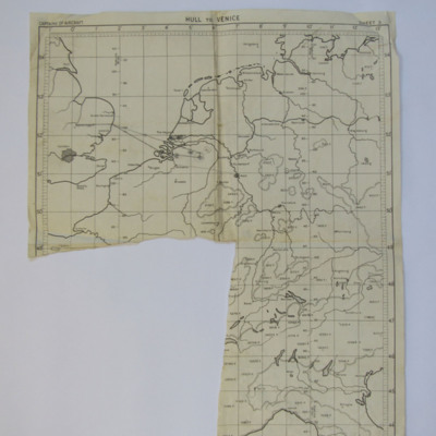
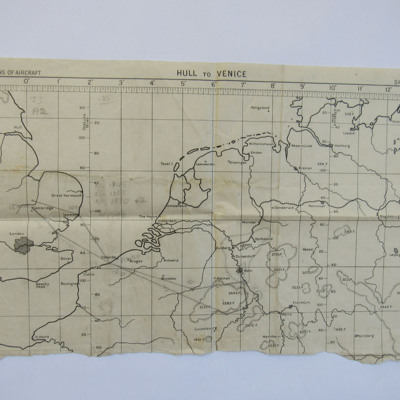
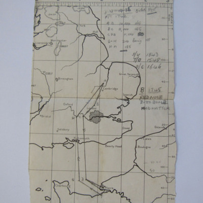
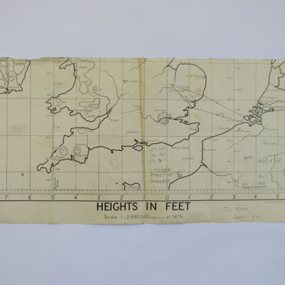
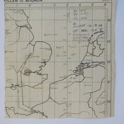
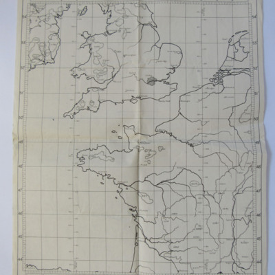
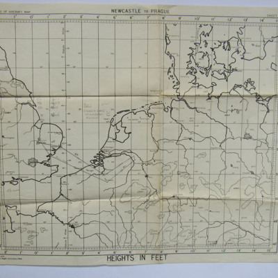
36 charts and navigation logs from his training in Canada and from his operations.
Publisher
IBCC Digital Archive
Rights
This content is available under a CC BY-NC 4.0 International license (Creative Commons Attribution-NonCommercial 4.0). It has been published ‘as is’ and may contain inaccuracies or culturally inappropriate references that do not necessarily reflect the official policy or position of the University of Lincoln or the International Bomber Command Centre. For more information, visit https://creativecommons.org/licenses/by-nc/4.0/ and https://ibccdigitalarchive.lincoln.ac.uk/omeka/legal.
Identifier
Ford, T
Collection Items
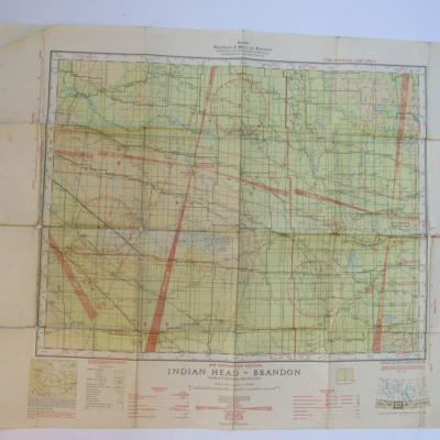
Indian Head-Brandon Chart
A Canadian air chart covering the Indian Head and Brandon areas, Saskatchewan and Manitoba.
Planning Chart from Mepal to Calais
A planning chart used for an operation to Calais, with handwritten annotations
Planning Chart from Waterbeach to Cologne
A planning chart used for a route from Waterbeach to Cologne then Mepal
Planning Chart for Cross-Country from Chedburgh
A planning chart used for a cross-country exercise Chedburgh-North Sea-Hinckley-Sheffield-Hull-Louth-Chedburgh, with handwritten annotations.
Planning Chart from Mepal to Essen
A planning chart used on an operation to Essen, with handwritten annotations.
Planning Chart from Waterbeach to Essen
A planning chart for the route from Waterbeach to Essen then Mepal, with handwritten annotations.
Planning Chart from Mepal to the Kattegat
A planning chart used for mine laying in the Kattegat, off Denmark.
Planning Chart from Mepal to Dortmund
A planning chart used for an operation to Dortmund, with handwritten annotations.
Planning Chart from Mepal to Stuttgart
A planning chart used for an operation to Stuttgart, with handwritten annotations
Planning Chart from Waterbeach to Essen
A planning chart for an operation to a target north west of Essen, with handwritten annotations.
Planning Chart from Mepal to Duisburg
A planning chart for an operationto a target close to Duisburg, with handwritten annotations.
Planning Chart from Waterbeach to Soest Marshalling Yards
A planned route from Waterbeach to Soest, with handwritten annotations
Planning Chart from Mepal to Vlissingen
A planned route from Mepal to Flushing, with handwritten annotations.
Planning Chart from Mepal to near Essen
A planning chart for an operation to the west-north-west of Essen.
Planning Chart from Mepal to Dortmund
A planning chart for an operation from Mepal to Dortmund. On both sides are handwritten annotations.
Planning Chart from Waterbeach to Emmerich
A planning chart for an operation to Emmerich starting at Waterbeach and ending at Mepal. Both sides have handwritten annotations.
Planning Chart from Waterbeach to Eindhoven
A planning chart for an operation from Waterbeach to Eindhoven with handwritten annotations on both sides.
Planning Chart from Waterbeach to Bonn
A planning chart for an operation to Bonn, originating at Waterbeach and ending at Mepal with handwritten annotations.
Planning Chart from Mepal to Le Havre
A palnning chart for an operation to Le Havre. On the front are handwritten annotations and on the reverse 'Waterbeach' and 'F/L 6-65000'
Planning Chart from Mepal to Westkapelle
A planning chart from Mepal to Westkapelle. On the front are calculations and on the reverse a sketch of the target.
Planning Chart from Mepal to Le Havre
A planning chart for an operation to Le Havre. On the front are handwritten annotations and on the reverse a sketch of the target.
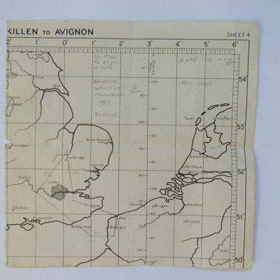
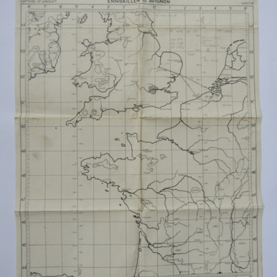
Planning Chart
A planning chart, titled Enniskillen to Avignon. On the reverse are handwritten annotations.
Planning Chart for an operation to West Germany
A planning chart for a route from Waterbeach to West Germany then Mepal. On the reverse are handwritten latitudes and longitudes.
Collection Tree
- Ford, Terry
- Ford, Terry. Navigation logs

