Browse Items (1459 total)
- Tags: aerial photograph
Sort by:
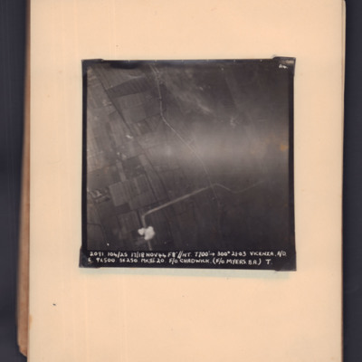
Vicenza
Target photograph of open countryside. Road runs bottom middle zig-zag to middle right. Bomb explosion bottom middle. Captioned '2091, 104/25, 17/18 Nov 44, F8, NT, 7700 ft,→ 300 degrees, 21.03, Vicenza, A/O. E, 9x500, 3x250 MkIII 20, F/O Chadwick.…
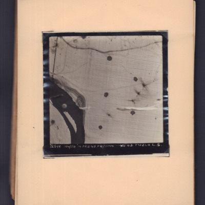
Tuzla
Target photograph showing snow-covered ground with a river middle left to bottom left. A parachute is visible over the river, and parachute shadows are visible on the open ground to the right. Captioned '2599, 104/58, 14 Feb 45, F8, 1000 ft,→…
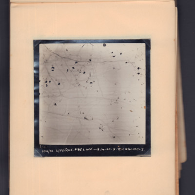
Črnomelj
Target photograph showing snow-covered open countryside with parachute shadows. Captioned '2547 104/52, 3 Feb 45, 1400 ft, →14.20, X.Z, Crnomelj'.
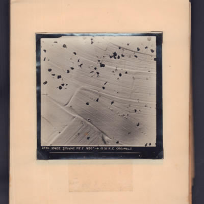
Črnomelj
Target photograph showing snow-covered open countryside with parachute shadows. Captioned '2540, 104/52, 2 Feb 45, F8, 950 ft,→ 15.35, K.C. Crnomelj'.
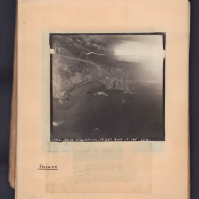
Salonika
Target photograph showing a coastline running middle left to middle right. Bay on left, town and port towards the right side. Explosions visible in bay. Captioned '1912.104/6, 21/22 Sept 44, F8, NT, 8100 ft,→ 130 degrees, 20.01'. Handwritten below…
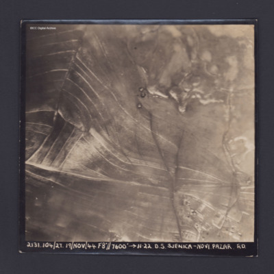
Sjenica Novi Pazar
Target photograph showing fields and on left and built up area bottom right. Captioned '2131.104/27, 19 Nov 44, F8, 7600 ft,→ 11.22, D.S. Sjenica Novi Pazar Rd'.
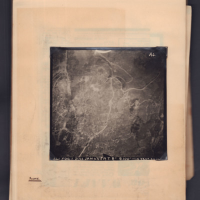
Fiume
Target photograph showing a town with a main road running through from top right to bottom left. Captioned '641, FOG, 1, 21/22 Jan 44, NT 8", 8100ft→ , 330 degrees, [...]'. 'A4' Annotated 'Fiume'.
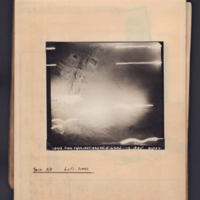
Tatoi aerodrome
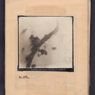
Target photograph showing some buildings top left and flares across the bottom. Captioned '1846.Fog, 13/14 Sep 44, NT 8", 6400ft,→ 090 degrees. 0007'. Annotated 'Tatoi A/D 6 x TI flares'.
Verona
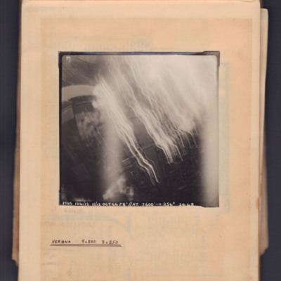
Target photograph showing river running top left curving to bottom right. Tracer and flares on right side. Captioned '1965, 104/12.11/12 Oct 44, F8, NT, 7600 ft→, 254 degrees, 20.48' . Annotated 'Verona 9x500 3x250'.
Latisana railroad bridge
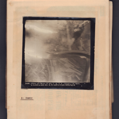
Target photograph showing river running left to right in centre with flare on left side. Captioned '6' and '2480, 104/46, 4/5 Jan 45, F8, NT, ?,→ ??, Latisana RR Bdge, H, 9x500:6x250 Mk IV, 18, F/O Chadwick (F/O Myers B.A.) Z'. Annotated on page…
Zagreb
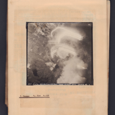
Target photograph showing built up area to right side with tracer flare and bomb explosion on the right. Captioned 'A4' and '2017.104/16, 16/17 Oct 44, F8, NT 7600 ft,→ 048 degrees, 2014, Zagreb M/Y, V'. Annotated on page 'F - Freddie, 9x500,…
Bridge at Doboj
Target photograph showing snow-covered landscape with river running bottom left curving to top right. In the centre a bridge with bomb explosions on both banks. Captioned '2490, 104/47, 5 Jan 45, F8, 7100 ft,→ 11.06, C.F. Doboj. Annotated on page…
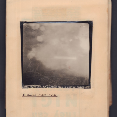
Trieste
Target photograph showing streets on left side with clouds/bomb explosions centre and right side. Captioned 'P4' and '2004, 104/15, 15/16 Oct 44, F8, NT 7000 ft→ 093 degrees, 1931, Trieste M/Y'. Annotated on page 'Q - Queenie, 9x500, 9x250'.
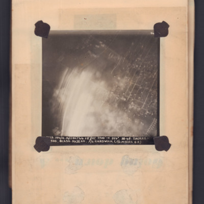
Zagreb
Target photograph showing grid pattern of gardens with light flare bottom left. Captioned 'A4' and '[..23], 104/16, 16/17 Oct 44, F8, NT 7000 ft,→ 354 degrees, 20-48, Zagreb M/[..], [..] 500, 8x250 Mk III 20, F/O Chadwick (F/O Myers B.A.)'.
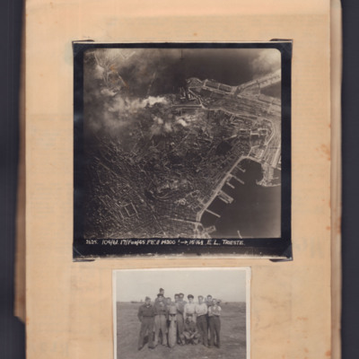
Trieste and airmen with bomb
Top - target photograph of a large port city with land to the left side and port with piers bottom right. Bomb explosions top centre. Captioned '2625 104/61, 17 Feb 45, F8, 14200ft→ , 15.16 1/2. E.L. Trieste'.
Bottom - eleven airmen round a…
Bottom - eleven airmen round a…
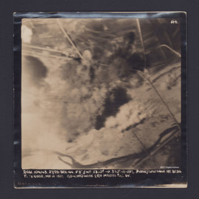
Piave/Susegana
Target photograph showing river along the bottom and roads with bomb explosions in the centre. Captioned '2461.104/43, 27/28 Dec 44, F8".//NT 5300' →, 330 degrees, 18.02, Piave/Susegana RR, BF,DG, T., [ ] x 4000 Mk III, 15 1/2, F/O Chadwick (F/O…
Cologne
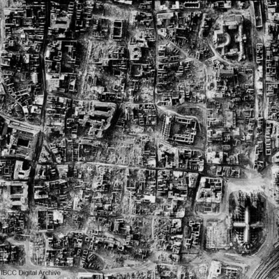
A vertical photograph taken of the destruction of Cologne. Almost every building has been destroyed. The cathedral is in the bottom right corner. Submitted with caption: 'The results of bombing on the centre of the German city of Cologne, February…
Clewiston
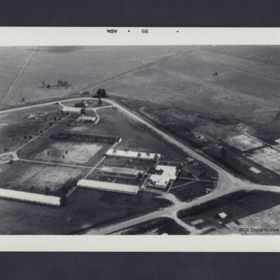
Buildings inside a diamond shaped pattern of roads. Photo dated on front Nov 1968. On the reverse 'Clewiston, 1968'.
Clewiston airfield
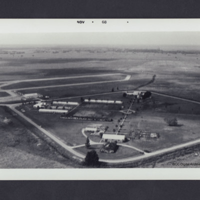
Buildings inside a diamond shaped pattern of roads with airfield in middle distance left. Photograph dated on front Nov 1968. On the reverse 'Clewiston, 1968 looking WSW'.
Clewiston airfield
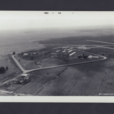
Oblique aerial photograph showing buildings surrounded by diamond shaped pattern of roads with airfield in the middle distance on the right. Photograph dated on front Nov 1968. On the reverse 'Clewiston, 1968 looking SSE'.
Target photograph
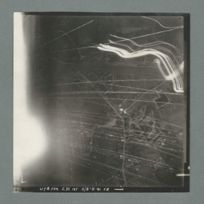
Target photograph showing a small built up area with road running bottom centre right to top right. Numerous tracer lines and flares. Caption 'UYB 594, Z35, NT, 5/6.8.41, F8'.
617 squadron attack on St Cyr
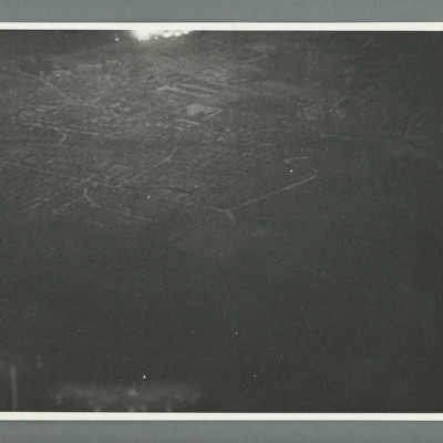
Night oblique aerial photograph showing a town with flares top centre. On the reverse 'Cam 1, Neg 1, 10.4.44, 150, St Cyr Airpark, 617,S/Lfr Munro, Lancaster, 0200,orbiting,10000/6000'.
Tags: 617 Squadron; aerial photograph; bombing; Lancaster
Szombathely
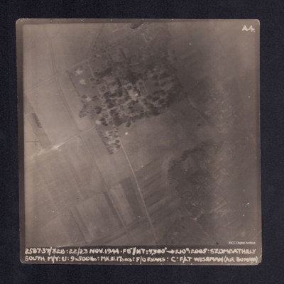
A vertical aerial photograph taken during the bombing of Szombathely South marshalling yard. Fields and a wood are visible with connecting grid of road. It is captioned ' 2. 37/328. 22/23 NOV.44. F8"//NT.7300' -->210°. 2005 . Szombathely South M/Y.…
Szombathely
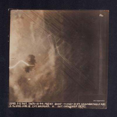
A vertical aerial photograph taken during the bombing of Szombathely aerodrome. The left side of the image is obscured by explosions and smoke. It is captioned ' 2393. 37/307. 20/21.10.44. F8//NT.8000' -->020°. 21.57.Szombathely A/D. X. 9x500. MkIII…
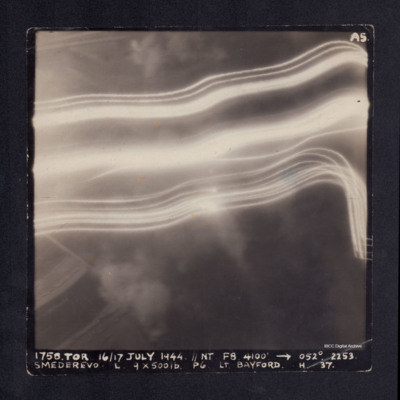
Smederevo
A vertical aerial photograph taken during the bombing of Smederevo. No detail is visible due to anti-aircraft flashes. It is captioned '1758. TOR 16/17 JULY 1944.//NT F8 4100' -->052°. 2253. Smederevo. L. 9 x 500 lb P6 Lt.Bayford. H. 37.'

