Browse Items (34 total)
- Is Part Of is exactly "O’Hara, Paddy. Folder POHaraHF1601"
Sort by:
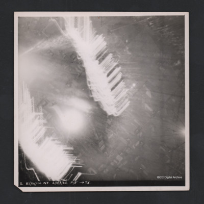
Obscured target
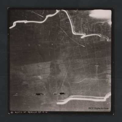
Vertical aerial photograph of unidentified location. Most detail is obscured by anti-aircraft fire. Some roads and fields can be made out. Captioned ‘2. E(Y4) 12 NT 2/3/7/42 F/8” [arrow] TX’.
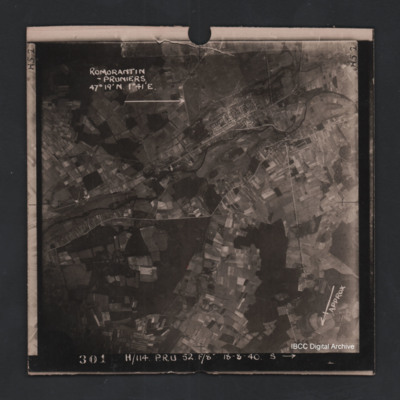
Romorantin-Pruniers aerodrome
Vertical aerial photograph of Romorantin-Pruniers aerodrome, identified with text ‘Romorantin-Pruniers 46° 19’N 1°41E’. The remainder of the photograph is rural with small villages except for the airfield area which has many buildings. An…
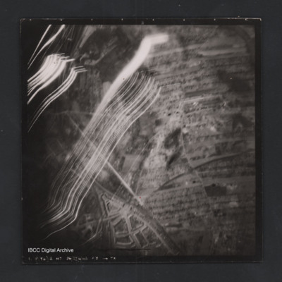
Rostock
Vertical aerial photograph of a railway junction. At the bottom is Rostock urban area. Anti-aircraft trace fire obscures part of the left side. Captioned ‘1. P(Y6) 12 NT 26/27/4/42 F/8” [arrow] TX’, on the reverse 2500’ W of old…
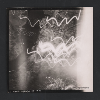
Rostock
Vertical aerial photograph of Rostock. Most detail is obscured by anti-aircraft fire. The Unterwarnow and the Altstadt are partially visible. Captioned ‘1. T(Y5) 12 NT 26/27/4/42 F/8” [arrow] TX’.
Rouen
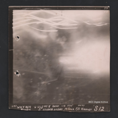
Vertical aerial photograph of Rouen. No ground detail visible, most of the image is obscured by flares or anti-aircraft fire. Captioned ‘5B 5B’and ‘647 Wky 18/19-4-44 //NT 8” 8000’ [arrow] 026° 0027 Rouen S 11x1000 4x500 19secs F/S…
Rouen
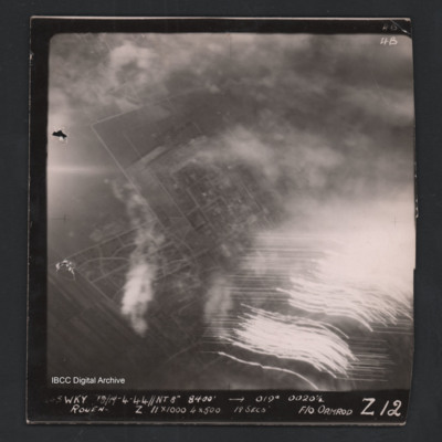
Vertical aerial photograph of Rouen. Street patterns are visible but most of the image is obscured by flares or anti-aircraft fire. Captioned at top right ‘4B 4B’. Captioned along the bottom ‘[undecipherable] Wky 18/19-4-44 //NT 8” 8400’…
Rouen
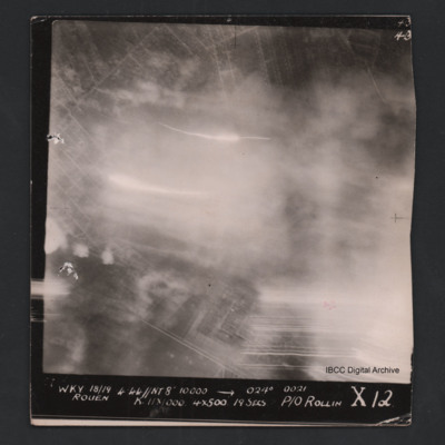
Vertical aerial photograph of Rouen. Street pattern just visible but most of the image is obscured by bombs, smoke and anti-aircraft fire. Captioned at top right ‘4B 4B’. Captioned '[undecipherable] WKY 18/19.4.44 // NT 8” 10000’ [arrow]…
Rural area
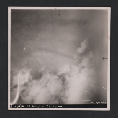
Vertical aerial photograph of unidentified location. Detail are largely obscured by clouds, smoke and anti-aircraft fire. Towards the top a road and fields are visible. Captioned ‘2. S (X8) 12 NT 31/1-1/2-42 TX. F/8” [arrow].
Urban area
Vertical aerial photograph of unnamed location. The image is largely clear, only a few lines of tracer are visible with street patterns and buildings clearly visible. At the bottom it is captioned ‘A B (x7) 12 NT. 29/30/4/42 F/8” [arrow]…

