Browse Items (34 total)
- Is Part Of is exactly "O’Hara, Paddy. Folder POHaraHF1601"
Sort by:
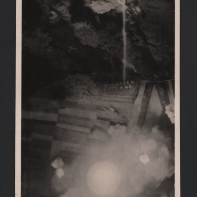
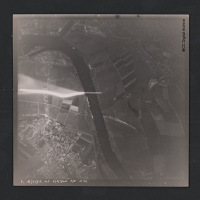
Lancaster under attack from anti-aircraft fire
Vertical aerial photograph of unnamed location. A Lancaster is silhouetted under the photo aircraft. It has dropped bombs and is now under attack from ant-aircraft fire which can be seen heading towards the aircraft.
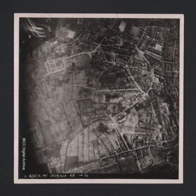
Kiel
Vertical aerial photograph of an urban area at the top and right hand side. Street patterns and parks are clearly visible. At the bottom it is captioned ‘1. R(X5) 12 NT 28/29/4/42 F/8” [arrow] TX’.
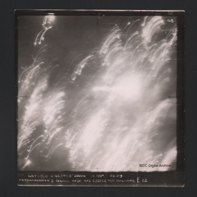
Friedrichshafen
Vertical aerial photograph of Friedrichshafen. All of the image is obscured by smoke, clouds and anti-aircraft fire. Captioned ‘4B 4B’ and '777 WKY 27/28-4-44 // NT 8” 20000’ [arrow] 170° 02.09 Friedrichshaven S 1 x 4000 6 x 30 6 x 4…
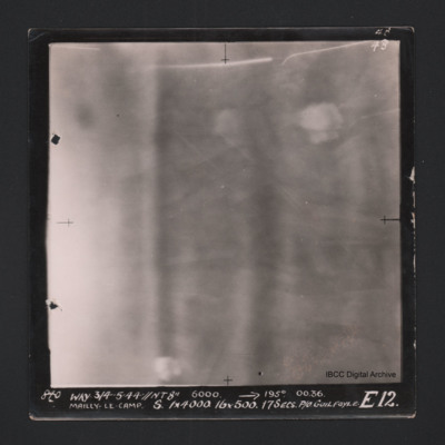
Mailly-le-Camp
Vertical aerial photograph of Mailly-le-Camp. Nothing on the image is very clear, on the left cloud or smoke. Fields and bomb burst elsewhere. Captioned ‘4B 4B’ and '840 WKY 3/4.5.44 // NT 8” 6000’ [arrow] 195° 0036 Mailly-le-Camp X…
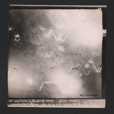
Friedrichshafen
Vertical aerial photograph of Friedrichshafen. Most of the image is obscured by smoke, clouds and anti-aircraft fire. Near the centre a regular street pattern is visible. Captioned ‘4B 4B’ and '797 WKY 27/28-4-44 // NT 8” 18000’ [arrow]…
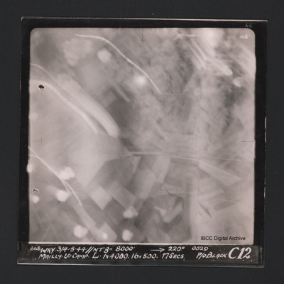
Mailly-le-Camp
Vertical aerial photograph of Mailly-le-Camp. Most of the image is obscured by anti-aircraft fire. Some roads and fields can be seen. Captioned at top right ‘4B 4B’. Captioned along the bottom ‘‘848 WKY 3/4.5.44 // NT 8” 8000’ [arrow]…
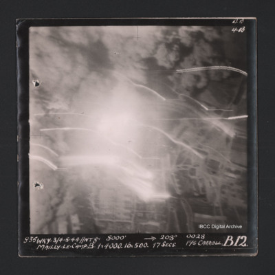
Mailly-le-Camp
Vertical aerial photograph of Mailly-le-Camp. Most of the image is obscured by bombs and smoke. Some roads and the camp can be seen. Captioned ‘4B 4B’ and '835 WKY 3/4.5.44 // NT 8” 8000’ [arrow] 208° 0028 Mailly-le-Camp X 1 x 4000…
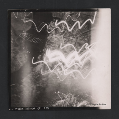
Rostock
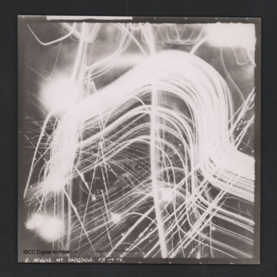
Vertical aerial photograph of Rostock. Most detail is obscured by anti-aircraft fire. The Unterwarnow and the Altstadt are partially visible. Captioned ‘1. T(Y5) 12 NT 26/27/4/42 F/8” [arrow] TX’.
Obscured target
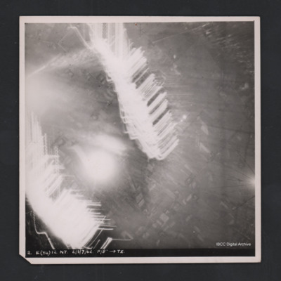
Vertical aerial photograph of unidentified location. Most detail is obscured by anti-aircraft fire. Some roads and fields can be made out. Captioned ‘2. E(Y4) 12 NT 2/3/7/42 F/8” [arrow] TX’.
Obscured target
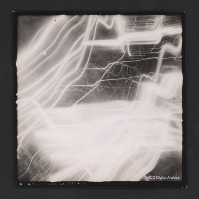
Vertical aerial photograph of unidentified location. Details are obscured by anti-aircraft fire. Captioned ‘5. P(X6) 12 NT 26/27/4/42 F/8” [arrow] TX’.
Mailly-le-Camp
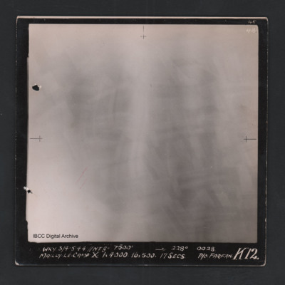
Vertical aerial photograph of Mailly-le-Camp. All of the image is obscured by bombs and smoke. Captioned ‘4B 4B’ and 'WKY 3/4.5.44 // NT 8” 7500’ [arrow] 228° 0028 Mailly-le-Camp X 1 x 4000 16 x 500 17secs P/O Farfan K12’.
Rouen
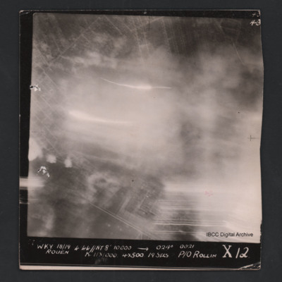
Vertical aerial photograph of Rouen. Street pattern just visible but most of the image is obscured by bombs, smoke and anti-aircraft fire. Captioned at top right ‘4B 4B’. Captioned '[undecipherable] WKY 18/19.4.44 // NT 8” 10000’ [arrow]…
Rural area
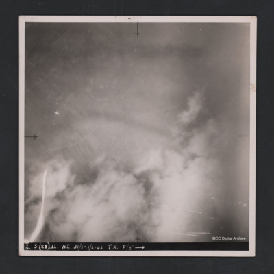
Vertical aerial photograph of unidentified location. Detail are largely obscured by clouds, smoke and anti-aircraft fire. Towards the top a road and fields are visible. Captioned ‘2. S (X8) 12 NT 31/1-1/2-42 TX. F/8” [arrow].
Obscured target
Vertical aerial photograph of unnamed location. No detail is visible, it is obscured by clouds, smoke and anti-aircraft fire. At the bottom it is captioned ‘B O (X7) 12 NT 29/30/4/42 F/8” [arrow] TX’.
Gennevilliers
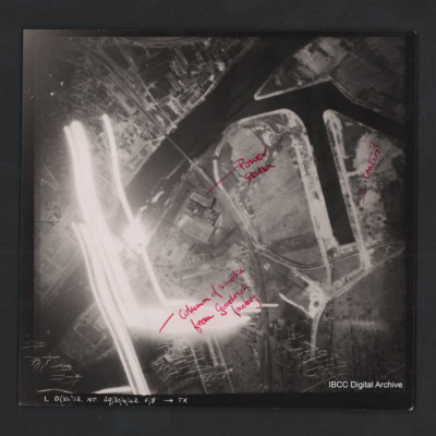
Vertical aerial photograph of Gennevilliers. The image is of factories and dockyards. Annotated ‘Column of smoke from Goodrich factory’, ‘Power station’ and ‘Craters?’ Captioned ‘1. O (X4) 12 NT 29/30/4/42 F/8” [arrow] TX’. On the…
Friedrichshafen
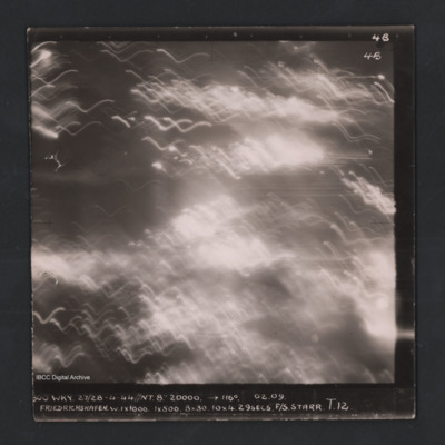
Vertical aerial photograph of Friedrichshafen. Entire image is obscured by smoke, clouds and anti-aircraft fire. Captioned ‘4B 4B’ and '800 WKY 27/28-4-44 // NT 8” 20000’ [arrow] 116° 02.09 Friedrichshaven W 1 x 1000 1 x 500 8 x 30…
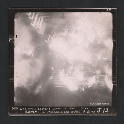
Aachen
Vertical aerial photograph of Aachen. The ground is obscured by bombs, smoke and anti-aircraft fire. Captioned ‘4B 4B’ and '624 WKY 11/12-4-44 // NT 8” 21000’ [arrow] 070° 22.46 Aachen L 11 x 1000 3 x 500 29secs P/O Black J12’
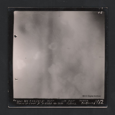
Mailly-le-Camp
Vertical aerial photograph of Mailly-le-Camp. Most of the image is obscured by clouds and smoke. Captioned ‘4B 4B’ and '841 WKY 3/4.5.44 // NT 8” 7000’ [arrow] 220° 0030 1/2 Mailly-le-Camp Y 1 x 4000 16 x 500 17secs P/O Rollin …
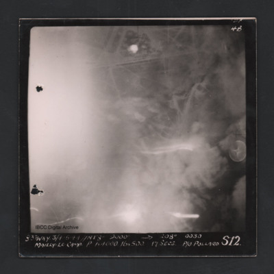
Mailly-le-Camp
Vertical aerial photograph of Mailly-le-Camp. Street patterns are visible but most of the image is obscured. Captioned ‘4B 4B’ and ‘831 WKY 3/4.5.44 // NT 8” 9000’ [arrow] 208° 0030 Mailly-le-Camp P 1 x 4000 16 x 500 17secs P/O…
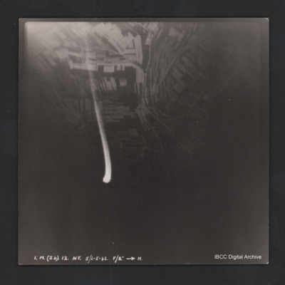
Fields and roads
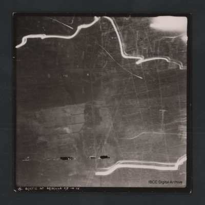
Vertical aerial photograph of unnamed location. The image is very dark with fields and roads visible at the top. In the centre is anti-aircraft fire. At the bottom it is captioned ‘3A B (X7) 12 NT 29/30/4/42 F/8” [arrow] TX’.
Bremen bridge
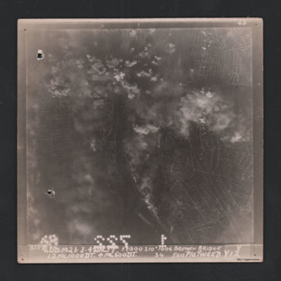
Vertical aerial photograph of Bremen bridge. Street patterns and a river with bridges are visible but central top of the image is obscured by bombs and smoke. Captioned at top right ‘4B 4B’. Captioned along the bottom ‘‘3258 Lud.M 23.3.45 …
Urban area
Vertical aerial photograph of unnamed location. The image is largely clear, only a few lines of tracer are visible with street patterns and buildings clearly visible. At the bottom it is captioned ‘A B (x7) 12 NT. 29/30/4/42 F/8” [arrow]…
Rouen
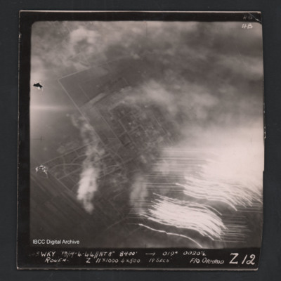
Vertical aerial photograph of Rouen. Street patterns are visible but most of the image is obscured by flares or anti-aircraft fire. Captioned at top right ‘4B 4B’. Captioned along the bottom ‘[undecipherable] Wky 18/19-4-44 //NT 8” 8400’…
Colombes
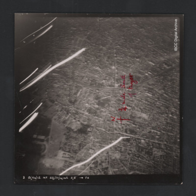
Vertical aerial photograph of Colombes, France. The image is largely clear, only a few lines of tracer are visible with street patterns and buildings clearly visible. Bottom left a large stadium is partly visible. Annotated on the image is a north…
Hemelingen
Vertical aerial photograph of Bremen Hemelingen. The image is largely clear with only one flare in the centre left. A large river bisects the image and in the top are docks. Street patterns and buildings are clearly visible. At the bottom it is…

