Browse Items (34 total)
- Is Part Of is exactly "O’Hara, Paddy. Folder POHaraHF1601"
Sort by:
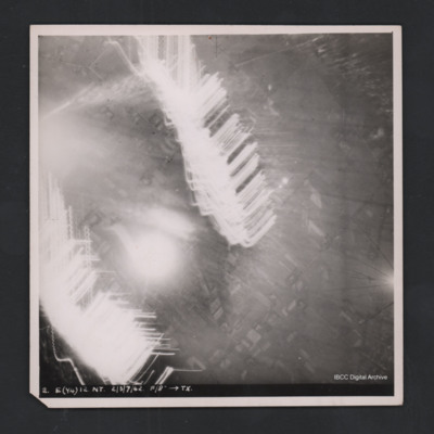
Obscured target
Vertical aerial photograph of unidentified location. Most detail is obscured by anti-aircraft fire. Some roads and fields can be made out. Captioned ‘2. E(Y4) 12 NT 2/3/7/42 F/8” [arrow] TX’.
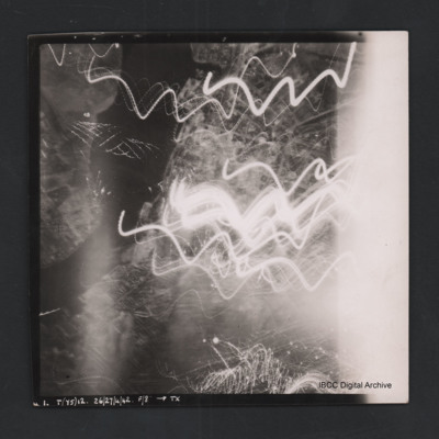
Rostock
Vertical aerial photograph of Rostock. Most detail is obscured by anti-aircraft fire. The Unterwarnow and the Altstadt are partially visible. Captioned ‘1. T(Y5) 12 NT 26/27/4/42 F/8” [arrow] TX’.
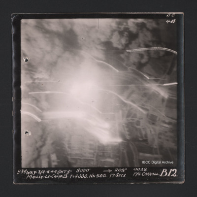
Mailly-le-Camp
Vertical aerial photograph of Mailly-le-Camp. Most of the image is obscured by bombs and smoke. Some roads and the camp can be seen. Captioned ‘4B 4B’ and '835 WKY 3/4.5.44 // NT 8” 8000’ [arrow] 208° 0028 Mailly-le-Camp X 1 x 4000…
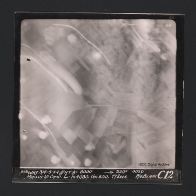
Mailly-le-Camp
Vertical aerial photograph of Mailly-le-Camp. Most of the image is obscured by anti-aircraft fire. Some roads and fields can be seen. Captioned at top right ‘4B 4B’. Captioned along the bottom ‘‘848 WKY 3/4.5.44 // NT 8” 8000’ [arrow]…
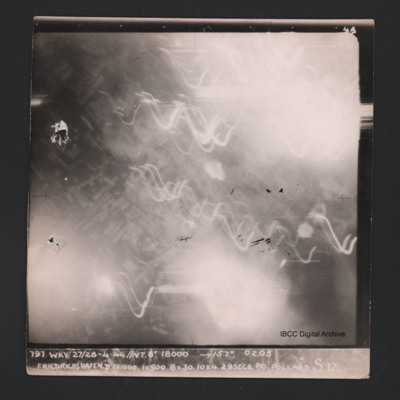
Friedrichshafen
Vertical aerial photograph of Friedrichshafen. Most of the image is obscured by smoke, clouds and anti-aircraft fire. Near the centre a regular street pattern is visible. Captioned ‘4B 4B’ and '797 WKY 27/28-4-44 // NT 8” 18000’ [arrow]…
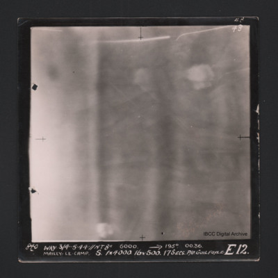
Mailly-le-Camp
Vertical aerial photograph of Mailly-le-Camp. Nothing on the image is very clear, on the left cloud or smoke. Fields and bomb burst elsewhere. Captioned ‘4B 4B’ and '840 WKY 3/4.5.44 // NT 8” 6000’ [arrow] 195° 0036 Mailly-le-Camp X…
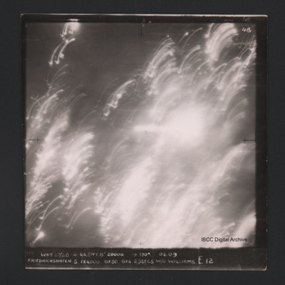
Friedrichshafen
Vertical aerial photograph of Friedrichshafen. All of the image is obscured by smoke, clouds and anti-aircraft fire. Captioned ‘4B 4B’ and '777 WKY 27/28-4-44 // NT 8” 20000’ [arrow] 170° 02.09 Friedrichshaven S 1 x 4000 6 x 30 6 x 4…
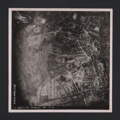
Kiel
Vertical aerial photograph of an urban area at the top and right hand side. Street patterns and parks are clearly visible. At the bottom it is captioned ‘1. R(X5) 12 NT 28/29/4/42 F/8” [arrow] TX’.
Lancaster under attack from anti-aircraft fire
Vertical aerial photograph of unnamed location. A Lancaster is silhouetted under the photo aircraft. It has dropped bombs and is now under attack from ant-aircraft fire which can be seen heading towards the aircraft.

