Navigational Computation
Title
Navigational Computation
Description
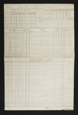
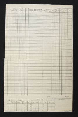
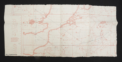
A navigational computation and a chart to a target in Germany.
Creator
Date
1944-12-15
Temporal Coverage
Spatial Coverage
Language
Format
Two printed sheets with handwritten calculations and a printed chart with a plotted route
Publisher
Rights
This content is available under a CC BY-NC 4.0 International license (Creative Commons Attribution-NonCommercial 4.0). It has been published ‘as is’ and may contain inaccuracies or culturally inappropriate references that do not necessarily reflect the official policy or position of the University of Lincoln or the International Bomber Command Centre. For more information, visit https://creativecommons.org/licenses/by-nc/4.0/ and https://ibccdigitalarchive.lincoln.ac.uk/omeka/legal.
Identifier
SCattyMA164193v10012-0001,
SCattyMA164193v10012-0002,
SCattyMA164193v10012-0003
SCattyMA164193v10012-0002,
SCattyMA164193v10012-0003
Citation
Martin Catty, “Navigational Computation,” IBCC Digital Archive, accessed July 27, 2024, https://ibccdigitalarchive.lincoln.ac.uk/omeka/collections/document/16208.
Item Relations
This item has no relations.


