Whittle, Geoffrey. Air charts
Title
Whittle, Geoffrey. Air charts
Description
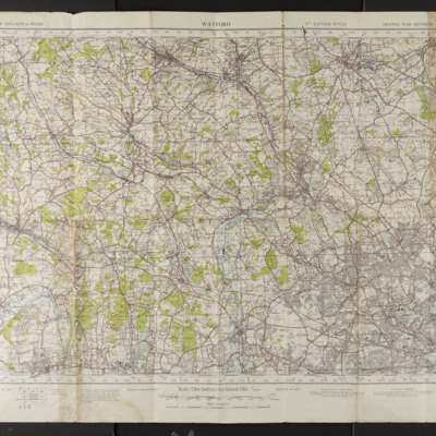
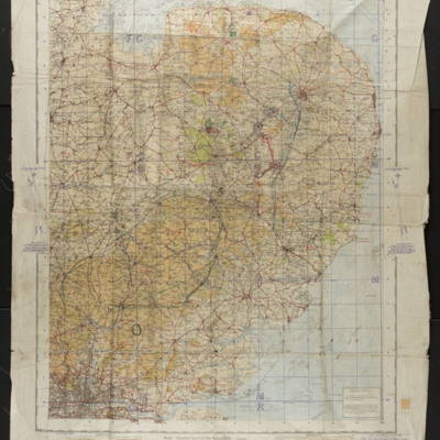
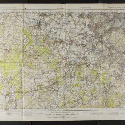
25 air charts of Great Britain and Australia, and a bomb damage sheet of Hamburg.
Date
2016-08-22
Publisher
IBCC Digital Archive
Rights
This content is available under a CC BY-NC 4.0 International license (Creative Commons Attribution-NonCommercial 4.0). It has been published ‘as is’ and may contain inaccuracies or culturally inappropriate references that do not necessarily reflect the official policy or position of the University of Lincoln or the International Bomber Command Centre. For more information, visit https://creativecommons.org/licenses/by-nc/4.0/ and https://ibccdigitalarchive.lincoln.ac.uk/omeka/legal.
Identifier
Whittle, G
Collection Items
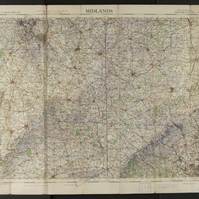
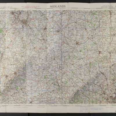
Midlands, Air Chart, Sheet 8
Ordnance Survey air chart of the Midlands, scale 1/4 inch to one mile, sheet 8. A triangular route has been marked on in blue chinagraph.
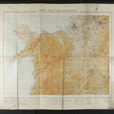
North Wales and Manchester Sheet 4
Ordnance Survey map of North Wales and Manchester, Military Edition, scale 1/4 inch to one mile, sheet 4.
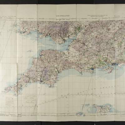
S W England, Sheet 7
Ordnance Survey aeronautical map of the south west of England, scale 1/4 inch to one mile, sheet 7.
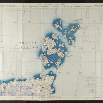
The Orkney Islands, Sheet 9
Ordnance Survey aeronautical map of the Orkney Islands, scale 1/4 inch to one mile, sheet 9.
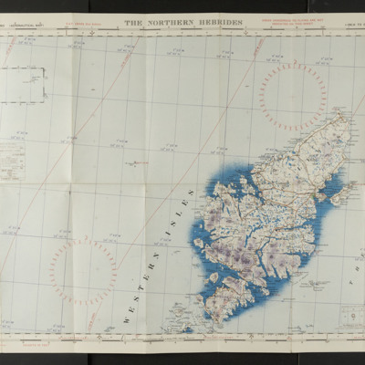
The Northern Hebrides, Sheet 8
Ordnance Survey aeronautical map of the Northern Hebrides, scale 1/4 inch to one mile, sheet 8.
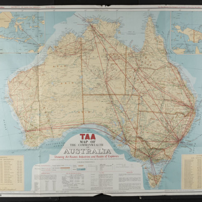
TAA Map of the Commonwealth of Australia
A map produced by Trans Australian Airlines (TAA) showing air routes, Industries and Routes of Explorers. There are tables of overseas and Australian air route distances.
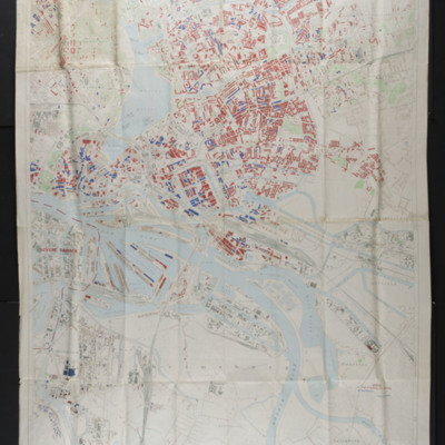
Bomb Damage Hamburg, Sheet 2, second edition
Map of bomb damage of Hamburg, scale 1:12500. Damaged buildings are coloured red or blue.
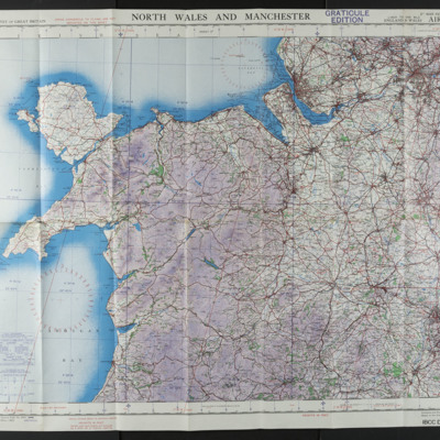
North Wales and Manchester, Air Chart, Sheet 4
Ordnance Survey air chart of North Wales and Manchester, scale 1/4 inch to one mile, sheet 4.
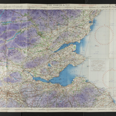
The Forth & Tay Air Chart, Sheet 3
Ordnance Survey air chart of the Forth and Tay, scale 1/4 inch to one mile, sheet 3.
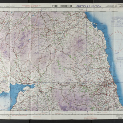
The Border Air Chart, Sheet 1
Ordnance Survey air chart of the Border area of Scotland and England, scale 1/4 inch to one mile
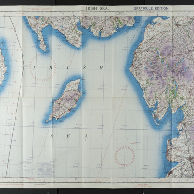
Irish Sea Air Chart, Sheet 2A
Ordnance Survey air chart of the Irish Sea, scale 1/4 inch to one mile, sheet 2A.
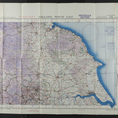
England, North East Air Chart Sheet 3
Ordnance Survey air chart of the north east of England, scale 1/4 inch to one mile, sheet 3.
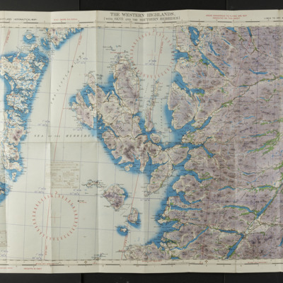
The Western Highlands Air Chart, Sheet 6
Ordnance Survey air chart of the Western Highlands, sheet 6, scale 1/4 inch to one mile.
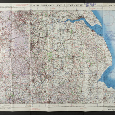
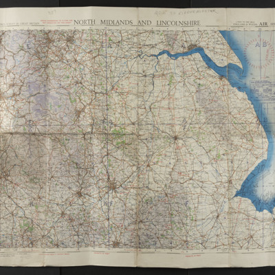
North Midlands and Lincolnshire Air Chart Sheet 6
Ordnance Survey air chart of North Midlands and Lincolnshire, scale 1/4 inch to one mile, sheet 6.
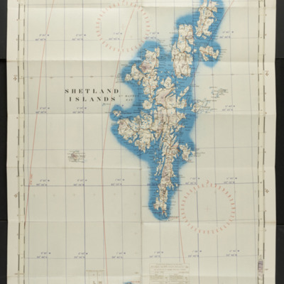
The Shetland Islands Air Chart, Sheet 10
Ordnance Survey air chart of the Shetland Islands, scale 1/4 inch to one mile.
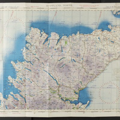
Scotland, North Air Chart, Sheet 7
Ordnance Survey air chart of the north of Scotland, scale 1/4 inch to one mile.
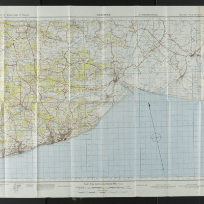
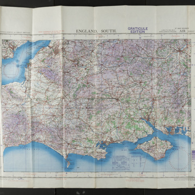
England, South Air Chart Sheet 11
Ordnance Survey air chart of the south of England, scale 1/4 inch to one mile, sheet 11.
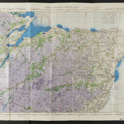
The Eastern Highlands Air Chart, Sheet 5
Ordnance Survey air chart of the Eastern Highlands of Scotland, scale 1/4 inch to one mile.
North Midlands and Lincolnshire Air chart Sheet 6
Ordnance Survey air chart, 1/4 inch to one mile scale, sheet 6
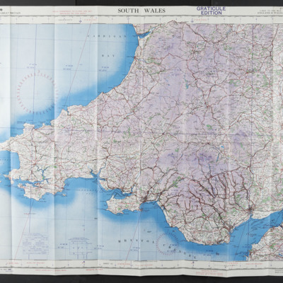
South Wales Air Chart Sheet 7
Ordnance Survey air chart of South Wales, sheet 7, scale 1/4 inch to one mile.
Collection Tree
- Whittle, Geoffrey
- Whittle, Geoffrey. Air charts

