Navigation notes
Title
Navigation notes
Description
Covers track and distance on Mercator and topographical maps, peculiarities of Mercator, scales and distances on both types of maps, gnomic projection and relief on Mercator and topographical maps.
Coverage
Language
Type
Format
Three page typewritten document
Publisher
Rights
This content is available under a CC BY-NC 4.0 International license (Creative Commons Attribution-NonCommercial 4.0). It has been published ‘as is’ and may contain inaccuracies or culturally inappropriate references that do not necessarily reflect the official policy or position of the University of Lincoln or the International Bomber Command Centre. For more information, visit https://creativecommons.org/licenses/by-nc/4.0/ and https://ibccdigitalarchive.lincoln.ac.uk/omeka/legal.
Contributor
Identifier
MSoltysiakB781032-170622-190001, MSoltysiakB781032-170622-190002, MSoltysiakB781032-170622-190003
Transcription
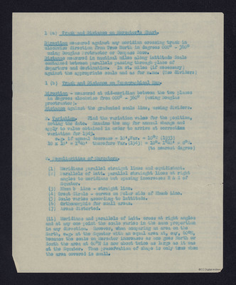
1 (a) [underlined] Track and Distance on Mercator's Chart. [/underlined]
[underlined] Direction [/underlined] measured against any meridian crossing track in clockwise direction from True North in degrees 000° – 360° using Douglas Protractor or Compass Rose.
[underlined] Distance [/underlined] measured in nautical miles along Lattitude [sic] Scale contained between parallels passing through place of departure and destination. In st. miles (if necessary) against the appropriate scale and as for n.ms. (Use dividers)
1 (b) [underlined] Track and Distance on Topographical Map. [/underlined]
[underlined] Direction [/underlined] – measured at mid-meridian between the two places in degrees clockwise from 000° – 360° (using Douglas proctractor [sic]).
[underlined] Distance [/underlined] against the graduated scale line, useing [sic] dividers.
2. [underlined] Variation. [/underlined] Find the variation value for the position, noting the date. Examine the map for annual change and apply to value obtained in order to arrive at correct[deleted] ion [/deleted] variation for 1943.
e.g. if annual decrease = 10', Var. = 10°W (1933)
10 x 10' = 1°40' therefore Var. (1943) = 10° – 1°40' = 8°W. (to nearest degree)
2. [underlined] Peculiarities of Mercators. [/underlined]
(1) Meridians parallel straight lines and equidistant.
(2) Parallels of Latt. parallel strainght [sic] lines at right angles to meridians but spacing incereases [sic] N & S of Equator.
(3) Rhum b Line – straight line.
(4) Great Circle – curves on Polar side of Rhumb Line.
(5) Scale varies according to lattitude.
(6) Orthomorphic for small areas.
(7) Areas distorted.
(ii) Meridians and parallels of Latt. cross at right angles and at any one point the scale varies in the same proportion in any direction. However, when comparing an area on the Earth, e.g. at the Equator with an equal area at, say, 60°N, because the scale on Mercator increases as one goes North or South the area at 60°N is now about twice as large as it was at the Equator. Thus preservation of shape is only true when the area covered is small.
[page break]
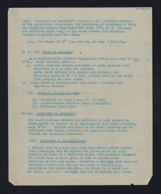
(iii) Althought [sic] the Mercator's Projection is a modified version of the cylindrical Projection, the projection of parallels of Latt. and Meridians becomes very distorted above 75°N. or S. The make the Lattitude scale vary, as the scale between the meridians becomes impossible near the Poles.
n.b. The Secant of 90° (i.e. the Lat. of Pole) = Infinity.
4. (i) (a) [underlined] Scale on Mercator. [/underlined]
As a representative fraction 1/1,000,000 but applies only to 56°N. Scale for each sheet:-
(a) Actual distance between parallels of Latt. increase with departure N. & S. from the Equator.
Latt. Scale divided into degrees and minutes & for measuring distance 1’ = 1 n.m. Similar scale in st. miles runs parallel to Latt. Scale.
(b) Long. Scale is constant over each sheet – divided into degrees & minutes.
(ii) [underlined] Scale on Topographic Map. [/underlined]
(a) Statement in words (e.g. 1” = 1 mile)
(b) Representative Fraction (e.g. 1/500,000.)
(c) Graduated Scale Line.
44. (ii) [underlined] Distances on Mercators. [/underlined]
The chart distance between two meridians is only correct to scale either at Equator or if mentioned at some other parallel, e.g. 56°N. Because meridians on the earth converge but on Mercators they remain parallel, the scale obviously is not correct for measuring distances.
(iii) [underlined] Distances on Topographical. [/underlined]
A staight [sic] line on a 1/500,000 only represents a Great Circle. Such a straight line [deleted word] between two places would cut each meridian it meets at a different angle. The essential features of a track i.e. a Rhumb Line, is that it should cross meridians at the same angle. Therefore a straight line does not represent a Track but for any one sheet if direction is measured at the Middle Meridian, the error is so small that for normal purposes a straight line can be treated as a Track.
[page break]
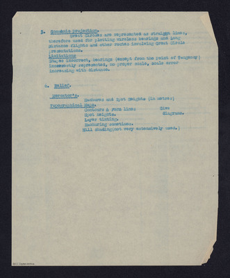
5. [underlined] Gnomonic Projection. [/underlined]
Great Circles are represented as straight lines, therefore used for plotting wireless bearings and Long Distance flights and other routes involving Great Circle presentations.
[underlined] Limitations [/underlined]
Shapes incorrect, bearings (except from the Point of Tangency) incorrectly represented, no proper scale, scale error increasing with distance.
6. [underlined] Relief. [/underlined]
[underlined] Mercator's. [/underlined]
Hachures and Spot Heights (in metres)
[underlined] Topographical Maps. [/underlined]
Contours & Form lines – Give diagrams.
Spot heights.
Layer tinting.
Hachuring sometimes.
Hill shading (not very extensively used.)
Collection
Citation
“Navigation notes,” IBCC Digital Archive, accessed July 22, 2024, https://ibccdigitalarchive.lincoln.ac.uk/omeka/collections/document/34975.
Item Relations
This item has no relations.


