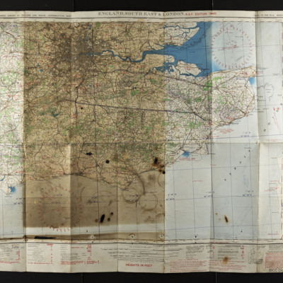
Leadbetter, John. Maps and Charts
Title
Leadbetter, John. Maps and Charts
Description
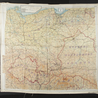
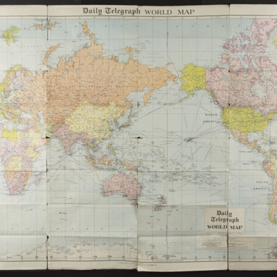
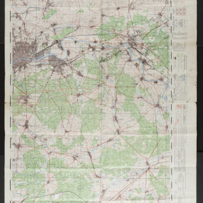
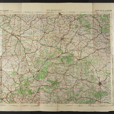
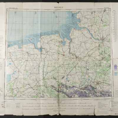
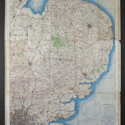
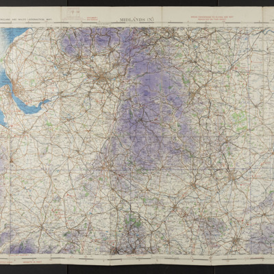
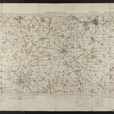
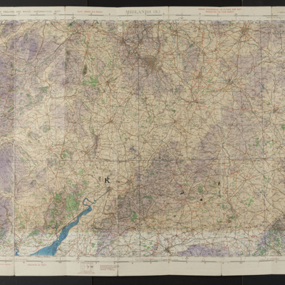
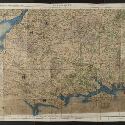
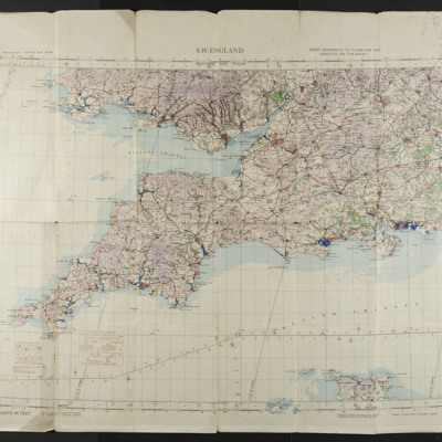
20 items. Maps of parts of Europe.
Date
2016-04-21
Publisher
IBCC Digital Archive
Rights
This content is available under a CC BY-NC 4.0 International license (Creative Commons Attribution-NonCommercial 4.0). It has been published ‘as is’ and may contain inaccuracies or culturally inappropriate references that do not necessarily reflect the official policy or position of the University of Lincoln or the International Bomber Command Centre. For more information, visit https://creativecommons.org/licenses/by-nc/4.0/ and https://ibccdigitalarchive.lincoln.ac.uk/omeka/legal.
Identifier
Leadbetter, J
Collection Items
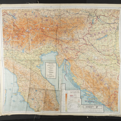
Sheet F Adriatic
A map of the Adriatic covering parts of Italy, Switzerland, Germany, Slovakia, Hungary, Croatia and Montenegro.
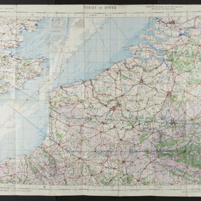
Strait of Dover
An aeronautical chart covering the south east of England, the north east of France and Belgium.
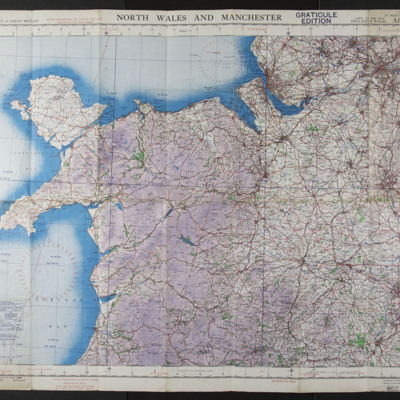
North Wales and Manchester
An aeronautical chart covering North Wales and Manchester. This edition is marked 'Graticule Edition'.
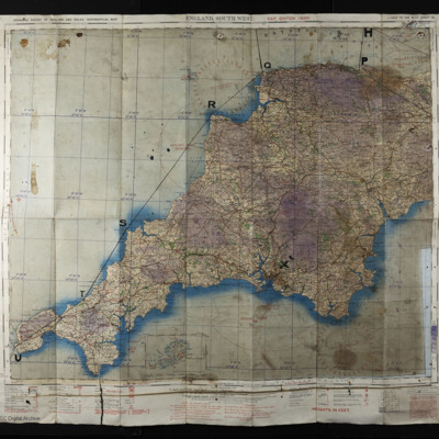
England, South West
An aeronautical chart covering the south west of England. It has been marked with a route.
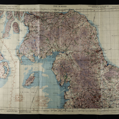
The Border Chart
An aeronautical chart covering England from the Humber to the Clyde in Scotland at a scale of 1:500000.
Collection Tree
- Leadbetter, John
- Leadbetter, John. Maps and Charts

